

Our annual backpacking trip invitations are usually met with an average acceptance rate. After asking a full-time working adult if they want to spend their limited vacation time walking in the pouring rain, a very reasonable response is some variation of that sounds fun, but I do not have the time. This is what I expected as I began pitching the idea of the West Highland Way. Perhaps something about the combination of the words backpacking and Scottish pubs was convincing enough, as nearly everyone we asked excitedly agreed. Despite all of us continuing to grow older and adopt new responsibilities, our group of eight made the necessary time for this trip, all in the name of adventure and comradery. I think that is really cool.
There was just one small problem for Amy, which we discovered a few weeks after finalizing the plans. Our group tally was actually closer to eight and a half. Amy was twelve weeks pregnant with our first child! In addition to this being the least ultralight thing she could possibly do, it meant dealing with a slew of first trimester pregnancy symptoms as she hiked through the already unpredictable conditions of the Scottish Highlands. I knew Amy was a tremendously capable hiker, but her nausea was all but debilitating in the weeks leading up to our trip. Still, she refused to sit out and committed to the long walk along with the rest of us, with no other plan than to tough it out.
Where: The West Highland Way, NoBo through the Scottish Highlands from Milngavie to Fort William
When: 9/6 – 9/11
Distance: 96 miles (+10 for Ben Nevis)
Conditions: 50s to 60s, mostly rainy and cloudy, one day of sunshine
Planning Information
Skip to Trip Report
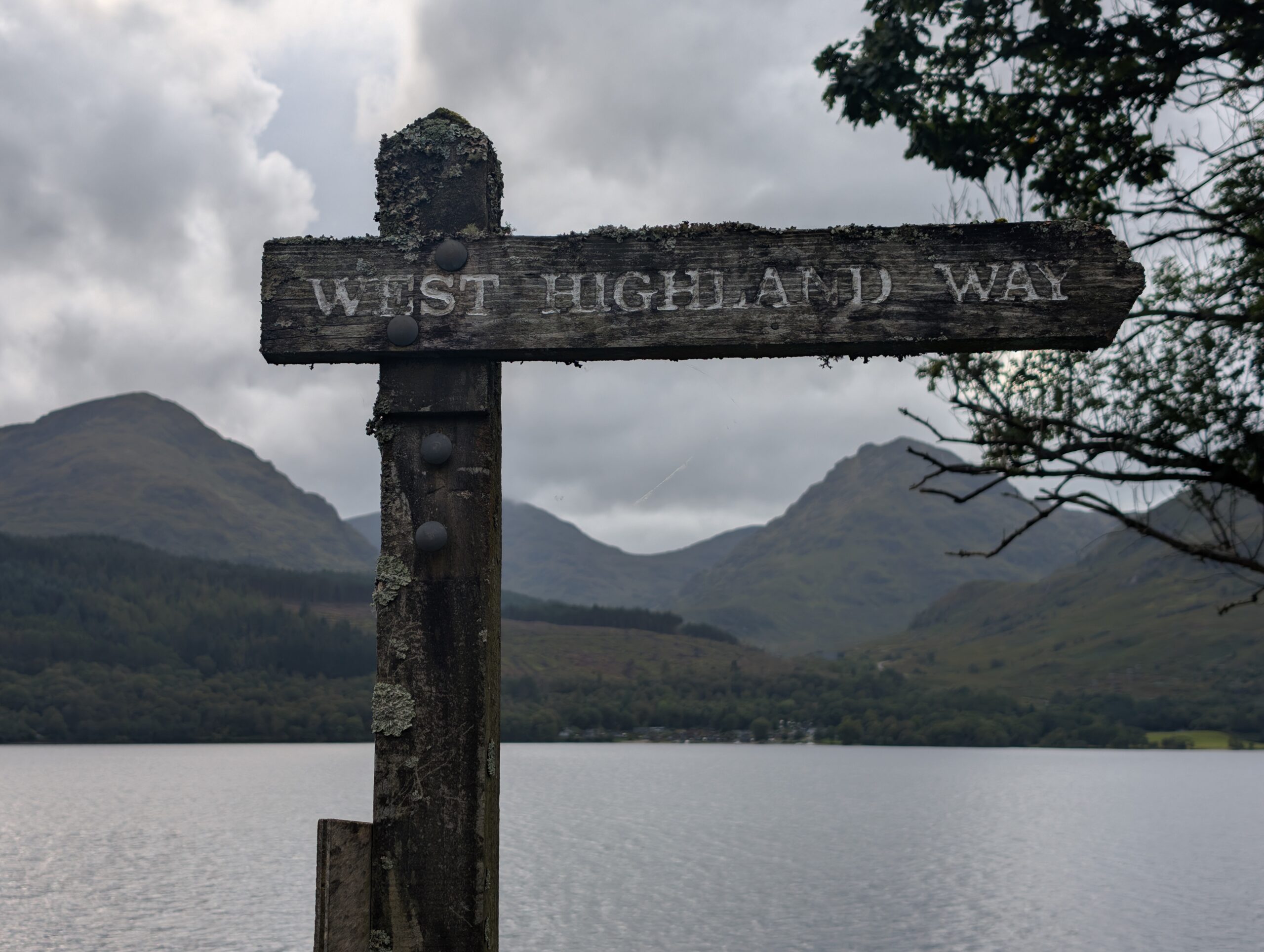
The West Highland Way is Scotland’s most famous long-distance walking trail. As the name implies, it traverses the western highlands, stretching south to north from Milngavie to Fort William. The highlands are exceptionally diverse, known for traditional Scottish countryside, loch-shores, and steep mountains. The tallest mountain in the United Kingdom, Ben Nevis, is located near the northern terminus of the trail at Fort William.
This is a frontcountry trail, which passes a series of small towns, inns, campgrounds, and pubs every handful of miles. Consequently, it is not nearly as remote or wild as American trails tend to be, but instead offers a unique, cultural experience in addition to the beautiful landscape.
The West Highland Way is civilized enough to offer ample hiker services and popular enough to attract hikers who take advantage of them. A common way to attempt the walk is by booking accommodations for each night with luggage forwarding between inns. Doing so would eliminate any consideration about pack weight and greatly simplify the required gear. However, our group tent camped for the majority of the trail and chose to carry everything with us the ol’ fashioned way.
The Scottish highlands are known for sustained rainfall, humidity, and unpredictable weather. I’m still in the Frogg Toggs camp for rain jackets and I used these clear, plastic luggage bags to line the inside of my pack. My Patagonia Houdini windbreaker was once again my favorite layer on this hike. Rain in the highlands is often the persistent, misty variety (as opposed to heavy downpours), which it handles very well. I found it preferable to my clammy rain jacket most of the time. It was also great to wear on exposed, windy sections, such as climbing Ben Nevis.
The internet fear-mongered me to prepare for a midge apocalypse. Midges are these tiny biting insects found throughout the region. I packed a Sea to Summit bug head net and Ben’s 30% deet bug spray. Gear stores in Glasgow and towns along the trail sell specialized midge nets (with smaller mesh holes) and a Picaridin-based bug spray called Smidge, which is supposedly specially formulated to keep midges away. Long pants and a long shirt would be ideal, but I was generally fine with shorts.
Season
May-September is peak season in the highlands. The head and tail months offer more moderate temperatures, fewer midges, and marginally less crowding. Expect higher heat and humidity in the summer, of course. People walk this trail even in winter, but you must deal with heavy snow and fewer open amenities in town – not my cup of Scottish breakfast.
One of the major considerations regarding time of year is how the landscape will actually look. In Spring and early Summer, the grass will be lush and green. Come September, the autumn countryside offers a unique aesthetic. Moody weather is part of the Scotland experience, so do not expect to dodge the rain and wind by planning a hike during a specific weather window.
Water
Water can be sourced entirely from local businesses along the way. Otherwise, lochs and streams are regular enough to top off without any significantly long water carries – if carrying a filter. However, there was a concerning amount of toilet paper all over the trail and I did not trust many of the natural water sources. It would be wise to carry some iodine tablets to treat water in addition to filtering. I started the trail with a little over 3 liters of water capacity, but generally only carried 2 liters at a time.
Resupply
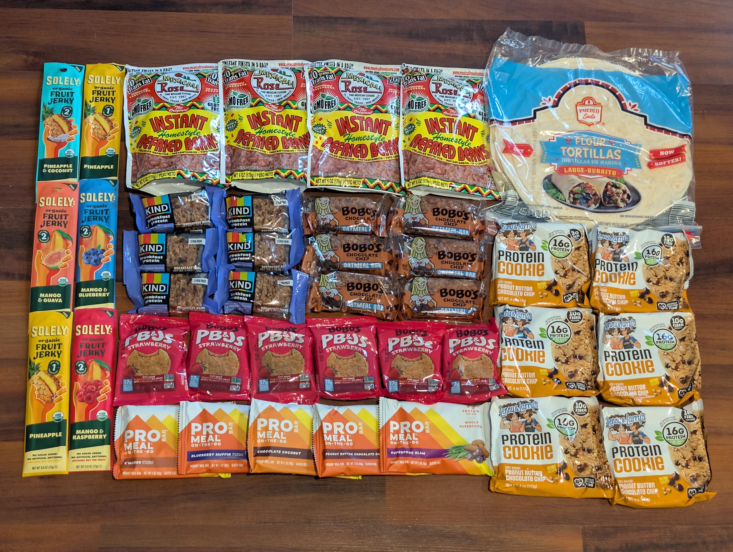
Resupplying food along the West Highland Way could not be any easier, considering the number of markets, honesty boxes, and restaurants in towns spread out every handful of miles. Despite this, I carried roughly enough food with me for the entire hike from the beginning, because I wanted to have my favorites on hand (Scottish candy lacks that Red #40 tang). A fine meal plan is to carry a day’s worth of snacks along the way, top it off at markets or honesty boxes as needed, and snag a plate (and a pint) at every restaurant.
Permits
No permits are required to hike the West Highland Way. If wild camping, there is only one region along Loch Lomond (Lochan Maoil Dhuinne at NoBo mile 26) where a camping permit must be obtained from this website 30 days in advance. Otherwise, wild camping is prohibited along Loch Lomond (NoBo miles 18-28). However, there are several commercial campgrounds along the loch that offer permit-free camping.
Lodging
Overnight stays at inns along the way must be booked several months in advance, especially during peak tourism months. The only lodging we booked was our final night on trail, at the Ben Nevis Inn. Additionally, we stayed at a hotel in Glasgow the night before starting the hike, and a hotel in Fort William the night after finishing.
Camping is logistically easier, cheaper, more flexible, and promises lots of suffering fun if there is any adverse weather. Many hostels and inns along the way offer free camping on the premises, or there are a few commercial campgrounds, or just wild camp anywhere on trail except along Loch Lomond.

Transportation
Glasgow is the closest major city to the trail, and where our group met up the day before starting the hike. Our red-eye flight from Pittsburgh went smoothly with just a single layover in Reykjavik. After about 11 hours of travel, we landed in the Glasgow Airport and took the 500 bus to Buchanan Street downtown, where we checked into the Z Hotel.
The following morning, we walked to Central Station in Glasgow and bought tickets for a ScotRail train to Milngavie for £5. The ride took about 20 minutes and dropped us off practically right next to the starting obelisk of the West Highland Way.
At the end of the trail in Fort William, the train and bus station is about a 10 minute walk through town. The cheapest and fastest way to return to Glasgow was a 3 hour Ember bus ride that costed £4 and operated every hour or so. The ScotRail train followed a slightly longer route and costed £36.
The trail crosses through several towns along the way that have bus stops. From Inverarnan (NoBo mile 41.5) heading north, every town is connected by a bus line.
I would not recommend shuttles, ride share, or renting a car for this trail, as the public transportation is straightforward, cheap, and does not need booked in advance. Emphasizing the last point, we did not pre-book anything other than our flights (a few months in advance) and the return bus trip from Fort William to Glasgow (a few hours in advance). It was easiest to simply buy tickets at the gate for the airport busses and trains.
Trip Report
9/6 – Day 0
After a measly 2 hours of sleep split between an airplane and a diner booth at the Reykjavik airport, my goals for the first evening in Glasgow were to focus on rest and avoid alcohol consumption. Once most of our group had arrived, we rendezvoused at The Scotia Bar and I was learning how to “split the G” on a pint of Guinness minutes later.
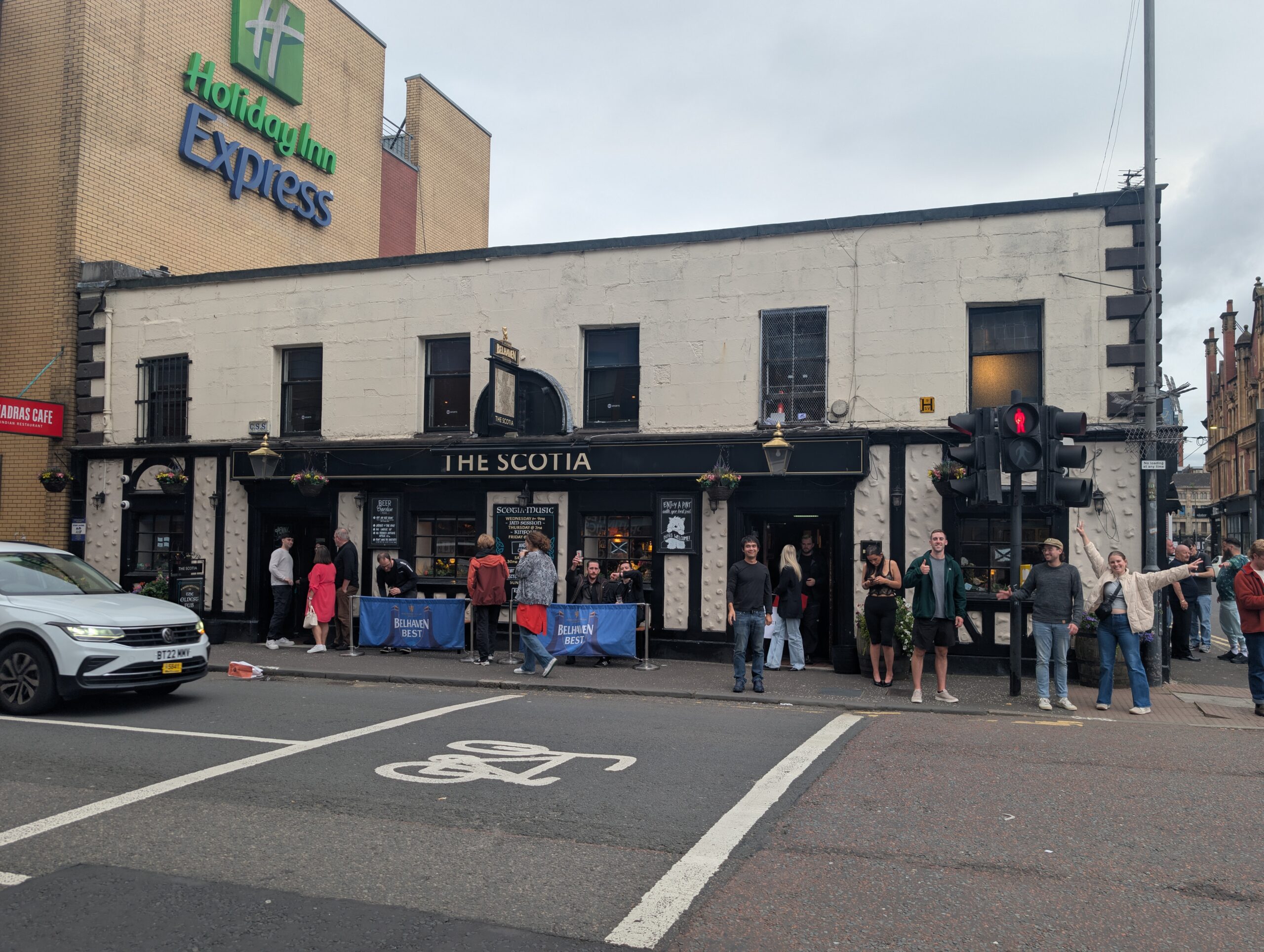
Our group was composed of friends (and friends of friends) from all over the world. The 8 of us represented 5 different U.S. states and 2 different countries. Johannes from Germany was the only new face for me, but some others were meeting multiple new people for the first time. As we stood in the cramped quarters of the oldest bar in Glasgow, I knew immediately that this was a rare and special occasion – one in which something similar may never happen again. I felt grateful to be surrounded by such an awesome group of people, and for that, many cheers! were in order.
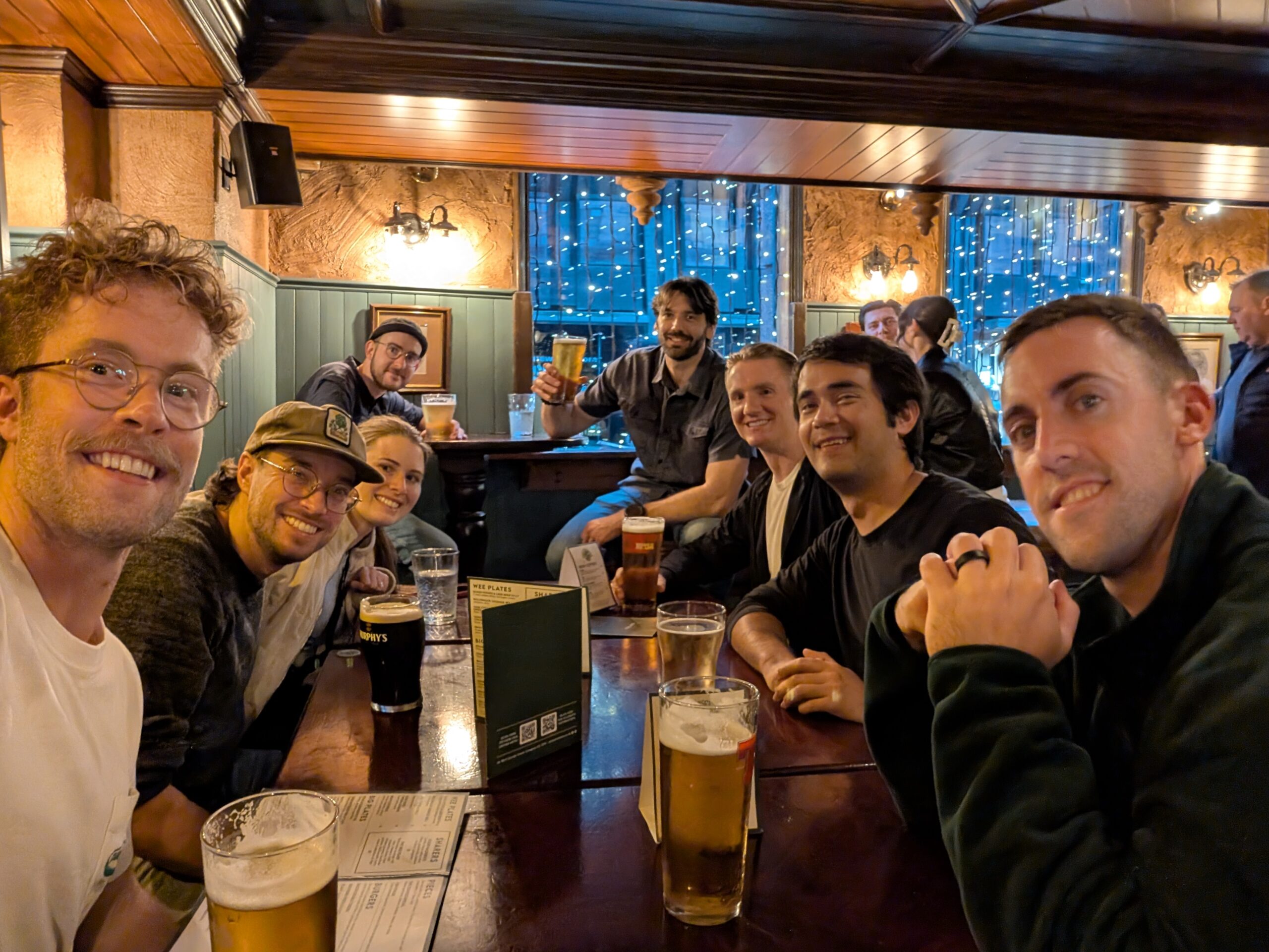
After a round or two, we migrated to Waxy O’Conners for dinner. This quirky pub was a labyrinth that stretched several floors deep. Even just leaving the table to find a restroom felt like embarking on a quest. It set the bar for what would become a dizzying week of pub-hopping and introduced us to some of this county’s odd cultural cuisine, such as haggis. The energy was palpable and everyone seemed thrilled to be in the Land of the Scots.
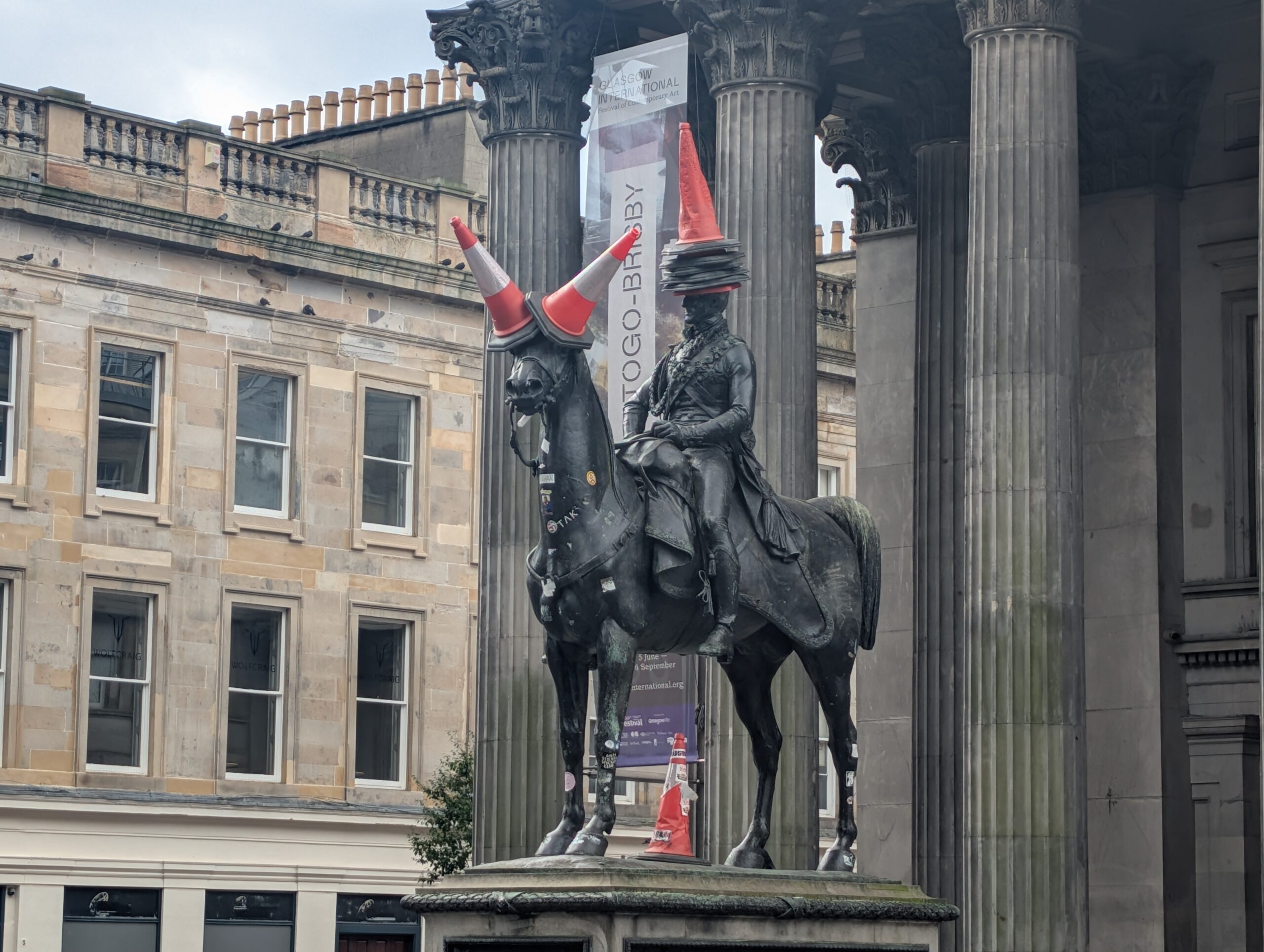
I found myself awake much later than anticipated. It was nearly 10:00pm when Dan challenged me to a ping-pong match in the common area of the Social Hub, where Sean was staying. However, excitement only kept the batteries charged for so long. Everyone was soon retiring to their respective hotels to finish packing their bags and to catch some Z’s before the long walk started bright and early the next morning.
9/6 – Day 1
21.2 miles from Milngavie to Millarochy Bay Campsite
Elevation Gain: +3921′ -4085′
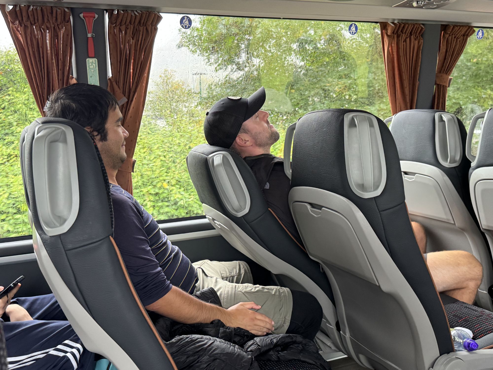
By 8:00am, our ragtag team of hikers regrouped in the Z Hotel lobby and was laboring down the Glasgow streets towards the Revolver Hostel to stow a few bags of non-hiking related luggage for the week. Afterwards, we grabbed coffee and pastries at Black Sheep on our way to Glasgow Central Station. The train ride went smoothly for seven of us. Amy, on the other hand, passed the time with frenetic visits to puke in the latrine – not the most encouraging start.

At this point, we had not broken the big news to everyone, and no one seemed to question why Amy was drinking Guinness 0.0 the previous night. Once the train deposited us at Milngavie Station, I decided to let everyone know that Amy and I were expecting a baby girl. Great, now let’s hike 100 miles!
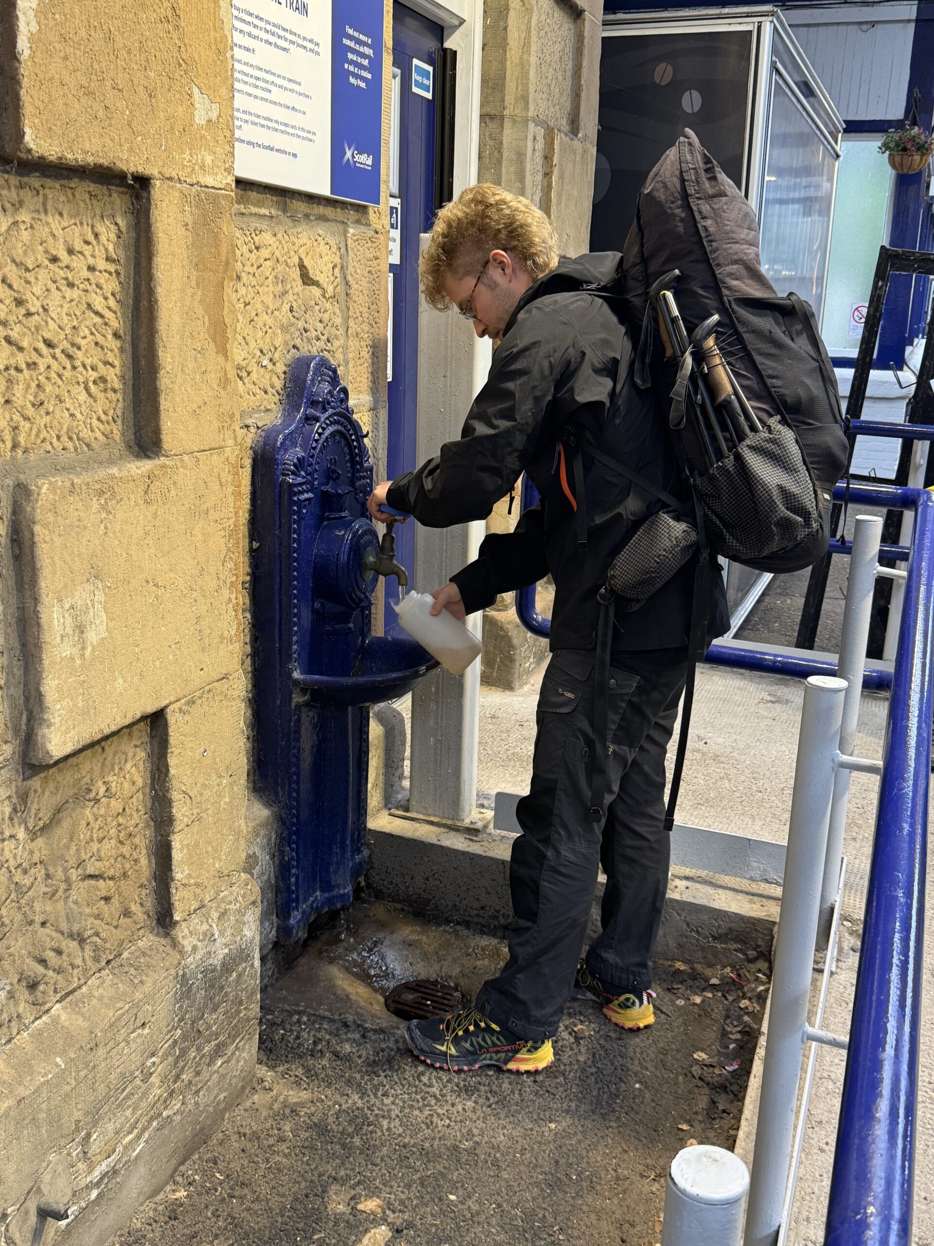
The train station had a faucet to top off our water bottles. Then we followed through a short tunnel and came upon the starting monument for the West Highland Way in the center of town. Big groups tend to move a little slower, and everyone split off to take care of some last minute chores: Isaiah bought a sodie, Dan went down the slide in the playground, Sean bought some snacks and returned to a man trying to rummage through his backpack. At length, we managed to congregate around the obelisk for a photo or two. Then at 10:02am, we set off northbound.
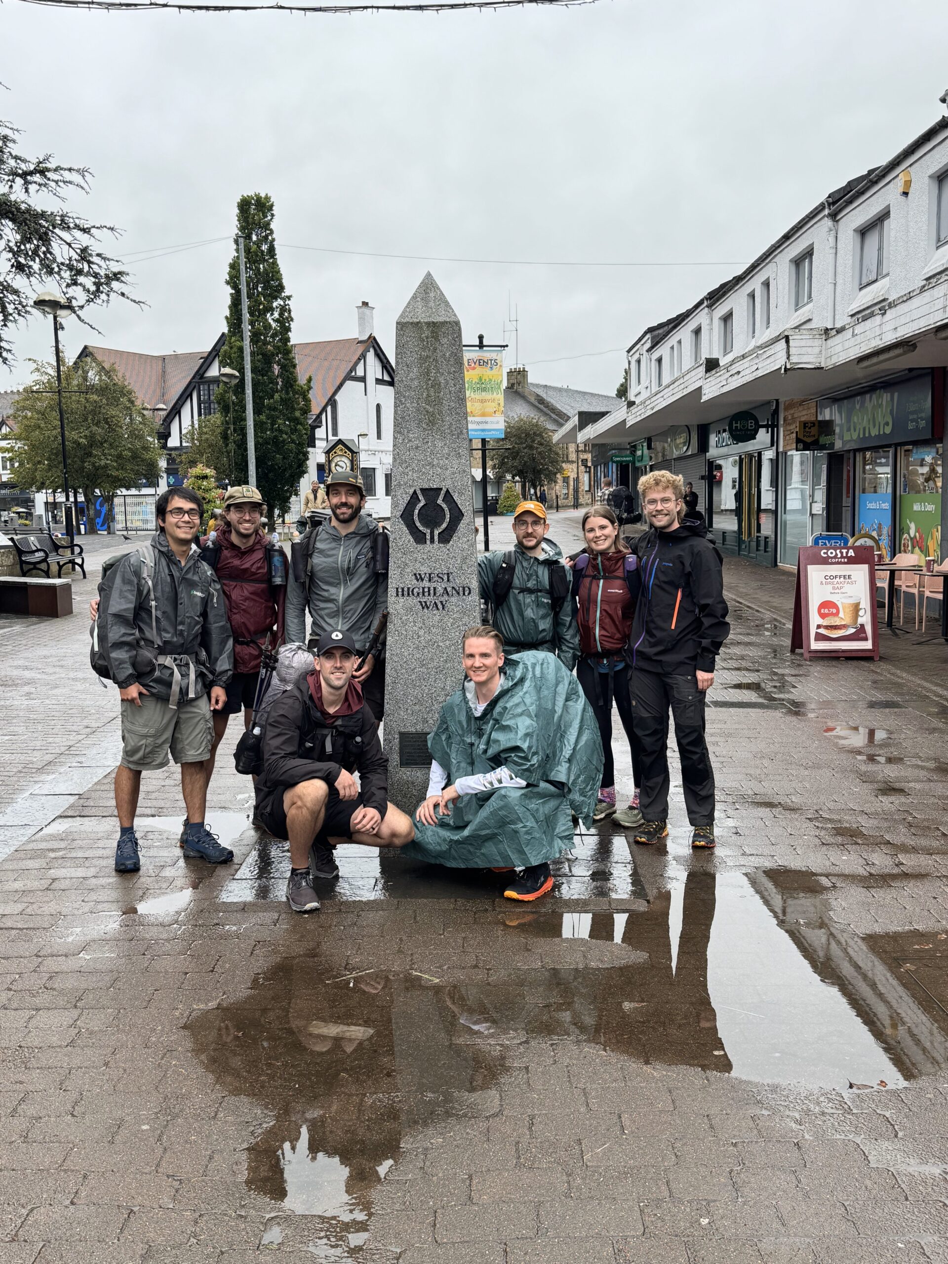
The first handful of miles felt like strolling through a city park. Still within spitting distance of Glasgow, the trail had an unmistakably urban atmosphere. It was tabletop flat, whether on dirt or pavement, and large puddles had already been formed from the previous week’s rain. The skies promised us that more was to come. As we put miles behind us, the path took us through progressively more rural landscapes. Sheep farms, grassy meadows, rounded hills, and the occasional lochan were our introductions to the Scottish highlands.
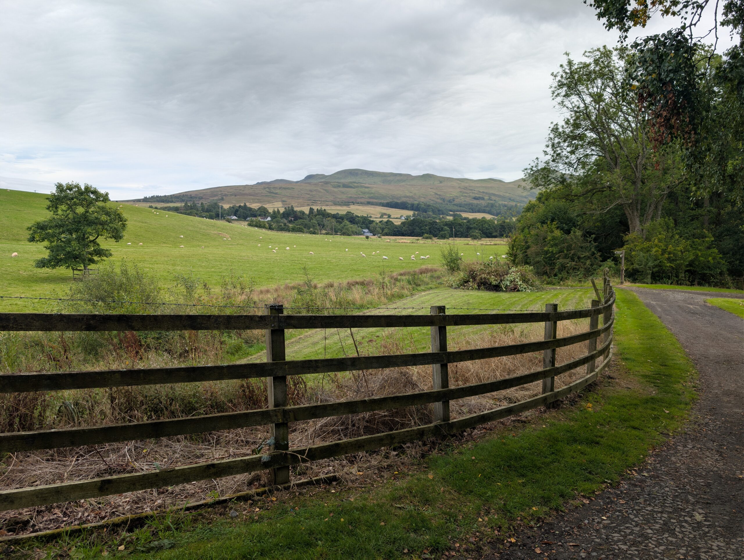
We traveled a whopping six miles before coming upon the Glengoyne Distillery. Beaten down to the point of exhaustion, the sign reading, “Highland Single Malt Scotch Whiskey”, was a beacon of hope for us weary travelers. We took a short spur trail through a tall grass field to reach the distillery, then opted for a group tasting. A knowledgeable employee brought us into a cozy, private room and presented each of us with three 25ml samples:
- Glengoyne 10 Years Old
- Glengoyne 15 Years Old
- Glengoyne White Oak
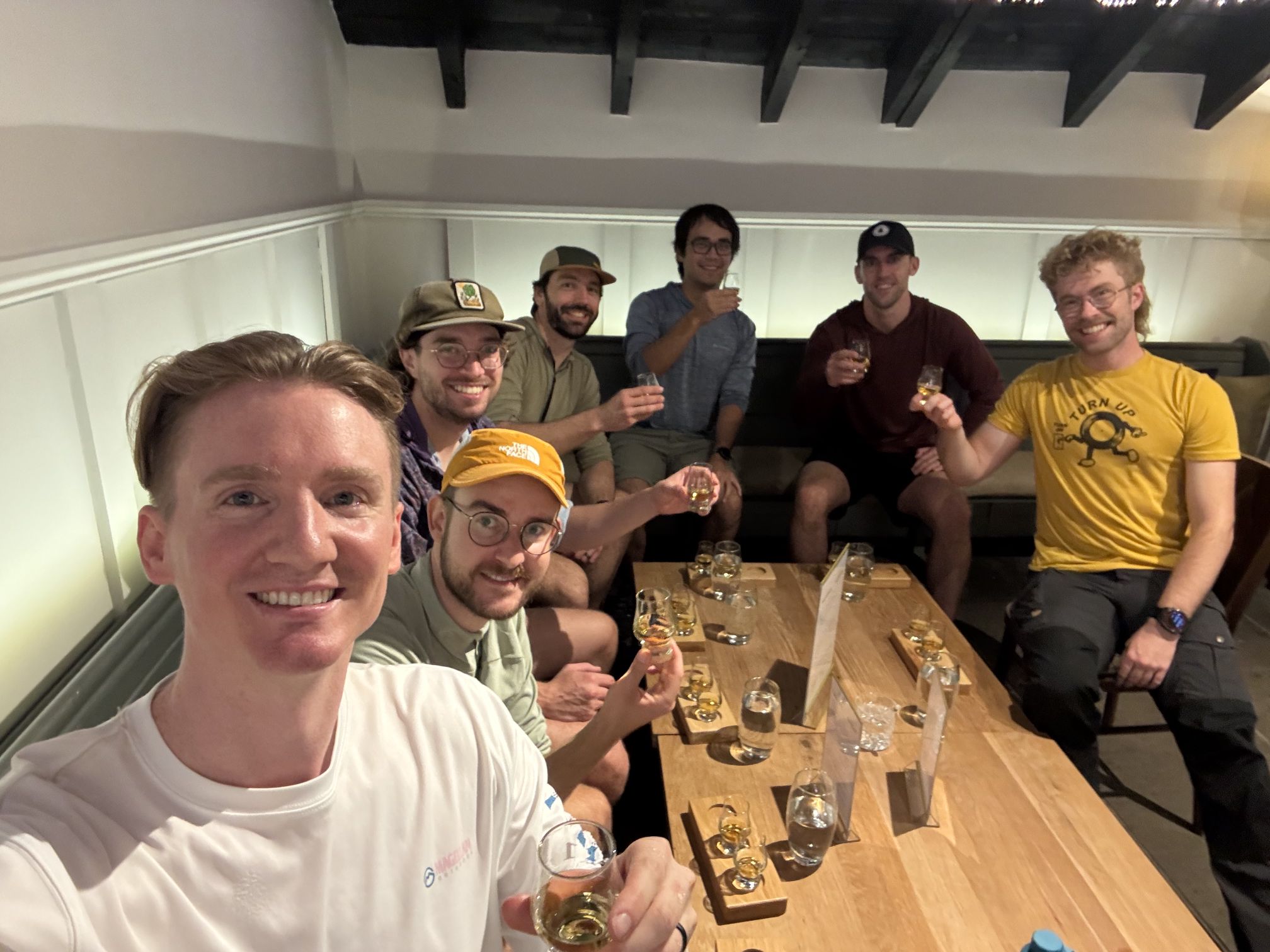
We quizzed one another on which notes we could pick out from the samples, such as White Oak’s alleged, “spiced apple pastry dusted with icing sugar”. None of us were necessarily scotch people, but the drinks were very much enjoyable. The group consensus settled on Glengoyne 15 as the favorite and I bought a small bottle to pack out. On the way back to trail, I wet my whistle then handed the bottle to Dan. He proceeded to deplete nearly a third of the bottle in one fell swoop, earning him the trail name, Swig.
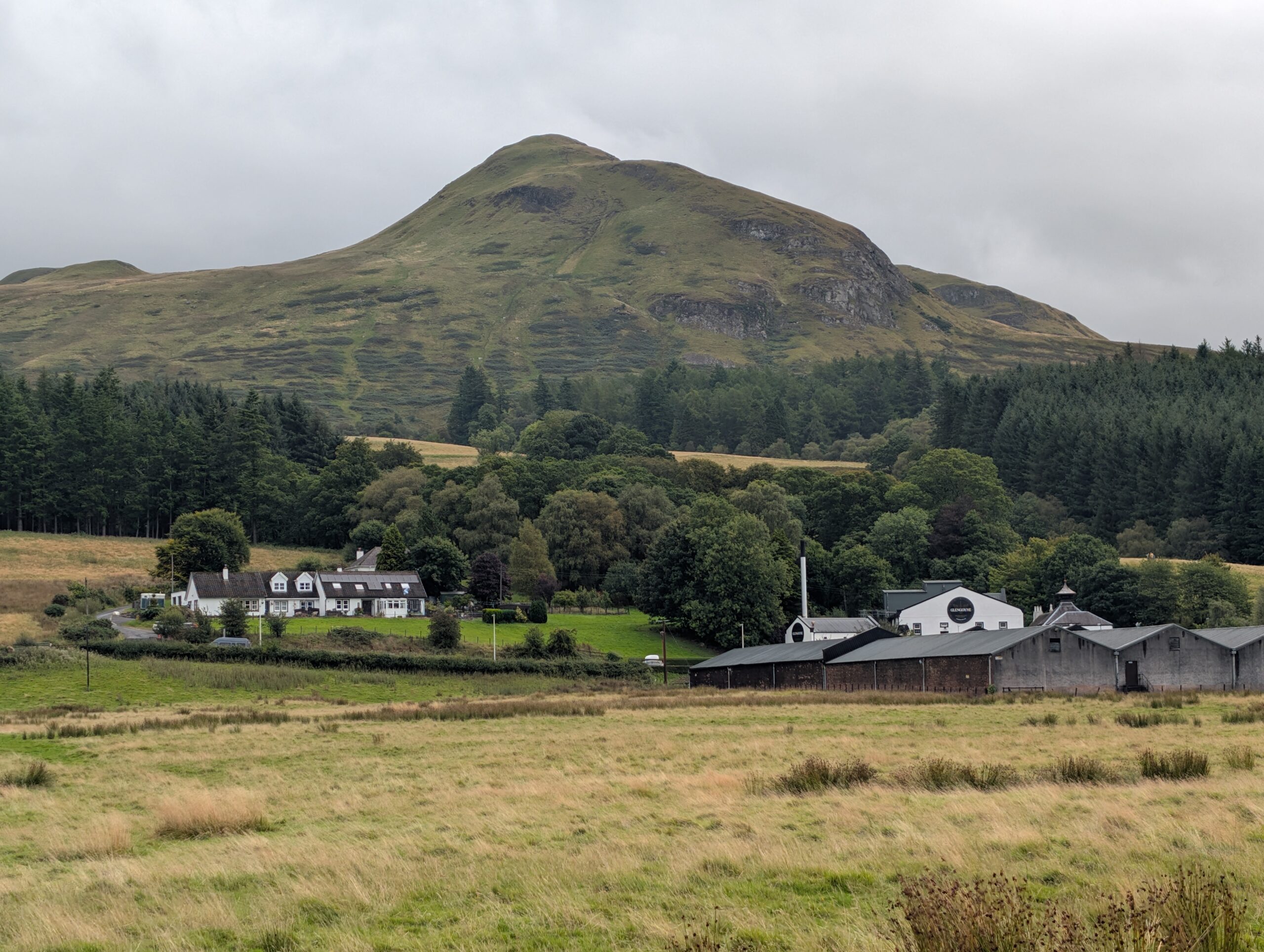
Back to business, we continued hiking on a gravel road that brought us to two consecutive markets, one of which had an enclosure with a pregnant Shetland pony. I gave Amy a gummy from a pack of Haribo Supermix that I bought, which resulted in her gagging, spitting it out, and accidentally grabbing a barb wire fence lining the trail. I performed some first aid, then Tim dubbed her new trail name to be Barb. All things considered, Barb reported feeling pretty good today. She stayed positive and, despite my initial concerns, seemed to make easy work of the mileage.
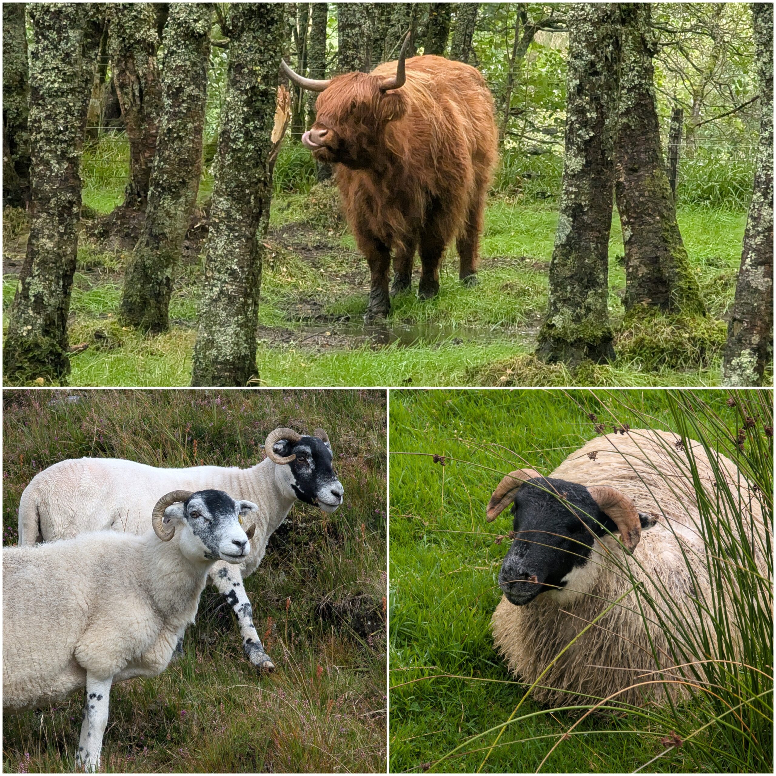
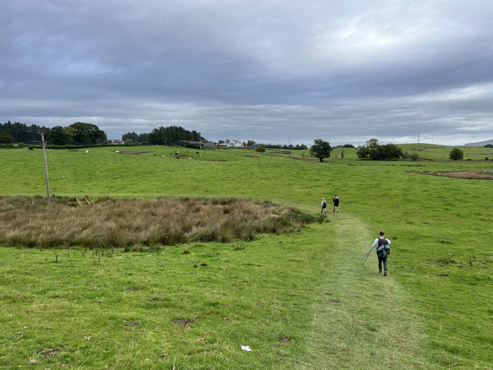
We hiked for a long while without a break, traversing more rolling terrain and a seemingly infinite number of sheep. On a particularly Shire-esque hill overlooking a farm, we took a group break and admired the unique situation we found ourselves in. This was also a good opportunity to bestow a few more trail names. I became Girl Dad. Tim became Porthole due to his infatuation with a round window in his hotel room the previous night. Sean became Spare Change due to a shocking photograph captured of him in Milngavie. The leading name for Alexander was Turtle, due to his classic look of a green poncho draped over his backpack, though I still mostly referred to him by his initials, AVR.
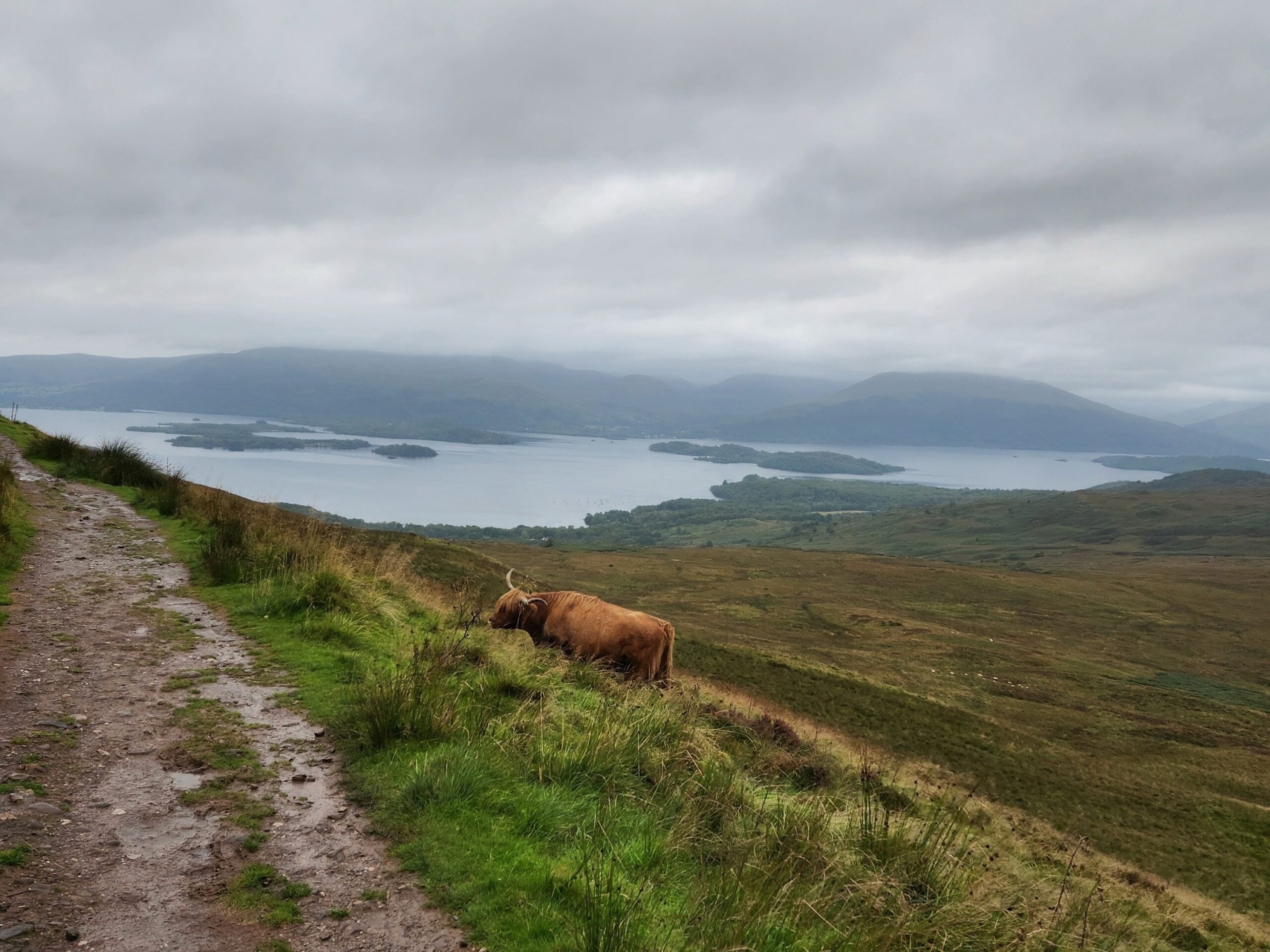
The only true challenge of the day was the upcoming climb of Conic Hill. The sprawling waters of Loch Lomond were visible as we powered uphill, treating us to the best views of the trail thus far. A few of us played ranking games to pass the time. Shaggy highland cows roamed freely along the hillside. Before long, we conquered Conic Hill and stood on its modest summit, getting whipped with wind beneath the moody skies. There was no reason to stick around long, so we began descending a lengthy, rock staircase into the town of Balhama.
A little extra motivation was the prospect of a hot meal at the Oak Tree Inn. The 1.1x speed boost had us there in no time at all. It was getting late, but no one cared much about that with a pint in hand. I enjoyed a Thai-spiced veggie burger and had to promise a random Scottish woman that I would take good care of my pregnant wife, Barb. She also said something about the highland cows either being aggressive or fascist, I could not be sure. Scottish accents are wicked hard to understand.
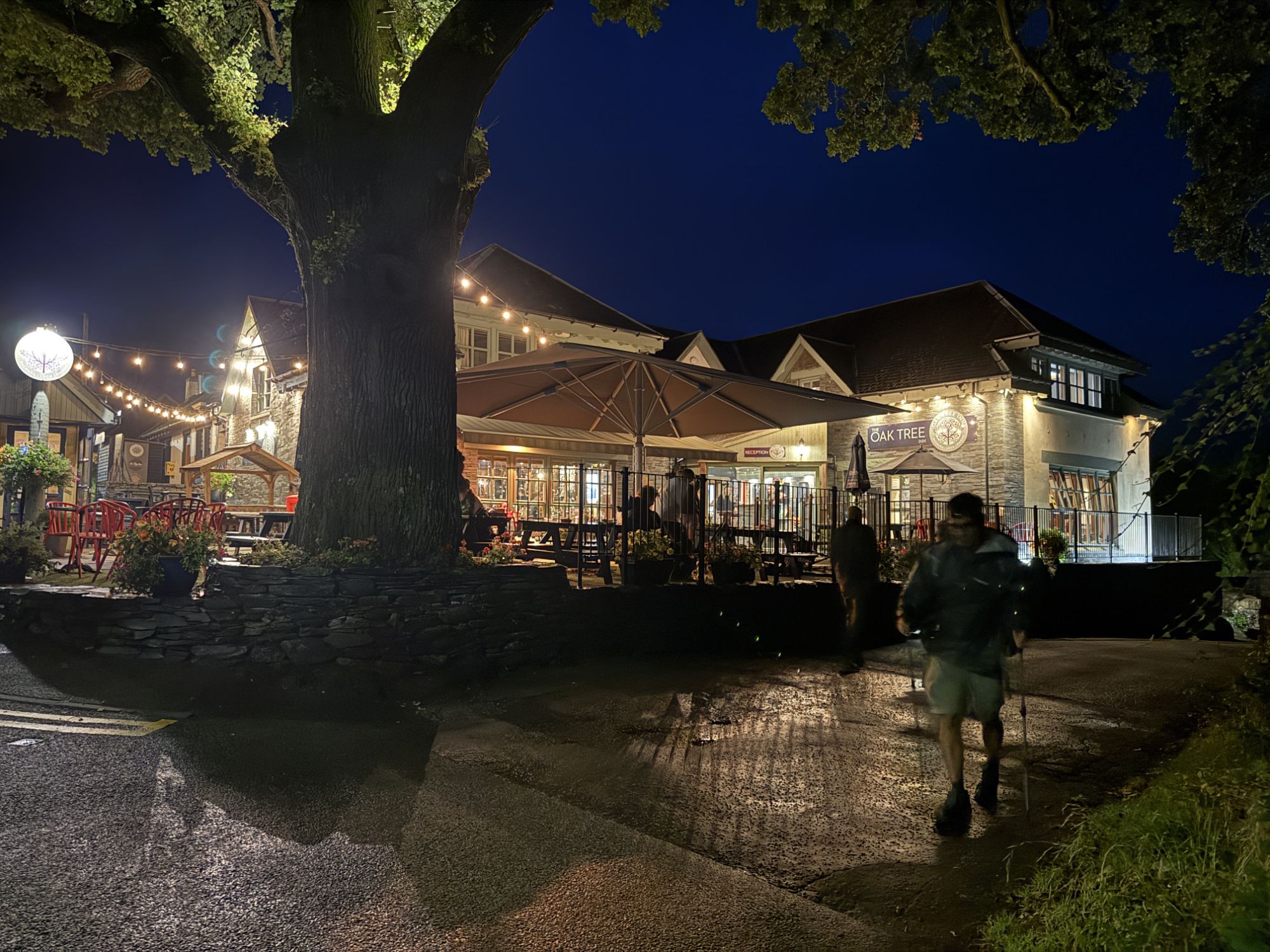
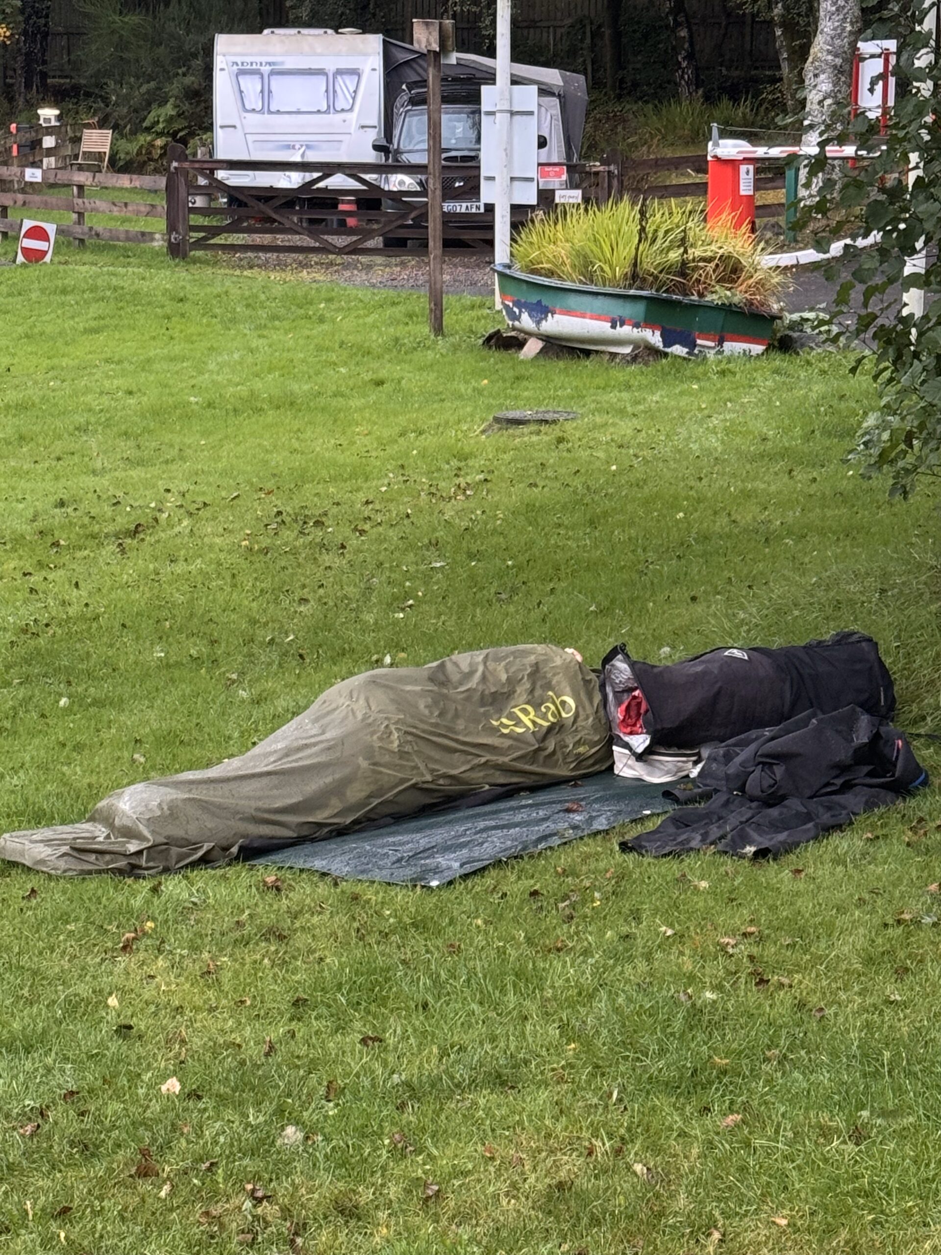
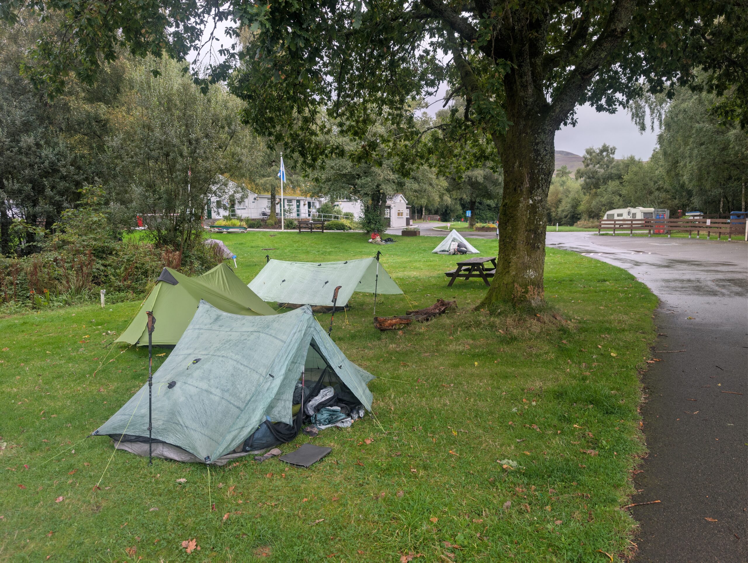
Heavy rain started just as soon as we left to hike the final two miles in the dark. The trail approached the shores of the loch and we followed a wooded path to reach Milarrochy Bay Campsite. A few dozen tents were already pitched in the backpacking area. We added five more, along with Porthole’s tarp and Spare Change’s bivvy, and hunkered down for a rainy first night.
9/7 – Day 2
17.4 miles from Milarrochy Bay Campsite to Doune Bothy
Elevation Gain: +3602′ -3845′
There was a power outage in the morning, something I never expected would affect me during a camping trip. The campground bathrooms, showers, laundry, and, to our benefit, the payment office were closed. Interestingly, unlike clenched thru-hikers on American trails, the majority of backpackers who camped with us were still in their tents even as we hiked out after 9:00am. A bird landed on Isaiah’s trekking pole as we were getting ready to leave, and thus he became Snow White.
Another commercial campsite, Cashel, was just a mile further ahead. They were dealing with the same planned power outage but had a generator running to keep their camp store open. We could buy candy and chips, but hot coffee was on the chopping block. We were really roughing it now.
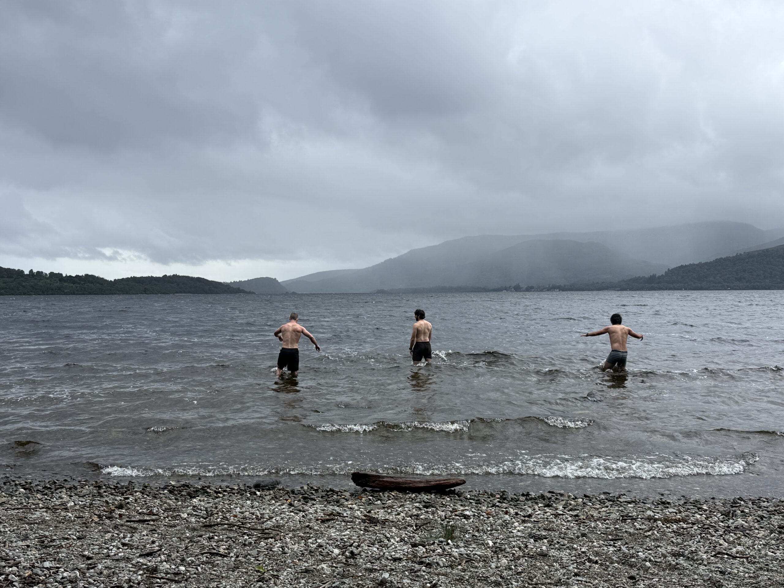
We left the campgrounds to hike along the shore of Loch Lomond. The West Highland Way would stick faithfully to its eastern shore for the next twenty miles. Rain was imminent, so I decided it was the perfect time to bag the loch. Swig and Snow White were easily convinced to wade out with me into the freezing waters at the next rocky beach we came across. Pretty much as soon as we dunked our heads under water, the skies unleashed a spitting rain that would more or less continue the rest of the day.
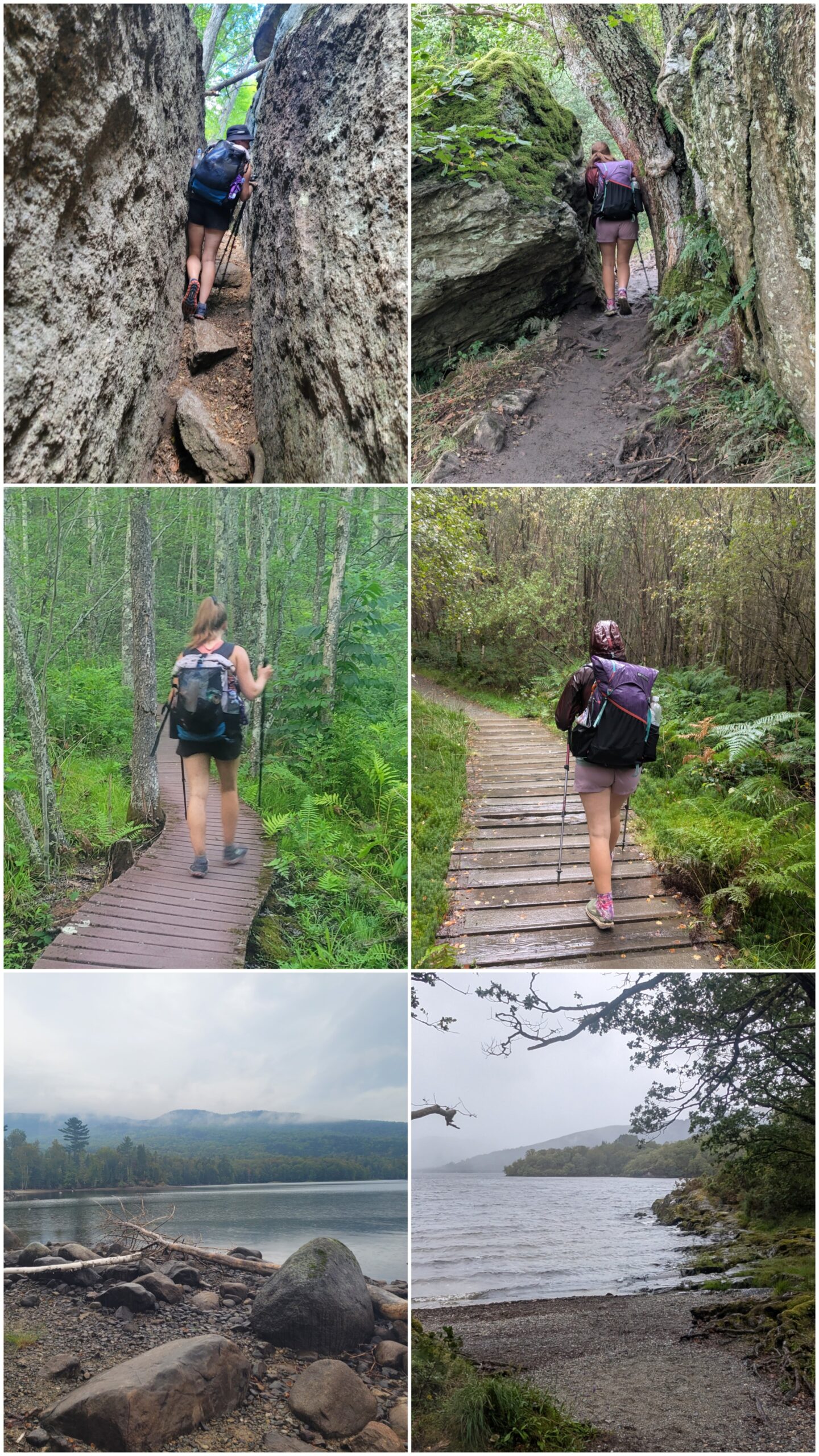
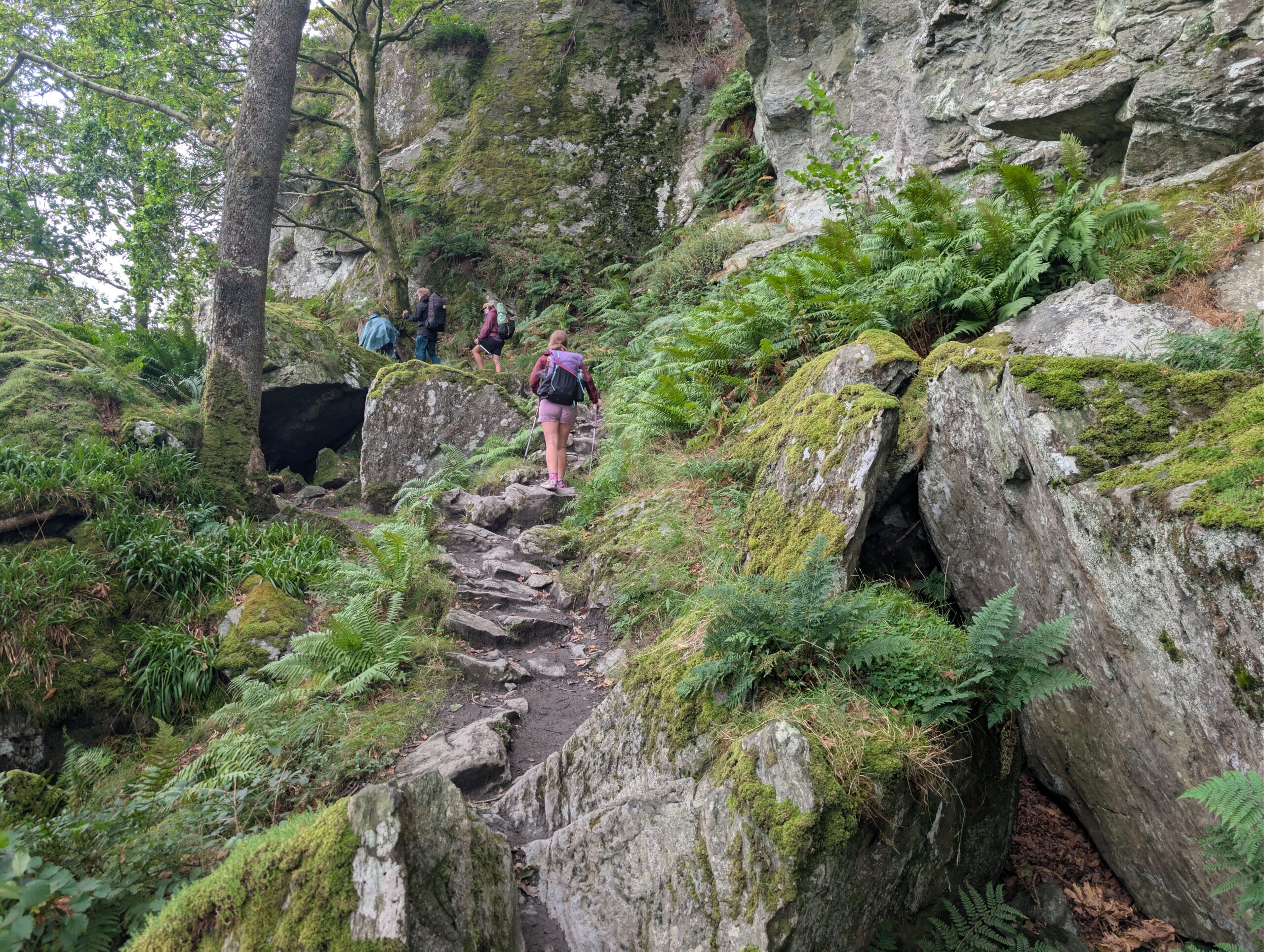
This section of trail had a reputation for being notoriously rugged. One FarOut commenter compared the terrain to the Appalachian Trail. While the elevation change was tame in comparison, the rocks, roots, pebbled lake, and indeed even the lush, fern-covered forest was reminiscent of our home state of Pennsylvania. In fact, we were technically hiking through the very same mountain range, once known as the Pangea Central Mountain Range millions of years before Earth’s continents split.
We took refuge from the rain at the Clansman Pub after completing six miles on the day. Several bowls of soup were slurped sloppily. As our group sat chatting with one another, a beam of sunshine shone through the window and there were a few moments of serenity to be found on the patio. The weird thing about taking a break indoors is that you almost prefer it to keep raining so you feel justified. As soon as the weather cleared up, we started saddling up our packs. Six of us were standing outside waiting for the others, when all of a sudden, the bartender burst through the door and demanded we return the pint glass that we so callously stole. We told him we had no idea what he was talking about. Turns out Spare Change just wanted to enjoy his pint on the pot, and there ain’t nothing wrong with that. Hopefully the grumpy bartender understood.
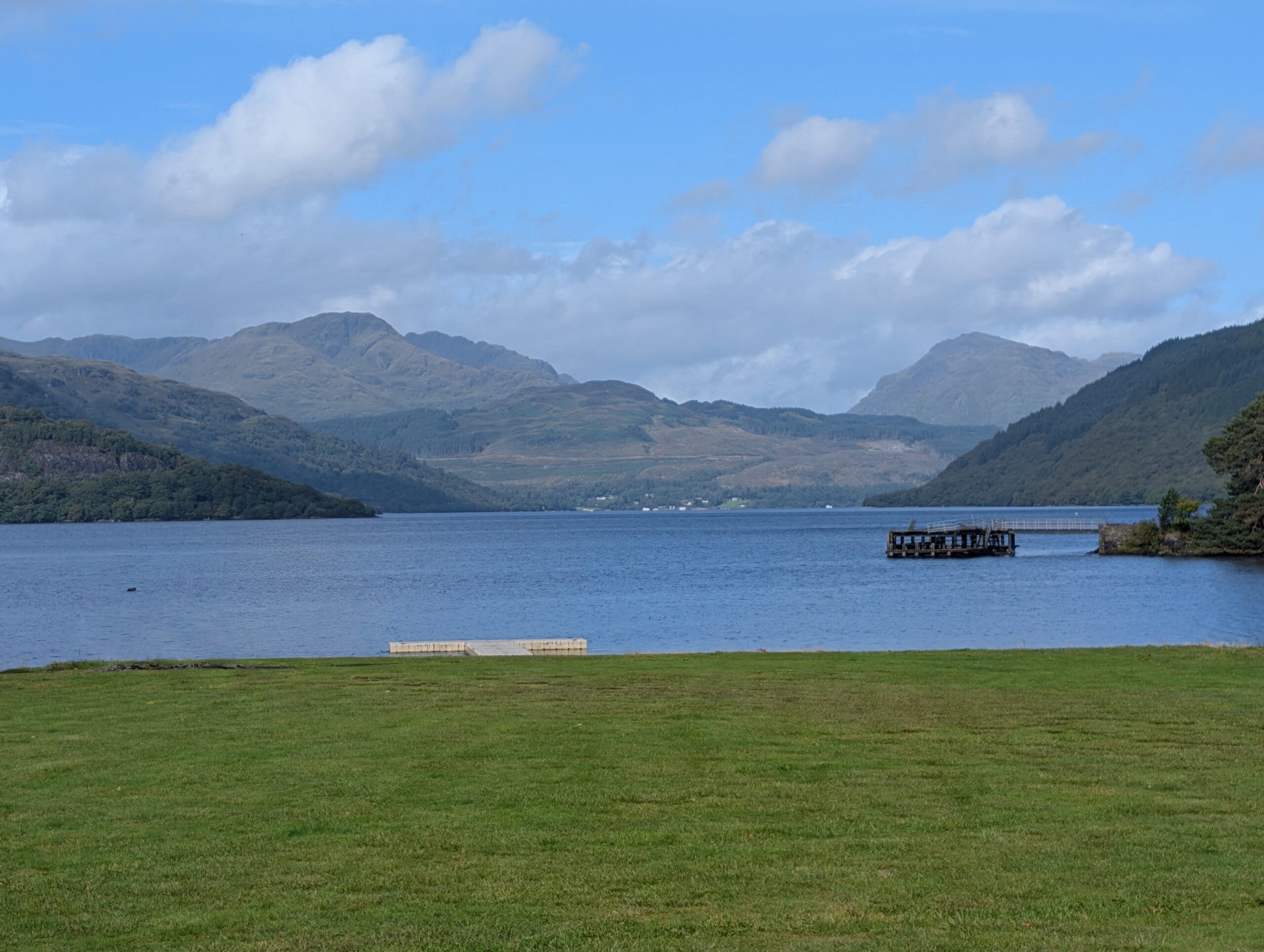
The sunshine did not last long and the gloomy skies moved right back in after lunch. At this point, we were about halfway along Loch Lomond. The trail diverged for a few miles into a low route along the lake shore and a high route route that connected to a flat road. I personally did not even see the intersection and most of the group continued on the low route, which proved to be somewhat technical and slow-going. Spare Change was bringing up the rear and took the much smoother high route, passing everybody in the process. This resulted in a situation where both parties were, at one point, waiting for each other, and a confusing reunion when we eventually caught up to him.
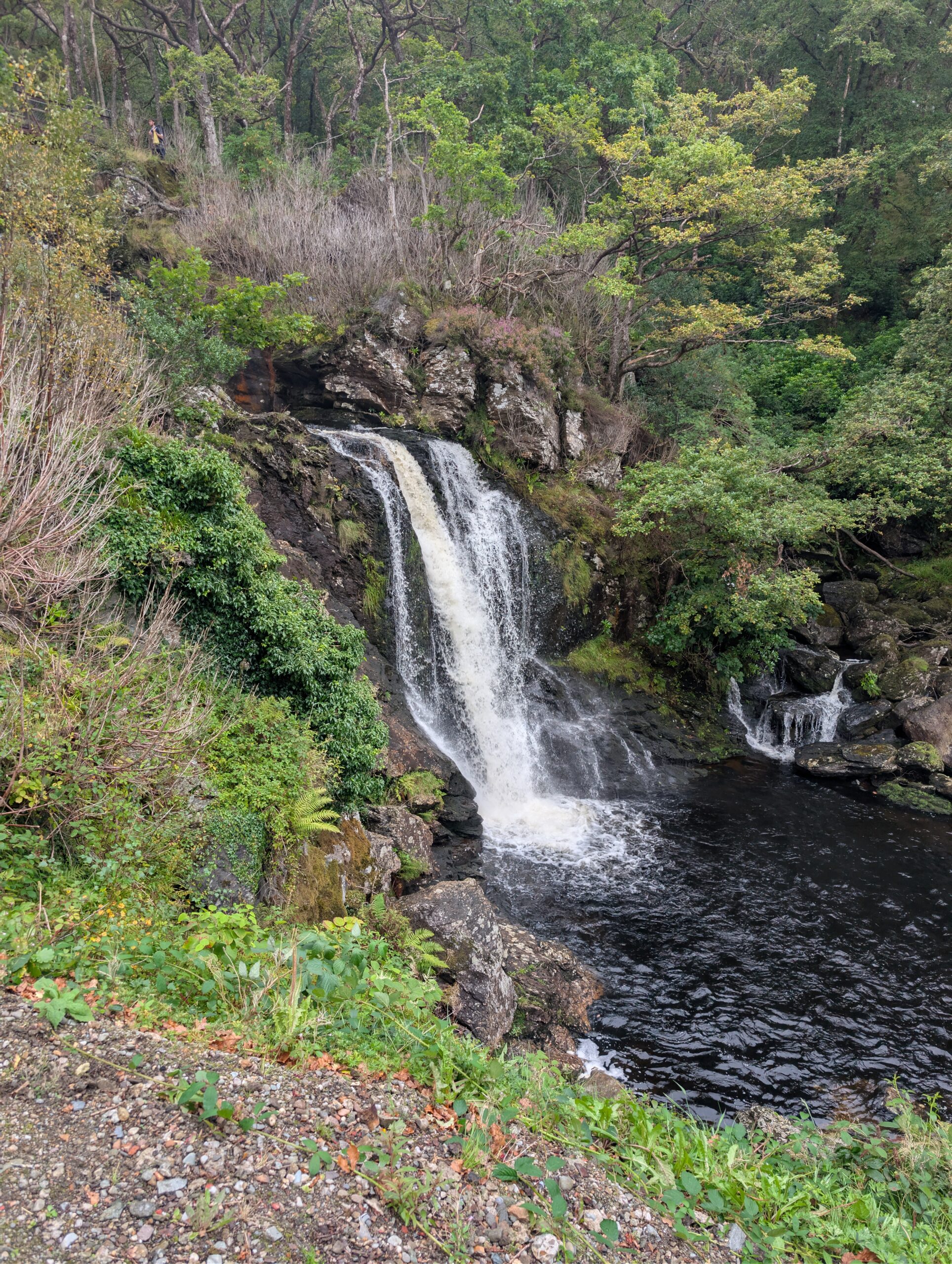
There were plenty of cascading streams flowing across the trail and some rock-hopping required to keep our damp shoes from getting soaked. To our left as we hiked, we caught regular views of Loch Lomond and its mountainous backdrop. We crossed a footbridge suspended above two separate 16′ falls crashing over Inversnaid. Then, we descended some stairs to the Inversnaid Hotel.
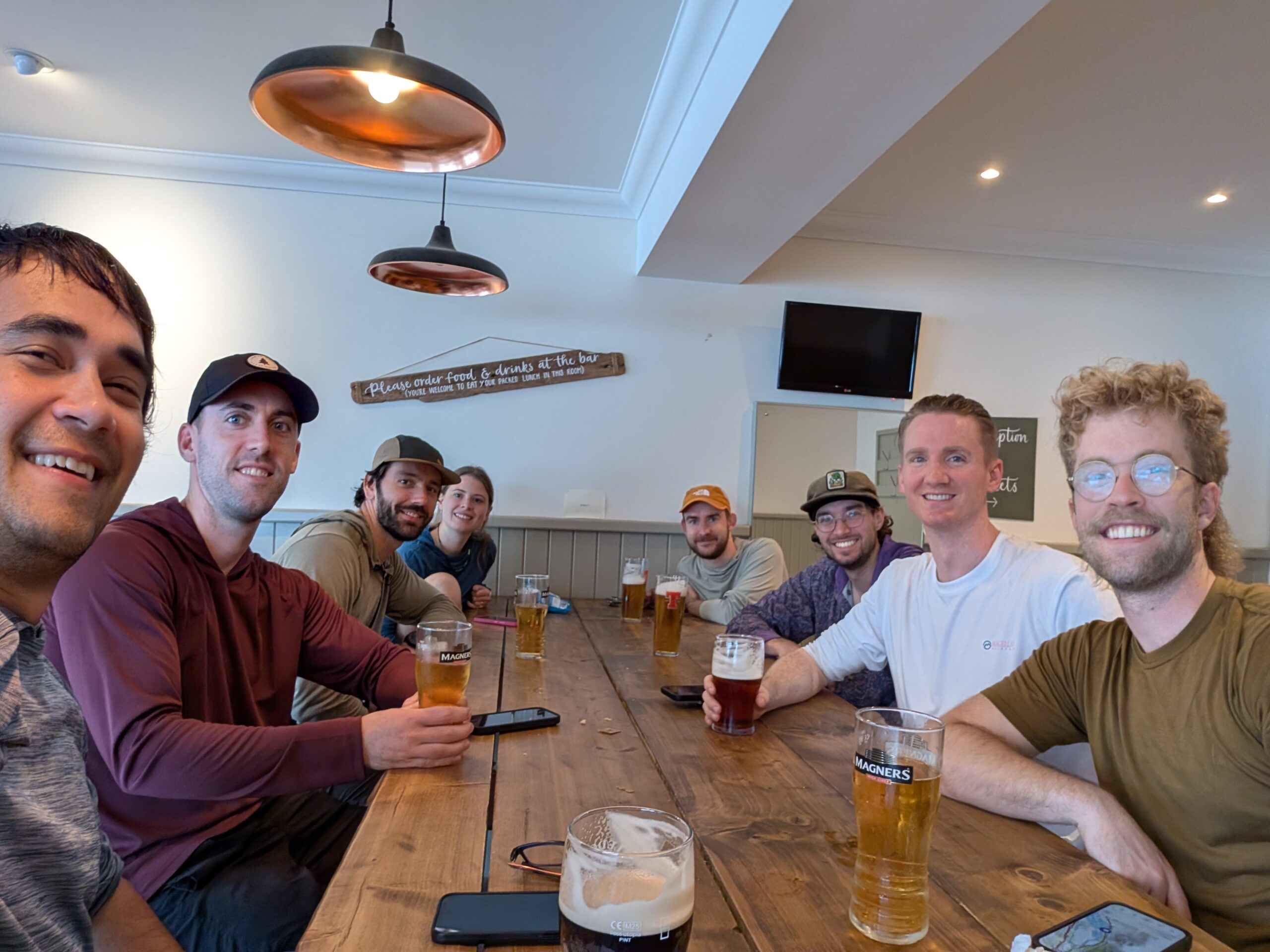
The hotel required us to remove our shoes to avoid mucking up the carpet (not that our socks were much cleaner). Our group debated the tantalizing prospect of hailing a water taxi to the north side of the loch, but ultimately we just kept hiking once it turned 5:00pm. Our stretch goal was to make it to the town of Inverarnan, but the 3 R’s (rocks, roots, and rain) throttled our pace.
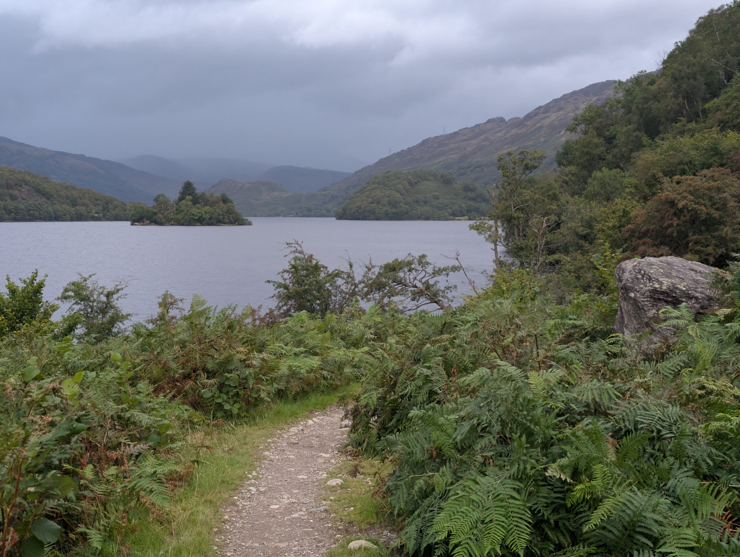
A boulder field marked Rob Roy’s Cave was the supposed hideaway of the Highland Hero (basically the Scottish Robin Hood). It was a unique spot, but it was a shame to find toilet paper strewn carelessly among the rocks. This was a recurring problem along the entire trail; too many hikers and not nearly enough education on the principles of Leave No Trace.
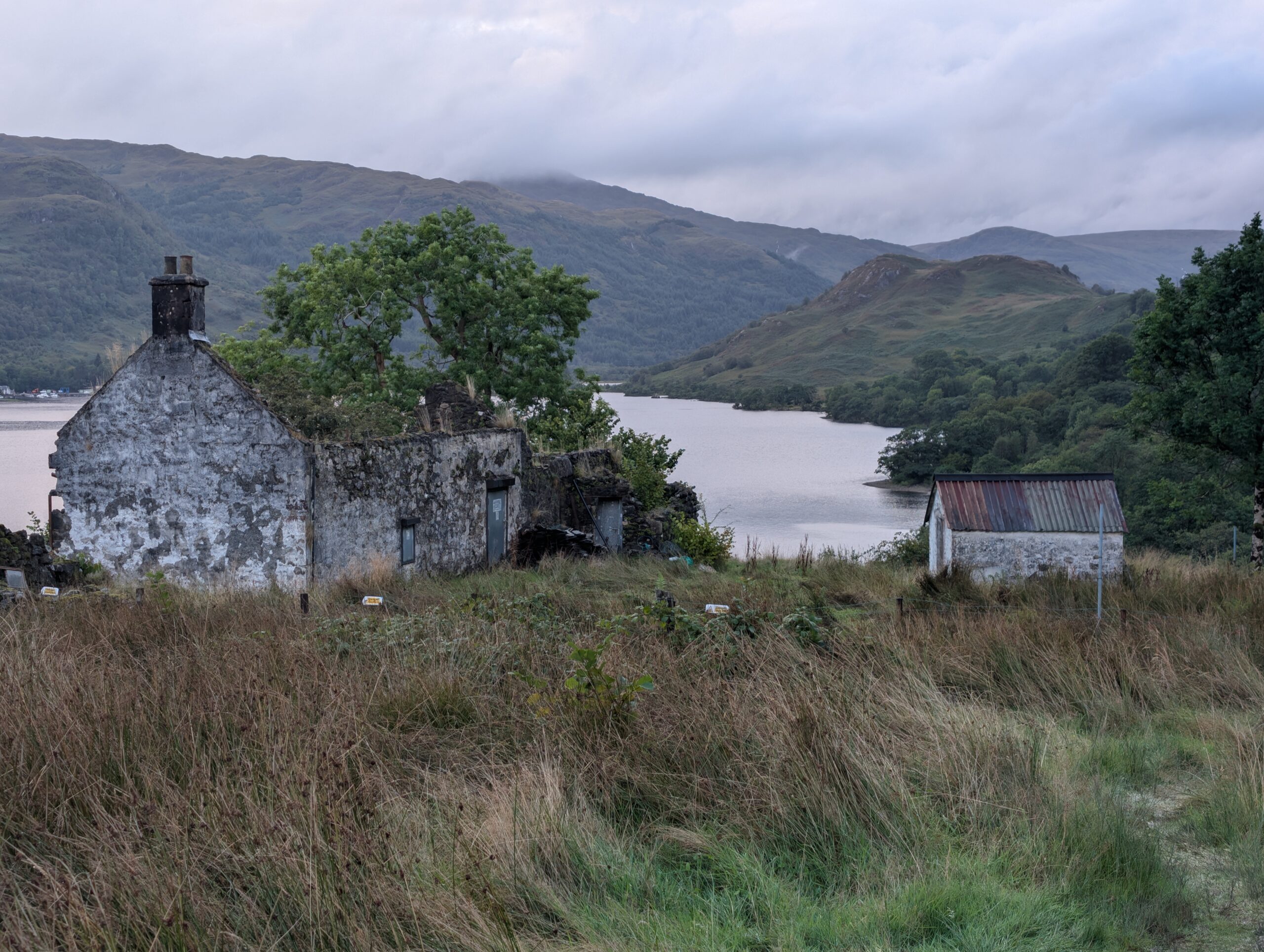
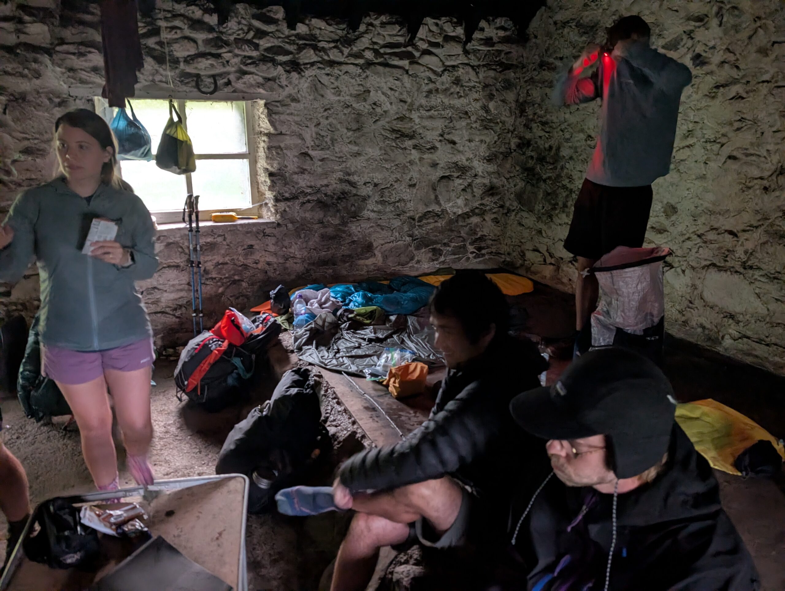
The misty rainfall grew heavier during the final miles of the day. We sloshed along the loch shore to find Doune Bothy. This was a well-constructed stone shelter with a non-leaking roof and a door that actually latched. The interior featured a large, elevated platform that could fit 6+ sleeping pads, along with two smaller platforms, a fireplace, and a few dilapidated tables.
Our small army chose to call this bothy home for the night, sharing it with three other hikers who also preferred loud snoring over wet clothes. We cooked dinner using headlamps. I burnt refried beans in my pot. We passed the bottle of Glengoyne around the room to warm up. It was dark, musty, filthy, but dry. There was not a single place I would rather be as I fell asleep listening to the pitter-patter of rain on the roof.
9/8 – Day 3
21.7 miles from Doune Bothy to Bridge of the Orchy
Elevation Gain: +4075′ -3878′
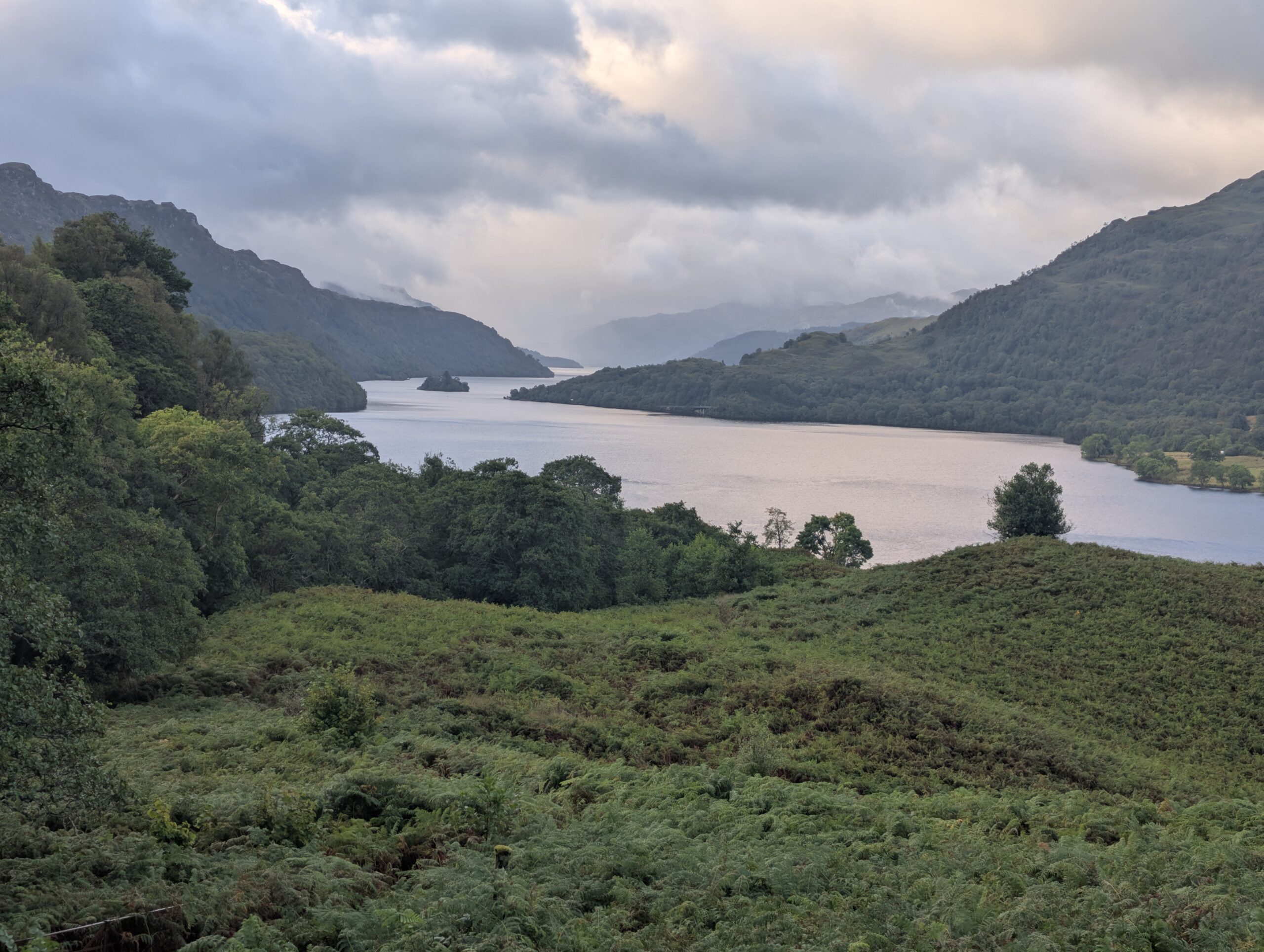
I slept soundly to the symphony of undiagnosed sleep apnea within the Doune Bothy that night. I could sense that it was pouring when I first woke up, so I rolled over. At 7:30am when most of the group was packed and leaving the shelter, it was still raining but it was lighter, so that was nice. Today, we finally bid Loch Lomond adieu. After climbing a bit further up the hillside, we were treated to one last epic view of the water.
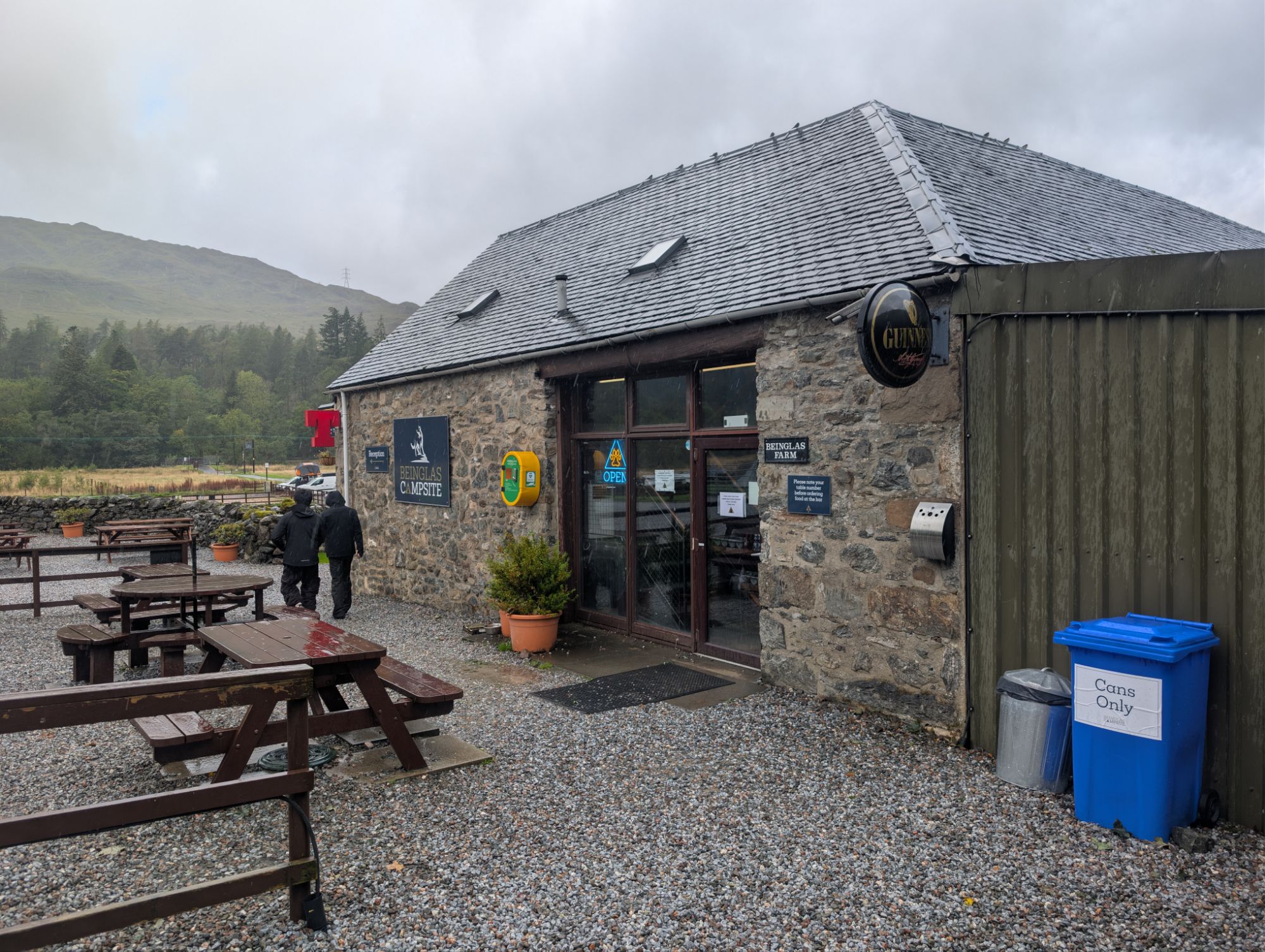
It took just over an hour to navigate the three remaining miles to Inverarnan. It seemed everyone and their mothers was camped at Beinglas Campsite, and the small cafe on site was bustling. We sat at a table in the loft, charged our electronics, and took advantage of unlimited coffee refills. Acoustic covers of pop music played on the speakers. Breakfast was pretty good, and a huge morale boost contrasting the wet blanket of a weather forecast. Before we left, Barb bought a Beinglas Campsite hat to keep her rain jacket hood out of her eyes.
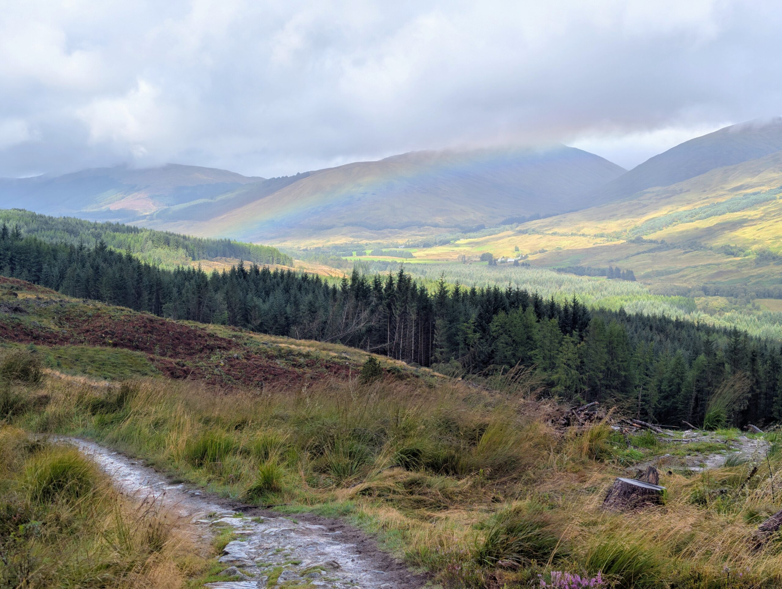
Thus far, our group had more or less hiked together as a unit. Of course, pacing is highly personal, as is how much patience one has when for waiting for others to get ready. As the hike progressed, we fractured into smaller hiking groups and reorganized in town. Swig, Porthole, Snow White, Johnny, and AVR started ahead, Barb and me followed a fair distance behind, and Spare Change preferred the caboose. Consequently, we likely all had different experiences and views of the highlands. Rain clouds drifted in and out across the landscape, swelling then contracting. The sun might pop out for a minute and vanish the next. A vibrant rainbow stretched low across the countryside. The weather today embodied the unpredictable Scottish Highland conditions I expected.
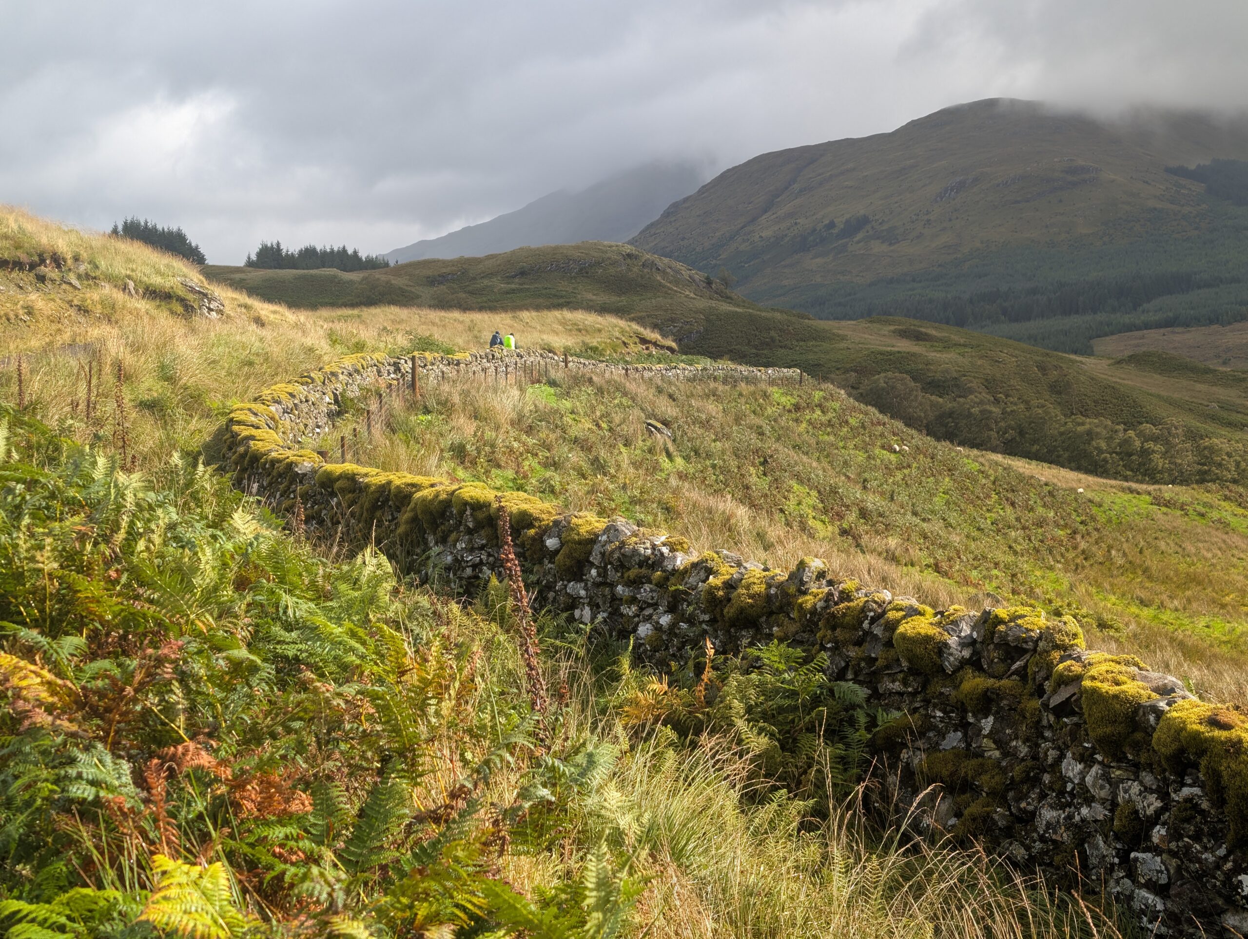
The trail followed the remains of a mossy, stone brick wall. Unbothered sheep roamed the surrounding pastures. There were patches of dense evergreen that indicated these highlands were once covered in a vast, ancient forest. Human activity, in the name of logging or clearing land for farming, turned the Caledonian Forest into the barren hills we associate Scotland with today.
Barb and I descended a hill into one of these tree patches. We had hiked over seven miles without a break and failed to catch the speedsters ahead of us. We took a break near a footbridge crossing a tributary of the River Fillan. Spare Change rolled up from behind and the three of us had a nice conversation as we continued moving northwest along the river.
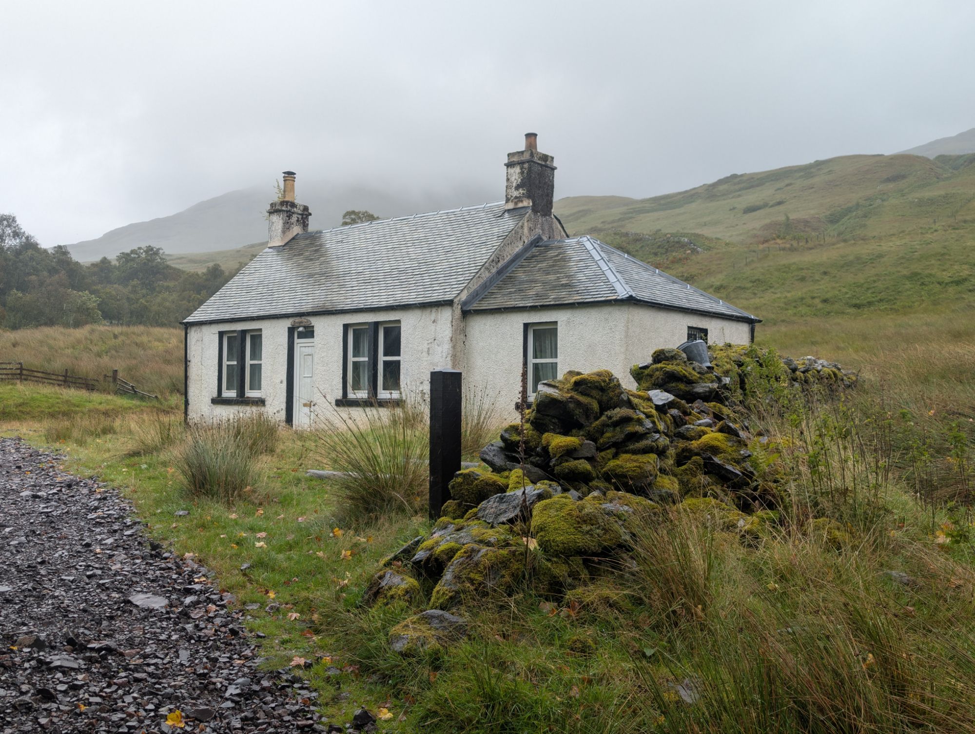
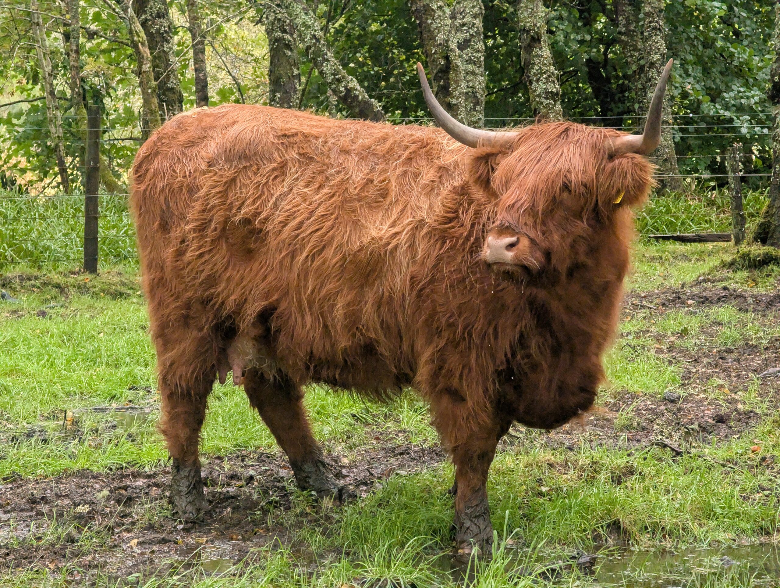
Several interesting sites proceeded, including the remains of St. Fillan’s Priory dating back to the 13th century, a graveyard that was likely just as old, and an enclosure of adorable, fluffy highland cows. We caught up with the others and formulated a plan to reach the town of Tyndrum for lunch, just a few quick miles ahead. An otherwise nondescript pond had an interpretive sign labeling it the “Lochan of the Lost Sword”, into which Robert the Bruce’s long-sword was thrown into after his defeat in the battle of Dalrigh. Legend says it is still there to this day. Had it not been so cold and windy, I would have considered dedicating at least ten minutes to search.
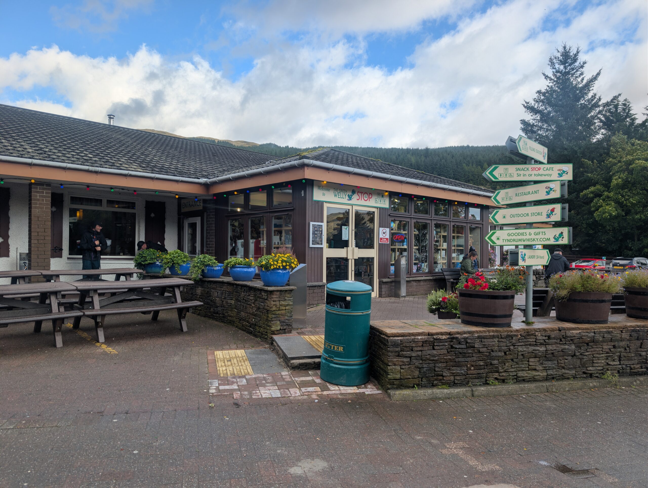
We reached Tyndrum and made a beeline to the Ben Lui Restaurant. The menu was diverse, with the Indian food punching well above its weight class. At least half of the group reported that their legs were feeling the brunt of traveling over 50 miles without much of a warm up. We hobbled around the restaurant like nursing home occupants. However after the meal, everyone seemed to catch their second wind. Before leaving town, we pursued the Green Welly Stop, a collection of interesting souvenir and outdoor equipment shops. At 4:30pm, our group hiked out with the intention of reaching Bridge of the Orchy for our third hot meal of the day.
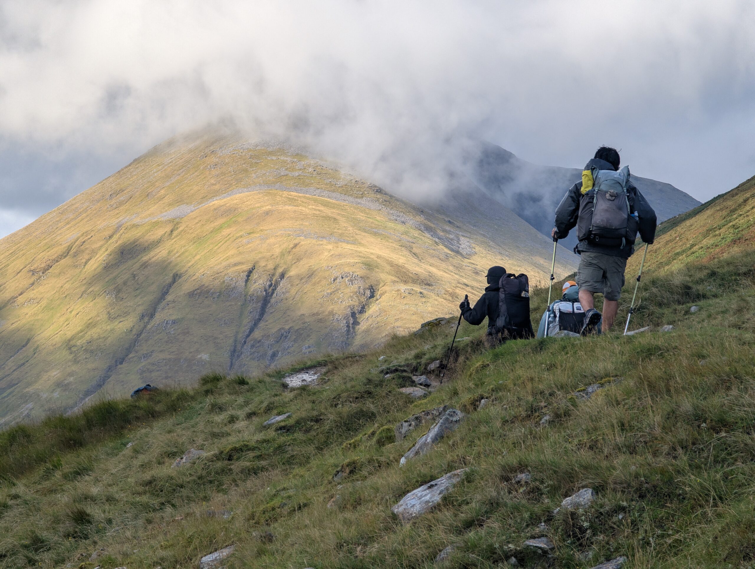
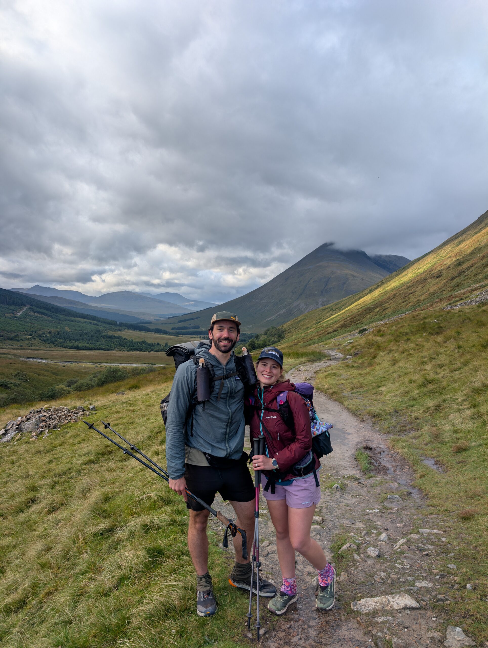
The section north of Tyndrum was absolutely stunning. The towering peak of Beinn Dorain set the backdrop to rolling meadows full of grazing sheep or the occasional cottage. Barb made a pit stop to deposit her lunch on the side of the trail, but she bounced back. By 7:00pm, we were walking up to the Bridge of Orchy. Named after a particularly scenic stone bridge, this was actually a small town with residential homes, a community hall, and a hotel.
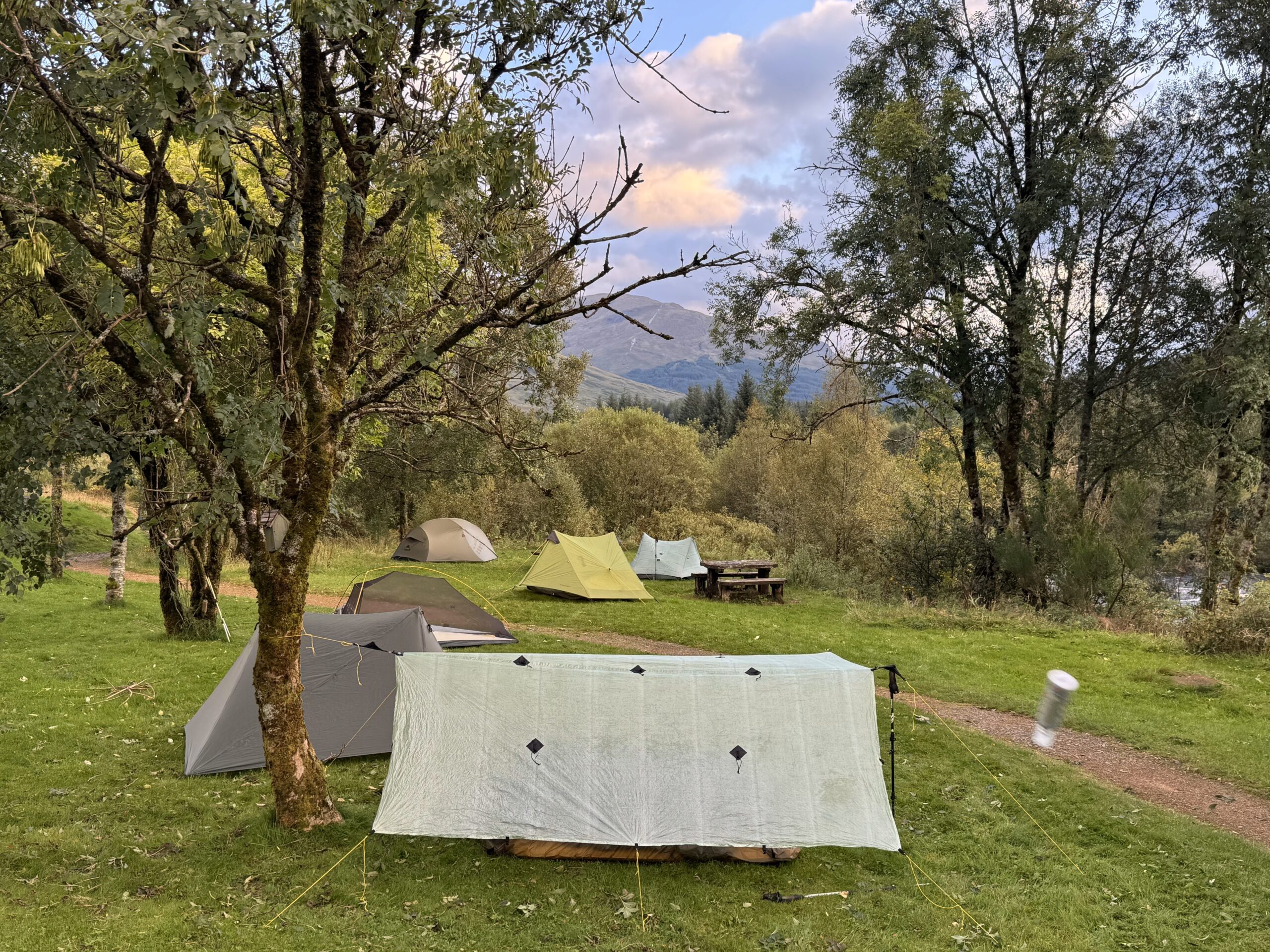
The west bank of the River Orchy had a village of tents occupying every flat pad of grass, so we explored the other side for some space to camp. Unsure if camping was allowed, we soon realized that a nearby sewage drain was probably the reason no one else was interested in sleeping there. That, and a swarm of midges occupying the airspace. Barb and I pitched our tents as quickly as possible, then ran for cover at the Bridge of Orchy Hotel.
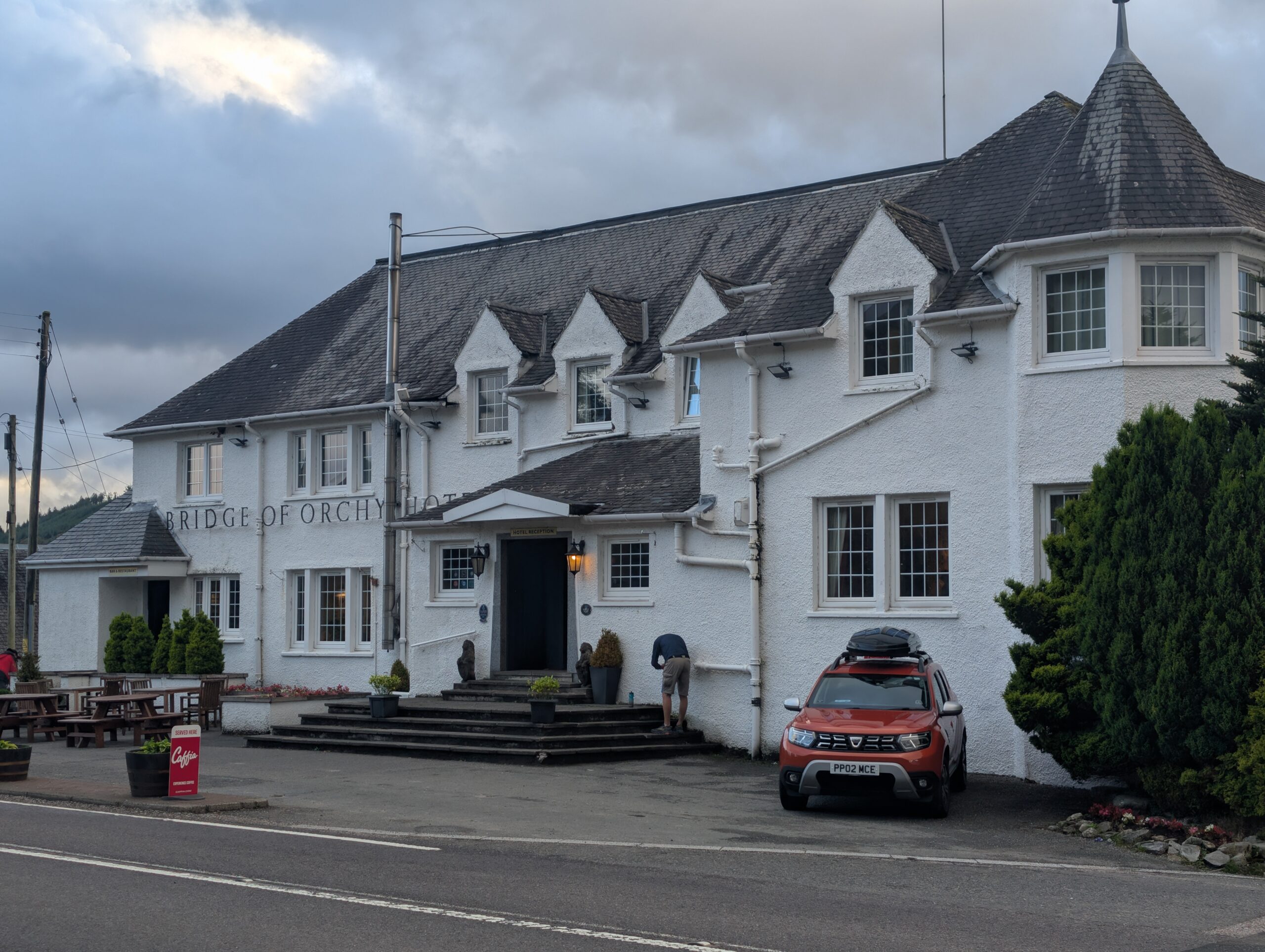
The restaurant in the hotel had a good vibe and the manager had big managerial energy, as revered by Spare Change. They were short-staffed and could not handle more food orders, so dinner that night was trail mix and Tennets. As Johannes would say, drei bier sind auch ein schnitzel.
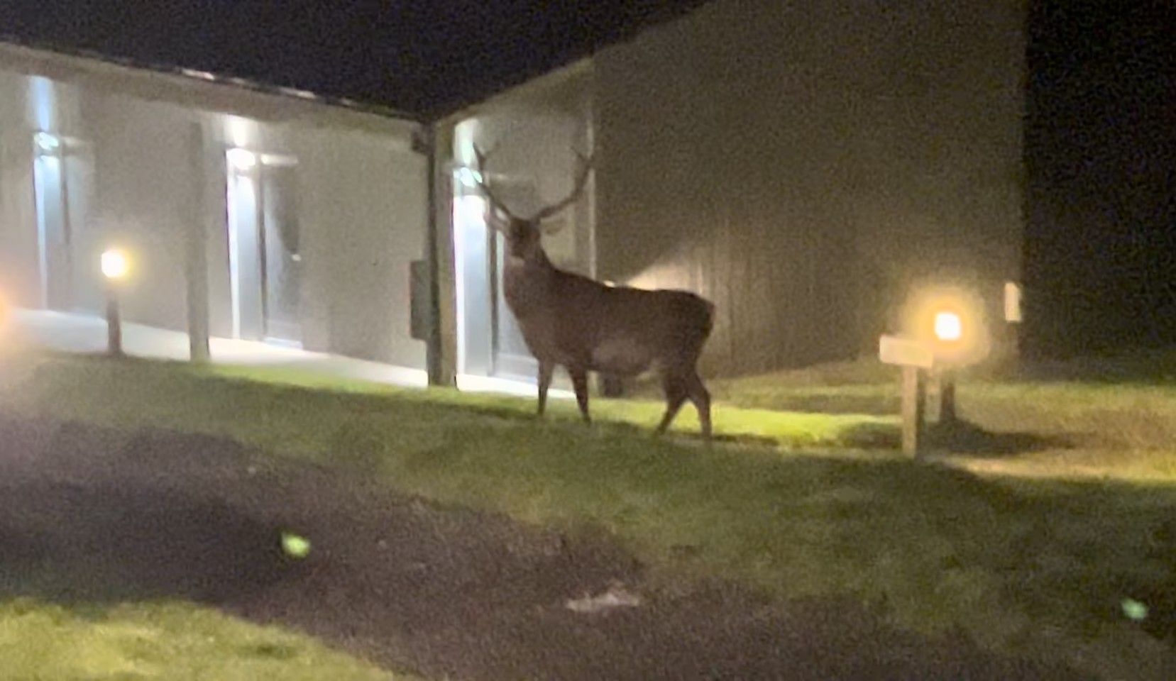
I tried not to act like complete hiker trash, but will confess I briefly utilized the hand dryers in the restroom to dry off my socks. I came out to hear that Porthole had the same idea. At least we gave the hotel plenty of our business to compensate. Barb called it an early night, then returned in a panic ten minutes later saying there was a “massive elk” terrorizing our campsite. This was clearly a job for Snow White. He cracked his knuckles, went outside, and made sure the red deer would not cause us any more trouble.
9/9 – Day 4
21.1 miles from Bridge of Orchy to Kinlochleven Midge City (Blackwater Campsite)
Elevation Gain: +4278′ -4695′
Midges congregated underneath our tent vestibule in the morning. I woke up to hundreds of the buggers just waiting for an opening to attack. Compared to mosquitos, I do not think midges are nearly as bad. However, I found midge tactics more annoying, pesky even, and the swarm clouds are quite frankly terrifying to see when popping your head out of the tent.

Barb and I packed with haste then went back to our safe space in the Bridge of Orchy Hotel. We had breakfast reservations, but could only order off a limited menu consisting of rolls. Two or three of these a piece did the trick, then the lot of us were ready to hike.
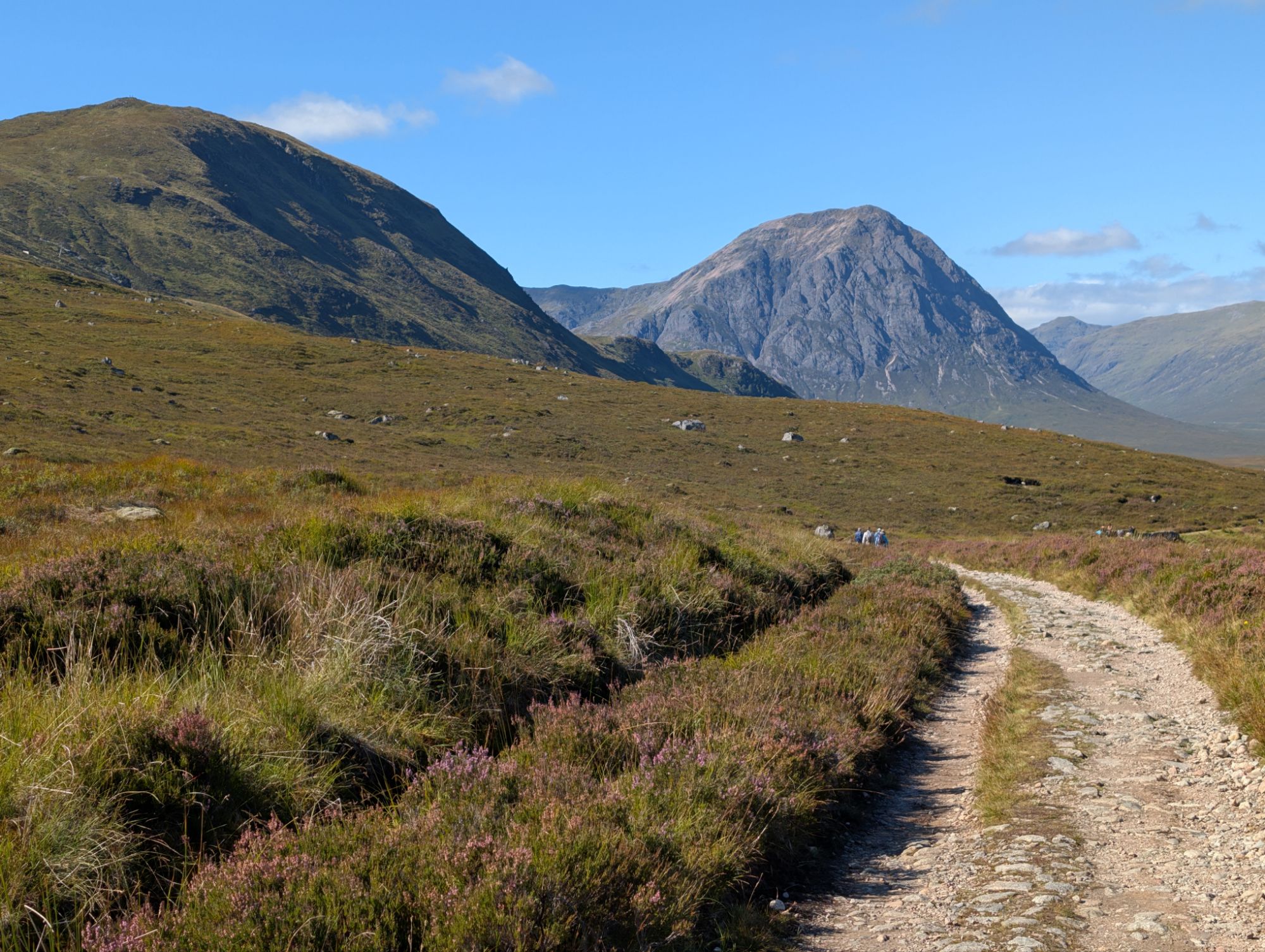
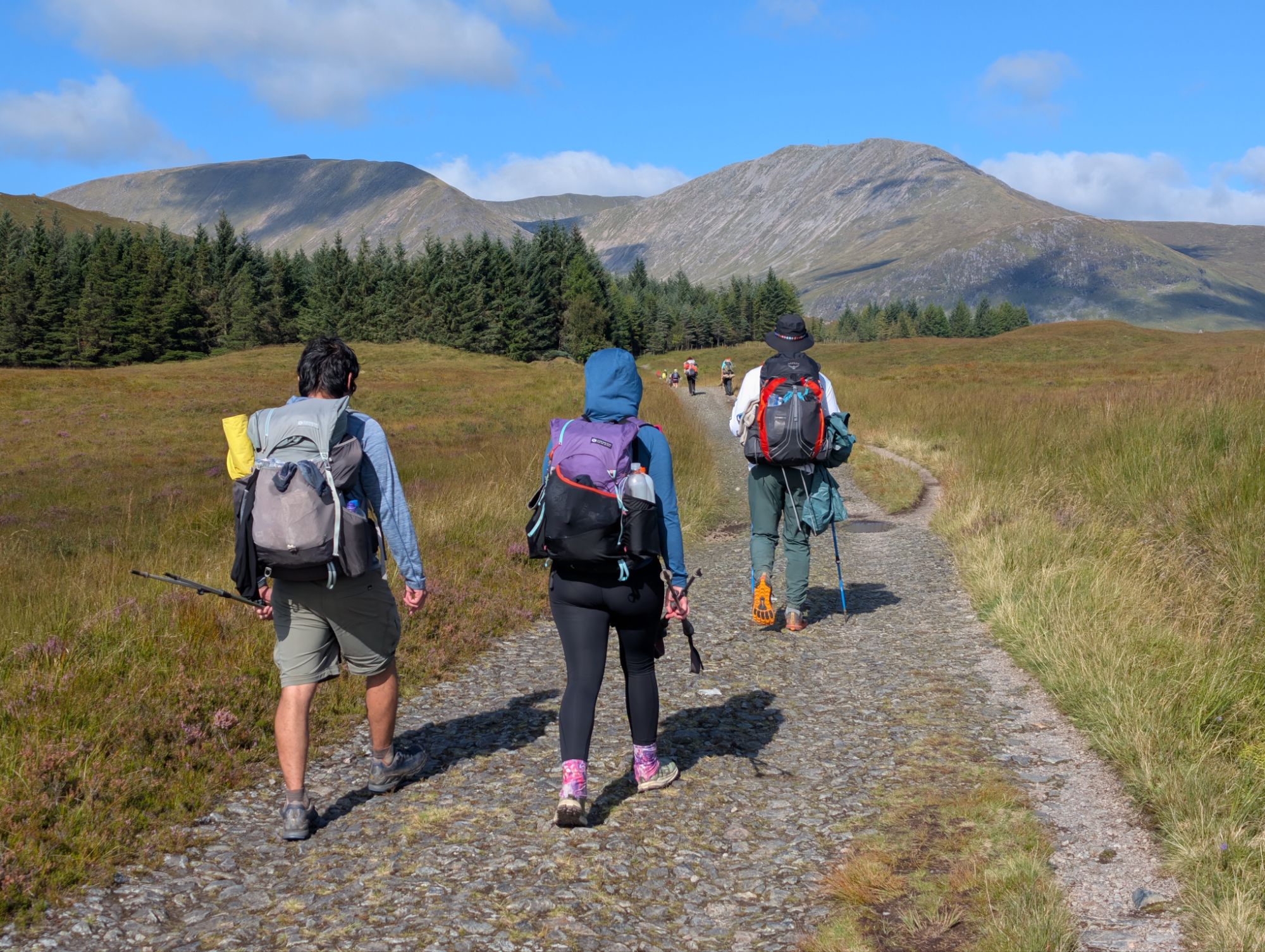
Today was the only day of the trip where the weather was truly perfect. It was sunny with a few puffy clouds, a light breeze, a high in the upper 60s, and no chance of rain whatsoever. This was not Scotland, it was San Diego. The ideal conditions could not have coincided with a better section of trail either. The landscape today featured quintessential highlands. Civilization was generally not visible from the trail and the countryside appeared to stretch indefinitely across Great Britain.
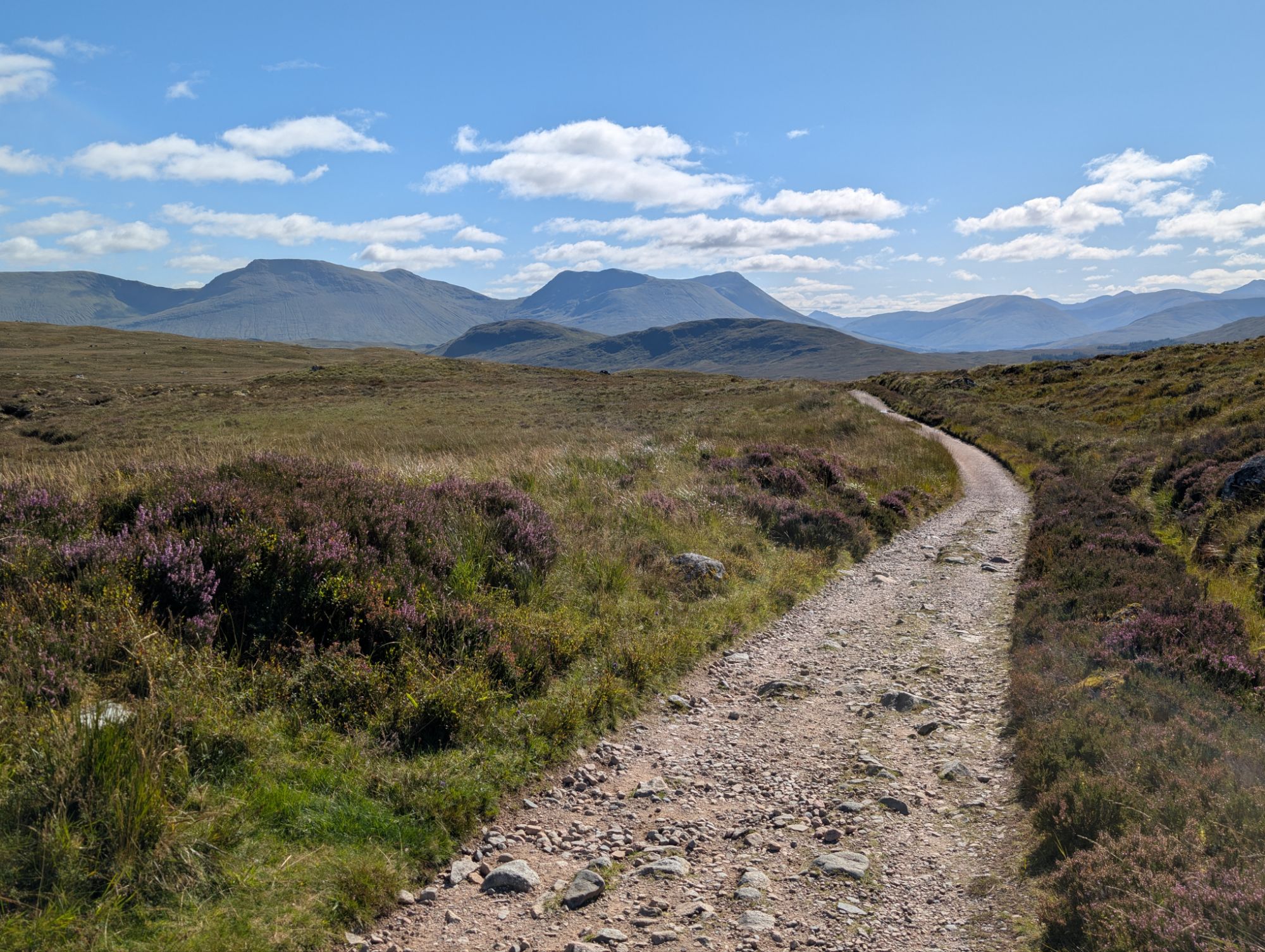
The trail was, however, extremely crowded. Outside of the most popular National Parks I have visited, this was the busiest I had ever seen a hiking trail. There were Scots going for strolls in their backyard, English people slack-packing on holiday, and Germans outfitted in tactical gear on a life-or-death survival mission. Then, there was some badass woman passing all of them whilst twelve weeks pregnant.
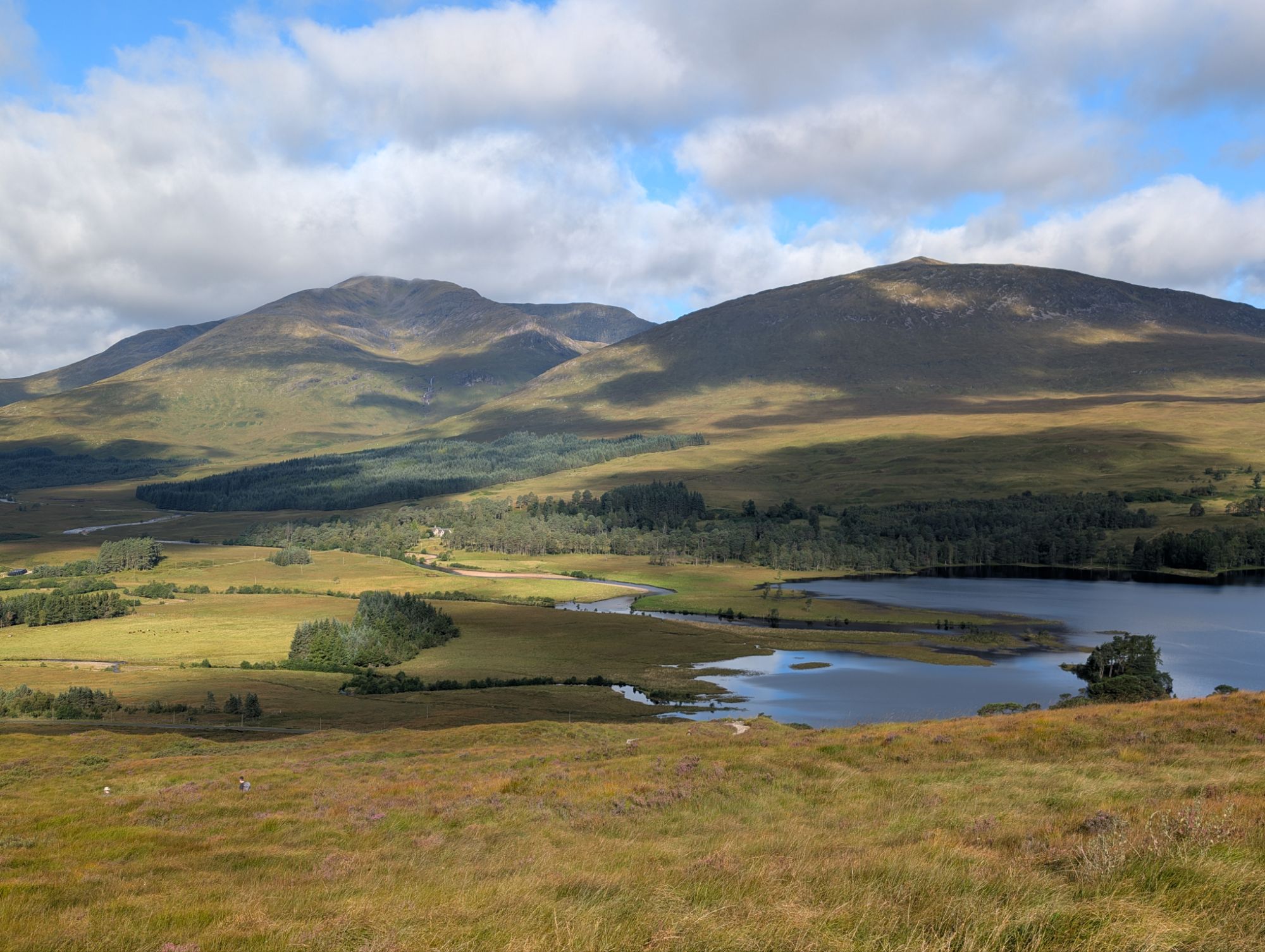
We reached another one of those Inv-towns (Inveroran this time) which had a small shop for Scottish snacks like Jelly Babies and Iron-Bru. Then, we found ourselves lost in the endless highlands once more. I hiked with Barb, AVR, and Snow White while the others gunned ahead. We picked out landmarks ahead on trail and attempted to estimate how far they were using my GPS watch, sometimes a half mile or further. AVR was the only other parent in the group and shared some of his wisdom with Barb and me: the way to test if you are ready to be a dad is by imagining what your first reaction would be to a little girl waddling over to you and saying, “Daddy, I threw up.”
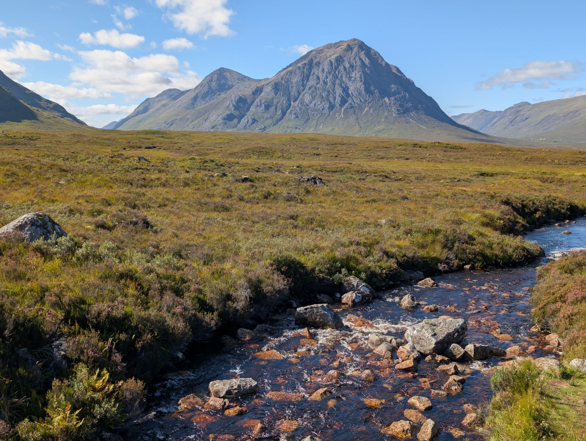
The mountains grew more dramatic as we descended into Glen Coe. Geologically speaking, we were hiking onto the remains of an ancient supervolcano and mountains carved out of the valley from glaciers. The prominent highlight was Buachaille Etive Mòr, a pyramid-shaped behemoth that guarded the entrance of the Glen Coe Valley. The trail brought us to several unbelievable viewpoints of the mountain on its way to Kingshouse.
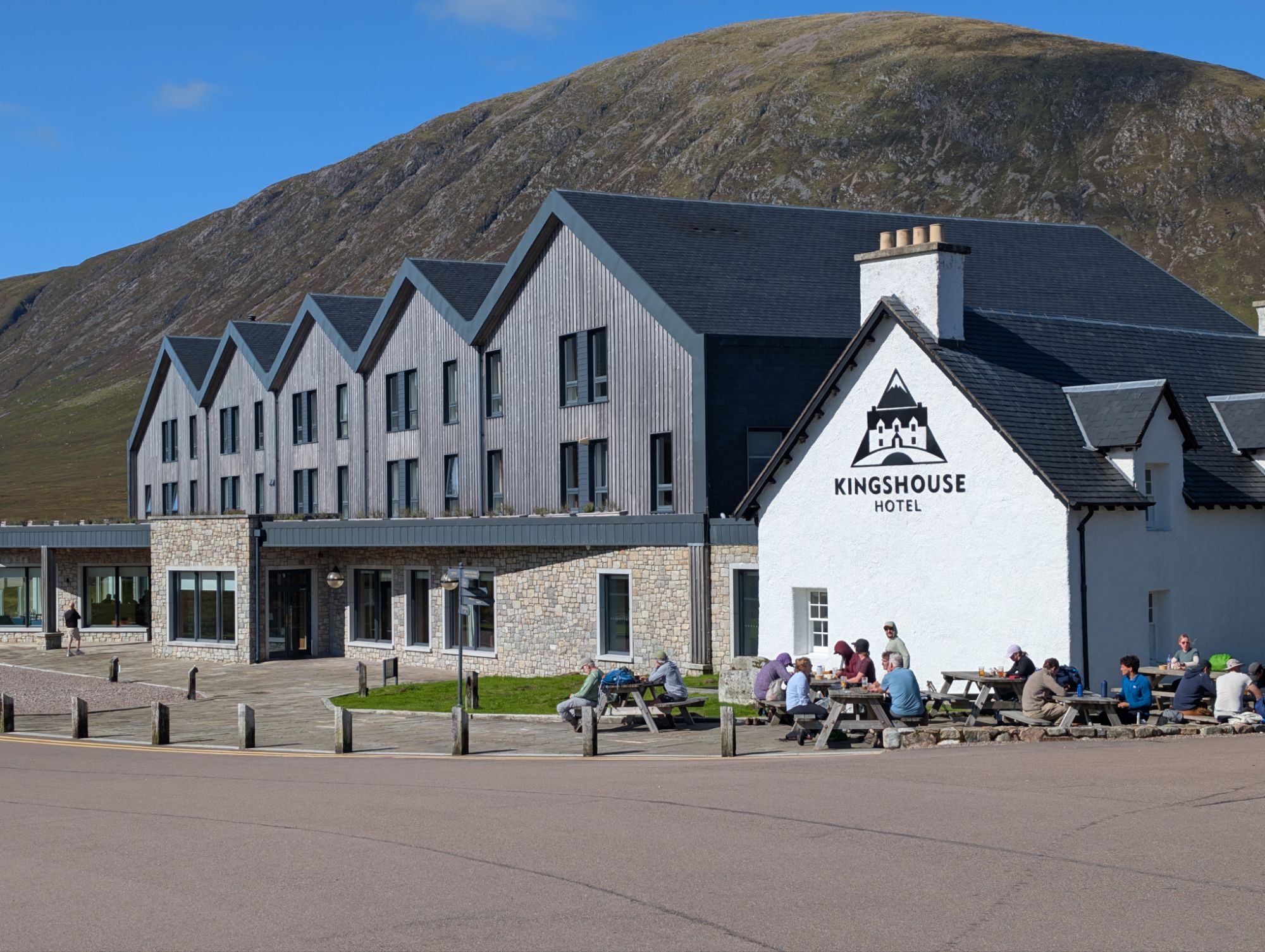
Kingshouse is one of the most popular inns on the West Highland Way, and for good reason. The building itself was beautiful, the staff was friendly, and the setting was stunning. We joined the others eating lunch on the patio.
Some fear-mongering user on reddit got food poisoning on a recent thru-hike and blamed the beef chili at Kingshouse. I contributed to the misinformation by telling our group that the chili should not be trusted under any circumstances (even though, I digress, overwhelming evidence suggested toilet paper was contaminating many of the water sources, so the disease was more likely to be some form of fecal-oral virus). Spare Change was brave enough to give a bowl a try and reported it was “pretty tasty” and told us “I don’t know, I just really like chili”. The rest of us cowered in fear.
The weather forecast made it clear that today was the only day we would be blessed with sunny skies, so it made sense to take advantage of it and hike as long as possible. We committed to yet another 20 mile day after reserving space at the Blackwater Campsite in Kinlochleven. Standing in our way was an intimidating climb to the highest point of the West Highland Way, referred to as the “Devil’s Staircase.” In the early 20th century, some poor blokes got whiskey drunk at Kingshouse and died during their return trip home, cementing its grim legacy.
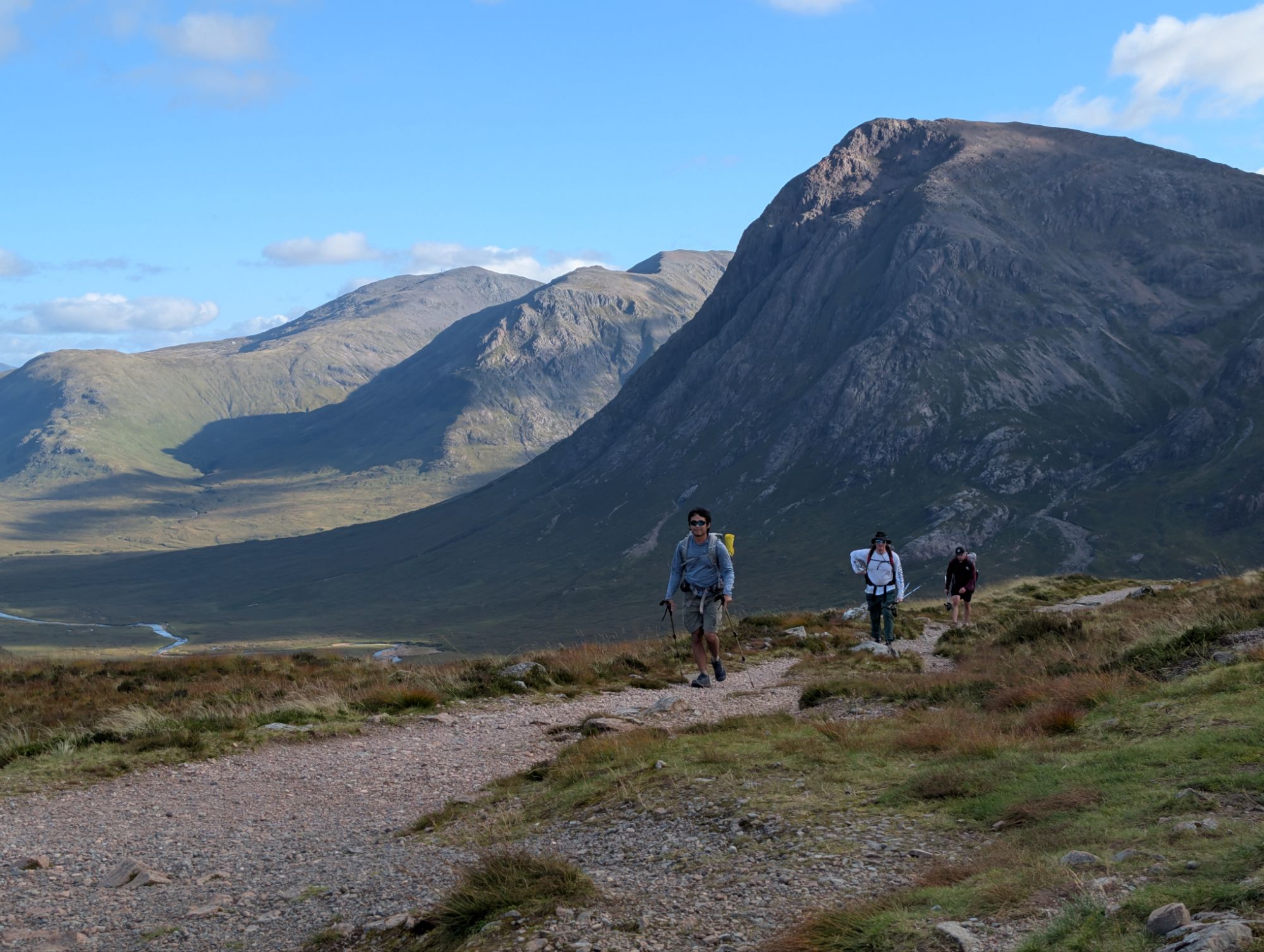
Contrasting the name, the hike offered angelic views of Glen Coe. The terrain, albeit steep, was not too drawn out and many of us agreed it was a fun challenge to break up the otherwise level-graded route. Johannes adopted the trail name Big Booty Johnny after powering up the hill with his dumper. We stood on the high point at 1,797′, soaked in the views, partied a wee bit, then continued north.
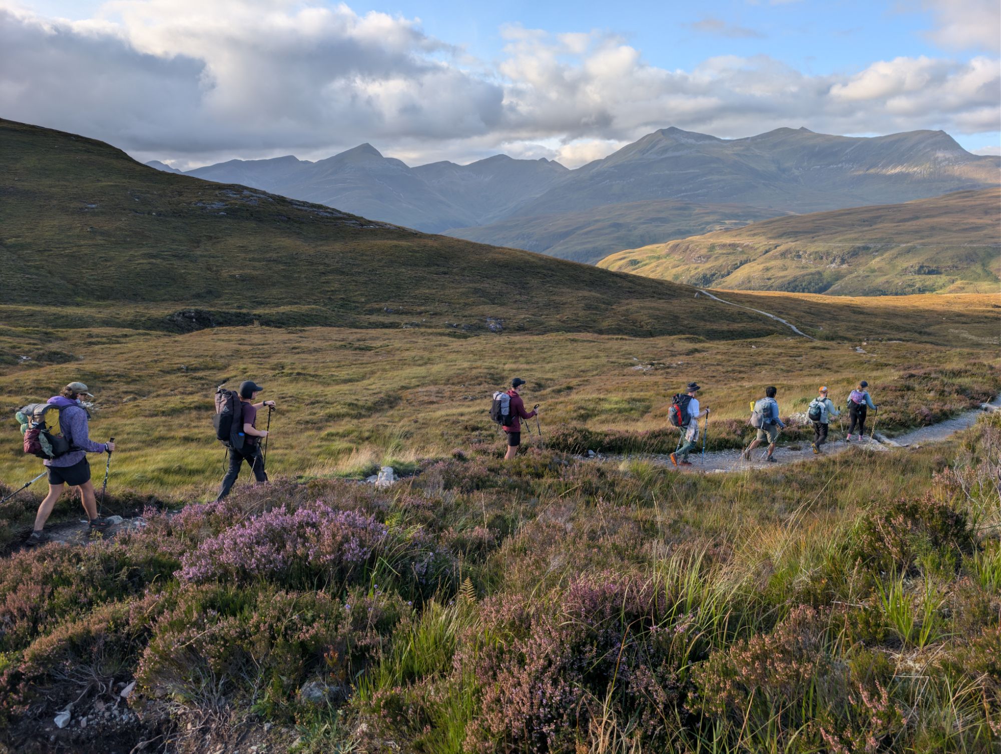
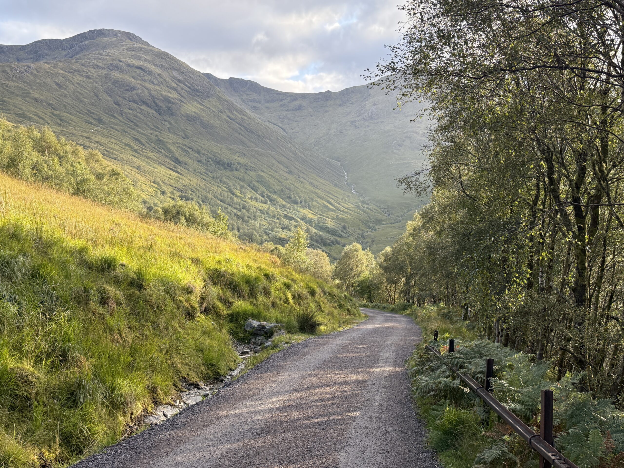
The remaining five miles or so were mostly downhill on an old, gravel military road. This looked nice on paper, but some parts were comically steep and made quite the impact on our knees. Due to extenuating circumstances, we were forced to implement a “No Complaining” rule. It was simple: whoever complained first had to buy the next round of beers. It worked shockingly well and our tramily was a beacon of positivity in spite of the tedious lovely descent.
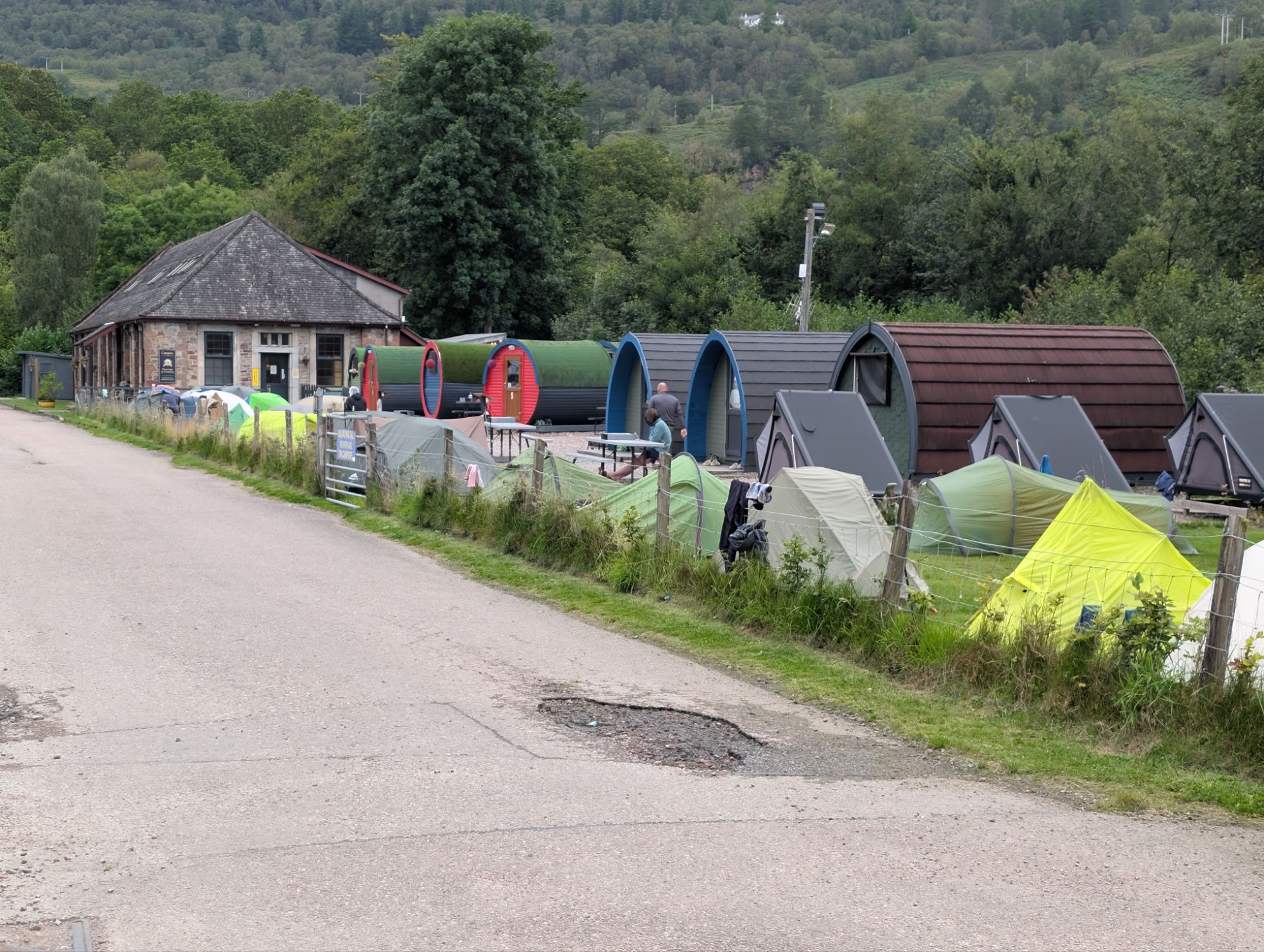
At length, we made it to the bottom of the hill and came upon a hydroelectric plant at the entrance of Kinlochleven. We checked in at the Blackwater Campground and joined the village of tents in the vicinity. I ignored the many hygiene-related chores screaming for my attention in favor of going to a local pub for dinner. We went to the Tailrace Inn to stink up the joint and drink all their beer. While eating, we pretended to be Arsenal fans as they beat SSC Napoli on TV. We closed the bar down at only 10:00pm.
9/10 – Day 5
13.3 miles from Kinlochleven Midge City to Ben Nevis Inn
Elevation Gain: +2841′ -2887′
Kinlochleven proudly claims it is the “midge capital of the world”, the Kinlochleven high school mascot is the Robin (a fierce bird that eats midges), and the honesty box standing outside the school entrance was labeled the “Wee Midgie Honesty Box”. Needless to say, there were a lot of midges in this town. When I woke up at 8:30am and went outside the tent, there was nowhere to hide. I stood awkwardly in the bathroom for a while, but determined the best bet was to start moving.
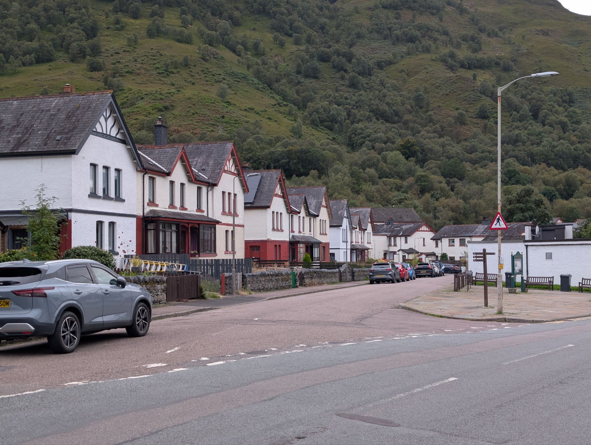
Aside from the bugs, Kinlochleven appeared to be a nice, livable town. The homes were organized in neat little rows along the River Leven. There was a food co-op with a wide selection of packaged food and produce from local farmers. Leven Bites served Barb a hot coffee to warm up on the chilly, rainy morning.
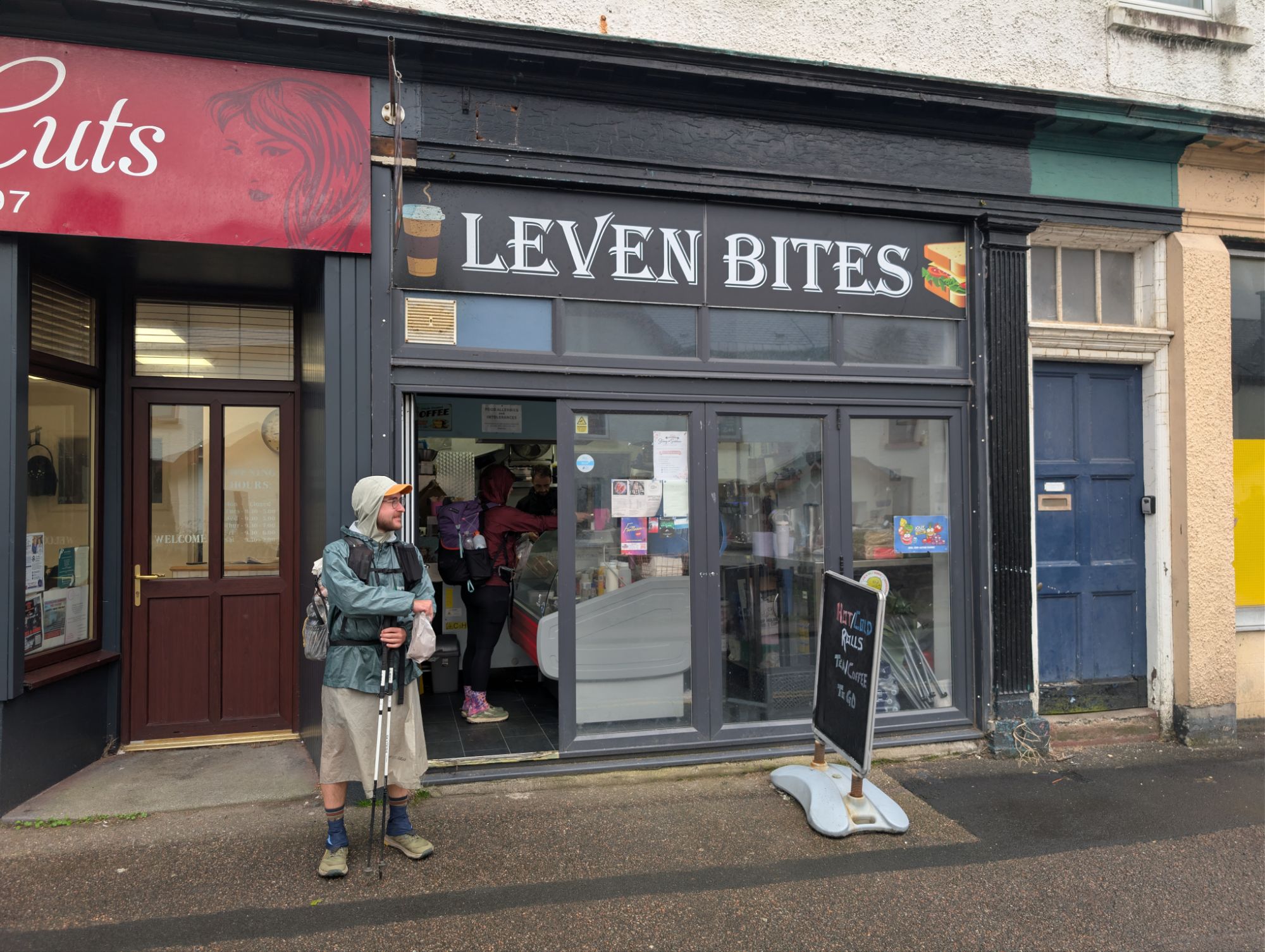
We climbed up a fairly steep hill leaving town, passing hiker after hiker with tan-colored midge nets protecting their faces. The mesh holes of my mosquito head net were just barely too large, admitting the occasional midge to an all-you-can-eat buffet of my neck. I cannot complain though, as Barb and Swig seemed to have much tastier skin and walked away with significantly more red dots than the rest of us.
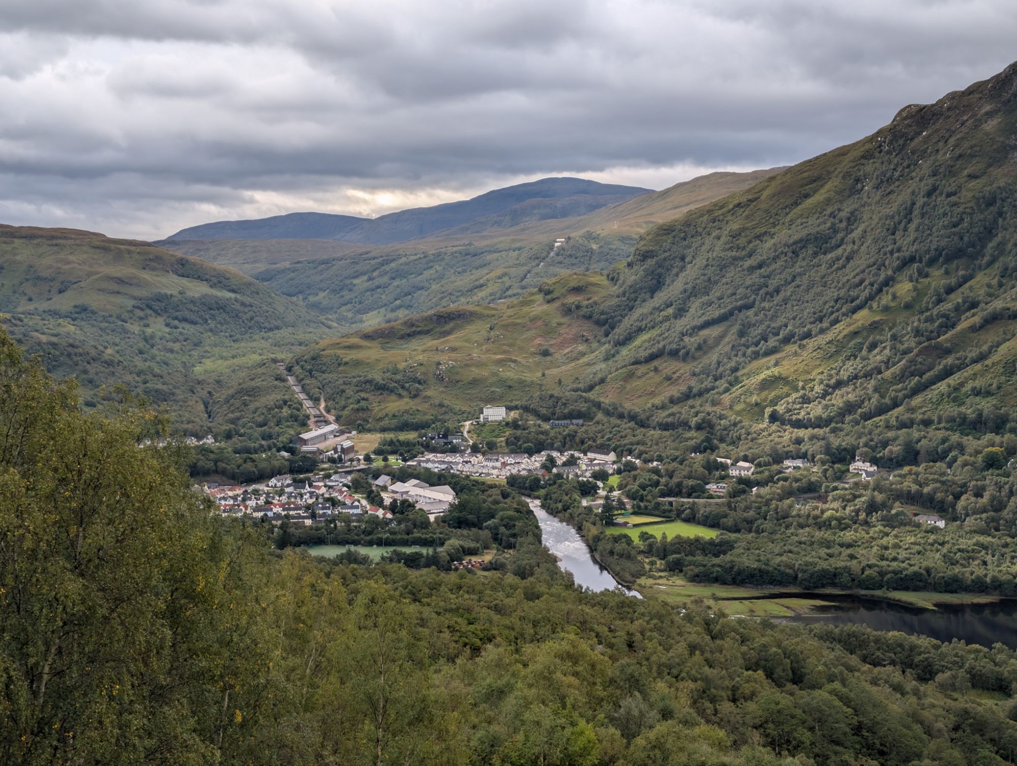
The rain helped in keeping the bugs at bay, but the wind at the top of the hill was the real ticket. We found a stellar overlook of Kinlochleven and the adjacent, Loch Leven. From here, the trail flattened out and meandered through the highlands once more. Fog obscured the sweeping views, but created a mystical atmosphere. No one minded when the skies released the occasional shower, because it meant a break from the bugs.
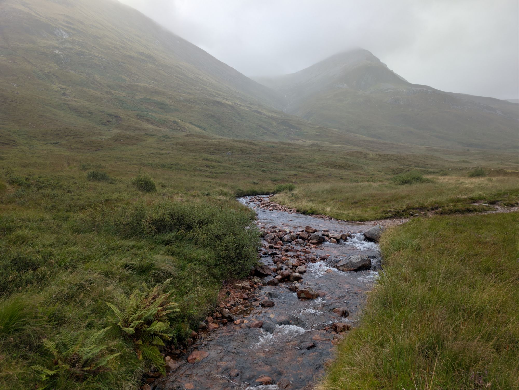
Barb said she felt pretty good today, but we still found ourselves in the back of train, which was now 3-4 small groups or pairs well out of sight of one another. Spare Change caught us from behind and sold me on making a side quest to the ruins of the Dun Deardail Fort. Less than a half mile spur trail brought us to the remains of a vitrified fort built in the Iron Age. Its position atop a knoll was likely strategic, but I mostly appreciated the incredible view of the massive mountain, Ben Nevis, across the glen.
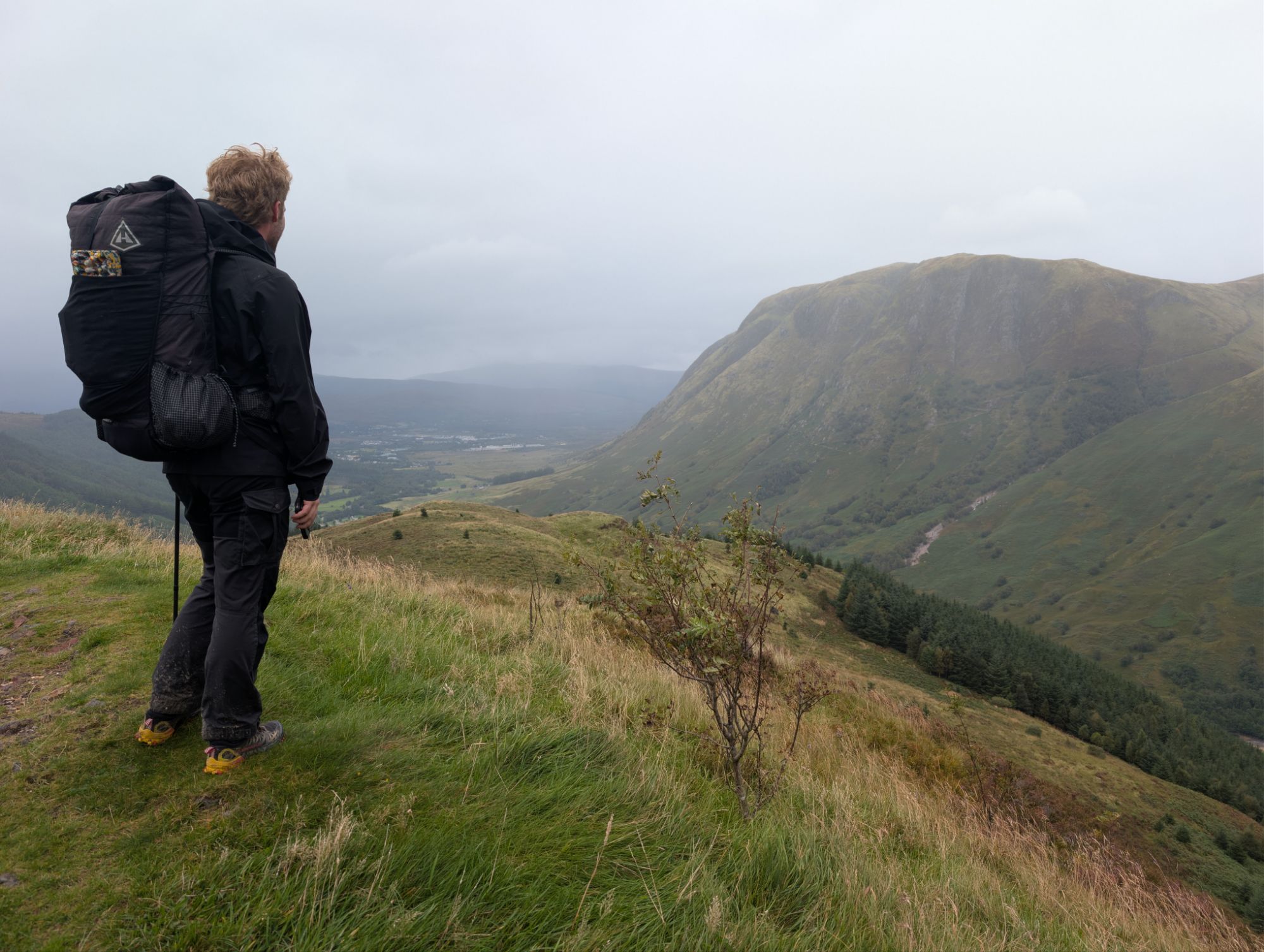
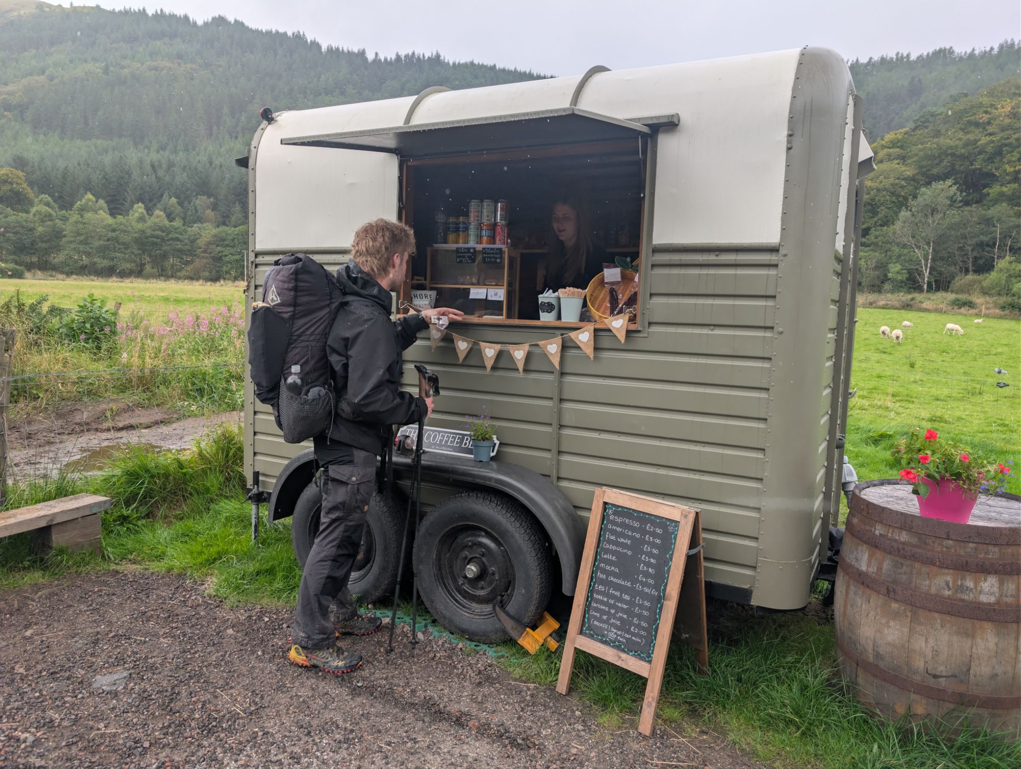
Spare Change and I enjoyed a quick lunch in a dense pine thicket. Then, we followed the gravel trail down into Glen Nevis, following the footsteps of a stubby Corgi. At the bottom, we walked past a few sheep farms and came to a quaint coffee cart serving espresso in the rain – I love Europe. With lattes in hand, we made it to our accommodations for the night at the Ben Nevis Inn.
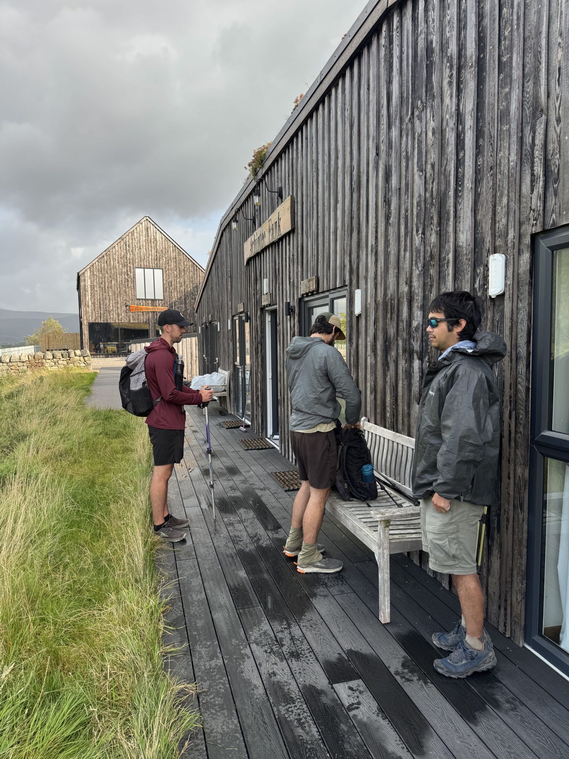
It was about 3:00pm. Barb, Porthole, Snow White, Big Booty Johnny, and AVR were already seated at a table, warming up with delicious bowls of Thai-spiced sweet potato soup. Someone was missing. “Where’s Swiggy?” I asked.
Apparently, Swig was hiking alone without a map, so he asked an old chap for directions to the Ben Nevis Inn. The man told him he was a proud regular there and would show him the way. Swig followed the man for two full miles (eventually realizing this was not right but too coy to tell the man and break his heart). They went all the way into downtown Fort William, completed the West Highland Way in the process, and pulled up to the world famous pub, The Ben Nevis. Not to be confused with the Ben Nevis Inn (Scotland really needs to get more creative with their names). At this point, Swig figured he might as well share a pint with his friend before turning around and hiking back.
Meanwhile, our crew unwound at the inn. We shared two, 4-person bunk rooms; snorers in one, non-snorers in the other. I did some much needed laundry in the sink, showered, and utilized the drying room to hang up our wet clothes, tent, and quilt. Swig returned within the hour and retold his hilarious misadventure over drinks at the restaurant.

We previously made dinner reservations at the restaurant for 7:15pm. We were seated at a long table and were served some of the best meals of the entire trip. The sweet potato soup certainly lived up to the hype. I tried whiskey from the local Ben Nevis Distillery. At 8:00pm, four live musicians took the stage and played traditional Scottish music on accordion, fiddle, and drum. We played a few intense rounds of Pass the Pigs before closing out the pub yet again.
9/11 – Day 6
2.1 miles (+10) from Ben Nevis Inn to Fort William
Elevation Gain: +4810′ -4905′
We had a relaxed morning in the bunk room, listening to Ben Fogerty and making instant coffee with an authentic electric kettle. The plan for today was to bag the United Kingdom’s tallest mountain, Ben Nevis, then hike the final few miles to Fort William to complete the West Highland Way.
Oh, I left a good job in the city
Workin’ for the man every night and day
And I never lost one minute of sleepin’
Worryin’ ’bout the way things might have been
Big wheel keep on turnin’
Proud Mary keep on burnin’
Rollin’, rollin’
Rollin’ on the river
Some of the group required convincing, but peer pressure prevailed and everyone prepared to attempt the climb. A nice benefit was that we could leave most of our gear at the inn and only had to carry day bags with snacks, water, and a jacket or two. Porthole and BBJ started up early. The rest of us hiked out together then settled into our own paces to manage the 4,400′ of elevation gained over 5 miles. Since Glen Nevis sat just barely above sea level, we effectively had to earn every single inch of height. Fortunately, the pony track we followed was well-graded and pristinely maintained. Perhaps the biggest obstacle was navigating the Friday morning crowds.

The forecast promised a second day without rain, but it was cloudy and the summit of the mountain was entirely shrouded in fog. The first couple of miles ascended a steady rock staircase. Someone’s unleashed dog was going wild, literally running circles around us, then darting down the side of the mountain to chase sheep. We previously saw signs prohibiting this kind of “sheep worrying”, which is a criminal offense in Scotland.
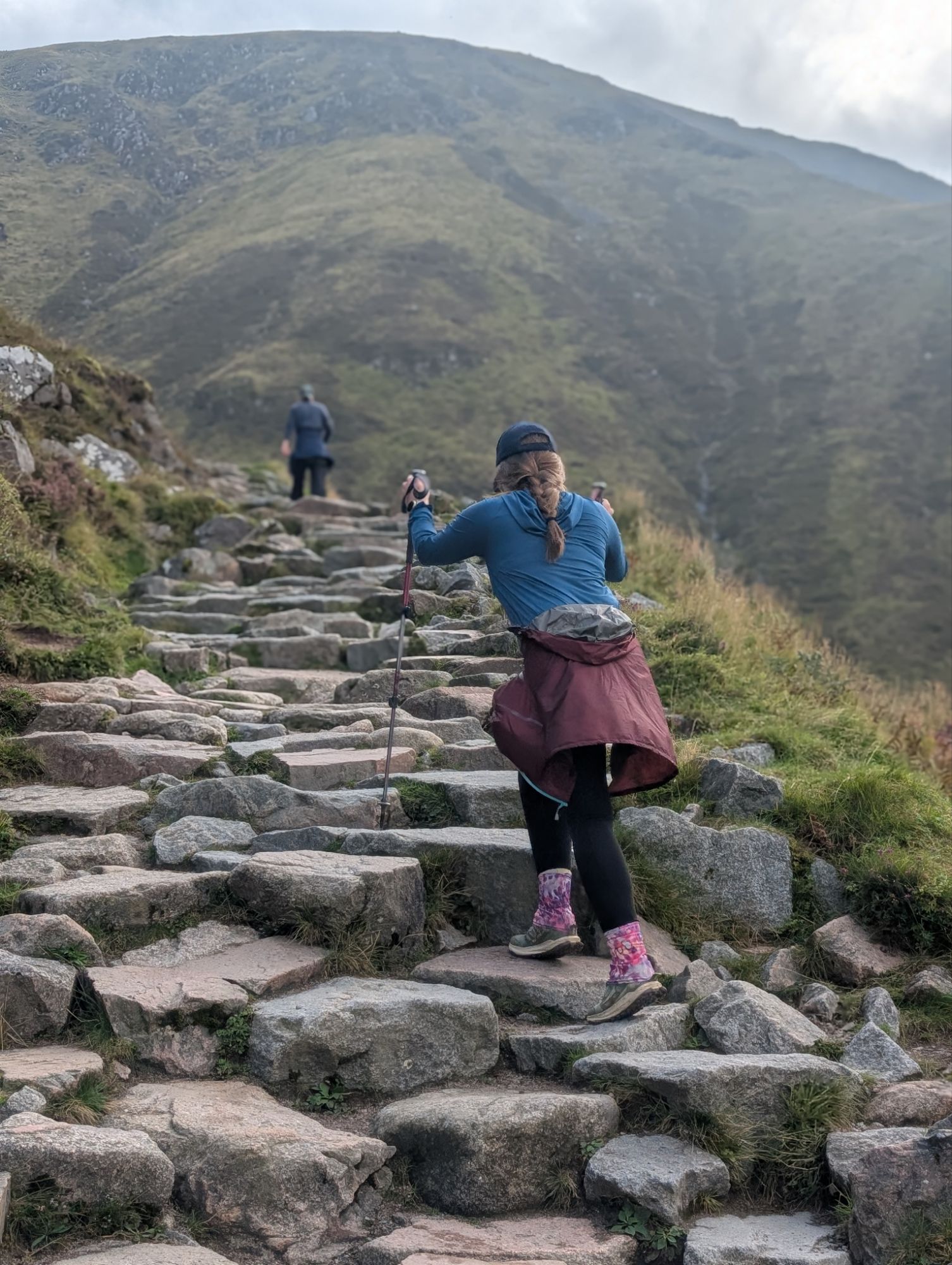
Eventually, the trail flattened out a bit as it came to greet a beautiful alpine lake, the Halfway Lochan. Beyond here, the rock staircase devolved into gradually worsening scree. The wind had a bite and the fog grew heavier the higher we climbed. It was not long before our field of vision was limited to fifty feet or less. We would later see souvenir shops selling T-shirts and coffee mugs saying, “I hiked Ben Nevis and didn’t see a damn thing!”
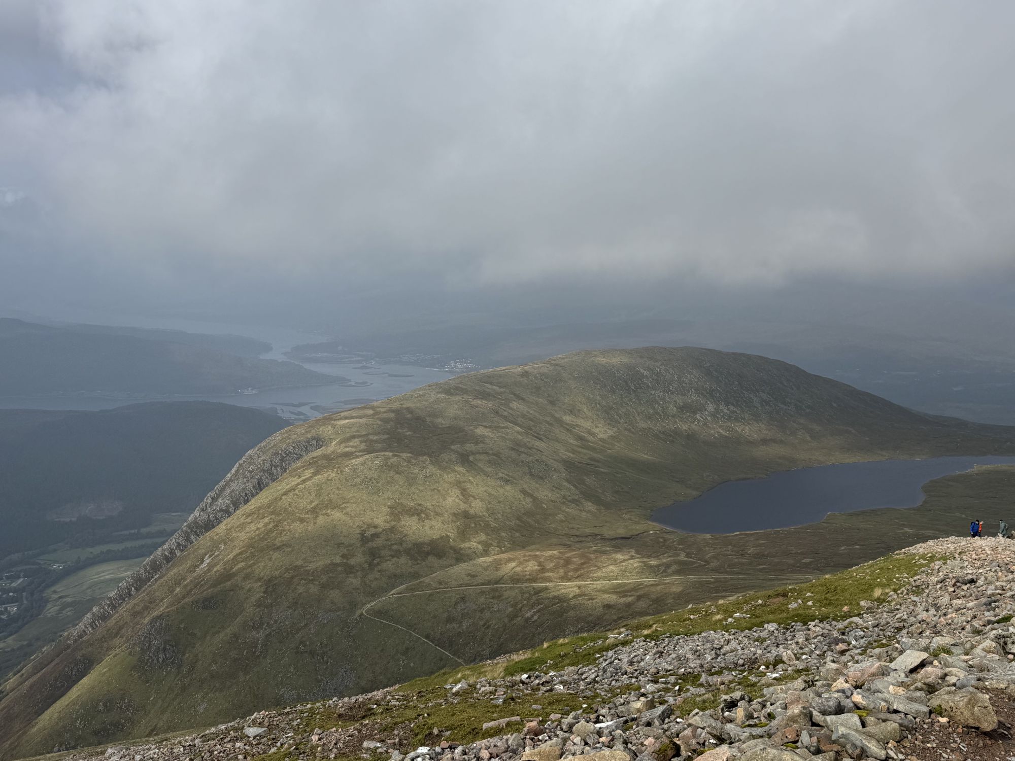
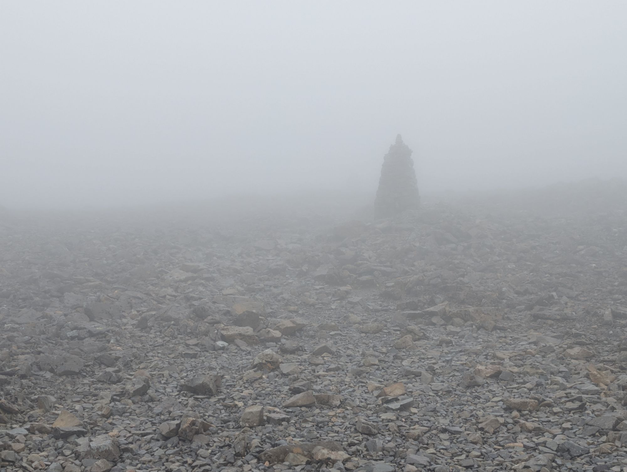
The second half of the climb seemed to drag on and the only indicator of how close I was to the top was the altimeter on my watch. 4,100’… 4,200’… 4,300’… Eventually, I came to the edge of the sheer, north face cliff and the surroundings leveled out. The summit of Ben Nevis is a stony plateau rather than a peak. There had to be close to a hundred people congregating around the plaque at the apex and the small emergency shelter. We even had to queue for an opportunity to get a photo! However, it was still a very worthwhile endeavor and it felt great to literally be standing on top of a kingdom.

I was worried the descent would be a slog, but it actually proved to be more scenic and enjoyable than the way up. Pretty much as soon as we dipped beneath 3,500′, the clouds began to clear and we were treated to expansive views of the Grampian range. I could make out the town of Fort William, as well Loch Eli to the north and Loch Linnhe stretching all the way westward towards the Atlantic Ocean. Across the glen, I spied the ridgeline we descended from yesterday and even the prominent knoll jutting out from the hillside where the old fort once stood.
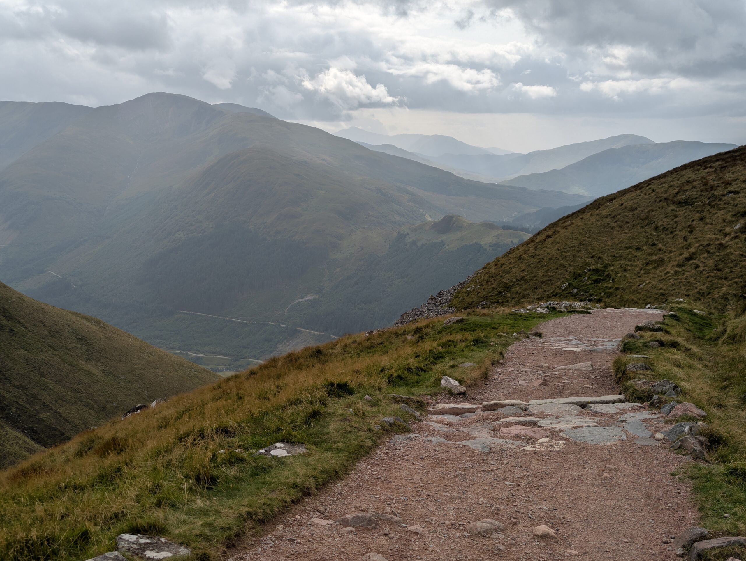
Shortly after 3:00pm, Bard, Snow White, and I made it back to the Ben Nevis Inn to find Spare Change, Swig, and AVR waiting for us. We celebrated our successful summit with tomato soup at the restaurant, which was apparently infused with special healing properties. Our group rolled out an hour later, with just a couple of easy miles remaining. Swig previously followed the high route through the woods (both there and back), which he told us had nice views overlooking Fort William and the River Lochy. However, most of us preferred the path of least resistance at this point, so we followed the “red line” on the sidewalk of Achintee Road. While this was not a particularly scenic end to our journey through the highlands, it turned out to be a pleasant stroll through the outskirts of town.

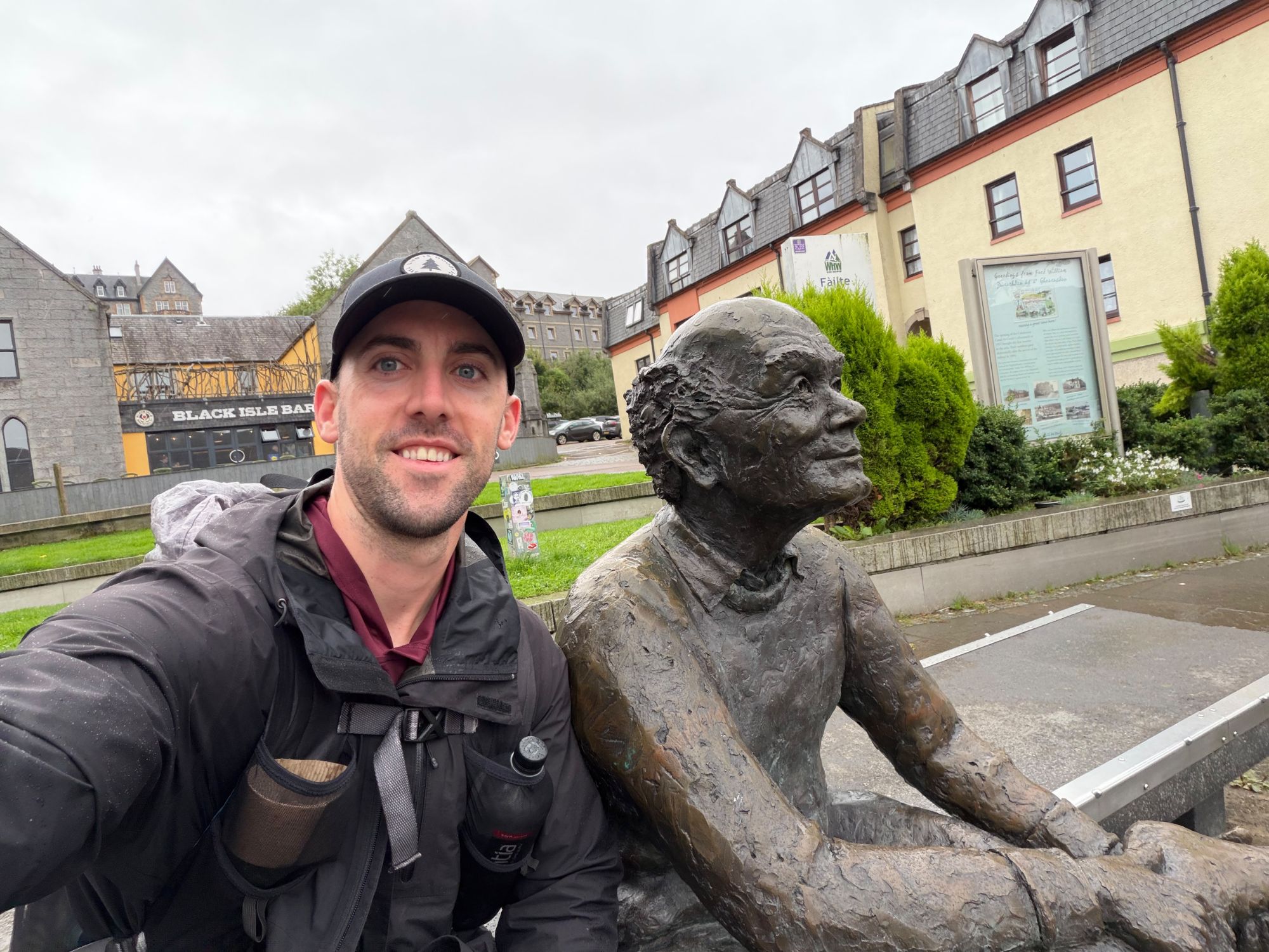
Fort William was the largest of the towns we visited during the hike, and easily the most charming as well. We passed quaint cottages with impressively well-manicured front lawns, before coming to a roundabout and a sign marking the original end of the West Highland Way. The new terminus was about a mile further through town, at the far end of the pedestrianized row of shops and restaurants on High Street. The road was bustling with people, many of them equipped with hiking backpacks. It was clear Fort William was a proper mountain town. The urban finale concluded at Gordon Square, next to a stone bench and an iconic bronze statue of a tired walker, known as Sore Feet.

Food was a priority, so we decided to meetup at Black Isle Brewing an hour after checking into our respective hotels. Barb and I stayed at the Bank Street Lodge. We did not pack a change of clothes and the majority of our wardrobe was still in Glasgow, so that meant we were heading out draped in smelly hiker garb. Black Isle Brewing was a trendy spot with excellent pizza (even vegan options) and dozens of beers on tap. A live band played Scottish tunes as we reflected on the hike – what a journey it had been!

The night would not be complete without paying a visit to The Ben Nevis pub. The inside was packed, so we sat on the outdoor patio for a while as we debated plans for tomorrow. The group dynamic was a bit dicey after an exhausting week of hiking, but everyone seemed to have had a great time on trail and I was thrilled that the trip went so smoothly. Inside the pub, a singer and guitarist started jamming out and we found space at a table sitting directly next to him. He sang classic rock and country music, ending the night with the same song in which the day began; something about leaving our stressful lives behind and finding peace and community in the simplicity of nature.
Rollin’, rollin’
Rollin’ on the river

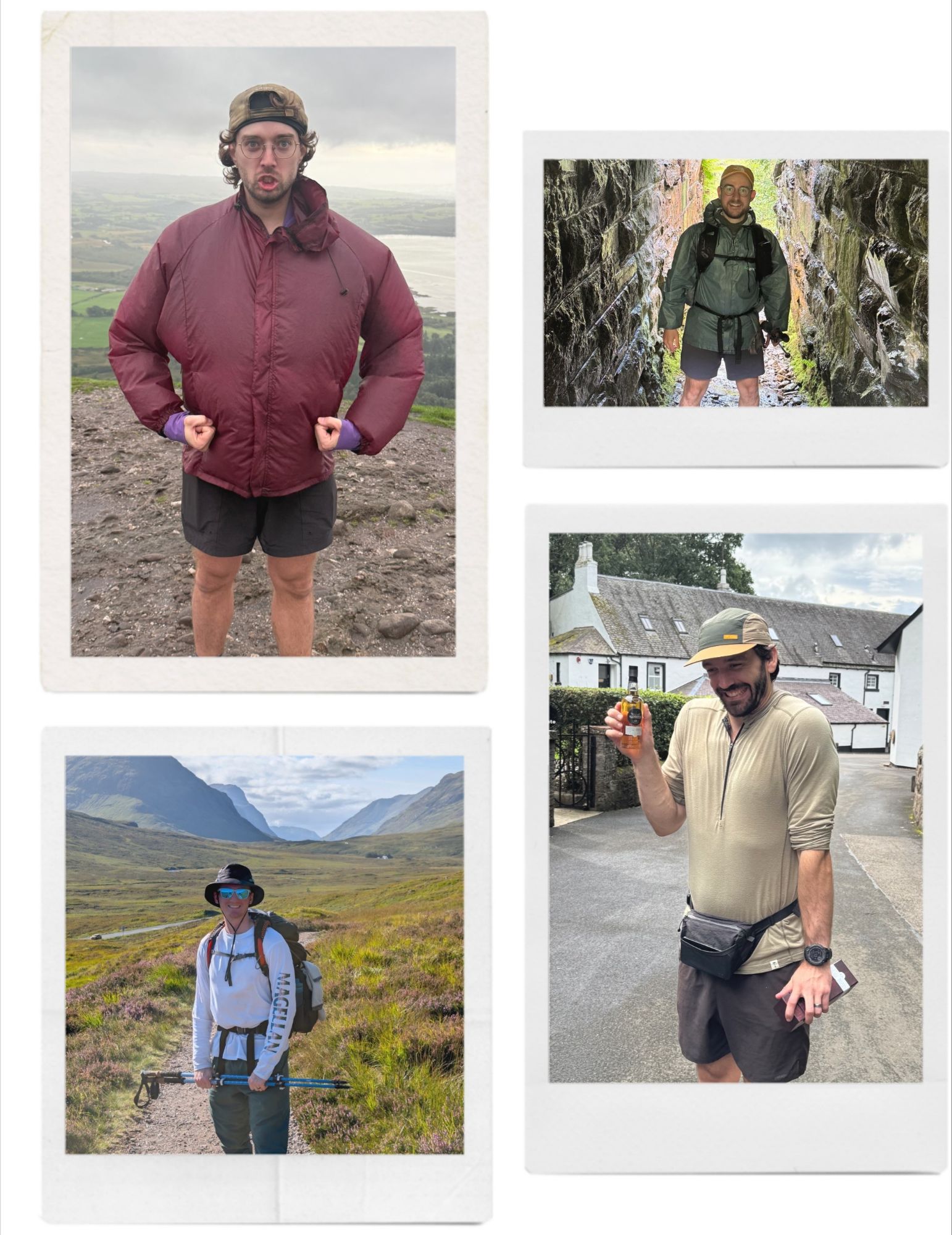
Conclusion
The West Highland Way felt like a totally different style of hike compared to our previous summer trips. Some opinionated feedback from the group was that, on the positive side: the scenery was beautiful, the towns had a lot of character, it was easily accessible, and pub hopping while backpacking is just plain fun. The biggest complaints were the large crowds, associated lack of remoteness, and the midges during the last two days. Overall, I believe that hiking the West Highland Way may very well be the best way to experience Scotland for the first time.
As individual schedules permitted, people chose to stick around for at least a few days after completing the hike. I was interested in spending some additional time in Glasgow and exploring Scotland’s capital city, Edinburgh. Click here to read about the four days we spent in Scotland after the hike. Thanks for reading!
Stay dirty,
-Girl Dad
1 thought on “100 Miles on the West Highland Way”