7/25 – Day 97
24.3 miles from Grider Creek to Kangaroo Spring
July 25s: 16
It is absolutely incredible what the human body can endure. Hobbling into camp the previous night after 30 miles, I was exhausted and my knee was screaming for me to stop. A measly six hours of sleep was all it took to recover. I felt more than capable of doing it all again.
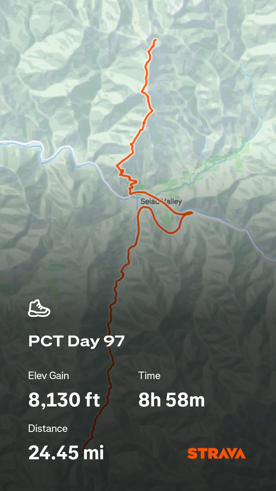
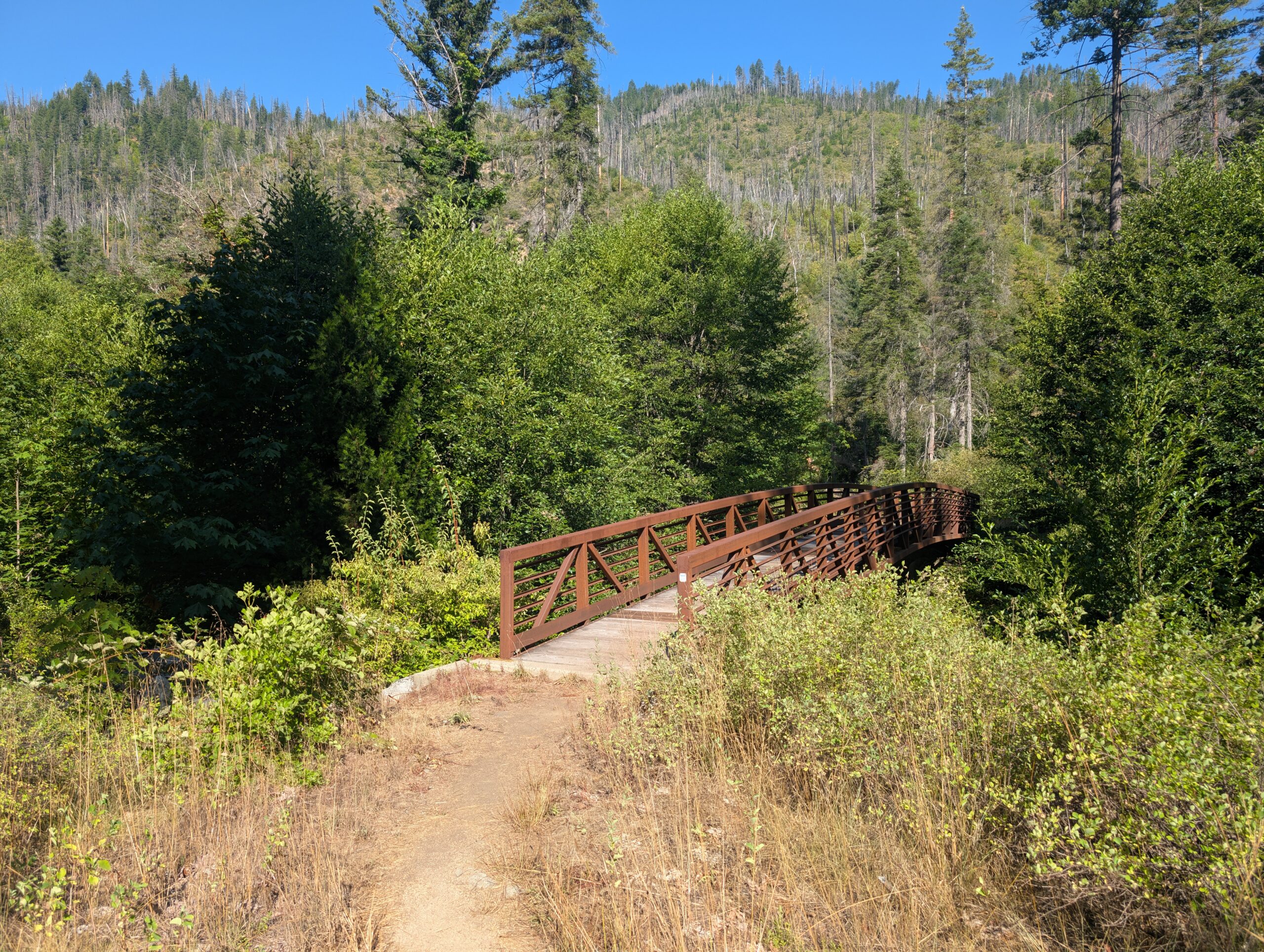
The blowdowns were less frequent during the remainder of the descent in Seiad Valley. We made good time hiking through the woods, crossing quite a few footbridges over Grider Creek along the way.
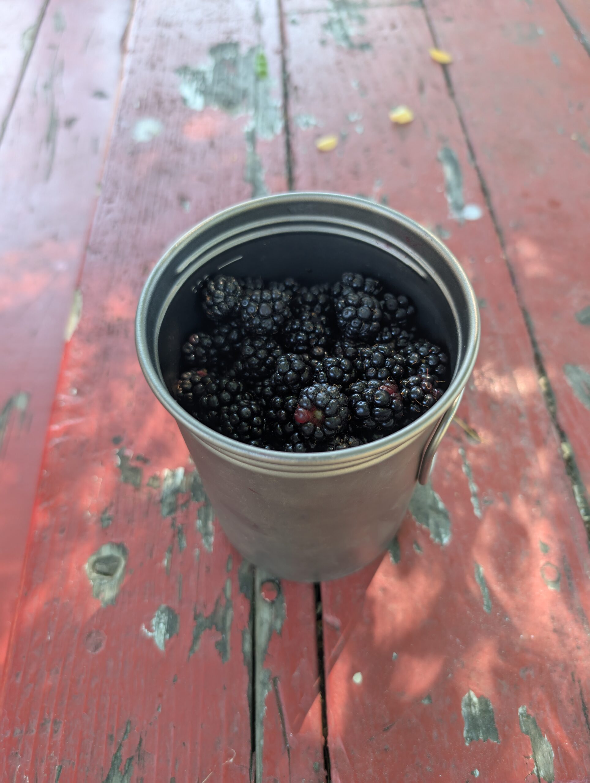
After several miles, the trail intersected a dirt road and we began a seven mile road walk into Seiad Valley. The sides of the road were overflowing with marionberry bushes, ripened just in time for us to feast. There were so many that, once we had our fill, we topped off our 1 liter pot. Later in town, we shared the gift of berries with the other hikers.
The road crossed over the Klamath River and brought us to the tiny community of Seiad Valley, CA. There was not much there except a cafe, a general store, and an RV park. The store offered a fine resupply with fair prices. The cafe might as well have been a Michelin star restaurant, serving up choice entrees like pancakes, burgers, and milkshakes.
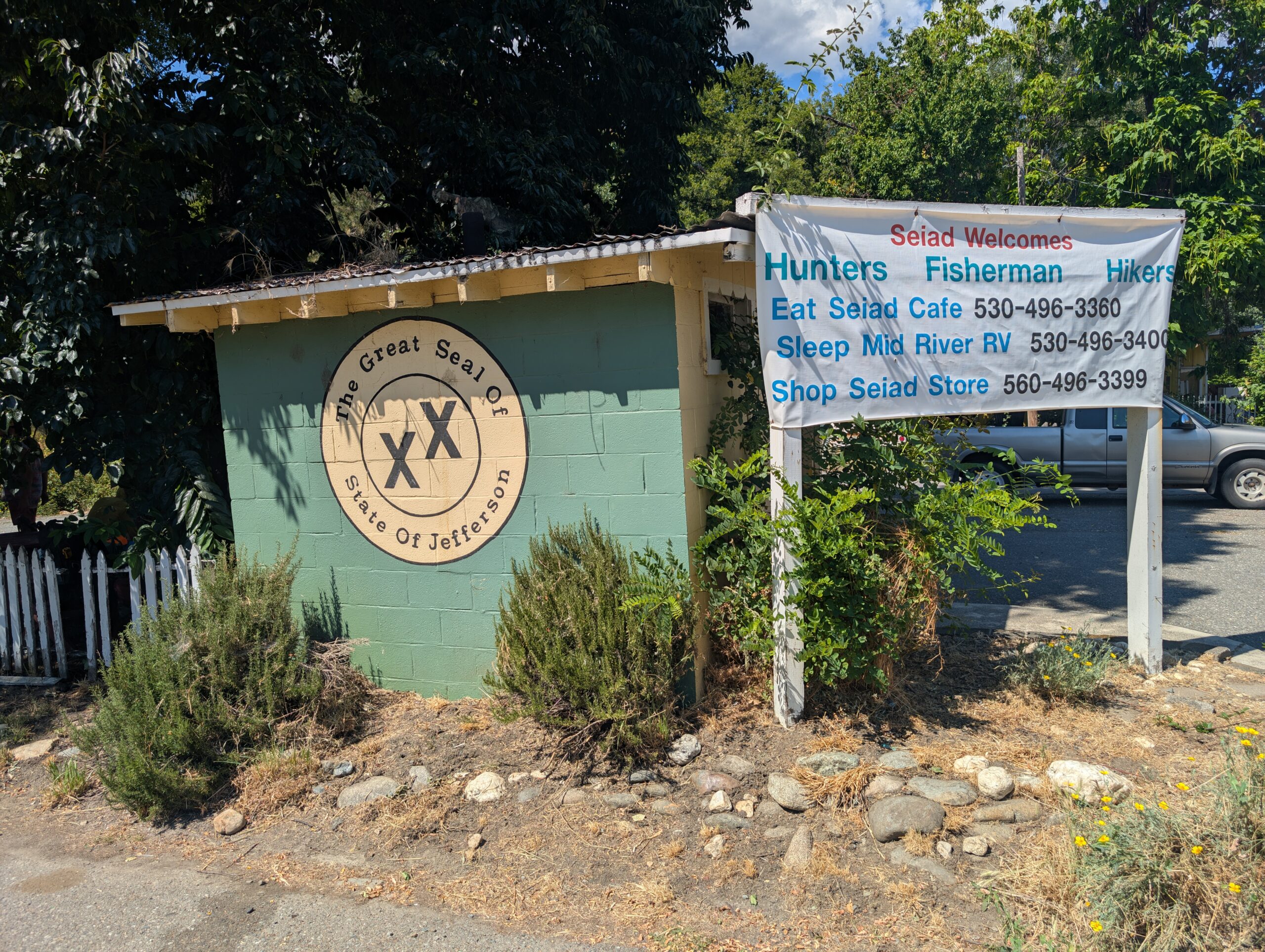
We hung out with the crew of hikers on some picnic tables outside, Juke Box, Stag, Cheesehead, Mother Hen, all of them good people. It was here that we all celebrated entering our second state! No, not Oregon. Seiad Valley was rather explicit in their secession from California, advertising themselves as proud members of the free state of Jefferson. They had Jefferson banners, road signs, flags, and even sold stickers. The movement is legitimate and their ideology is, if nothing else, interesting to read about.
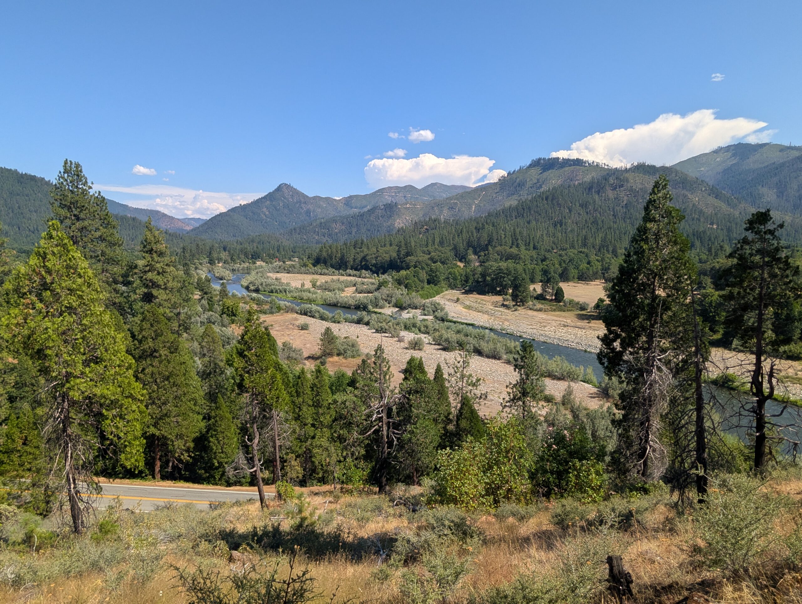
At 3:30pm, we left town and began one last butt-kicker of a climb in California. Or were we in Jefferson? I could not be sure anymore. In any case, the grade was steep and the weather was brutally hot. The only water source along the way was a trickling spring, swarming with wasps, that took six minutes to fill a liter. In due time, we made it to the top and stopped to camp.
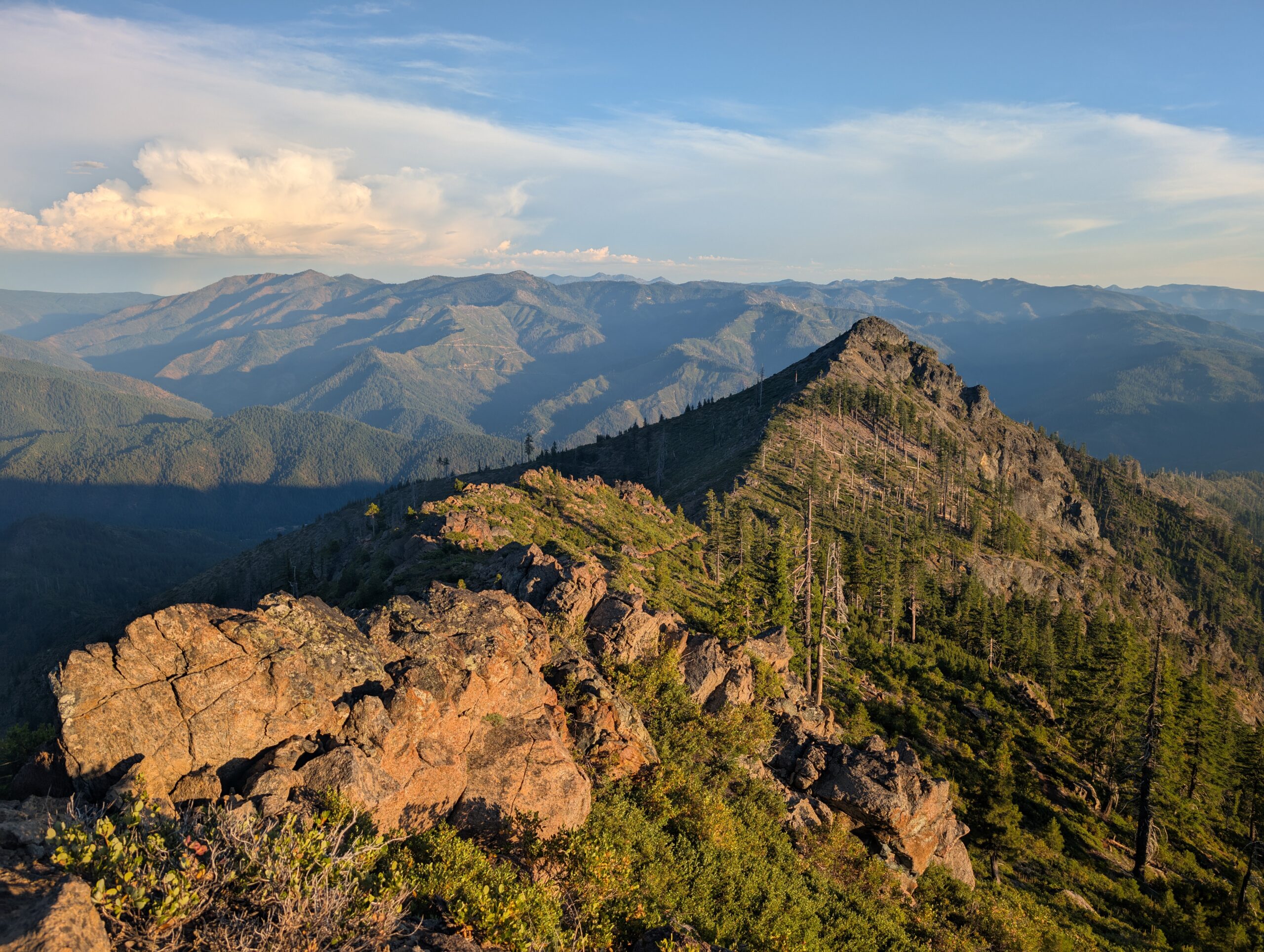
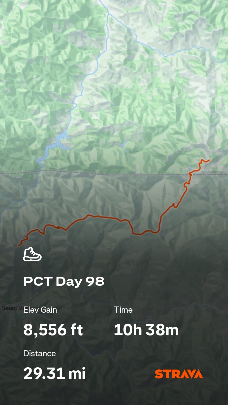
7/26 – Day 98
29.1 miles from Kangaroo Spring to Siskiyou Summit Rd
July 25s: 17
The day began with solving crossword puzzles, of which Spout scribbled down the letters while hiking. We are improving at solving them, but still find ourselves shut down by outdated pop culture clues.
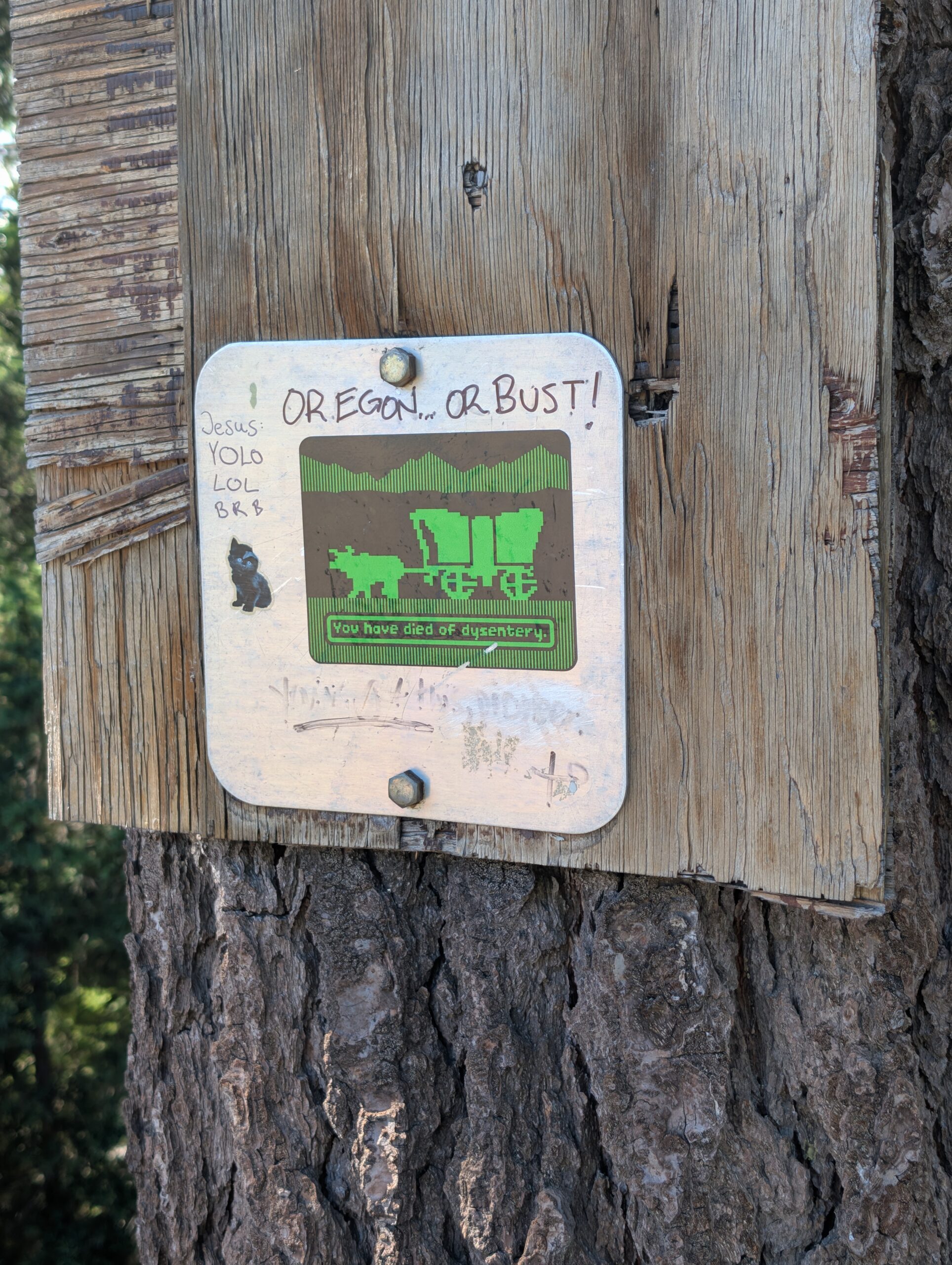
When we were done with the word game, we listened to some podcasts that later sparked a discussion on visualizing goals and values. Thru-hiking is a mental challenge and seems to reiterate the lesson that the only limitation to what is possible is our minds. If we are unable to visualize what we want to achieve in life, we will find ourselves going through the motions in autopilot, allowing our environment to dictate our actions and emotions, and never progressing towards a goal that was has never actually materialized.
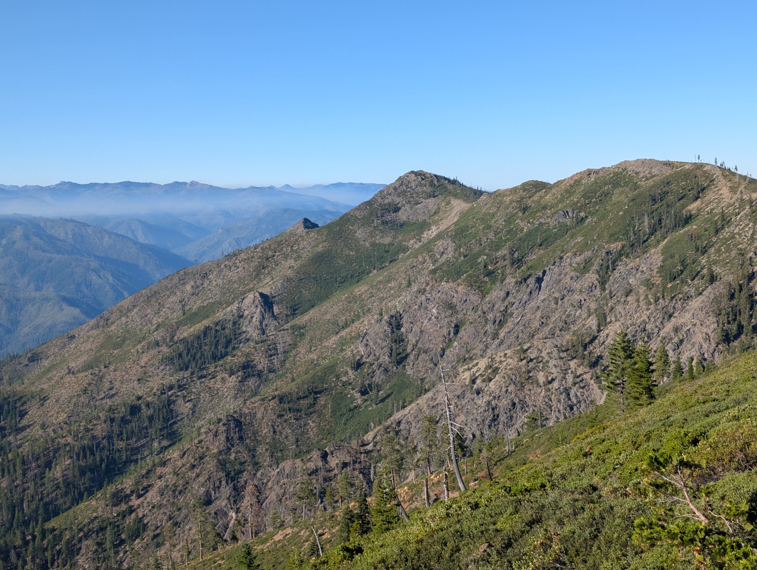
Some comedic relief followed, as the trail brought us to Alex Hole Spring. No further comment. We took a short lunch, then continued on. We were not interested in stopping until we reached the border. This much, we felt we had earned.
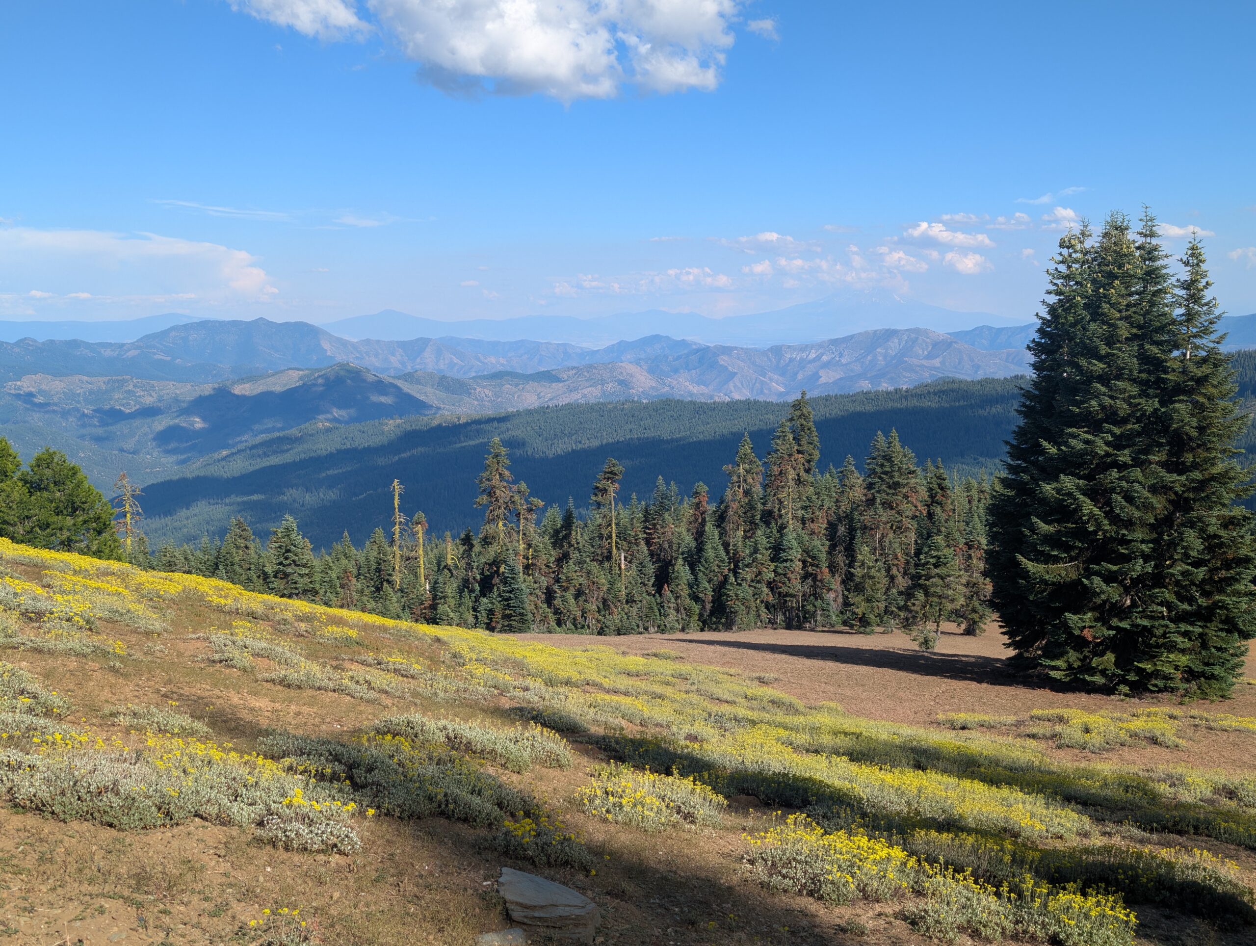
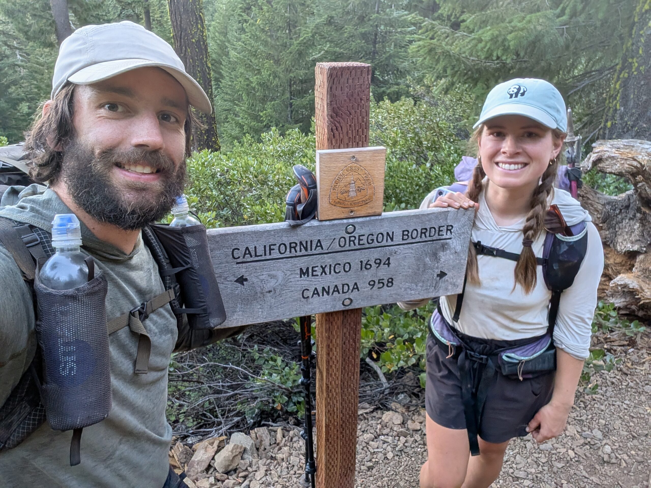
Around 7:30pm, we climbed up a hill to the state line and officially stepped into Oregon! This was perhaps the most significant milestone of the PCT. Nearly 1,700 miles were behind us with a total of 98 days spent trekking across California. From the border of Mexico, we walked along a continuous footpath every single step of the way.
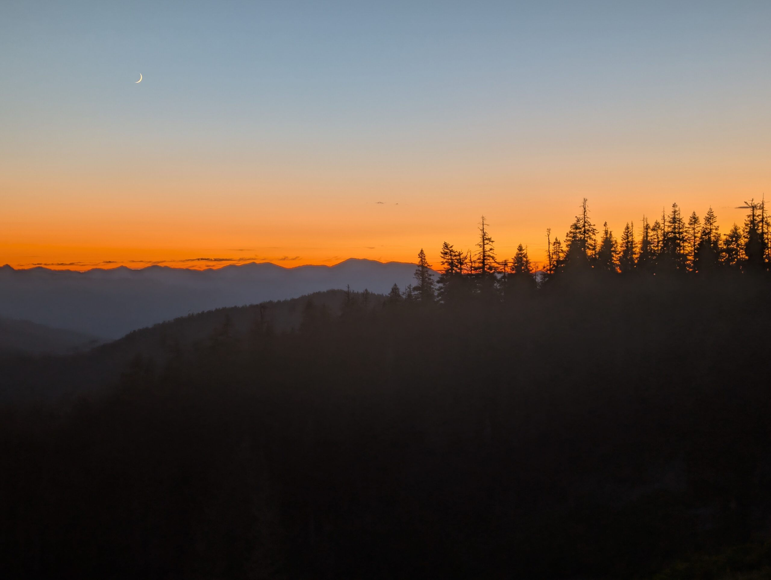
To celebrate, we ate beans at the next campsite, but added so much water that it was effectively soup. It did not matter, we felt so accomplished that we kept hiking for three more miles into the night. Our first view of the Beaver State was a vibrant sunset that set the trees ablaze.
7/27 – Day 99
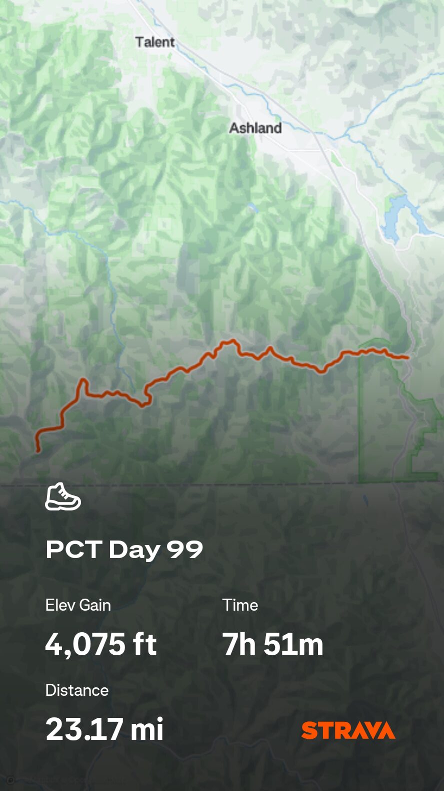
22.6 miles from Siskiyou Summit Rd to Ashland, OR (Timbers Inn Motel)
July 25s: 17
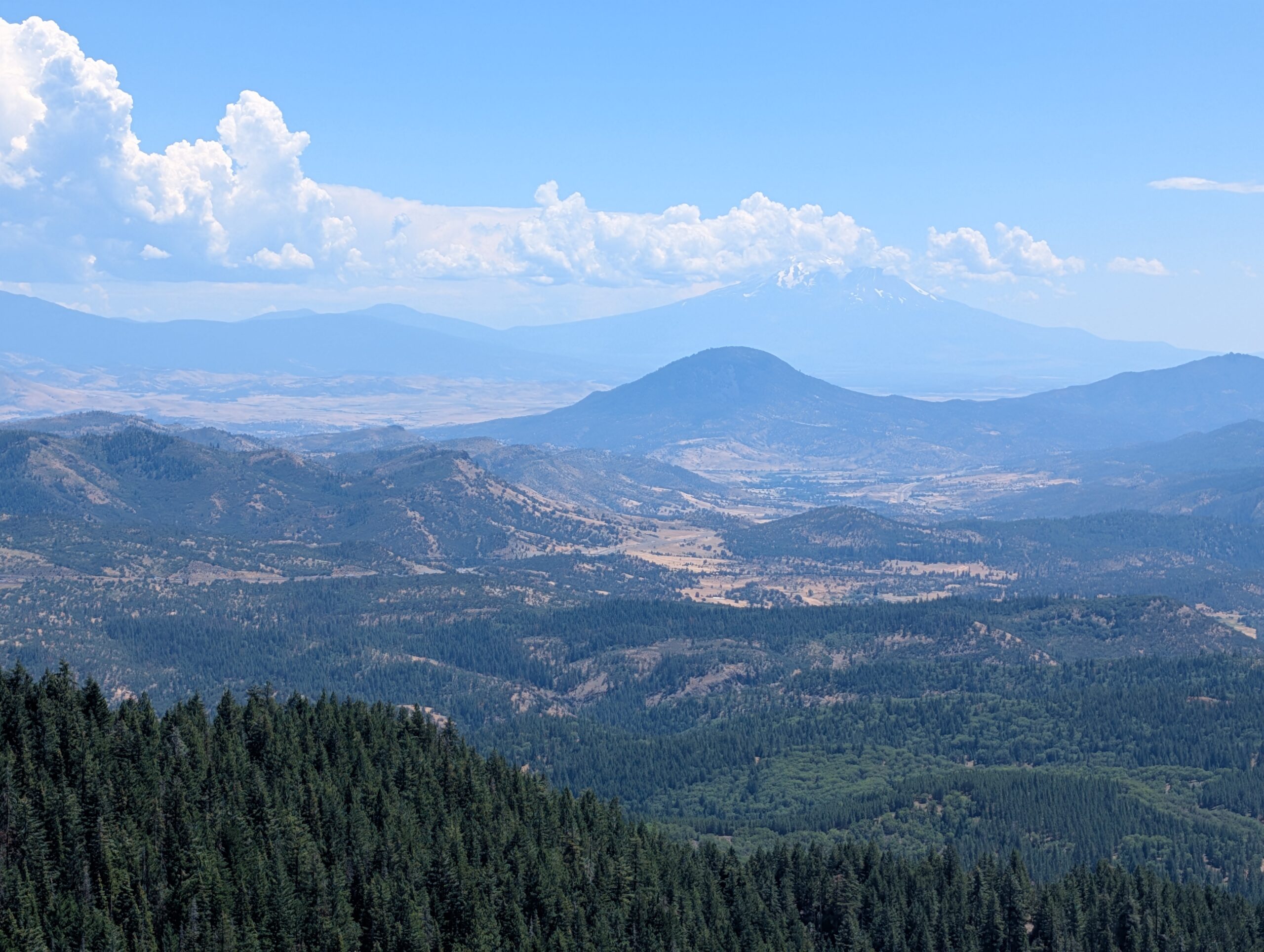
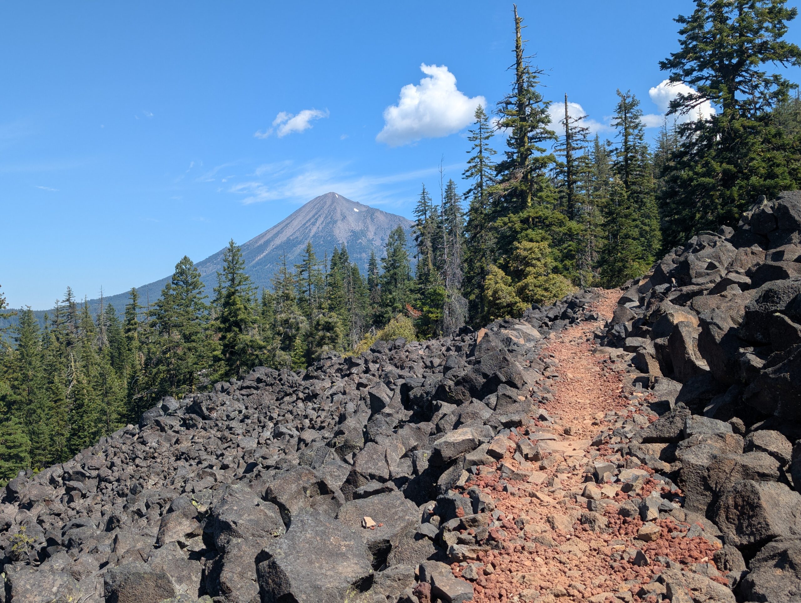
It always seems that crossing into a new state, despite how arbitrary it is in reality, has a new aura. Just being in Oregon felt ever so slightly different than the woods of Jefferson California, but the change was barely perceptible. We traversed rolling hillsides with scattered patches of green or brown grass and saw the prominent Mt. Ashland shrouded by clouds in the distance.
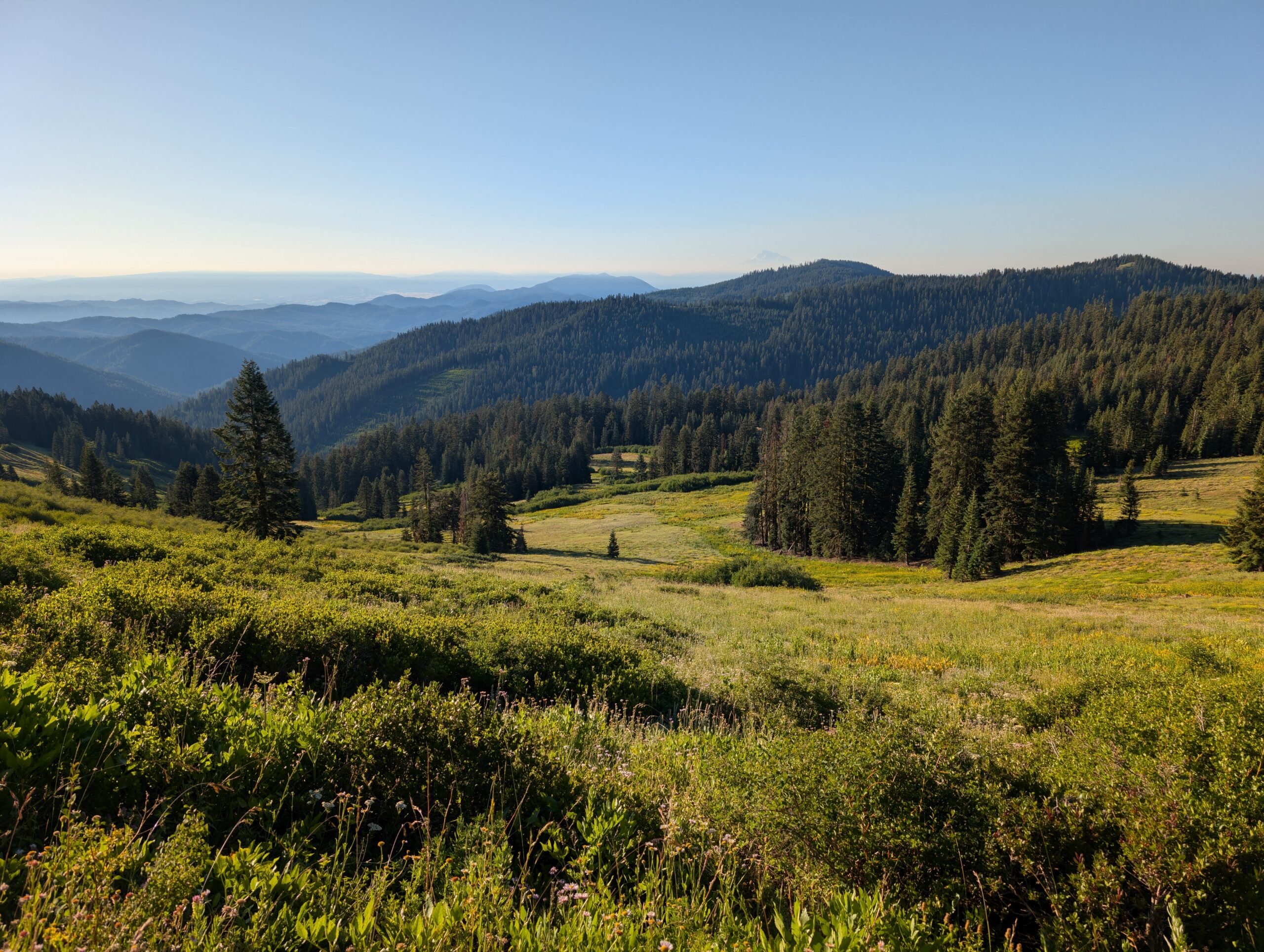
The weather was ideal, actually chilly enough to wear our windbreakers in the morning. There were several parking lots on the route and since it was a beautiful Sunday afternoon, we ran into dozens of friendly day hikers who came out to enjoy a walk through the wildflowers. One couple asked if some random hiker ahead of us was our dad.
The only break of the day was at a cooler stocked with sodies labeled, “For Long Distance PCT Hikers’. We enjoyed the trail magic left by some kind soul, then kept hauling it to the road. I shared one headphone with Spout so we could listen to some podcasts together.
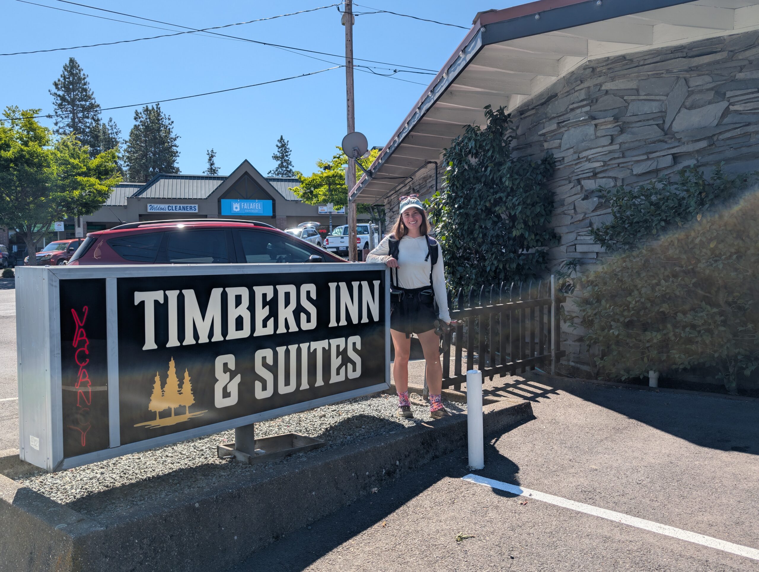
We reached the interchange around Highway 5 just after 4:00pm. Putting away 22 miles this early in the afternoon was one of our strongest paces to date. We even scored a second car hitch once we followed the road to the entrance ramp near Callahan’s. The lovely group of elderly day hikers took us all the way to the Timbers Inn Motel in Ashland, OR.
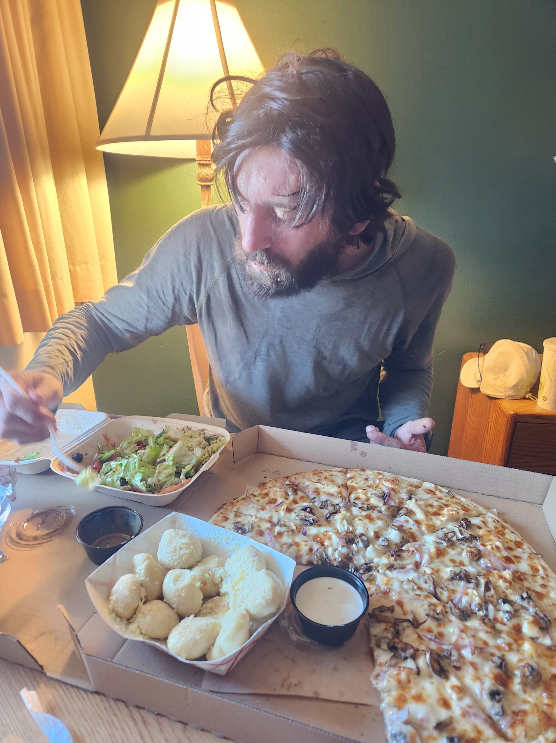
My fantasy of eating Domino’s pizza collapsed when I found out they would not deliver from Medford. Instead, l was forced to a support the local, Great American Pizza Company, which was likely far superior anyway. Cable television and a big, buttery bowl of garlic “dough-knots” hit so much harder after a long day of hiking.
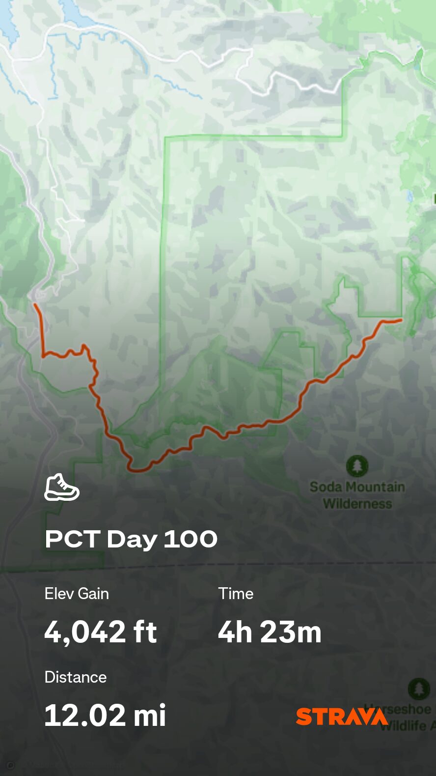
7/28 – Day 100
12.4 miles from Ashland to Piped Spring
July 25s: 17
Happy Day 100! It was 100 days since we first stuck our greasy fingers through the Mexican border wall. Unlike normal life where the time smears like the landscape from a moving train, thru-hiking locks you to the present. The desert truly felt like another lifetime ago.
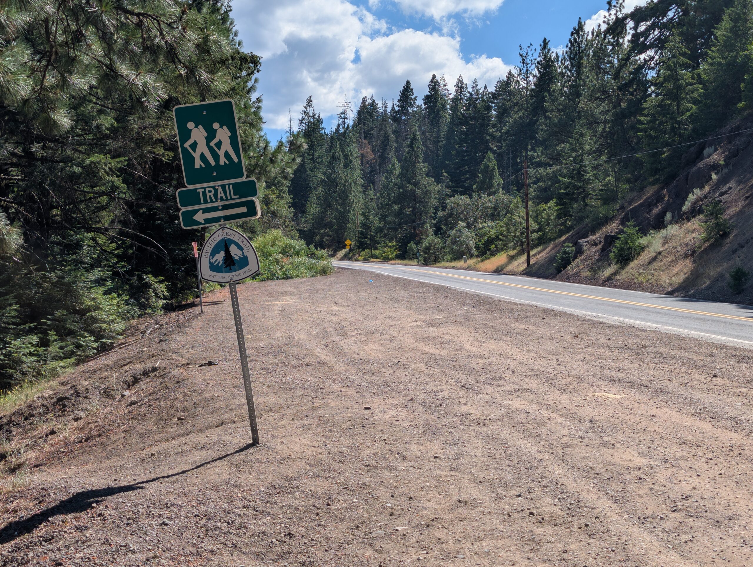
As usual, the day began with coffee. This time at Remix Coffee Bar, as recommended by our hitch driver who proudly informed us that his daughter was the lead pastry chef. Afterwards, we went to the laundromat, ate second breakfast at Little Shop of Bagels, and finally resupplied at Market of Choice. Ashland was clearly a health oriented city and the grocery store offered a wide array of organic food, CBD drinks, and odd, mushroom-based beverages.

We hung out with our friends Lemon and Linguini for a while outside the store. When they left to get back on trail, we went to Starbucks, arguably the best place to loiter, utilize free wifi, and charge up. We met another cool hiker named No Rush there and ended up hitching back to trail with him around 3:00pm.
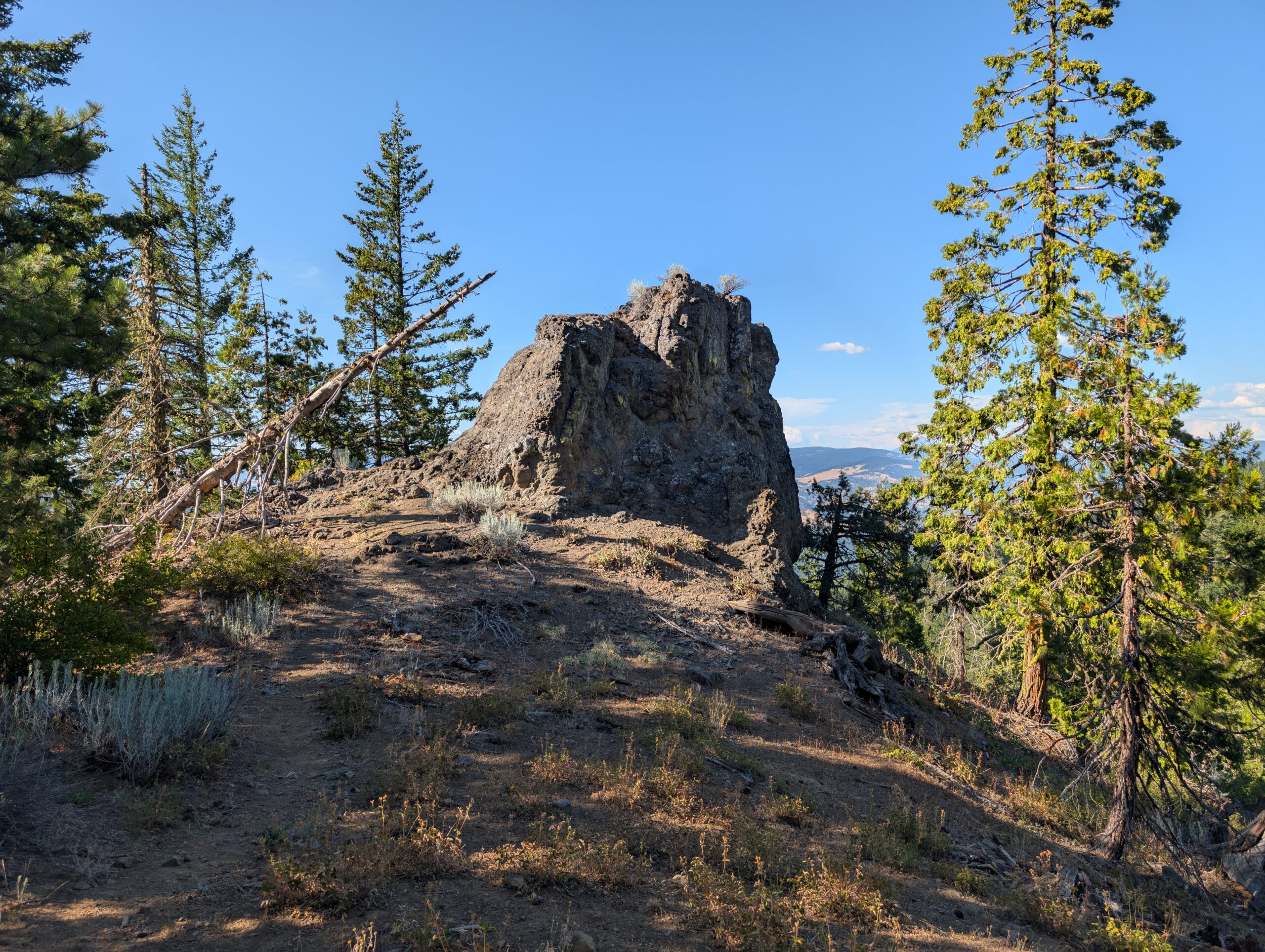
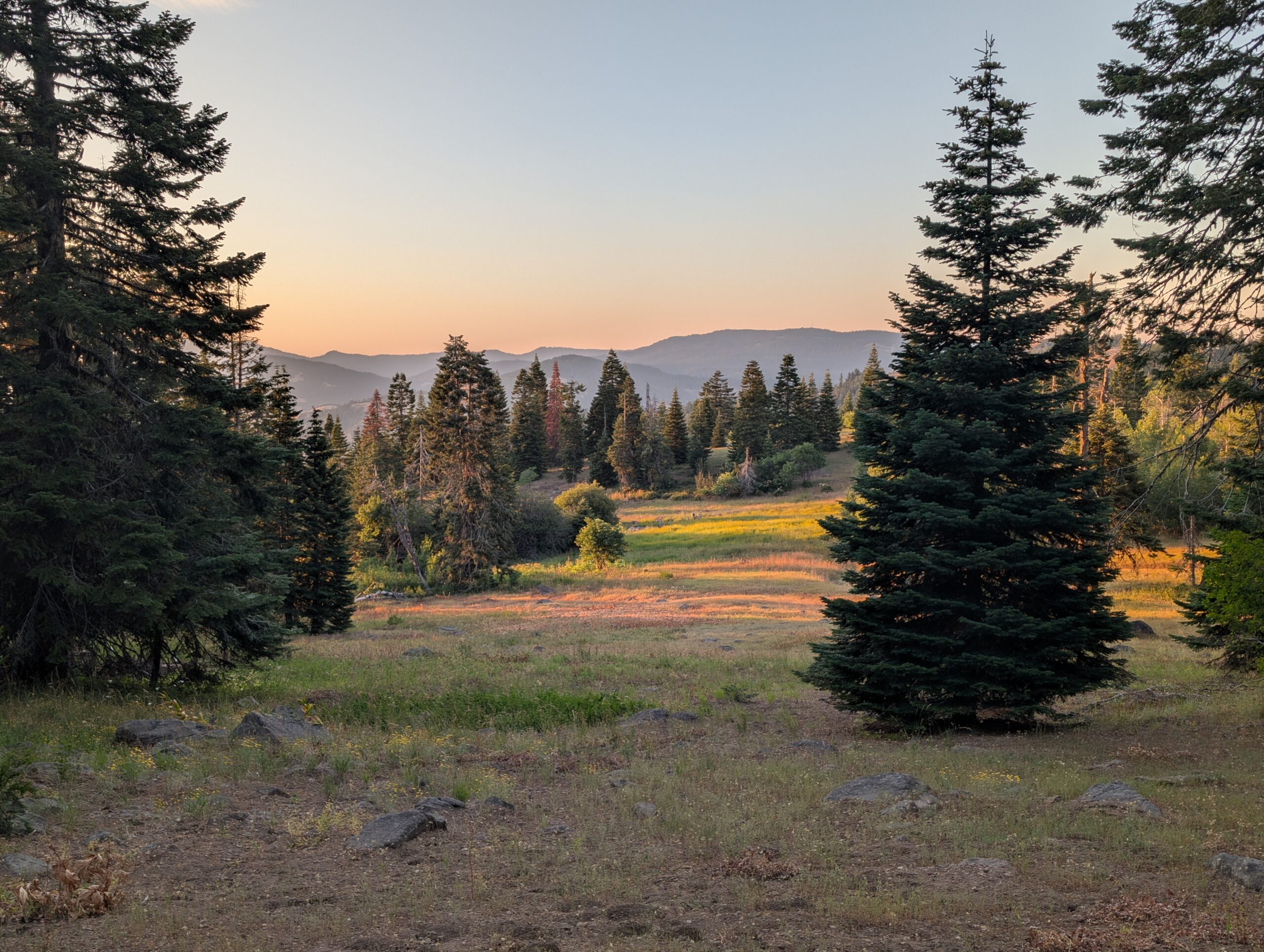
The afternoon hike was pleasant. Instead of a monstrous climb away from town like there usually was, we found only a few small hills with distant views of Oregonian volcanoes. We ate our leftover pizza next to a piped spring, then settled at a campsite by 8:00pm.
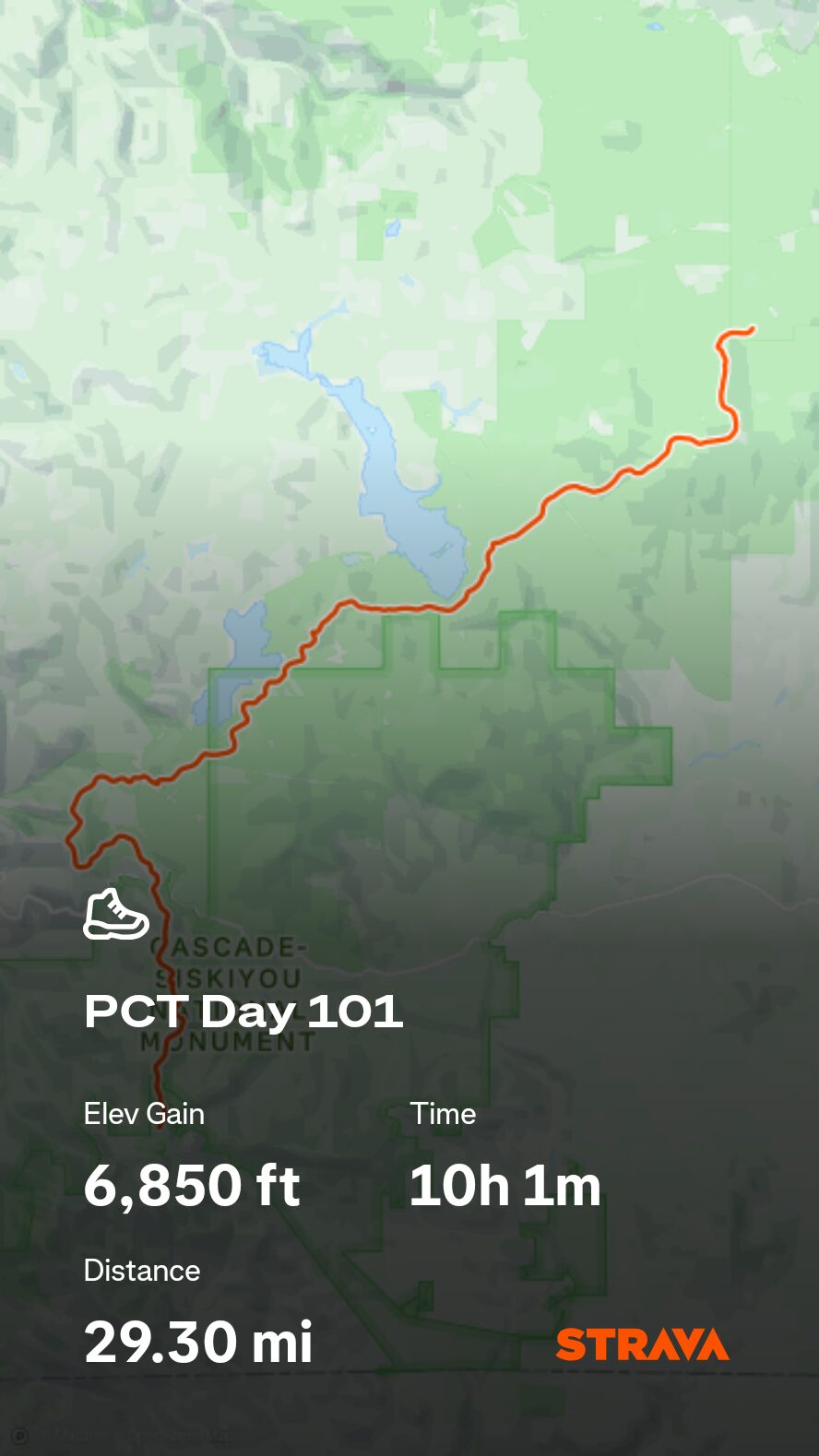
7/29 – Day 101
29.5 miles from Piped Spring to Burton Flat Road
July 25s: 18
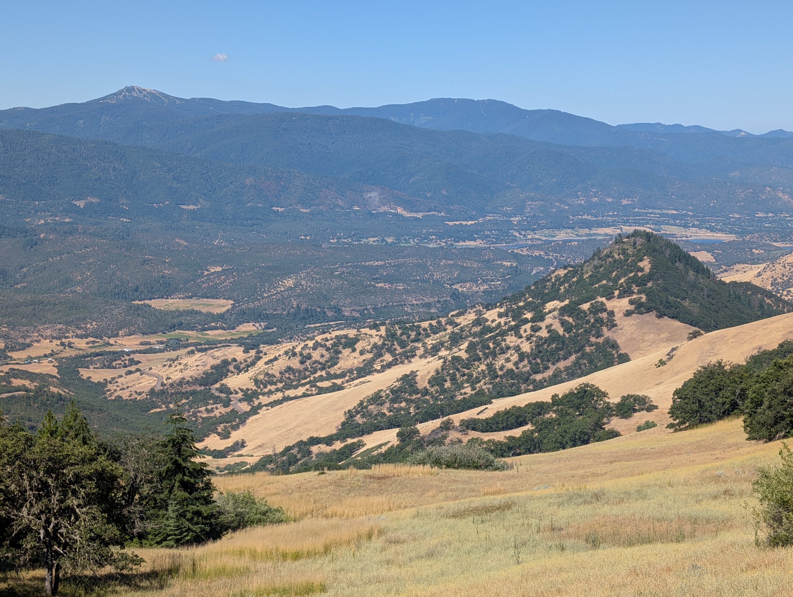
The Oregon terrain has been notably flatter and easier than its predessor. However, when the big climbs disappear, so often do the big views. We hiked through dense conifers throughout the afternoon. It was honestly quite relaxing to be protected within the green tunnel. Of course, we did not encounter any hikers complaining that the trail was too easy.
We took lunch at Grizzly Creek and were approached by a friendly couple and their dogs. They were interested in the PCT and gave us a familiar spiel about the reasons they could not hike it, despite it being a supposed dream of theirs. I like to think we inspired them to give it a shot by time the conversation wrapped up. Just like everything in life, it comes down to prioritization of values. However that may look, just go for it.
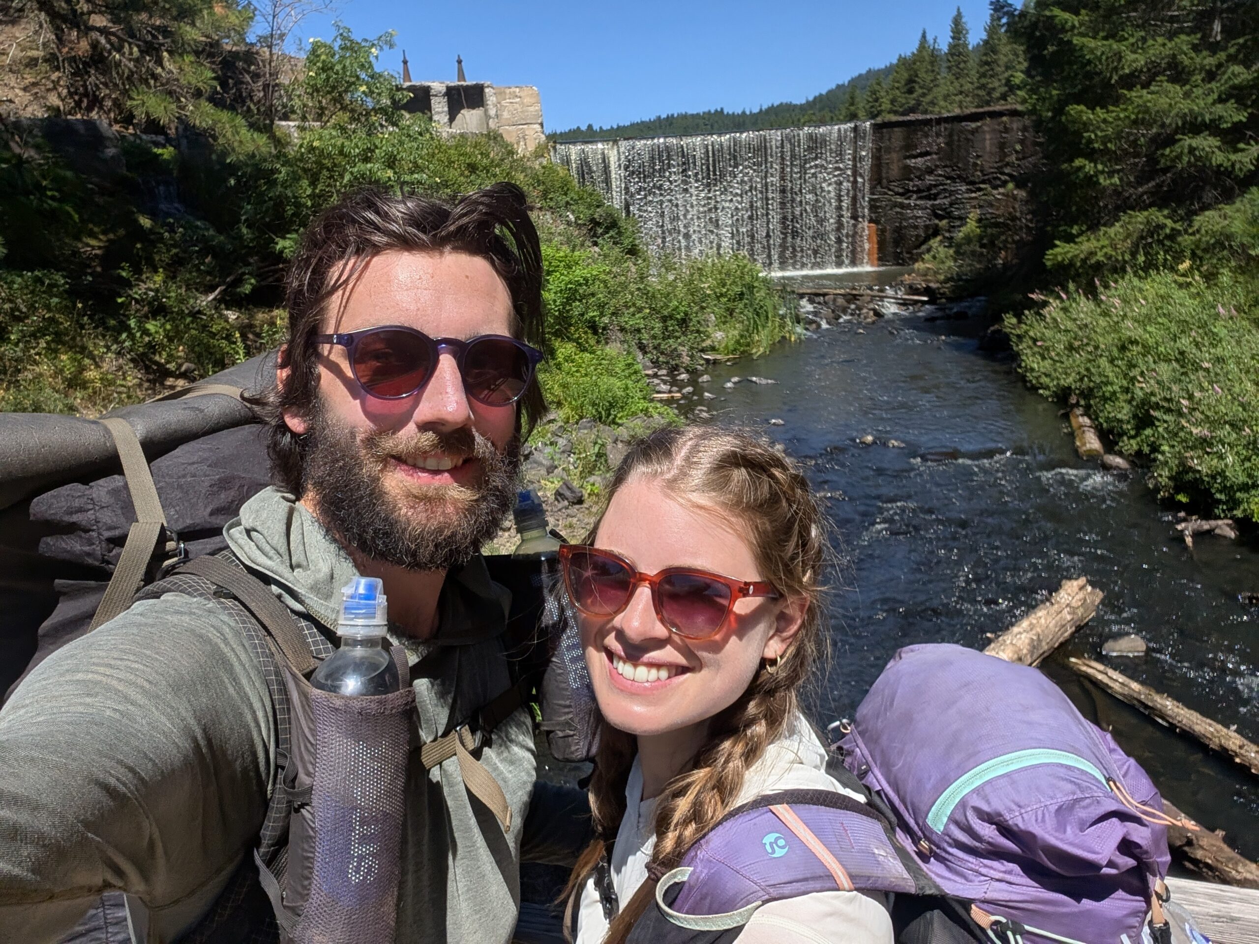
A dozen uneventful miles followed. Now that Spout had her own pair of headphones again, I resumed listening to audiobooks for a few hours each day. We made backcountry burritos on trail for dinner, this time with squeezeable guacamole and Fritos. They were absolutely delicious.
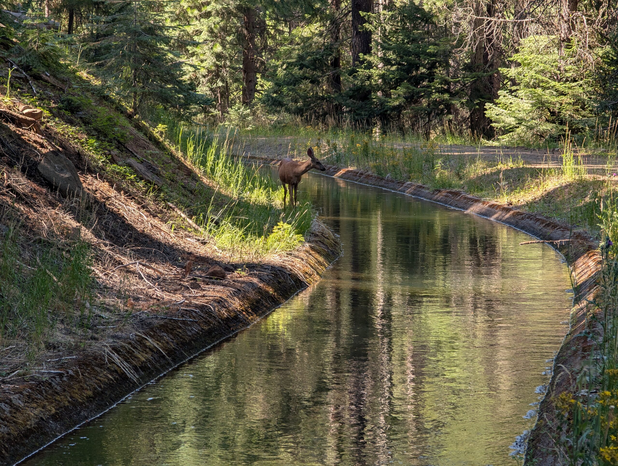
We passed one of those random, premier tent sites on the side of the trail that we always seem to find too early in the day to justify stopping, except this time it arrived right as we were ready to throw down our trekking poles anyway. The mosquitos were out in force, so our setup was lightning fast.
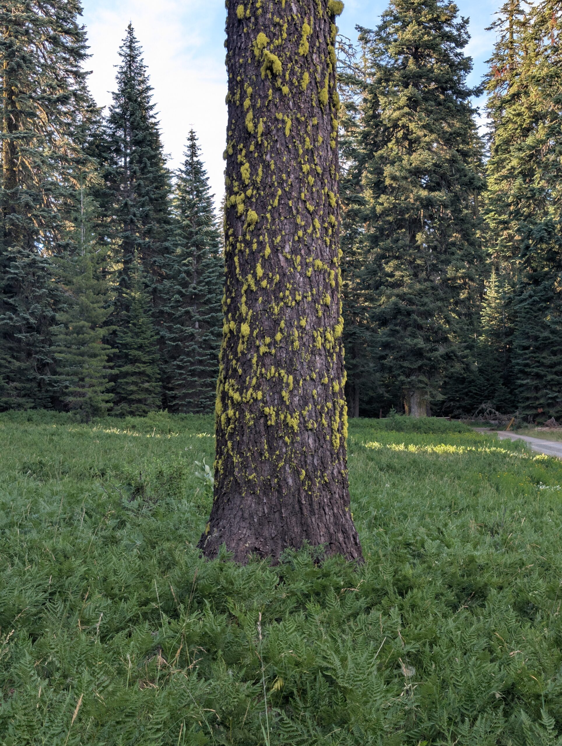
Overnight, actual lightning flashed violently all around us, but only resulted in a light sprinkling of rain. The bone-rattling boom of thunder invoked a primal fear unlike anything else I have encountered in nature. Laying at tent in the middle of nowhere, completely at the mercy of a storm that could continue to escalate, and praying that Zeus does not have any reason to be displeased with how far we hiked today… We slept just fine.
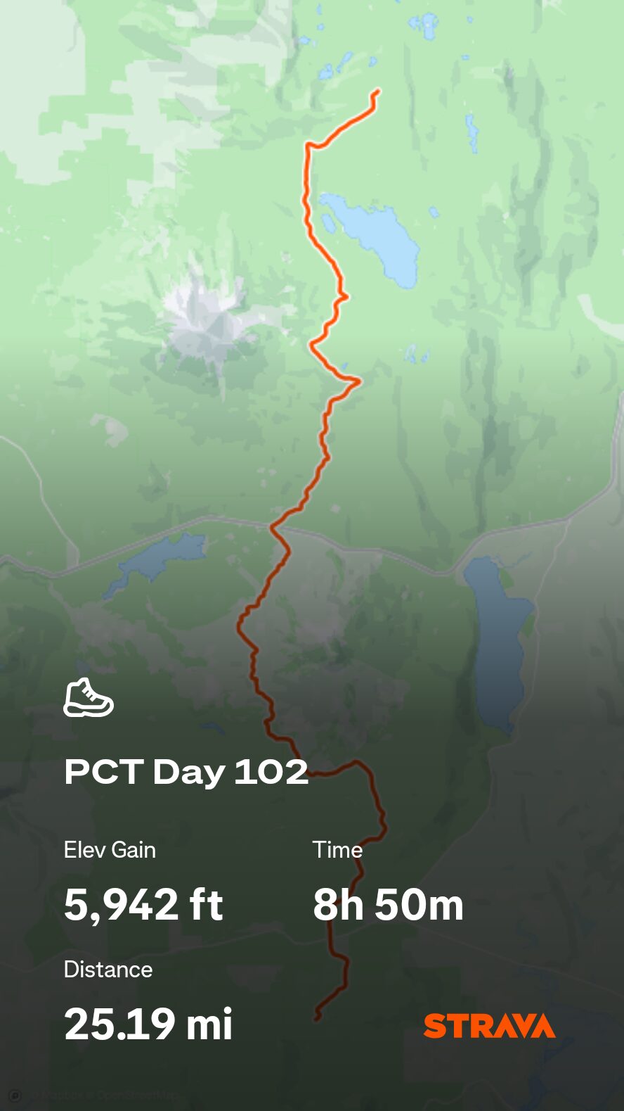
7/30 – Day 102
25.4 miles from Burton Flat Road to Christi’s Spring
July 25s: 19
Three rounds of snoozing led to a later than desired start, but we did not really care. The suppressed hills made for such cruisey hiking that we could now handle traveling twelve miles without breaks, no sweat. On occasion, we caught breaks between the trees overlooking vast seas of evergreen.
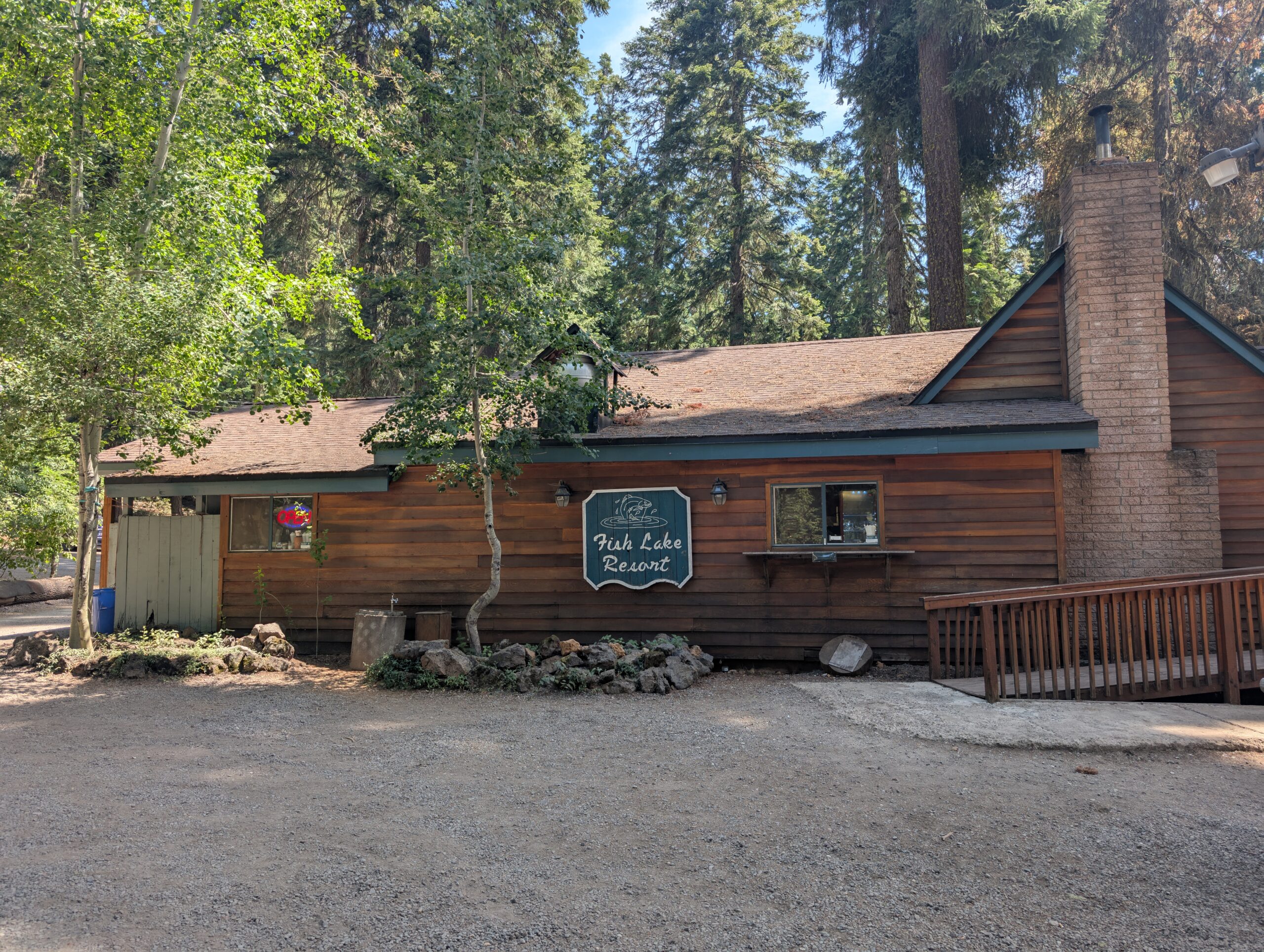
As lunchtime rolled around, we came to Lake of the Woods Highway and decided on a whim to hitch two miles west to Fish Lake Resort for some hot food. Smoke if you got ’em. These types of “resorts” are scattered throughout the Oregon section of the PCT. They are really just glorified campgrounds with some basic lodging, a small general store, and a cafe. This one had an espresso bar with gelato ice cream, which was nice.
Around 2:00pm, we headed back to the road and, unable to score a ride, had to walk two miles to reach the PCT. One off trail mile was equivalent to seven on the red line, sorta like dog years. This meant our little snack break costed an extra half day of hiking.
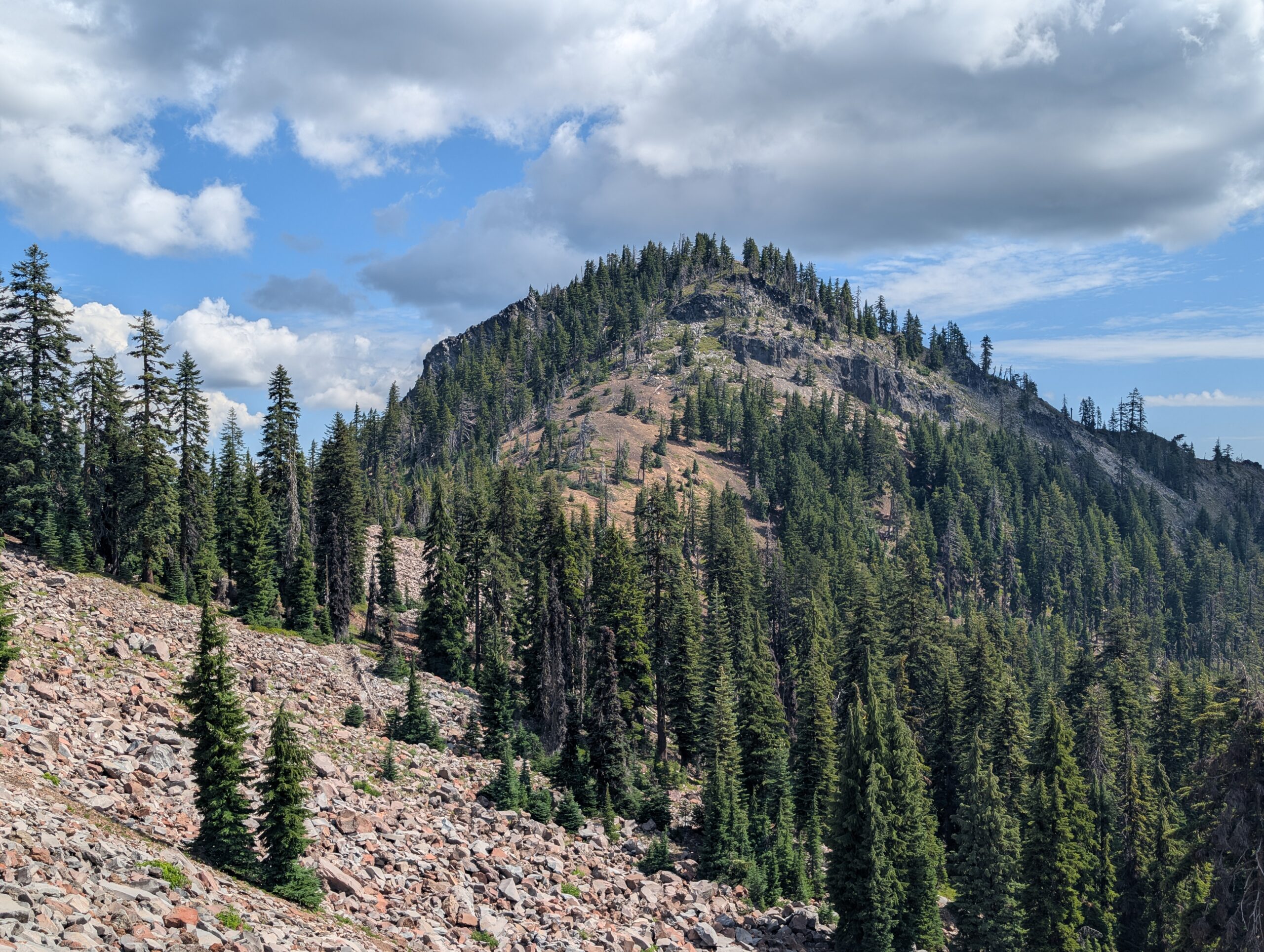
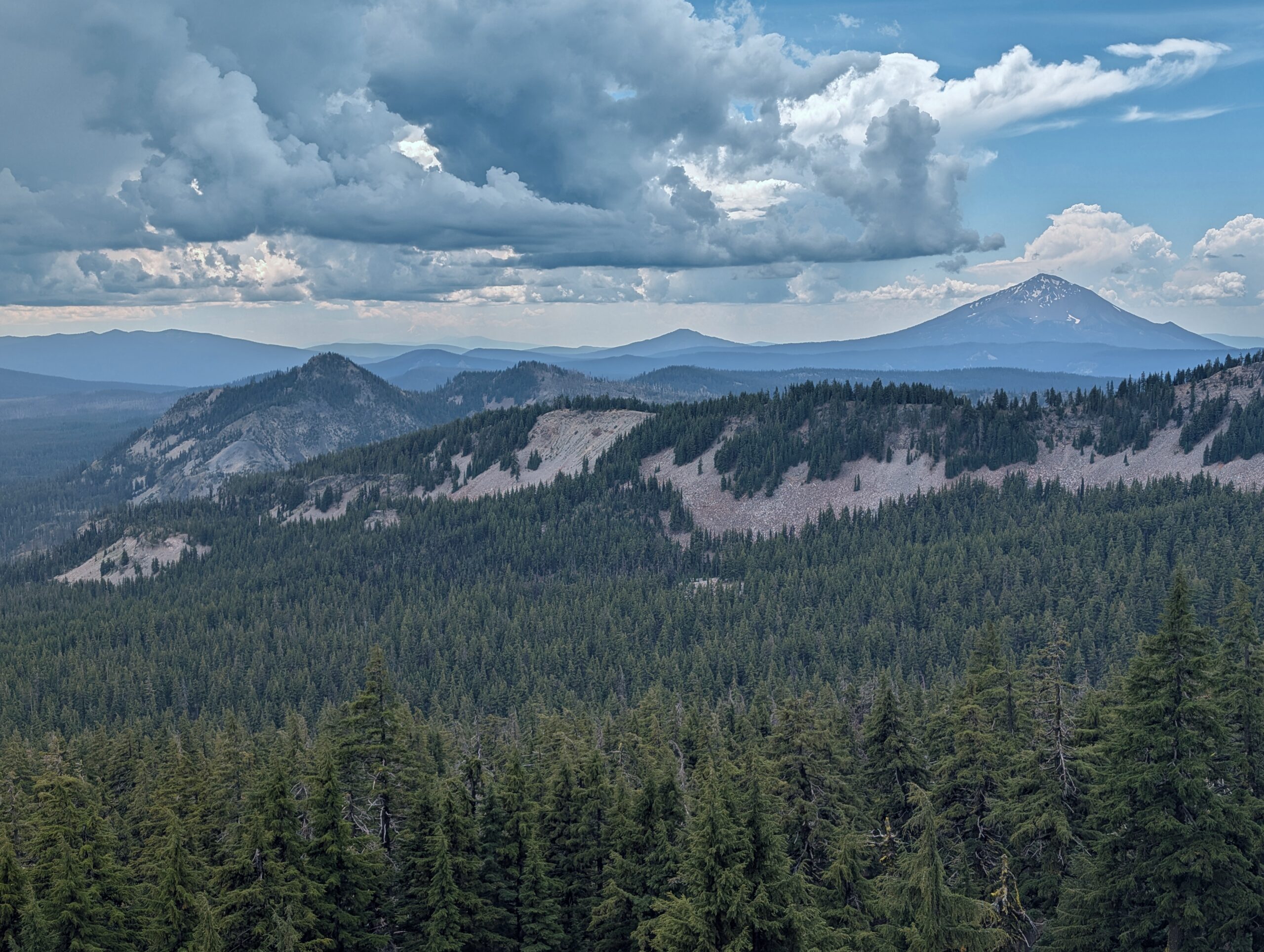
The storm that was flirting with us the night before reformed before our very eyes. Though still a far cry from the eastern washouts we were used to, enough precipitation followed to consider it a legitimate thunderstorm. If nothing else, it kept the mosquitos at bay as we made a modest climb up a hill with fleeting views of Mt. McLaughlin.
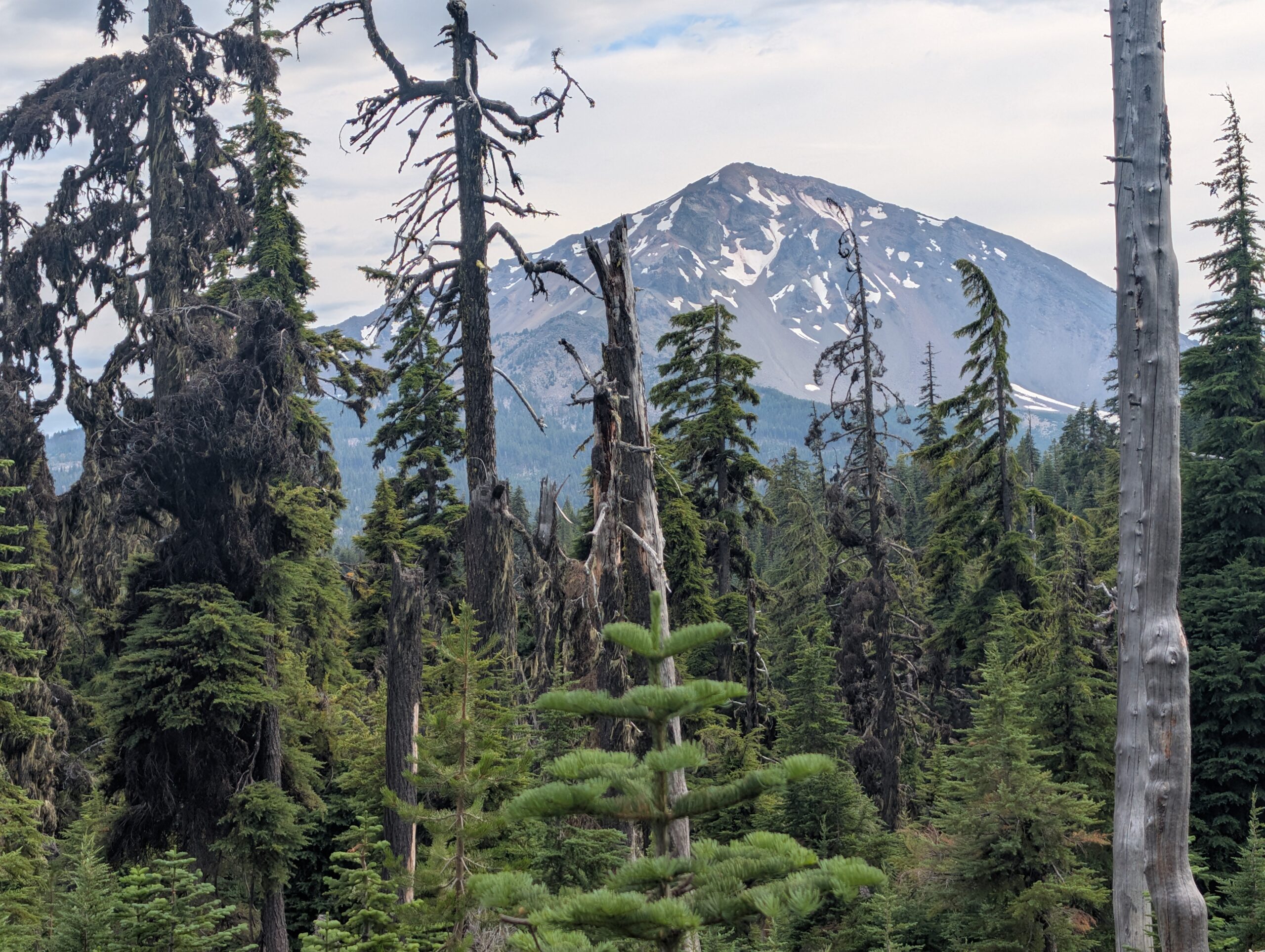
Once the rain cleared, the bugs rolled in. The last handful of miles required a blood sacrifice to proceed. Typically, mosquitos do not bother me while actively hiking, but these ones were different and had no problem attaching themselves to my shoulders as I moved. At length, we reached Christi Spring and hurriedly made camp for the night.
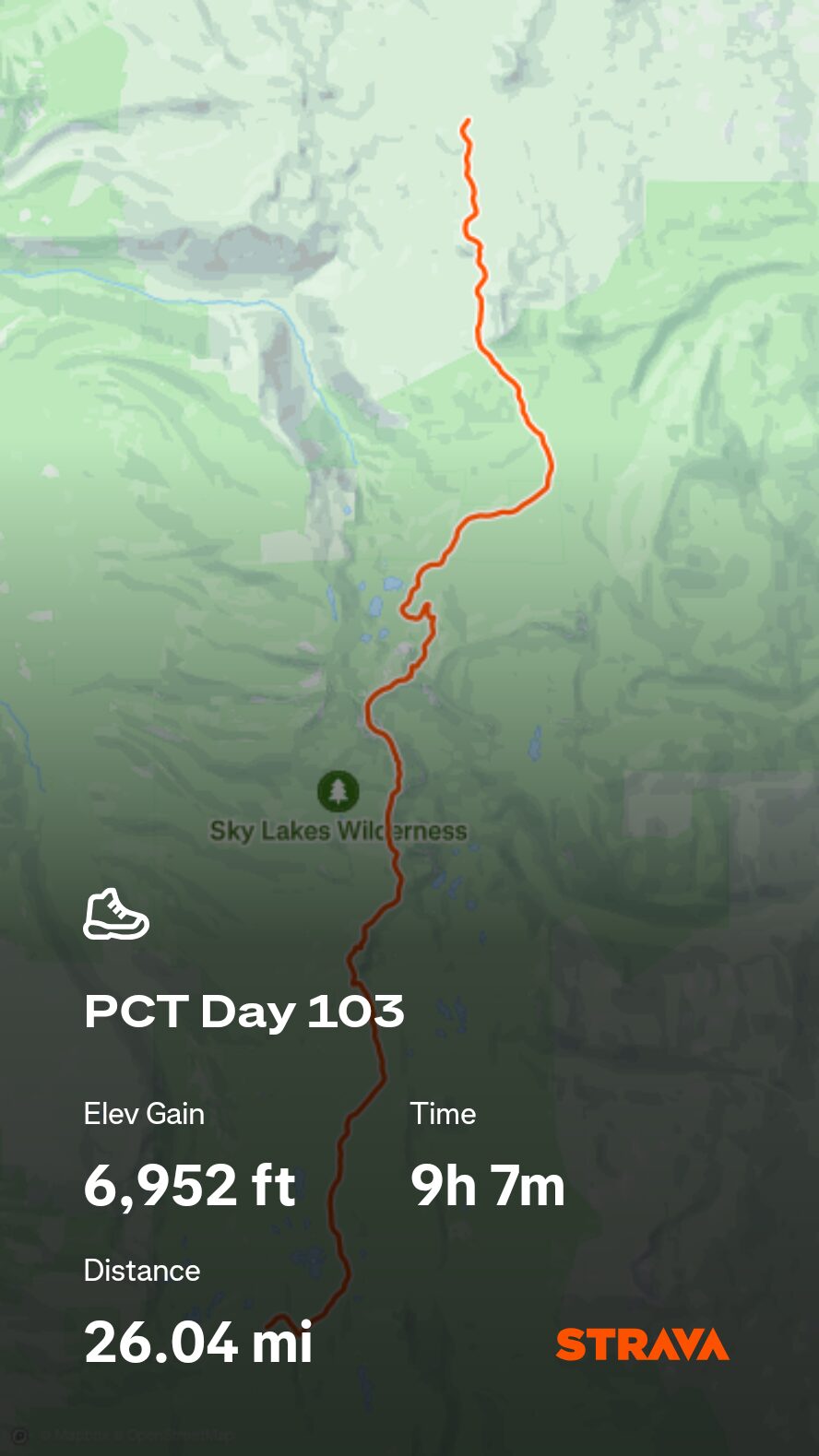
7/31 – Day 103
25.9 miles from Christi’s Spring to Dispersed Campsite
July 25s: 20
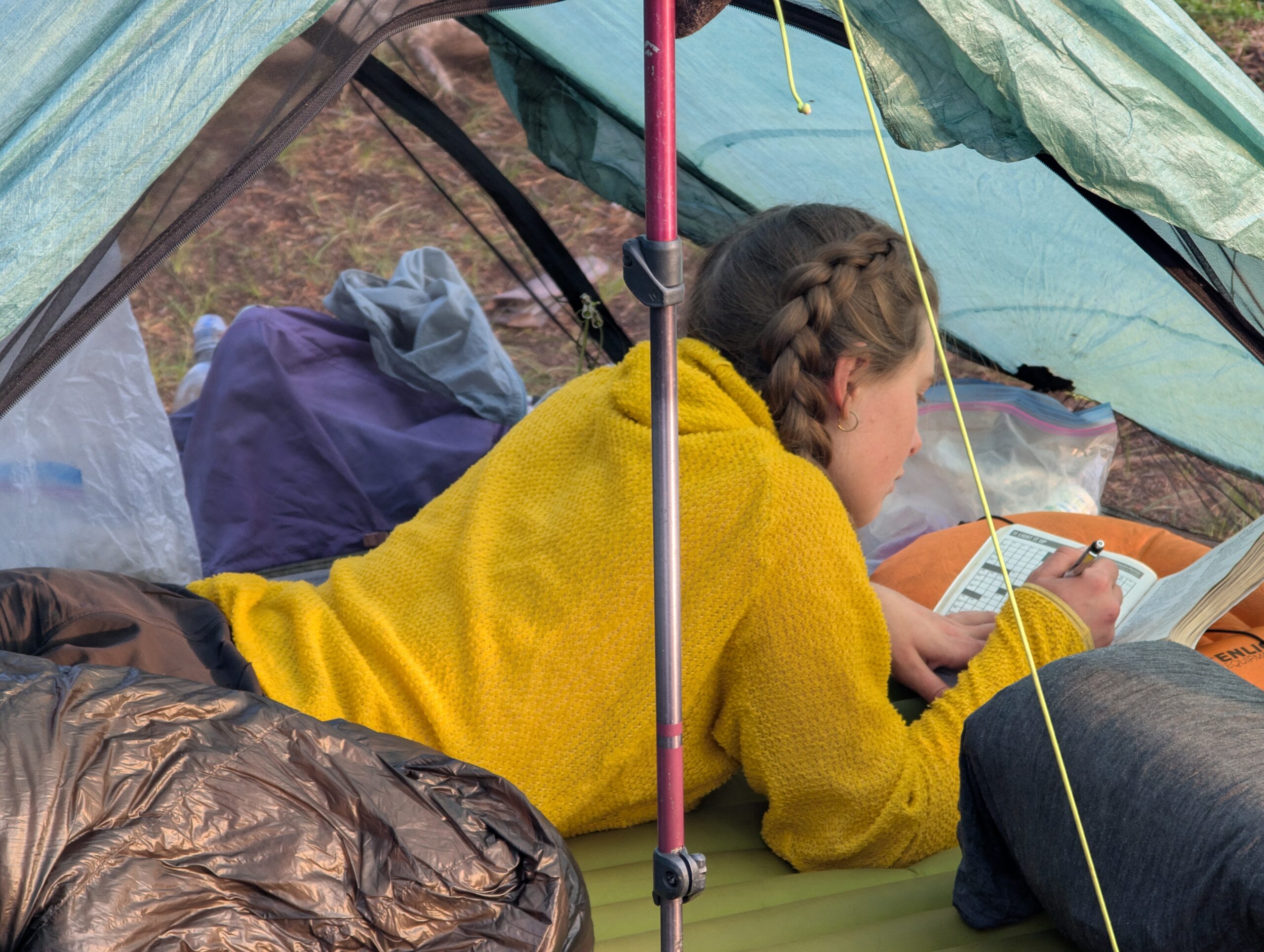
I abused the snooze button again in the morning. I caffeinated, packed up, then pulled out the crossword puzzle booklet for some morning relaxation with Spouty. Writing with a pen while walking is not easy. Honestly, crossword puzzles in general pair terribly with backpacking. I would not recommend. We have fun though.
The morning was sunny, as we had come to expect in Oregon. We hiked up to an exposed ridge teeming with California Tortoiseshell butterflies. From afar, we could already see the storm clouds gathering for the 2:00pm meeting in the boardroom. Now the third day in a row the skies have threatened us with static energy, we are realizing that Oregon’s bark is worse than its bite.
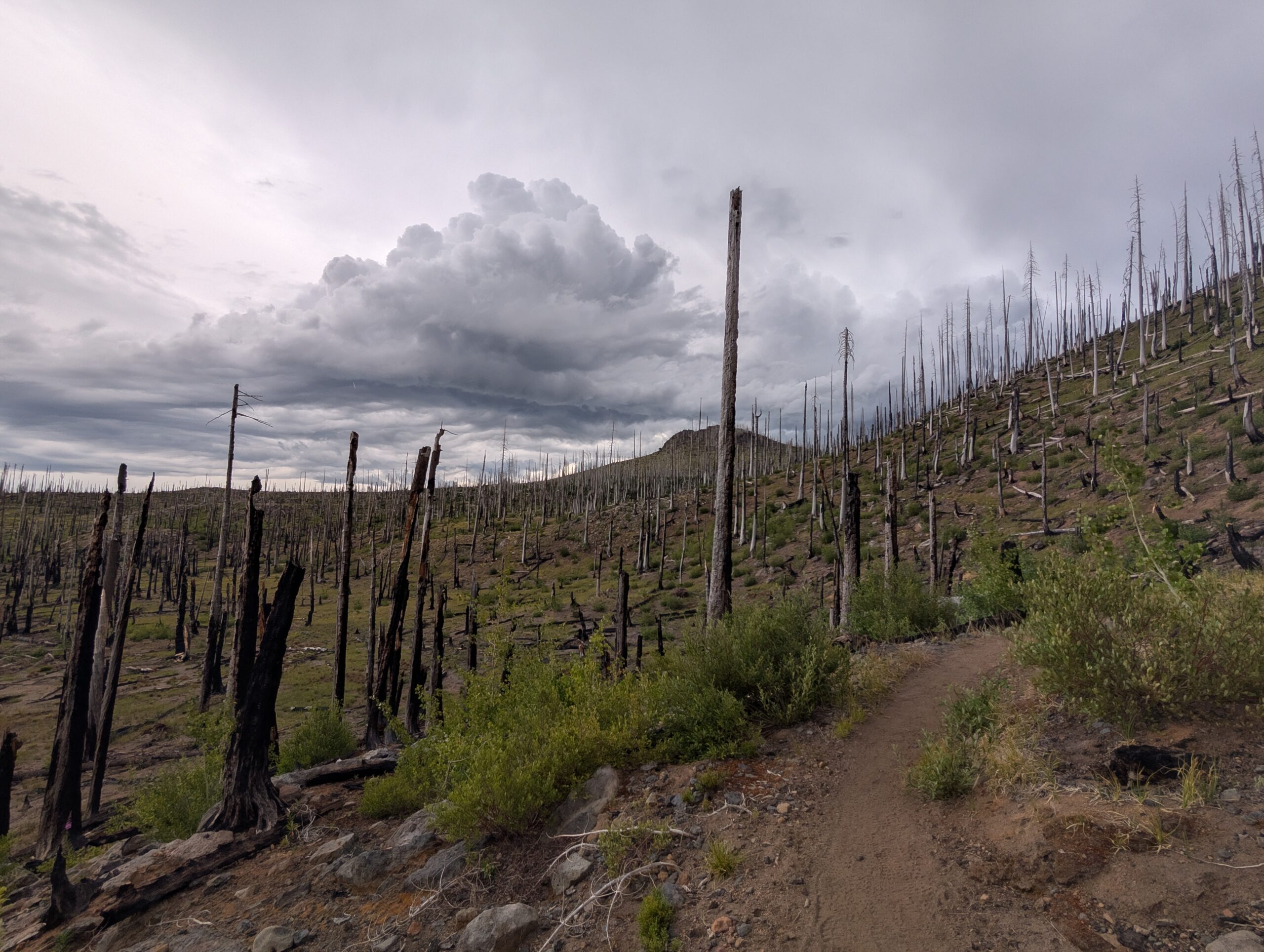
We cleared mile 1,800 a short while before entering a significant burn zone, apparently quite recent. From here, we staggered between half mile patches of healthy trees, followed by desolation. An encouraging sight were the vast fields of firs sprouting among the fertilized wasteland, saplings that were still shorter than me. I thought how beautiful it would be to return to this section of the trail when I am 80 years old to check how the youngsters were holding up.
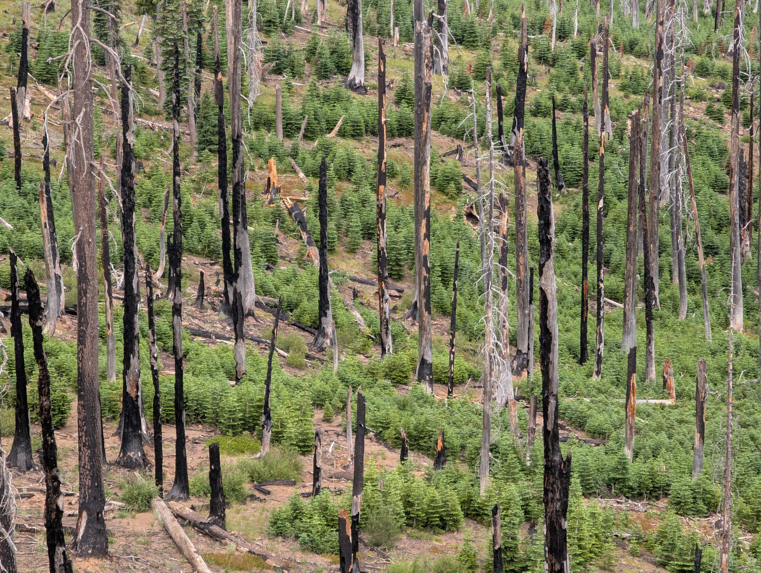
We made pretty great time into the evening, but thought it would be safest to stop before the burn scars grew more severe and choosing a campsite among the widow-makers would be like a crude game of Russian Roulette.
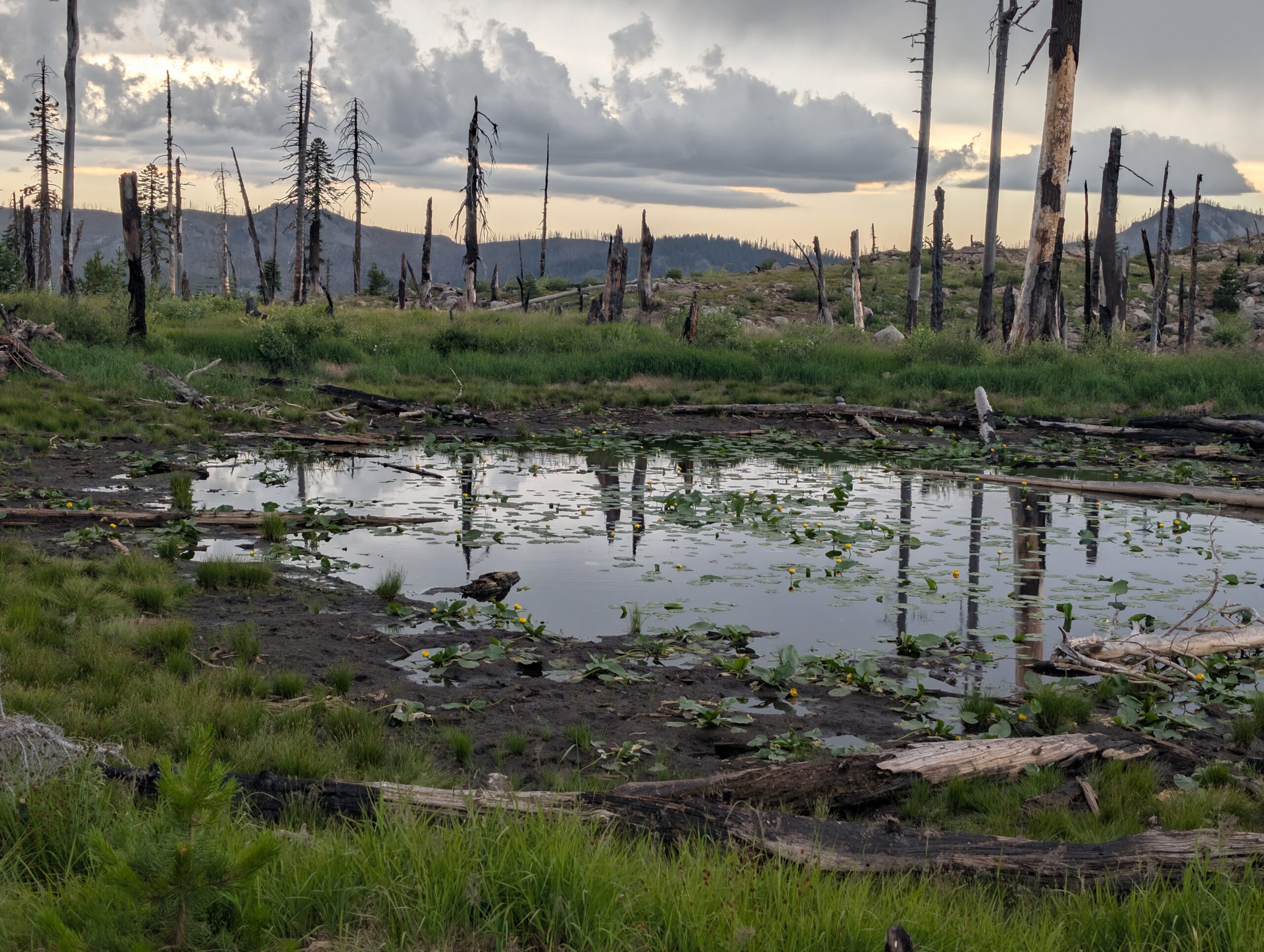
Today marked the end of a successful “July 20 25s” challenge! We hiked at least 25 miles for 20 days and even a couple of 30’s to boot. In total throughout July, we traveled 708 miles and I personally took 1,581,668 steps. This was the most we have ever traveled in a single month, by far.
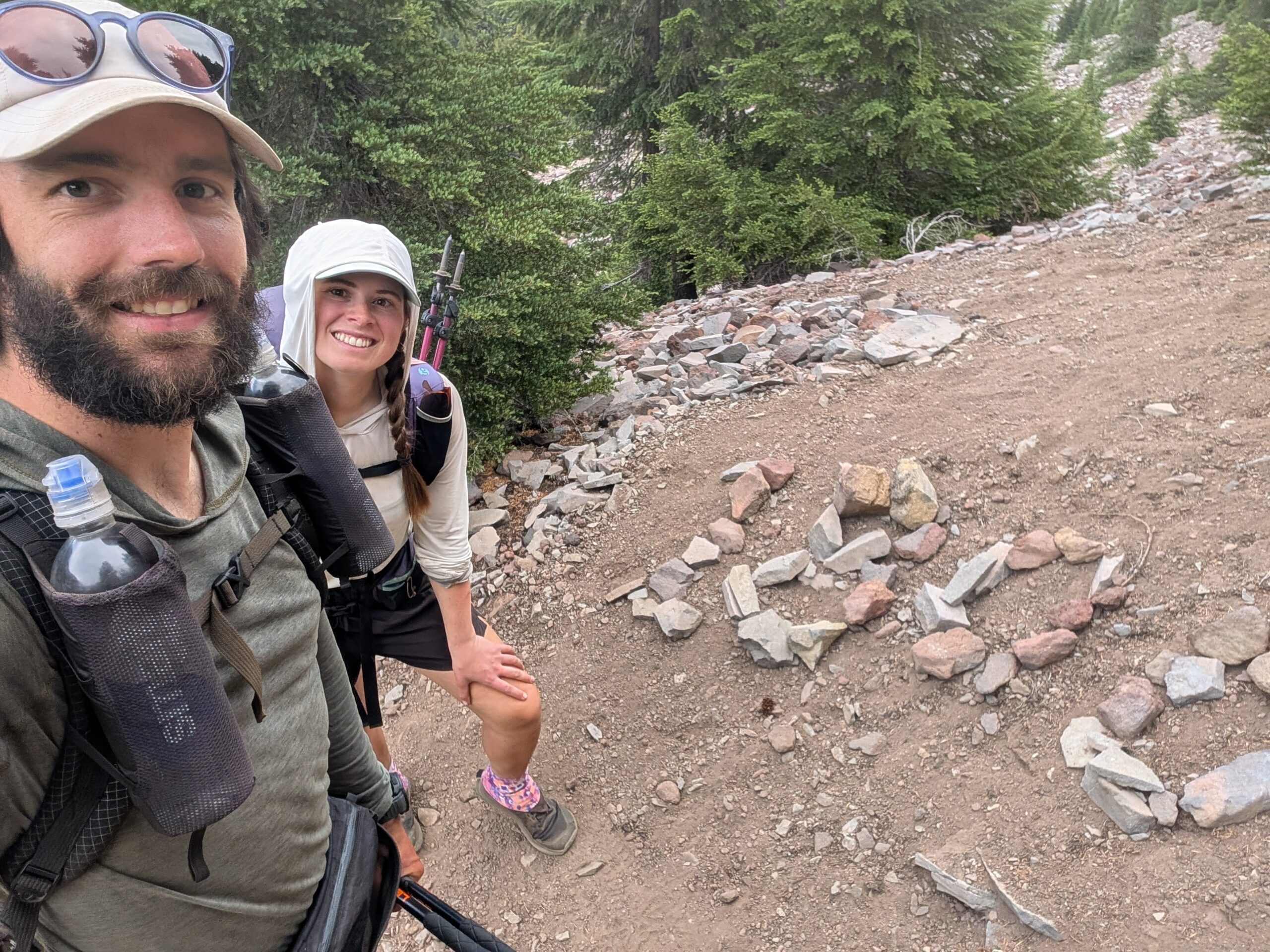
What’s Next?
We pass through Crater Lake National Park and central Oregon. Spout and I are also looking forward to meeting my parents and brother Tyler who are flying out to meet us!
How’s It Going?
Stepping into Oregon felt as if a great weight was lifted off our shoulders. Morale is high and we feel great. Notably, our feet and knees are not experiencing regular pain, whereas they felt destroyed by this point on the AT.
Food & Resupply
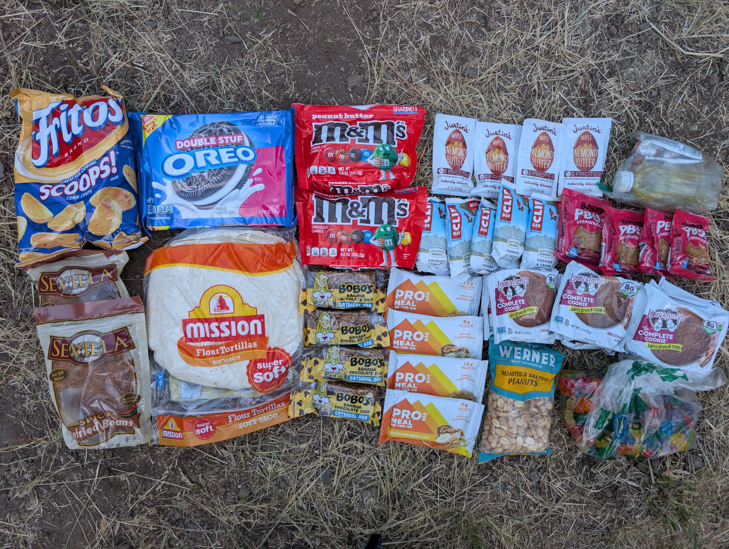
Not much has changed with our resupply. I would like to shout-out peanut butter though. Specifically, the 6oz Skippy Natural squeeze pouches of peanut butter (these can be hard to find along the PCT) are fantastic for backpacking. Scooping peanut butter with a spoon involves too much cleanup. Squeeze pouches are convenient and nut butters in general are nearly the most calorie dense food you can buy. Other good alternatives are the 13oz Jif squeeze pouches or the individual servings of Justin’s nut butters.
Notes
- Our expected date to finish the trail is the second week of September. After making it so far in July, we are in a good position to finish before our “deadline” of 9/15.
