7/16 – Day 88
28.7 miles from Red Mountain to Deer Creek
July 25s: 11
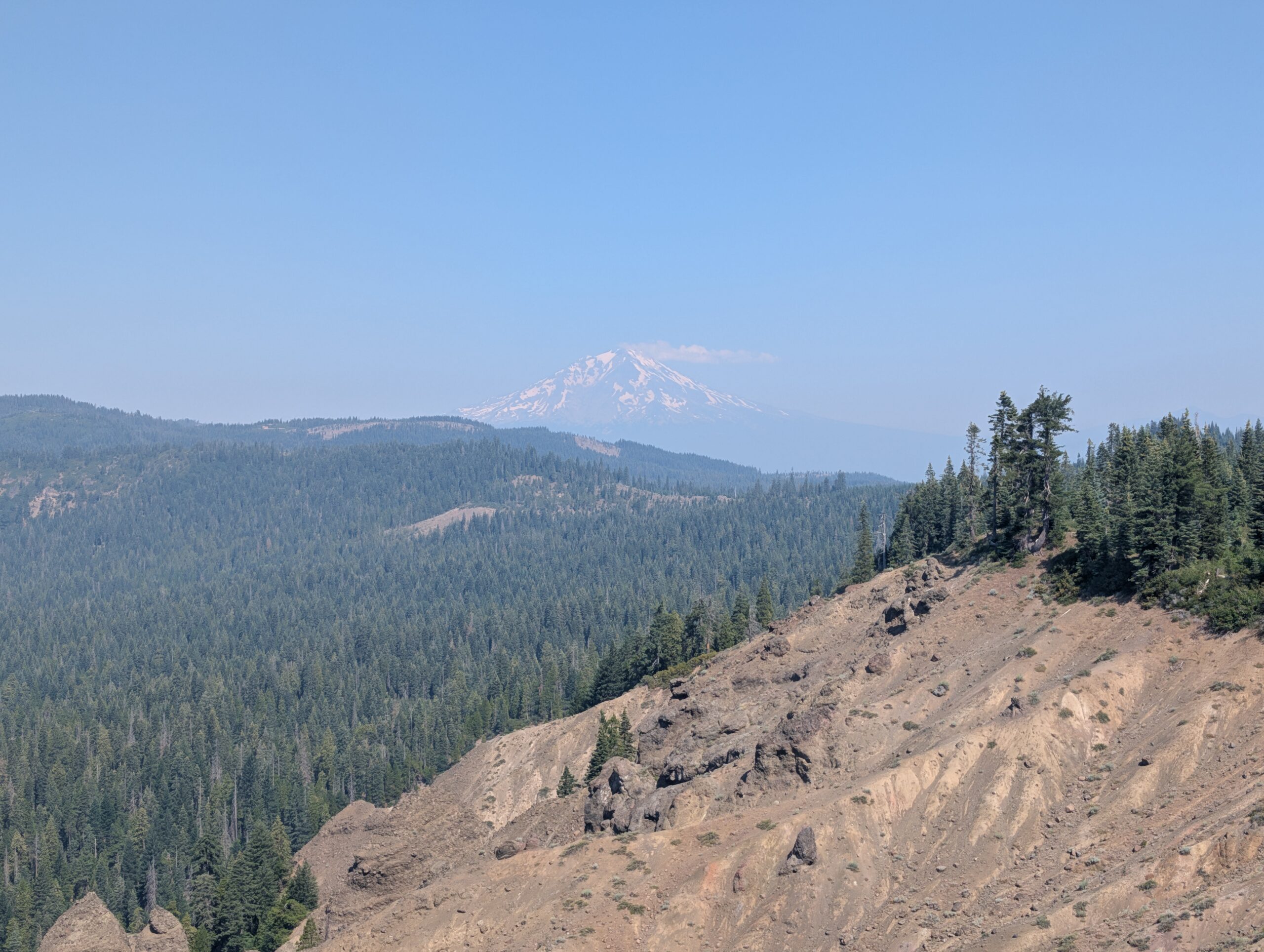
The haze dissipated come morning. Mt. Shasta was finally visible to the northwest, but only among clearings of the overgrown trail. The first couple of miles were the most dense. Hiking on route was practically indistinguishable from bushwhacking. Though even after this minor ordeal, the brush returned in small patches throughout the day.

Water was becoming scarce once again too. Today involved two dry stretches of seven and ten miles respectively. The streams we did pass by were often off the trail a short ways. Peak hiker laziness has kicked in. I groaned about having to follow a 100ft side trail to fill up water. Given the choice, it is preferable to hike an extra mile or two to reach a stream flowing across the trail.
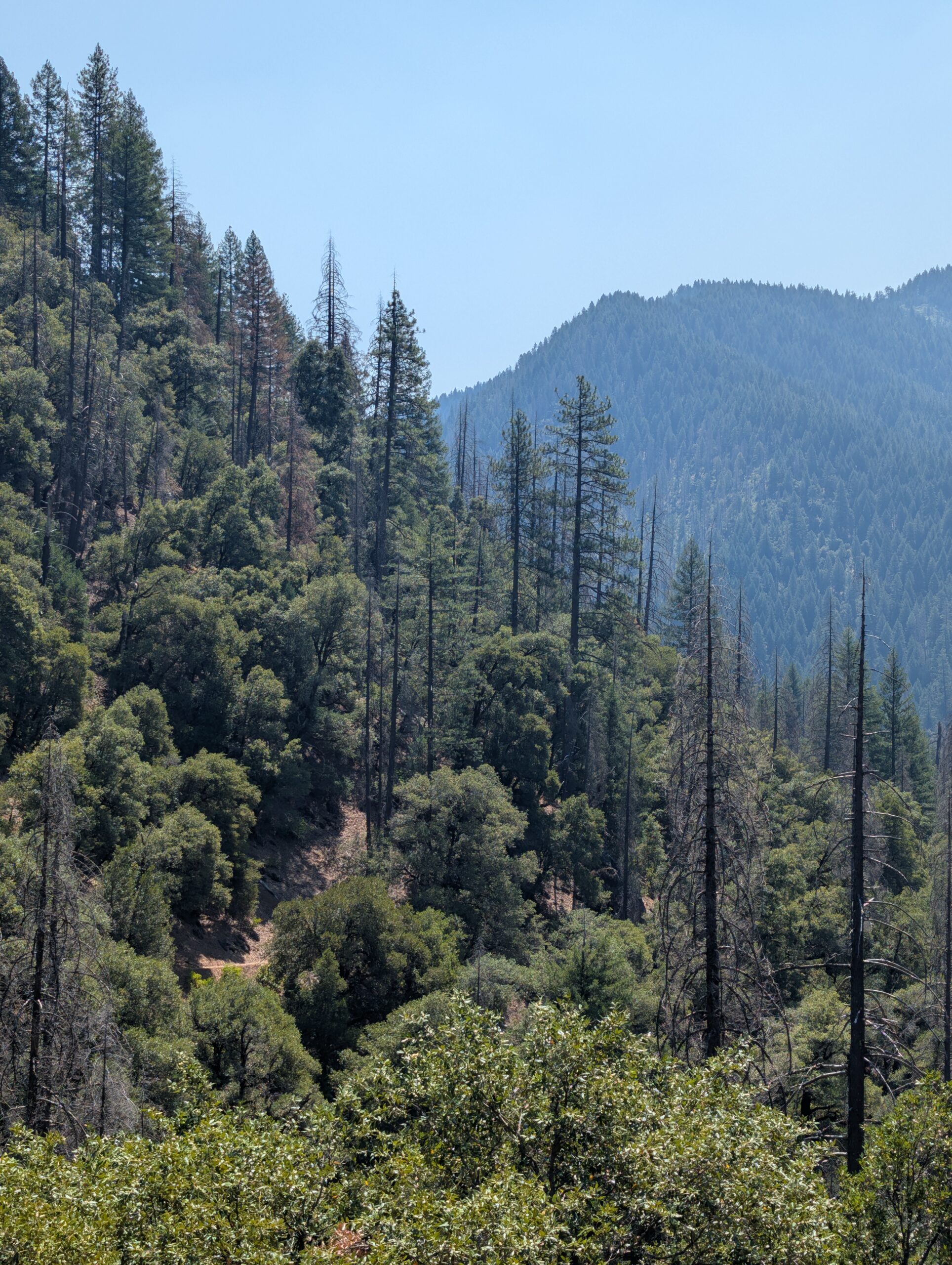
We hiked with determination, setting a strong pace and only bothering to break when it was time for lunch. As the afternoon wore on, the smoke began settling more on the landscape around us. I still found peculiar beauty in the gradient formed between the layers of forest. However, it was hard to maintain a positive attitude about the hike considering the situation. It felt like something was stolen away from this section.

We knew brighter days laid ahead. If there was one benefit to experiencing the trail under less-than-ideal circumstances, it was that it made perfect fuel for crushing big days. We kept moving until 9:00pm. The campsite we targeted already had three tents and a cowboy snoring by the time we rolled in. Fortunately, there was a tiny space for us to quietly squeeze in.


7/17 – Day 89
32.5 miles from Deer Creek to Girard Ridge
July 25s: 12
Rise and grind. From the moment we woke up to when we started hiking, it took about 30 minutes. From that point, Spout and I kept moving until 1:30pm, covering 15 miles. There were two very short breaks to filter water in that time. Otherwise, we hiked and hiked and hiked through a healthy evergreen forest.
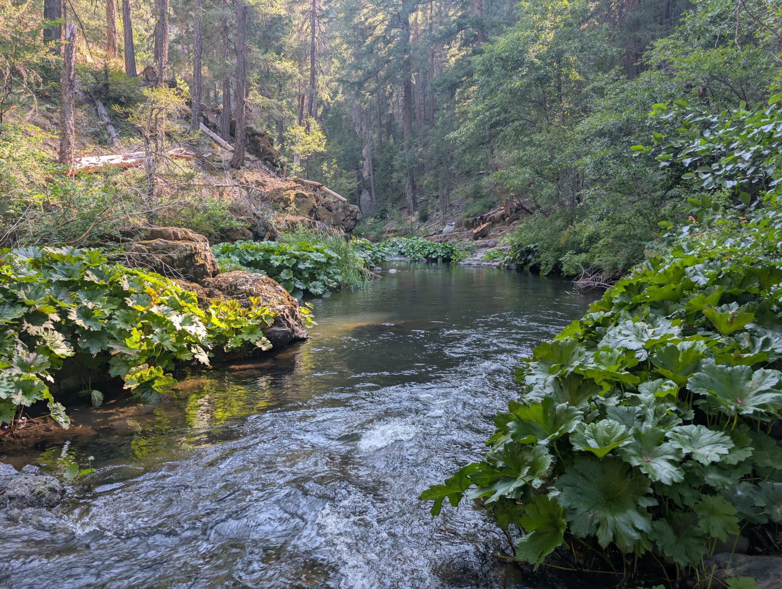
After a few rolling hills, we descended to Squaw Valley Creek. This made for a perfect spot to rinse off and fill our bottles before the next dry stretch. It was hot, but not unbearable due to the shade of the pines.
Finally, as the day was winding down along Girard Ridge, we came upon an unbelievable view of Mt. Shasta. This was what we had been waiting for after hundreds of miles of burn and smoke. It was all suddenly worth the effort.

We chose to follow a short alternate route at the Girard Ridge Junction (technically a shortcut that shaved off three miles of the PCT). Compared to the red line, this route brought us down an absolutely fantastic ridge with Castle Crag directly to the west beneath the setting sun. When the sun dipped under its jagged crest, the beams formed a laser show of wonder, cast in all directions over the mountains. It was a truly special moment.

The scenery was so awe-inspiring, we forgot how far we had come and just kept walking. We eventually stumbled upon a nice spot with a view of Mt. Shasta when the alternate rejoined the PCT.

7/18 – Day 90
10.8 miles from Girard Ridge to East Fork Sulphur Creek
July 25s: 12
The remainder of the hike into town was easy and all downhill. I was a bit grumpy in the morning, because sometimes that is how it be. About four miles in, I felt a sharp sting on my right shoulder. I was worried it might be a spider or some other bug that found its way into my shirt, so I tore it off and shook it out. While Spout was watching me strip like an idiot, she looked around and said, “woah, look at that huge wasps nest”. Completely unrelated, she was sure.
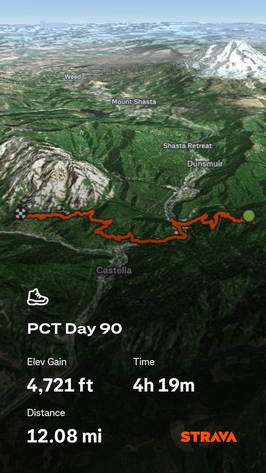
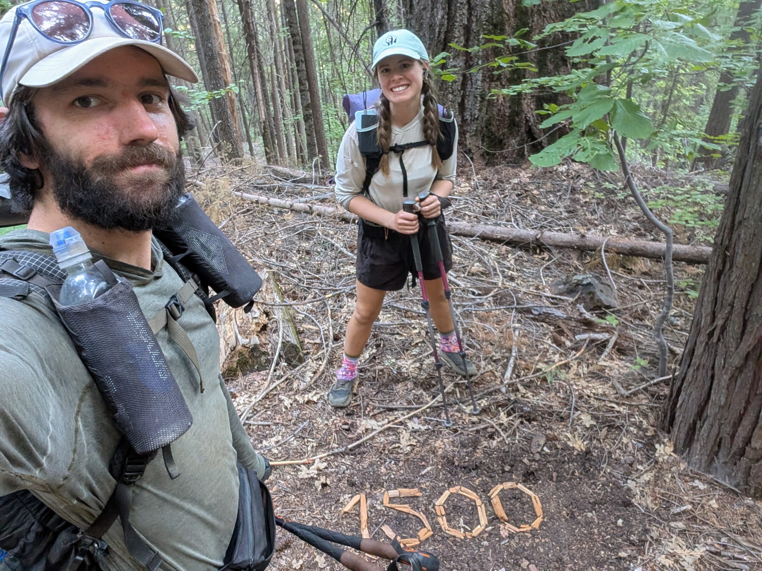
We made it down to the Soda Creek trailhead at Highway 5 shortly afterwards. Magic Man was handing out trail magic again, but it coincided with a gentleman named Rick who pulled up to offer us a ride. He drove us into the kooky little town of Mt. Shasta.

Aside from the hoards of tourists, the locals were a hodgepodge of the super wealthy, the homeless, and a bizarre breed of hippies. There was not one, not two, but three different shops offering crystal bowl sound therapy. The coffee and pastries at Theory were superb, but the resupply at Ray’s was comically expensive ($3.99 for a single Clif bar!)

We attempted to watch a movie at the theater with Juke Box, but the staff would not allow us to bring in our backpacks, so they missed out on the business of three hungry hikers willing to drop some serious coin on popcorn and soda. Instead, we loitered at the local Burger King. After the Whoppers were deleted, we thumbed it back to the PCT.

A small stretch of trail was closed for rehabilitation and we followed a blue blaze through Castle Crags State Park to maneuver around it. There were free hot showers at the campground. Though not the best feeling to put on sweaty clothes after rinsing off, it was absolutely better than nothing. A few more miles brought us back to the PCT and we continued a bit further to a nice campsite along Sulphur Creek.

7/19 – Day 91
26.9 miles from East Fork Sulphur Creek to Shasta Spring
July 25s: 13
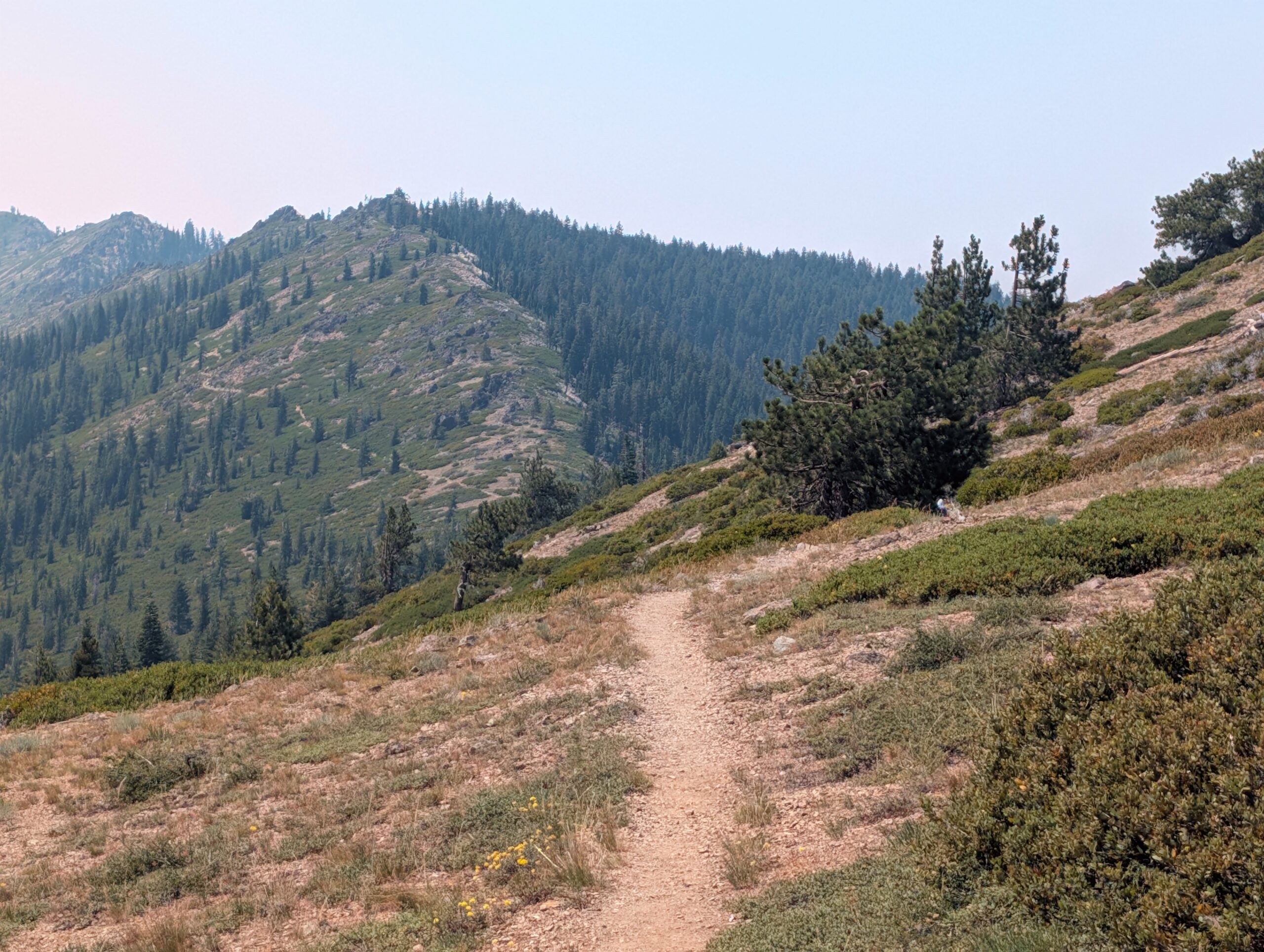
We slept until 7:30am. The increasingly common time we begin our day of hiking is after 8:00am. This only works if we are willing to hike until dark, which we prefer to do anyway. The downside of course is that it is usually hot the entire morning. The trail up and around Castle Crags was one of the last remaining big climbs of the state. It was somewhat shaded in the trees, but offered occasional openings to view Mt. Shasta.

The terrain grew more rugged as we worked our way towards the Trinity Alps. We traversed open ridge lines with more dramatic views than we had been offered in hundreds of miles. I noticed dragonflies that looked and sounded as big as hummingbirds flying overhead as we went.
Towards the end of the day, I ran head first into a log while walking on my phone. Then, while making dinner at camp, I burnt a full pot mac & cheese. Frustrated, I laid down to snack and choked on an almond M&M, nearly demanding Spout to rush over and perform the heimlich maneuver. After I managed to dislodge it, Spout cleaned out the pot and tried again with another serving of mac & cheese. She burned that one too, so we ate nothing.
The saying, “when it rains it pours”, could not be any more accurate when applied to thru-hiking. Though, it’s been 3 weeks since it last rained, that hardly influenced our ability to create problems of our own. I went to bed hungry and defeated.
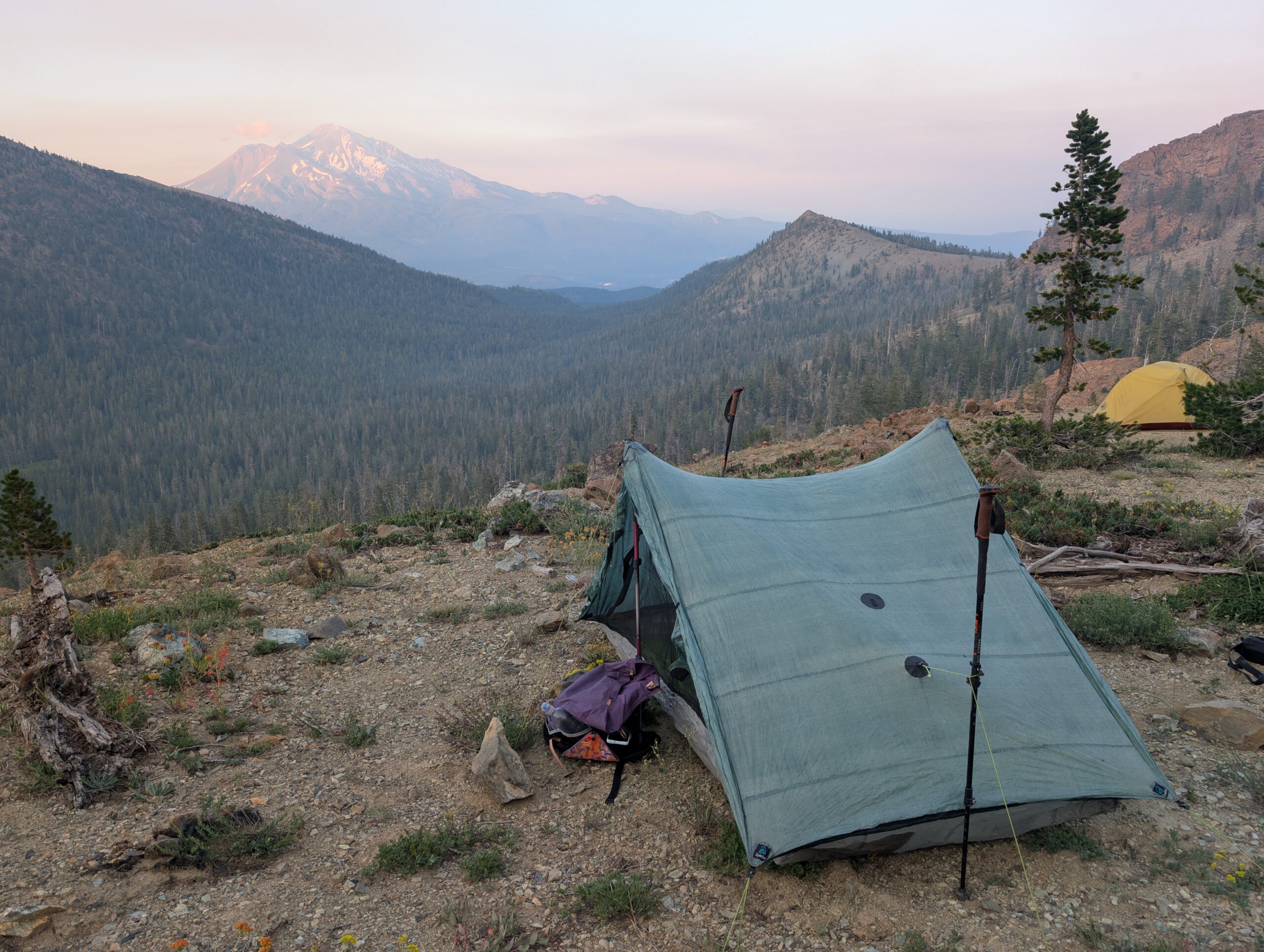
7/20 – Day 92
26.2 miles from Shasta Spring to Scott Mountain Campground
July 25s: 14
The morning brought smoke with it. Mt. Shasta was missing, as was the whole lot of nameless peaks and ridges. Was I actually lethargic, or did I just feel like I should be after skipping dinner the night before? It made no difference to the dirt path in the woods that guided us.

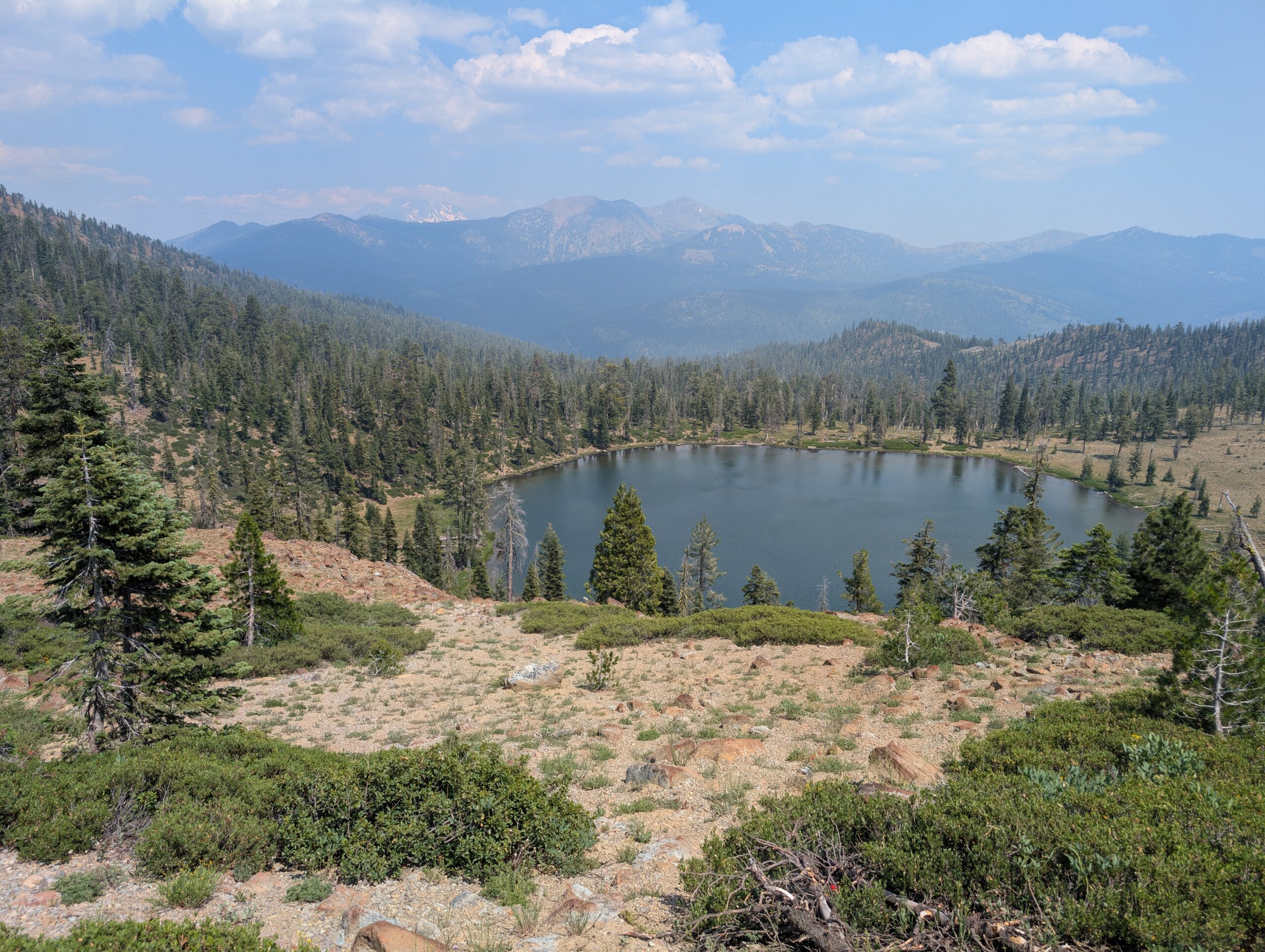
There was a pit toilet at the Parks Creek Campground, along with a handful of hikers planning to skip up to Etna, CA. We kept moving. The Oregon border felt like it was finally within reach. No matter how resigned we felt after the previous day, we knew we had to keep chipping away. This was the point in the hike when you are forced to decide if thru-hiking the entire PCT is something you really want or not. If it was easy, everyone would do it.

The trail was actually quite pleasant, despite the haze. The elevation map showed us gradually going downhill for the next twenty some miles. We were also the only two who seemed to be on the trail, save a duo of brothers from Wisconsin whom we leap frogged with throughout the day.

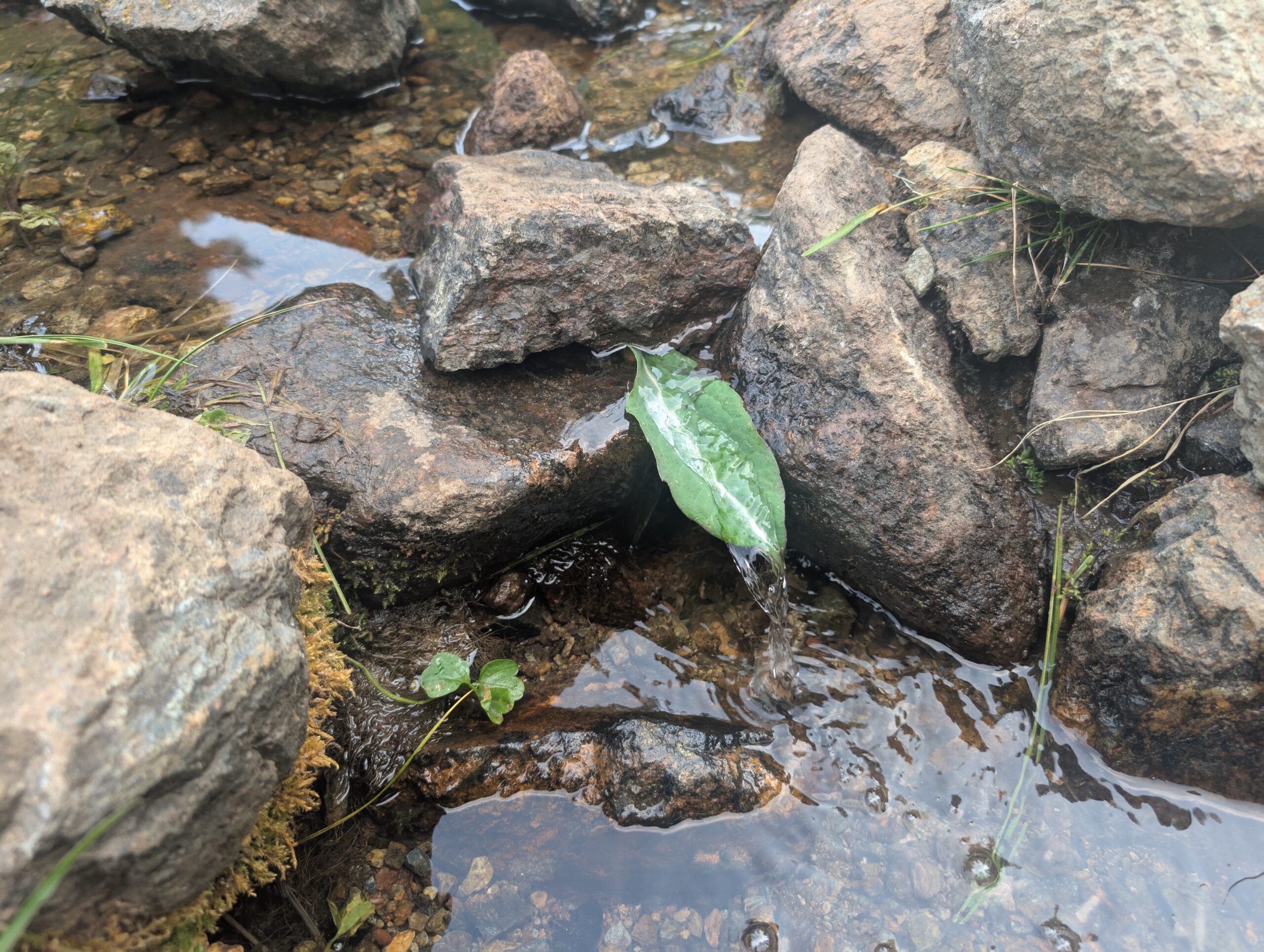
Spout made a spout. Our last water source of the day was a slow-trickling stream that really benefitted from the narrow leaf. We cooked gravy and stuffing without burning it, celebrating the small wins. The last few miles of the day sparked an intense discussion about mindfulness. Life is 10% what happens to you and 90% how you react. At a crossing of highway 3, we settled down in Scott Mountain Campground. Ours was the only tent.
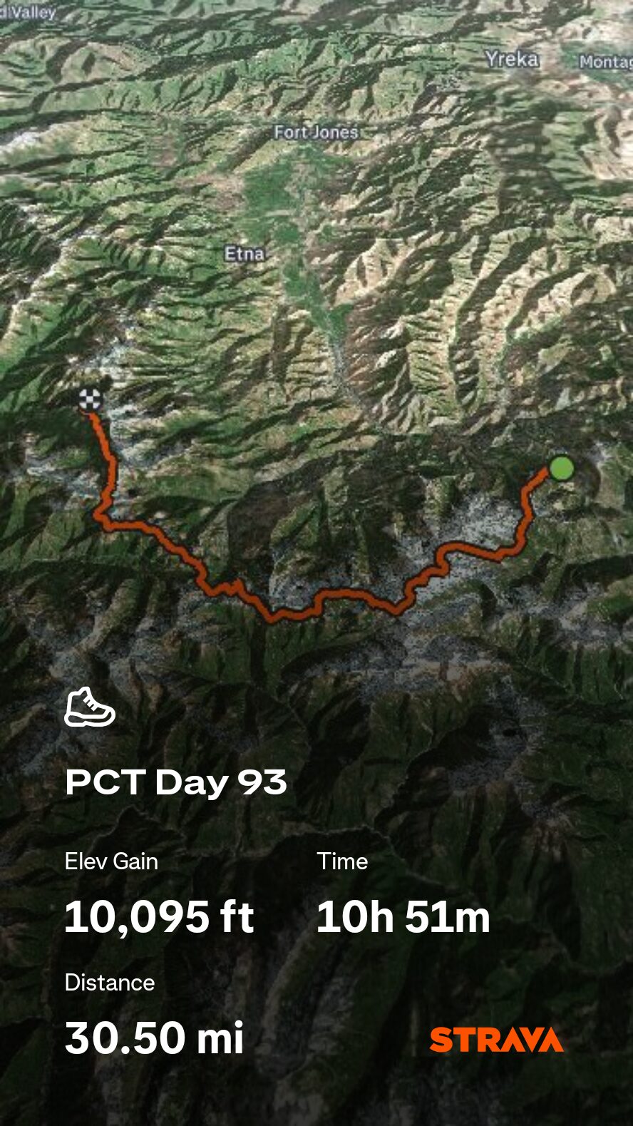
7/21 – Day 93
30.5 miles from Scott Mountain Campground to Statue Creek
July 25s: 15
We woke up at 6:00am. We learned it was easier to hike longer than it was to hike faster. Furthermore, it was about that time when thoughts of reaching town began to consume us and every extra mile we hiked meant one less we would need to hike tomorrow. The trail entered the Trinity Alps Wilderness. Beyond the blinding smoke, there was surely a majestic landscape.
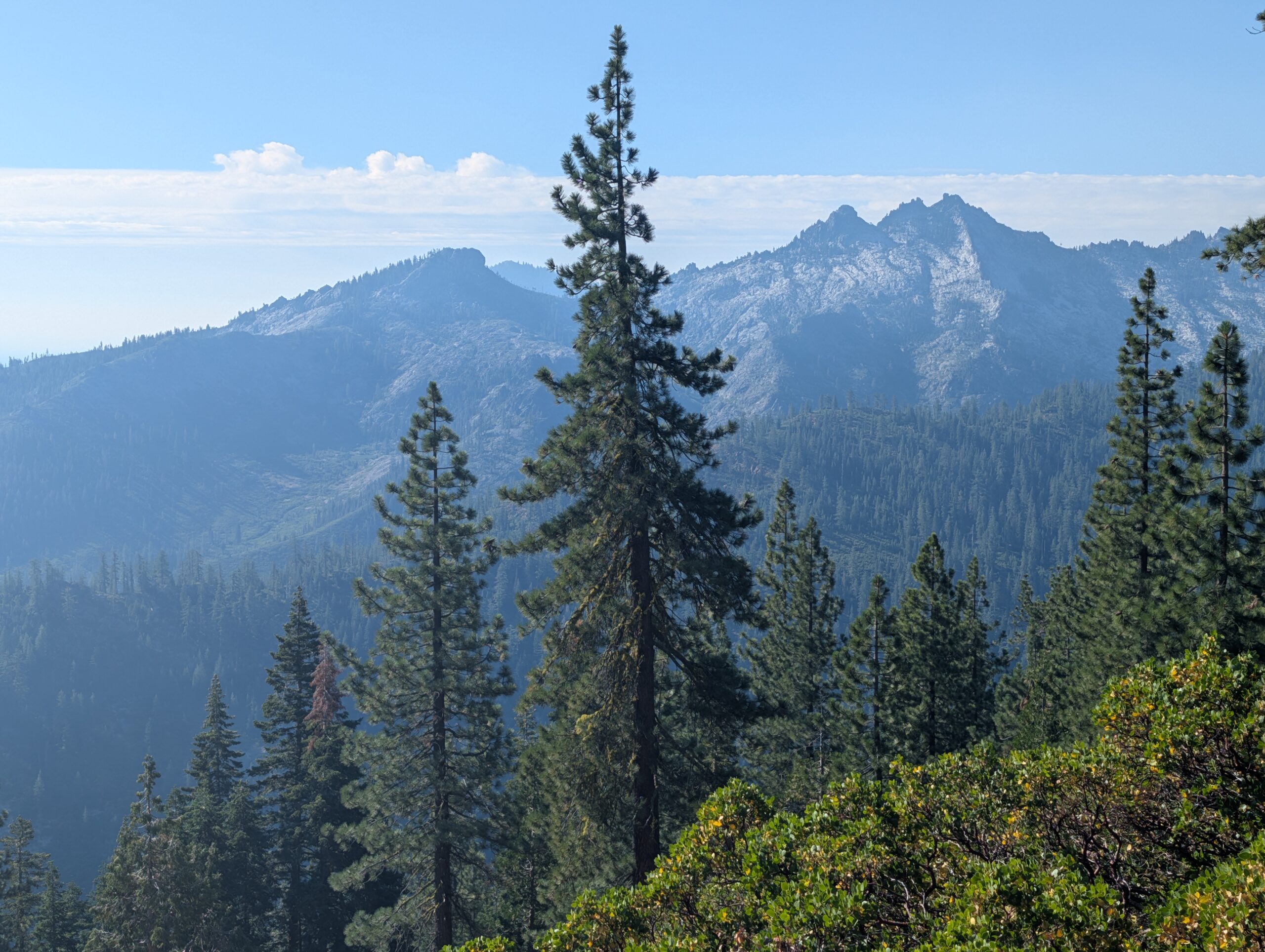
Spout lost her headphones at some point. This meant that neither of us could listen to music anymore, since she now wanted to chat the whole day. Conversation carried us throughout the afternoon. A group of young boys warned us of “skinwalkers” lurking along trail. We heeded their warning and trod carefully.

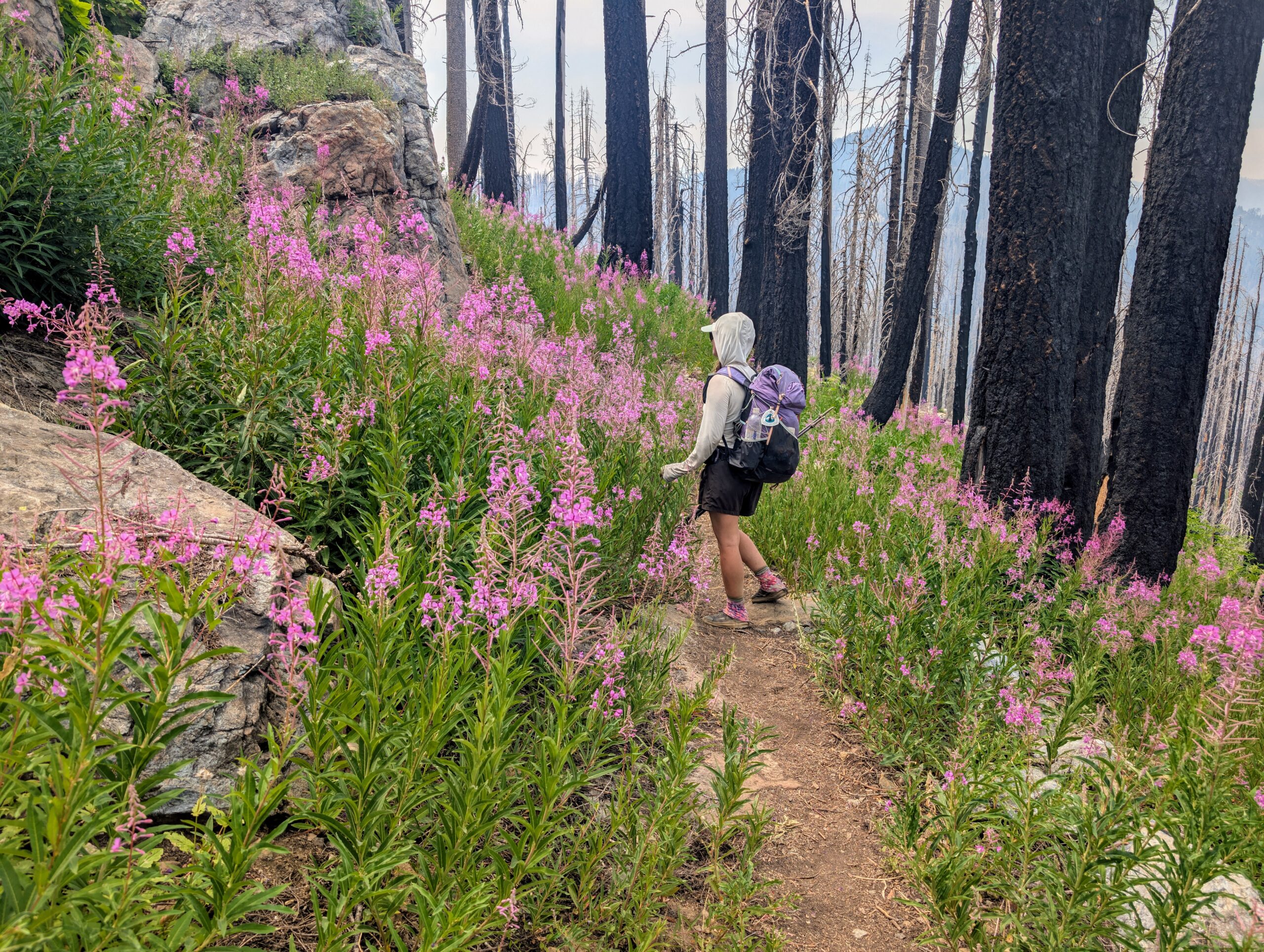
We entered a section that had burned just a year prior. Amongst the blackened trees were these beautiful, purple wildflowers called “fireweed”. They were known to quickly colonize exposed areas, such as those that have recently burned. The circle of life.
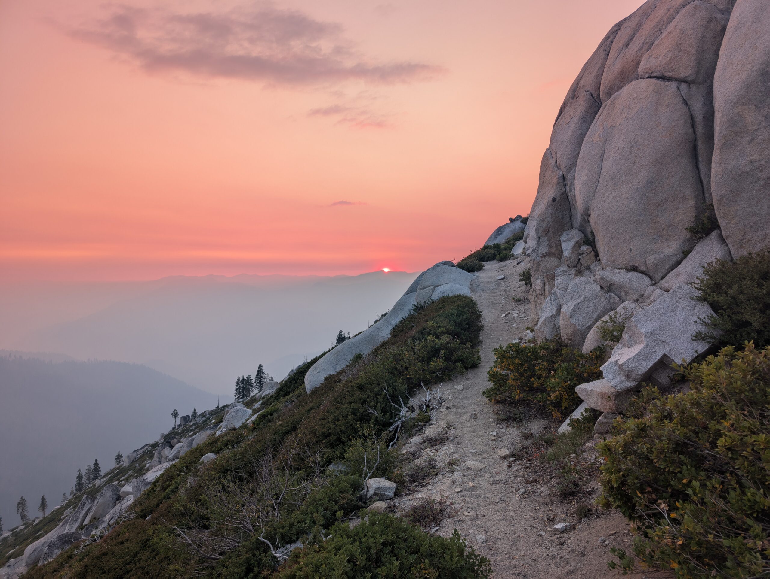
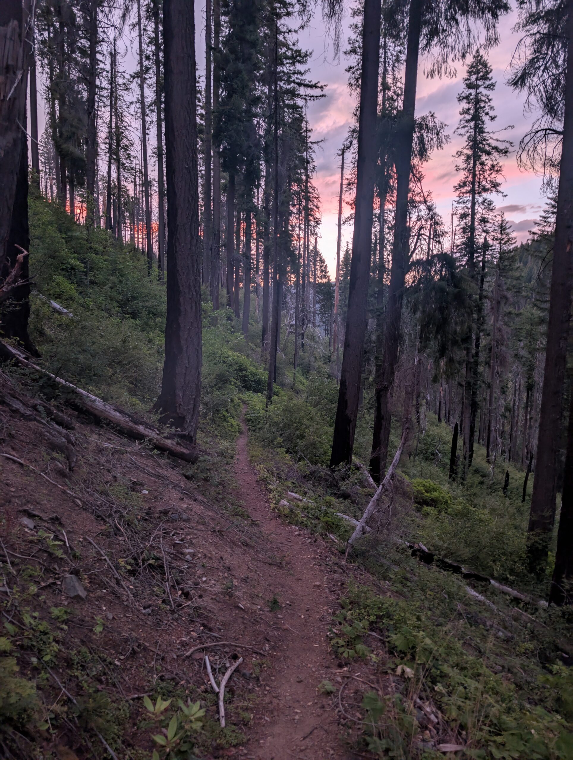
As the day was winding down, we caught a surreal sunset among the smokey horizon. There were no camping opportunities for several miles along the steep ridge, which led to another long day of hiking.
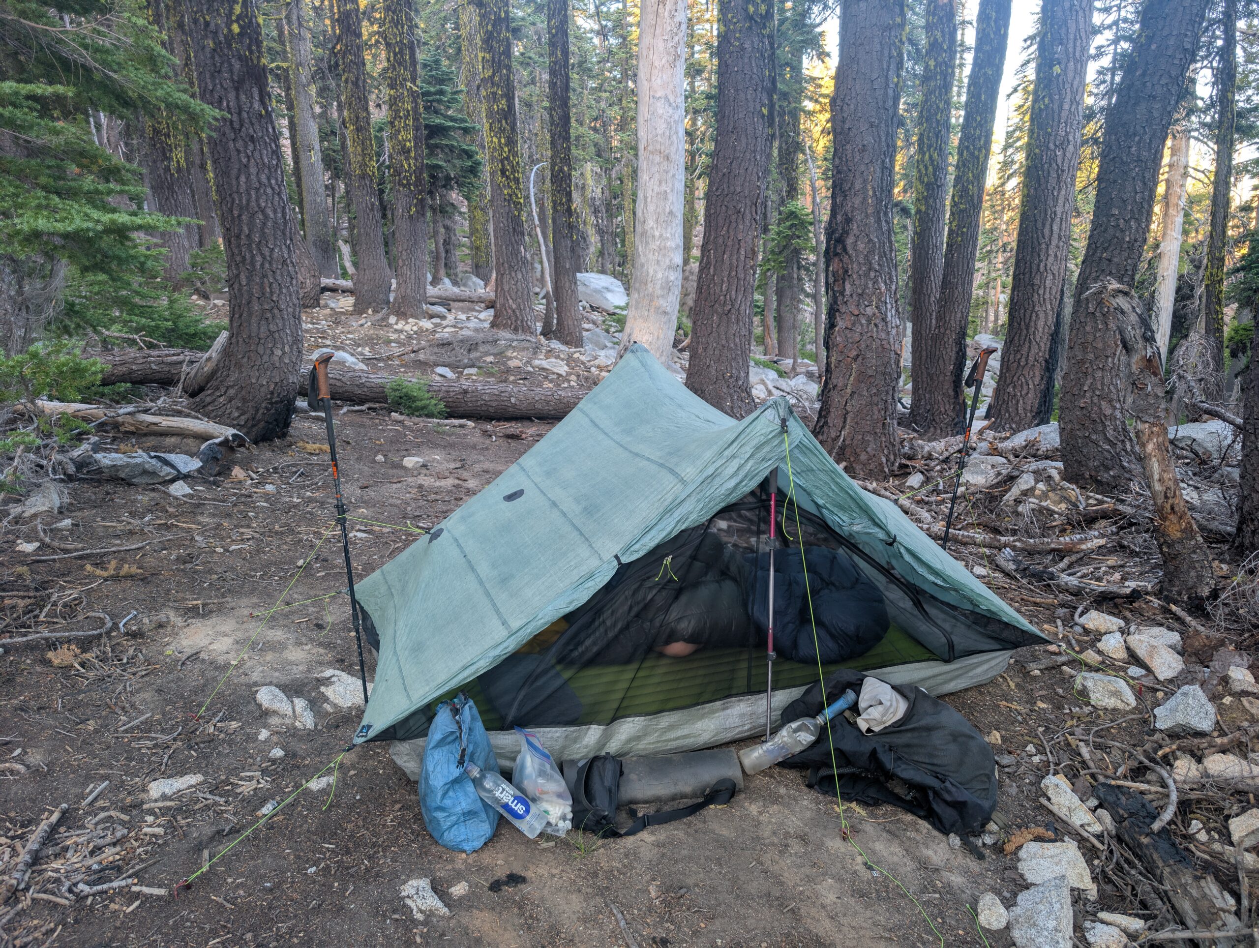
Our sights were set on Statue Creek and a site incorrectly typed as “Tentstie” on FarOut. Considering we smelled like two dirty piggies, it seemed appropriate that we would settle down for the night in a sty.
7/22 – Day 94
8.8 miles from Statue Creek to Etna, CA (Etna Motel)
July 25s: 15
“Town day”. Are there two more beautiful words in the entire English language? Maybe “zero day”, but we had to temper our expectations. Nine scenic miles through the Russian Wilderness were all that were left before reaching Etna Summit. The air was clear of smoke, so we had outstanding views of the white rock mountains all morning long.
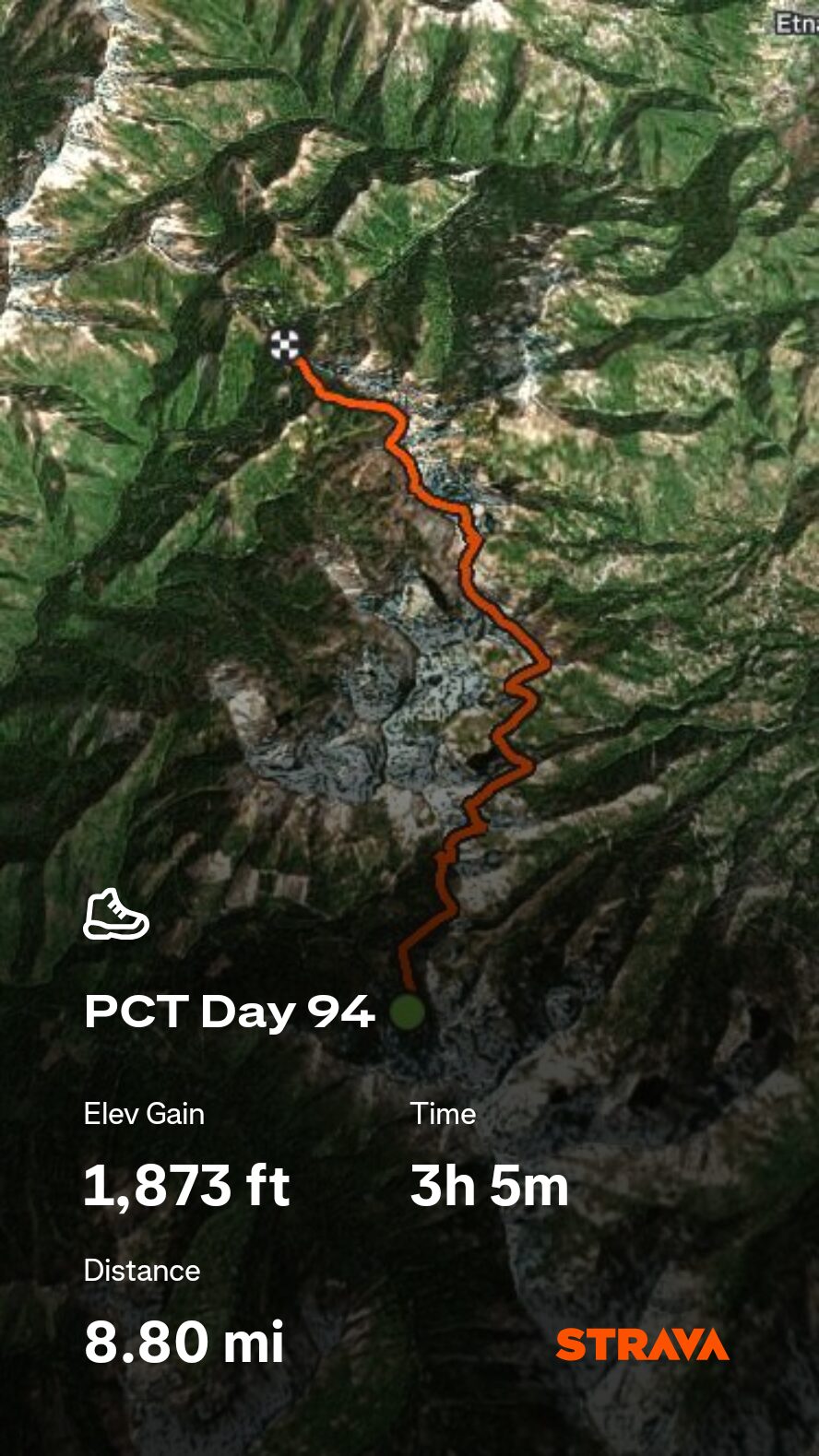
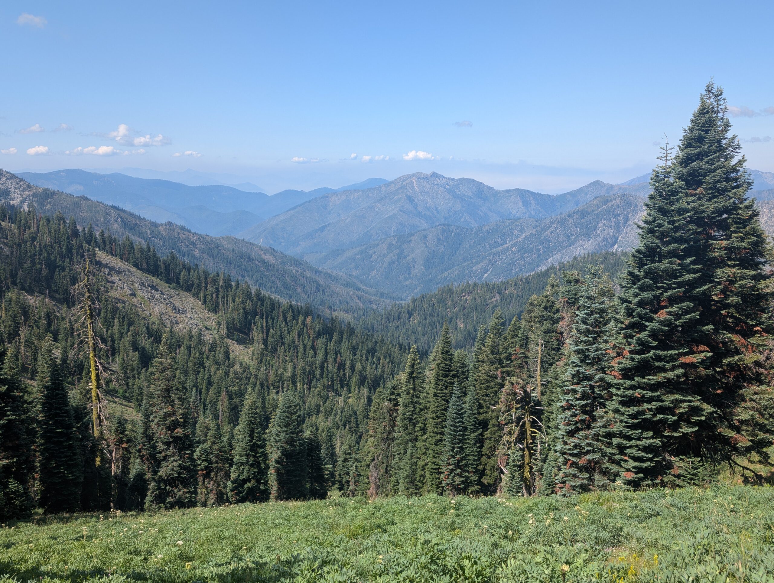
We organized a ride from Etna Summit, the first shuttle we paid for on the entire trail. The Butler Fire was burning southwest on Sawyer Bar Rd, so we were expecting outbound traffic to be non-existent. For $10, Jan met us at the trailhead at 11:00am and drove us into Etna, CA.

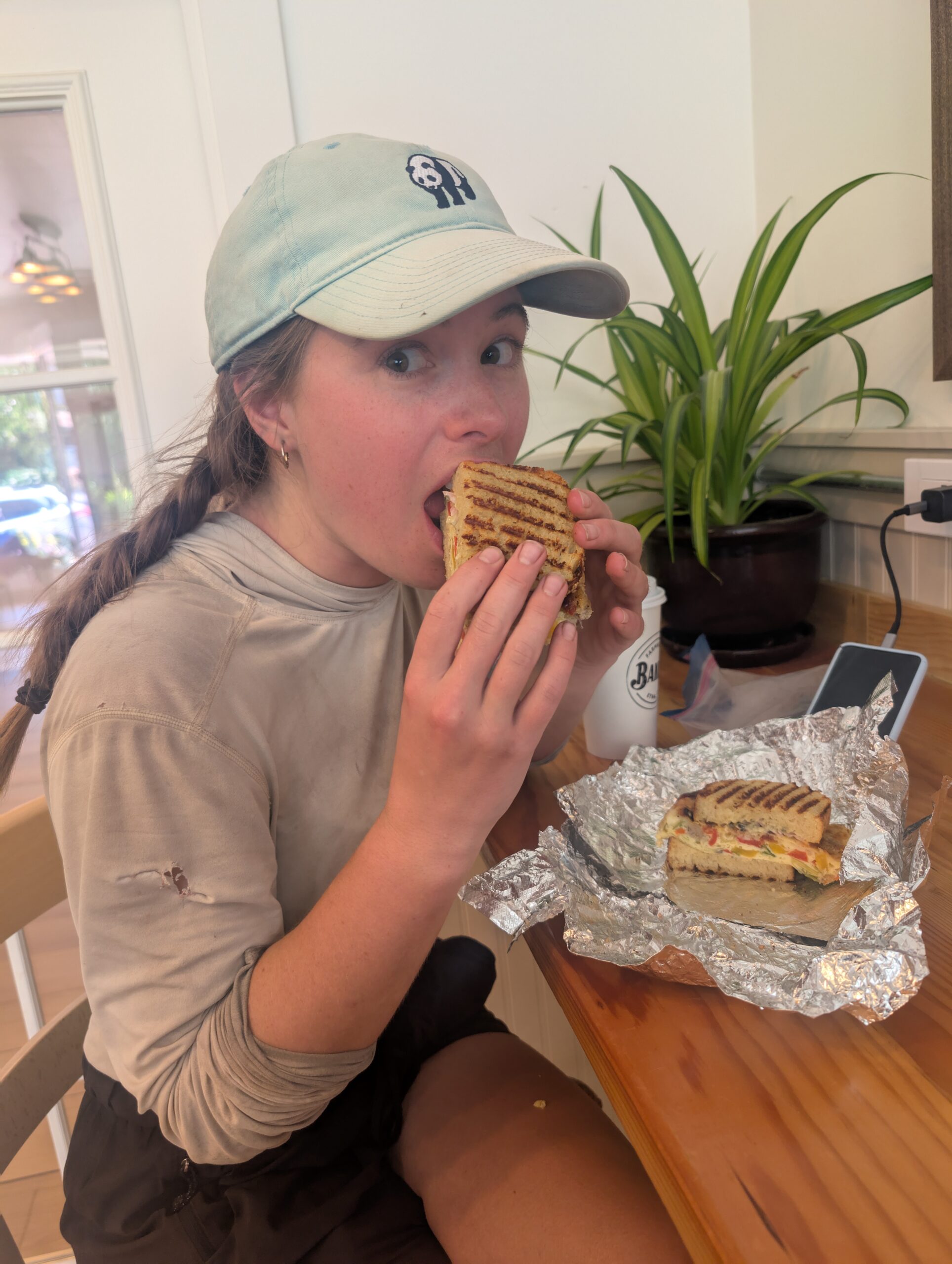
Etna was the last true town we would pass in California. While pretty much every business was closed on Tuesdays, the Farmhouse Bakery was serving up delicious Focaccia breakfast sandwiches and cold brew coffee. We made a subpar resupply at the local Dollar General, grabbed milkshakes at Dotty’s, then checked in at the Etna Motel.
From here, it was the usual routine of bathing then lying in bed the rest of the night, only bothering to leave once when it was time for dinner. The meal consisted of a half gallon of ice cream for the calories, and a pot full of avocado kale salad for the nutrients. Despite having nearly a full day off, there were endless items on my to-do list. The hours ticked away all too quickly.


7/23 – Day 95
10.8 miles from Etna Summit to Shelly Meadows
July 25s: 15
We returned to the bakery first thing in the morning then went back to the motel to lay down until the very last minute before checkout time. Just before noon, we made hitched to Etna Summit, courtesy of a firefighter who was headed towards the Butler Fire. He taught us a few things about the process of containing wildfires that spread across thousands of acres.
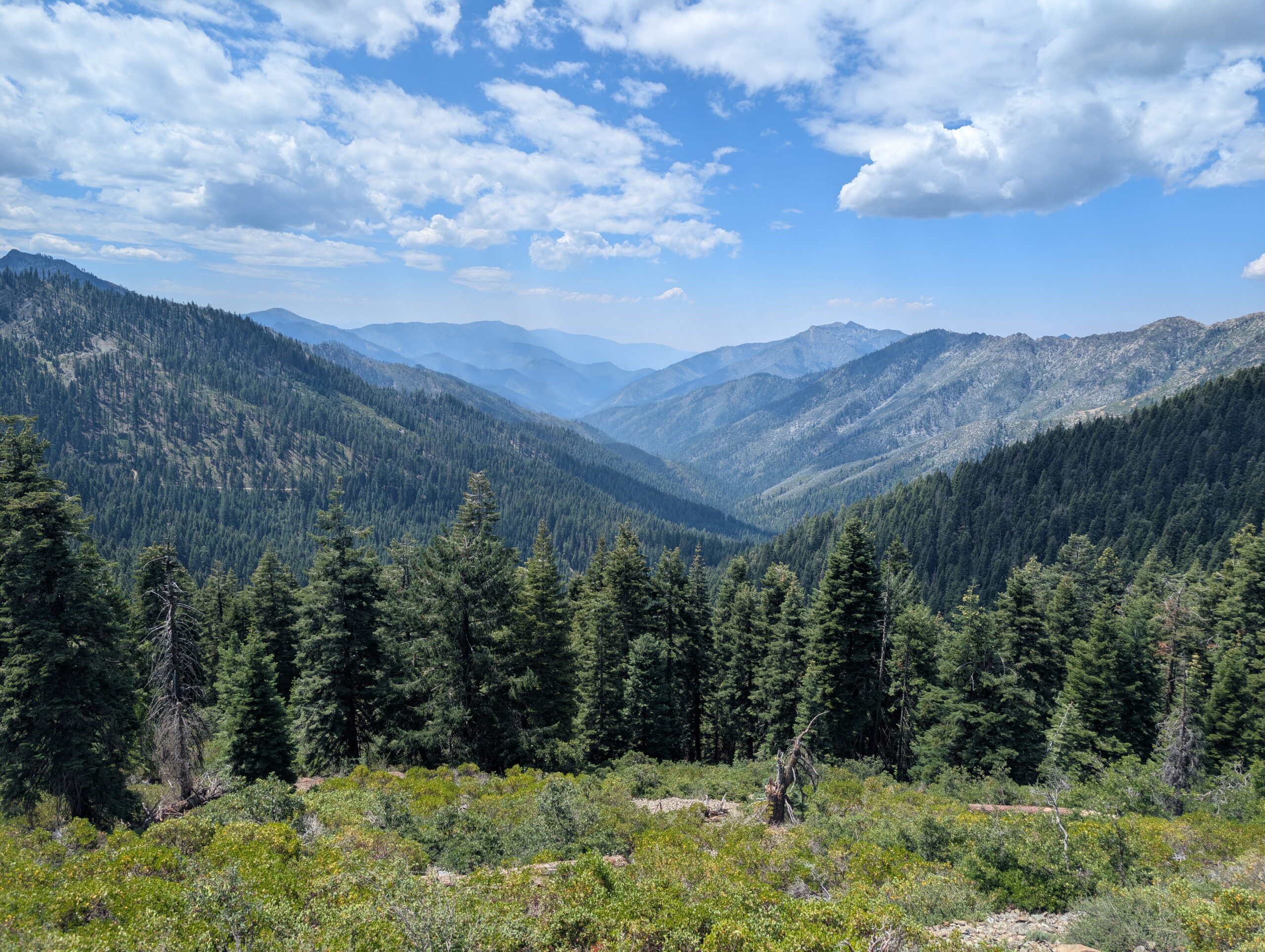
We had no intention of going very far today, which was good since we were effectively pace locked by the burn zone of the Summit Fire. Being just a few weeks fresh, camping among the snags would be particularly dangerous. Overhead, helicopters carrying large buckets of water made trips back and forth, presumably to a nearby lake. It seemed everywhere in the state of California was either currently on fire, previously on fire, or being smoked out from a distant fire.

I felt extreme lethargy on the hike away from the road. Choosing to eat that salad last night was a catastrophic error and I may never recover from the caloric deficit I was facing. I powered through as the trail rose to a burnt ridge and entered the Marble Mountain Wilderness.

A few hours in, we reached the threshold of the Summit Fire burn zone and took advantage of a campsite still surrounded by live trees. There was plenty of daylight remaining. Spout picked up a book of crossword puzzles in town, which made for a great camping activity. It may have been our most relaxing night on trail yet.

This site was crawling with habituated deer. They were fearless enough to walk within ten feet of us and they only wanted one thing: salty, delicious pee. All night long, we heard four deer scampering around. One brazen buck stood guard over his favorite urine puddle and sparred the others when they came too close.
7/24 – Day 96
31.2 miles from Shelly Meadows to Grider Creek
July 25s: 16
As soon as we finished tearing down camp, a woman named Mercury strolled by. We fell into stride with her before she casually mentioned she had went 11 miles already (it was 6:50am). Turns out, she was previously attempting to set the FKT, but fell too far behind and was now just trying to finish as fast as possible. She was averaging nearly 40 miles per day. Interestingly, we actually hiked faster than her. She covered over double our daily mileage by simply walking nonstop for 20 hours. Pacing really is everything. She was so pleasant to chat with, until we conceded a 20 minute lunch break, whereas she kept moving and we never saw her again.
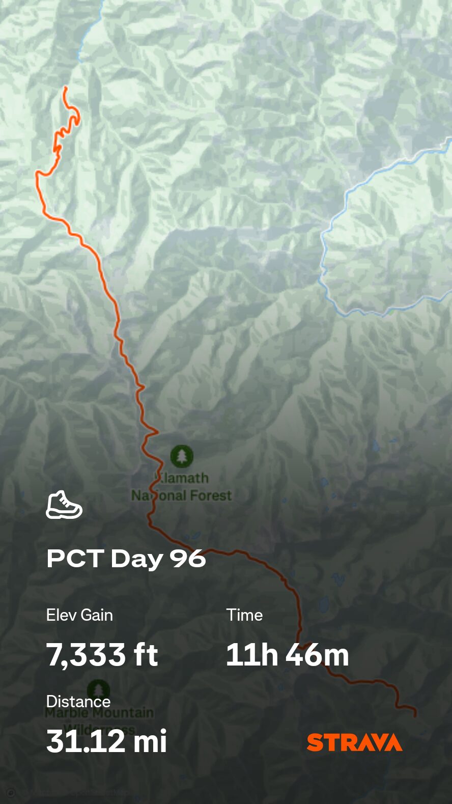

Motivation is fickle, but it makes a huge difference when it strikes. After our encounter with Mercury, we committed to giving the day our best, cruising through the spectacular Marble Mountain Wilderness with the tenacity of two ultra runners.
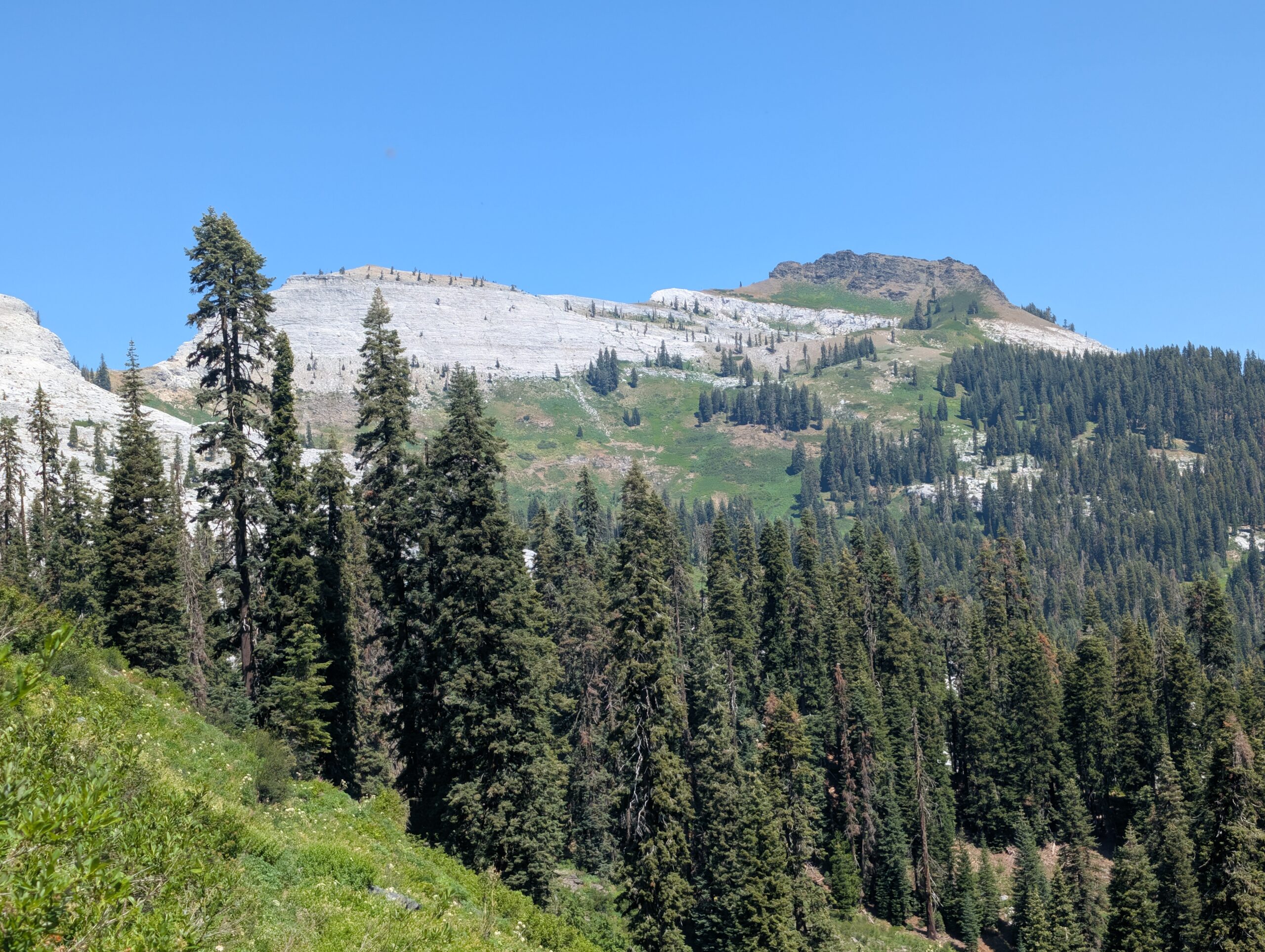
The fresh burn area was spotty and not nearly as severe as we expected. There were only two short patches of trail that were actually on fire. A few fallen logs were still smoking when we passed.
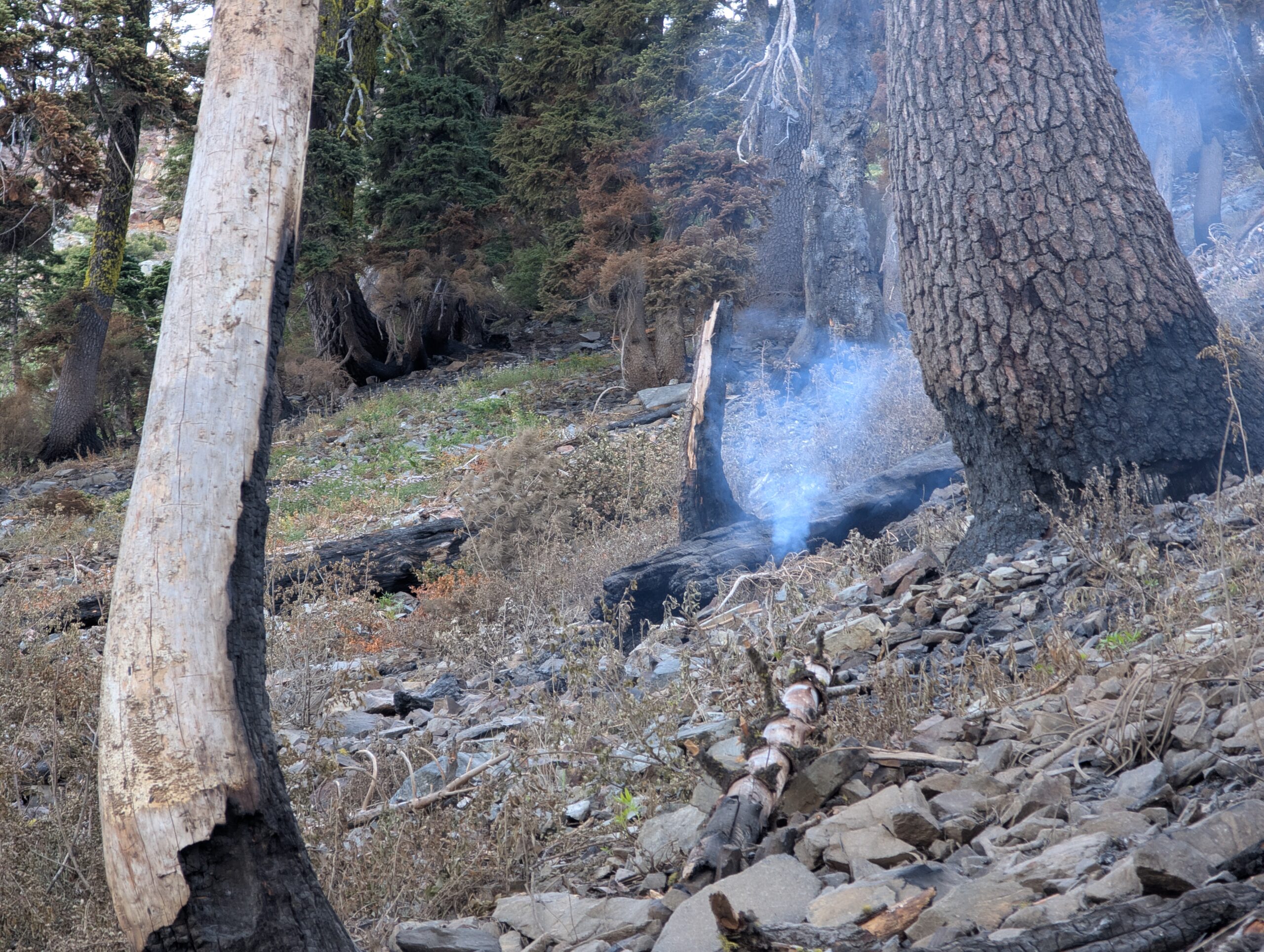
Marble Mountain was a rounded, granite hill with bright green grass along the slope. The trail was rocky at points, with short but steep climbs across the ridges.
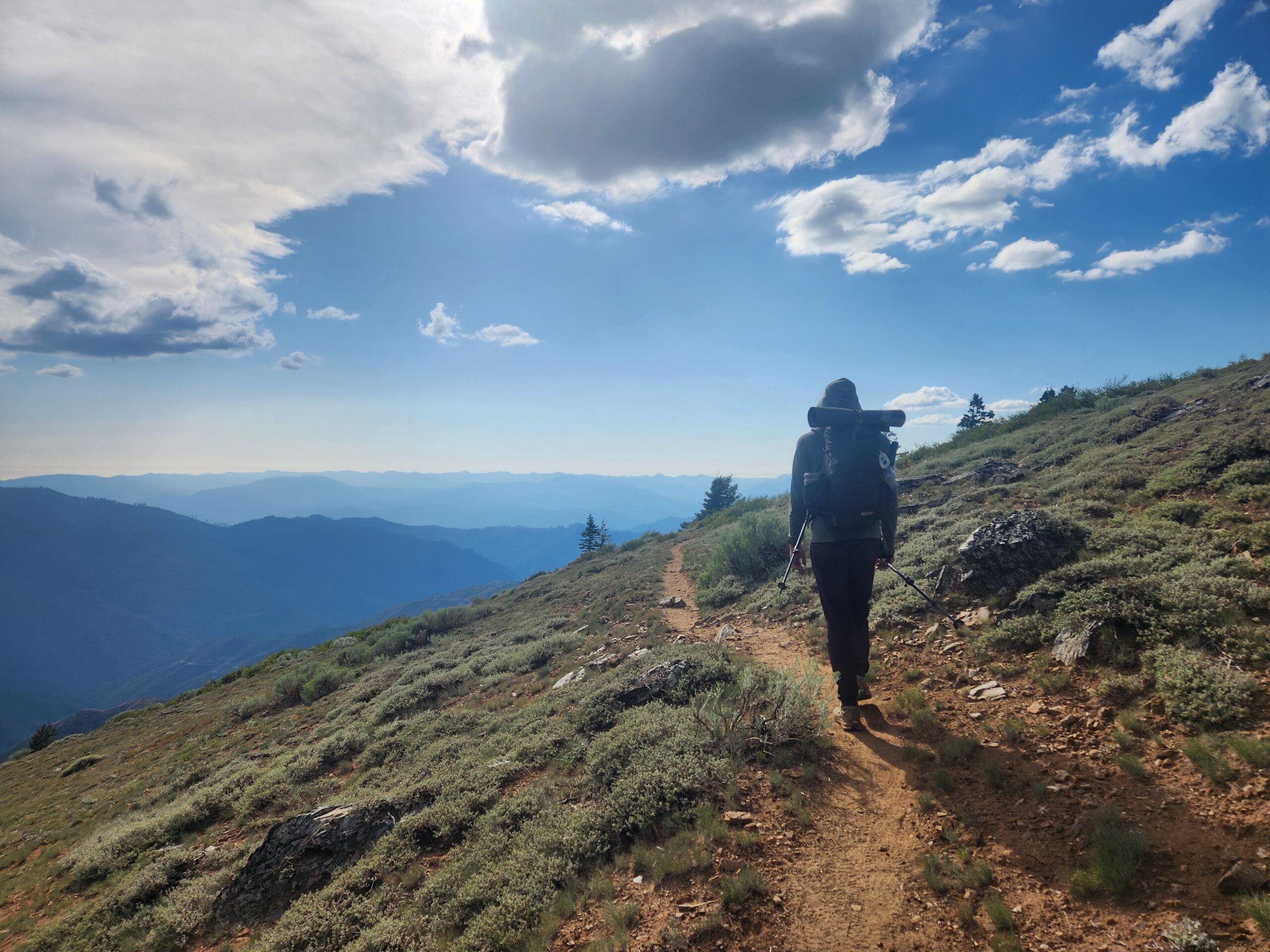
As the day wore on, clouds accumulated and thunder rumbled in the distance. While rain would probably do some good, lightning strikes are the most common way for wildfires to ignite.

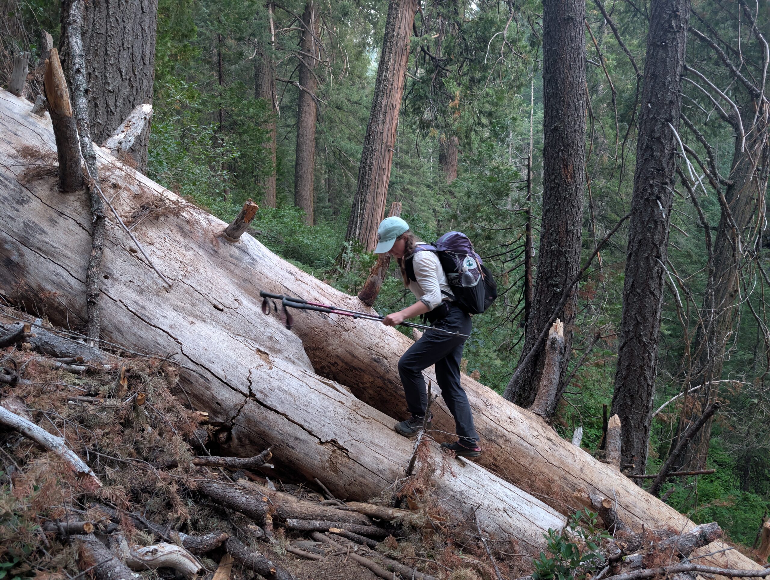
We reached our 25 mile goal, then decided to keep moving despite the threatening weather. The trail began a lengthy descent towards Seiad Valley and a portion of uncleared blowdowns made for tedious hiking. For three miles, there was a formidable tree blocking the path every hundred yards or so. Our pace slowed considerably and it was not until after 9:30pm when we rolled into camp.
What’s Next?
The Oregon border is so close. Beyond Seiad Valley, the trail will lead us out of of California and into the Pacific Northwest.
How’s It Going?
Many hikers around us are skipping significant portions of the trail. Maybe they are burning out, have a time constraint, or just do not want to hike. The challenge for us comes from the lack of consistency in the people we see. We are committed to giving the continuous footpath our best effort. We have worked too hard to fold at this point.
Everybody wants to be a bodybuilder, but nobody wants to lift heavy ass weights – Ronnie Coleman
Food & Resupply
Towns in northern California have been hit or miss in quality resupply options and are usually expensive. Both Spout and I are eating about the same as we always have. Packing out fresh food out of town is essential. I have been eating much more peanut butter. Mac & cheese is our new favorite dinner (when not burnt).

Gear Changes
- The Evernew 2L Water Carry broke, so we replaced it with a 2L CNOC Vecto. I have not had much success with the Vecto in the past, but I think it will hold up better if we only use it for storage, then transfer the water to a bottle for filtering.
- The o-rings of our Platypus Quickdraw water filters were worn out. We replaced them with garden hose washers that can be bought at any hardware store. They fit perfectly and seem to work the same.
- Spout lost her headphones.
- The motor of the PadPal air pump stopped working for a few days, but I fixed it by spinning the wheel and removing the grit stuck inside.

Notes
- The elevation gain recorded on my Garmin watch is sometimes much higher than the actual election gain we hike per day. I am not sure why, but the watch will fluctuate the current elevation even while standing still.


Excited to see you in Oregon!
I hope you’re not affected by the tsunami in anyway 🙏❤️
Visiting Carrie in NH after going on an amazing Avalon Rhine River cruise to the Netherlands, Germany, France and Switzerland with Carrie and John. Flying back home, Boston to Asheville on the 8rh
Reading all of your latest posts and as usual the wonderful job you do at journaling, Yeti! Love to you and Spout. Such an awesome adventure you are on. I look forward to reading your posts every week. Hugs and prayers for a continued safe trek.
Love, Gram Carol
That sounds so wonderful! I hope you all had a great time. I imagine floating through Europe would be such a unique experience.
Thank you for the kind words, as always.