5/6 – Day 17
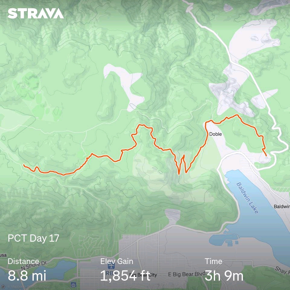
8.9 miles from Highway 18 to Caribou Creek
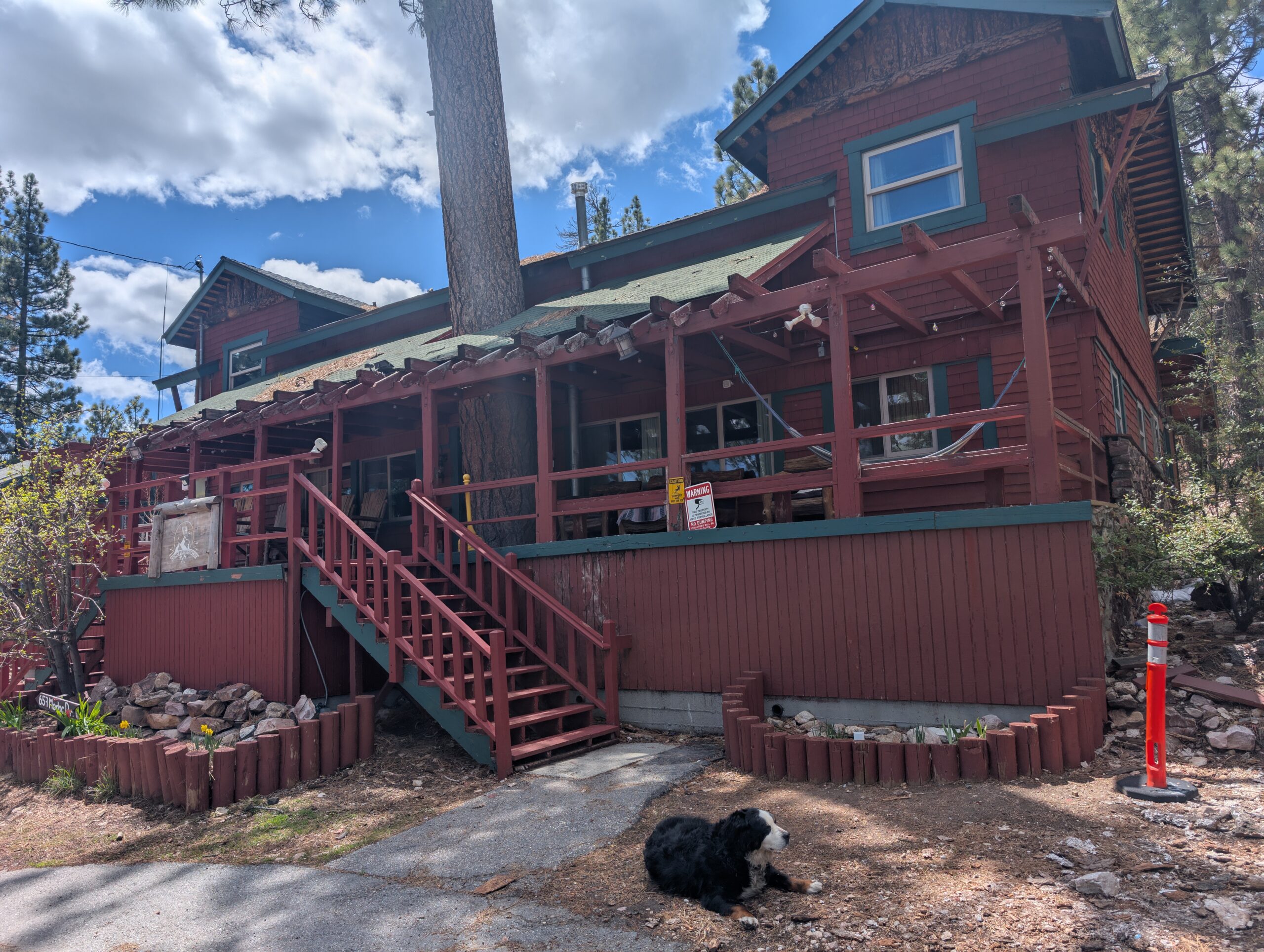
We had a relaxing morning at the Big Bear Lake ITH Hostel. Hikers swarmed the kitchen to fill their mugs with coffee. I overheard a British man attempt to explain the plot of the movie, “White Chicks”, to three Japanese men who barely spoke any English. Pure comedy.
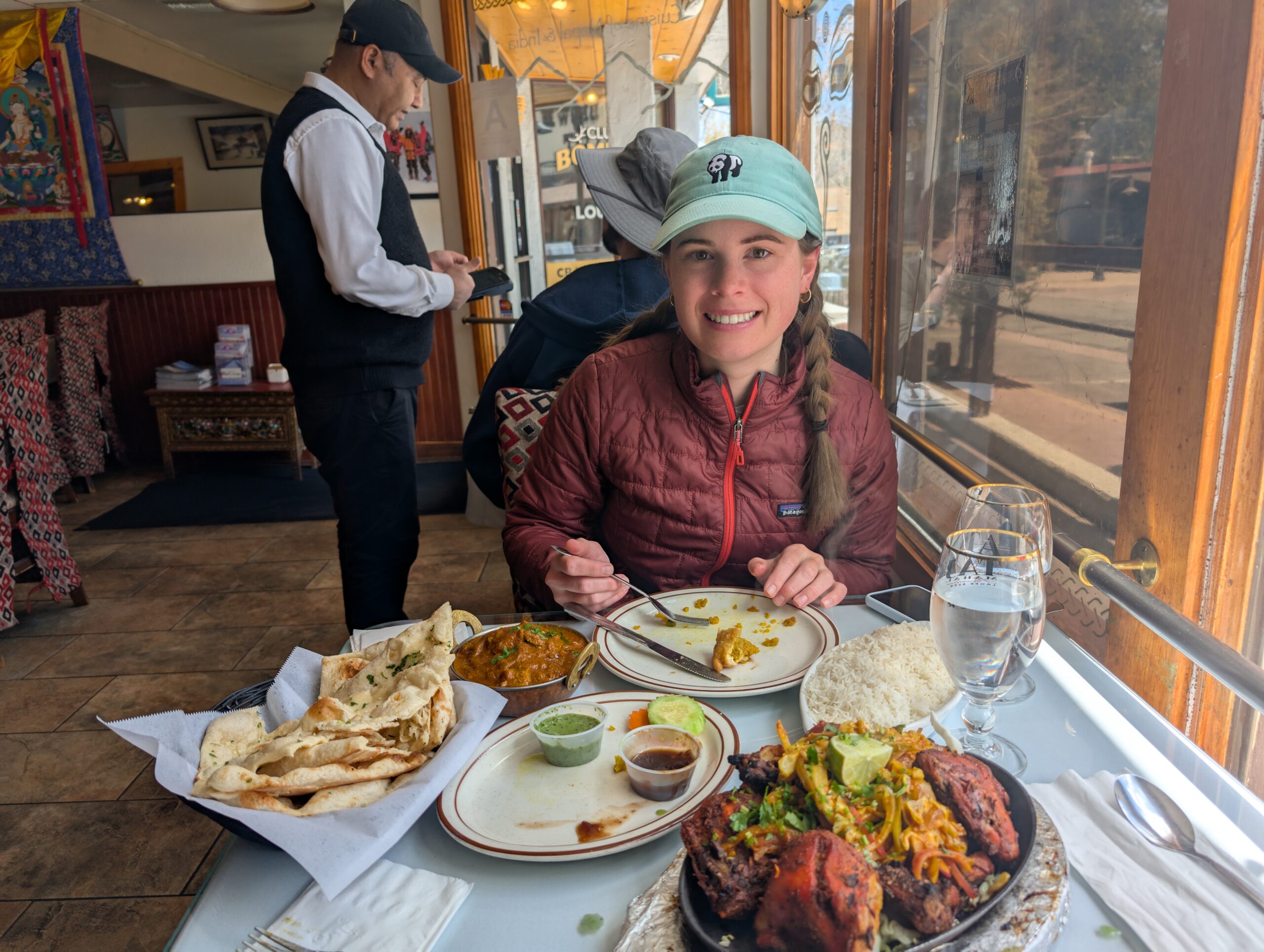
After cleaning out our backpacks and back-flushing our water filters, we chatted a bit longer with some of the friendly hiking folks, then left to grab a bite to eat. We had an early lunch at The Himalayan. My plate was a huge pile of Tandoori chicken and some lamb curry. Spout said that gobbling up the Himalayan food solidified me as Yeti, so I adopted the new name.
Big Bear Lake somehow has a better transit system than many major US cities, and we were able to hop on a free bus to take us to a Grocery Outlet & Von’s for a resupply. When that was finally done, we thumbed it back to the trailhead at Highway 18. It was after 3:00pm by time we were hiking again.
We narrowly encountered a third consecutive day of rain, but the clouds cleared up and it turned into a beautiful, cool afternoon. We took it slow, walking along the charred hills near Lake Baldwin at the most leisurely pace we could muster. Nothing too eventful happened, and sometimes that is the best kind of day.
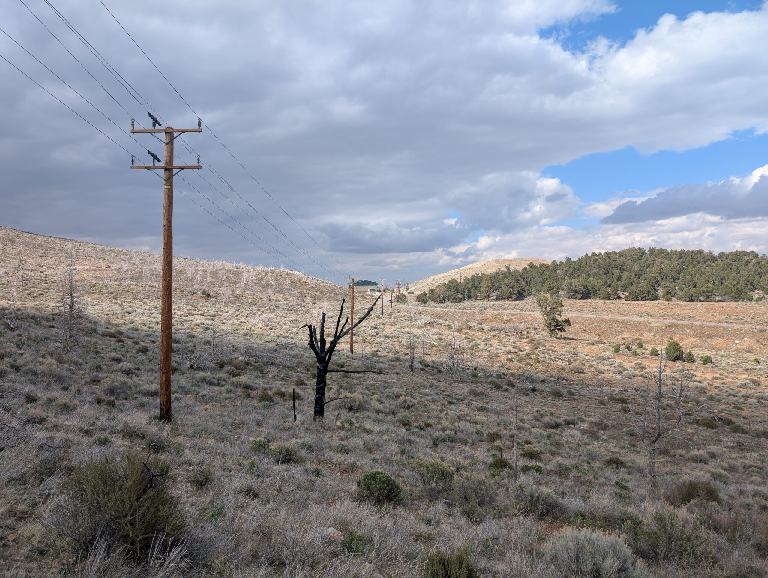
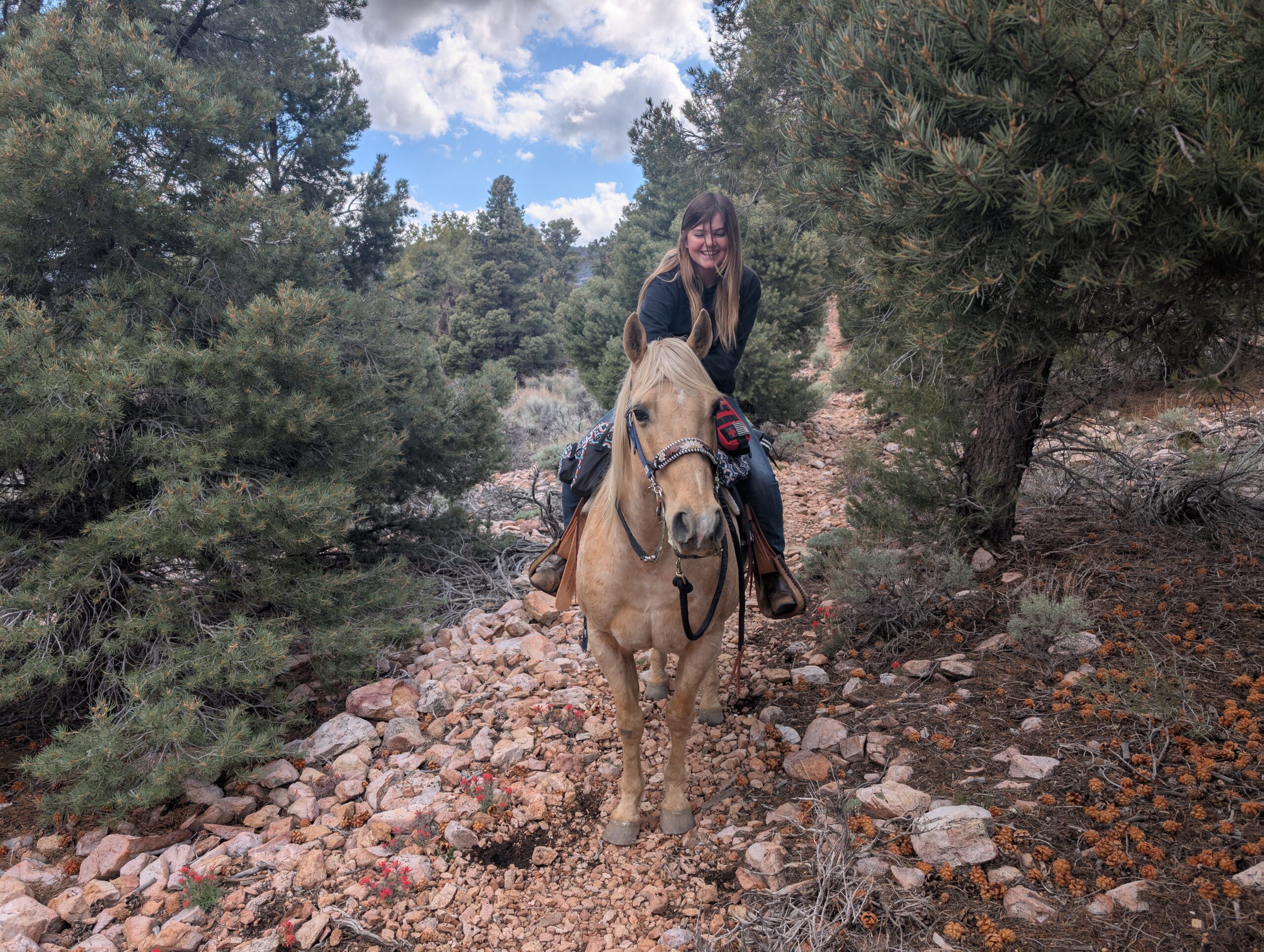
The greatest surprise of the evening came when a rider on horseback passed us heading the opposite direction. The PCT only allows two types of traffic: foot and hoof. Part of the reason the trail is so gently graded is so that horses are able to traverse it as well. This is notably different than the AT, which is strictly a footpath.
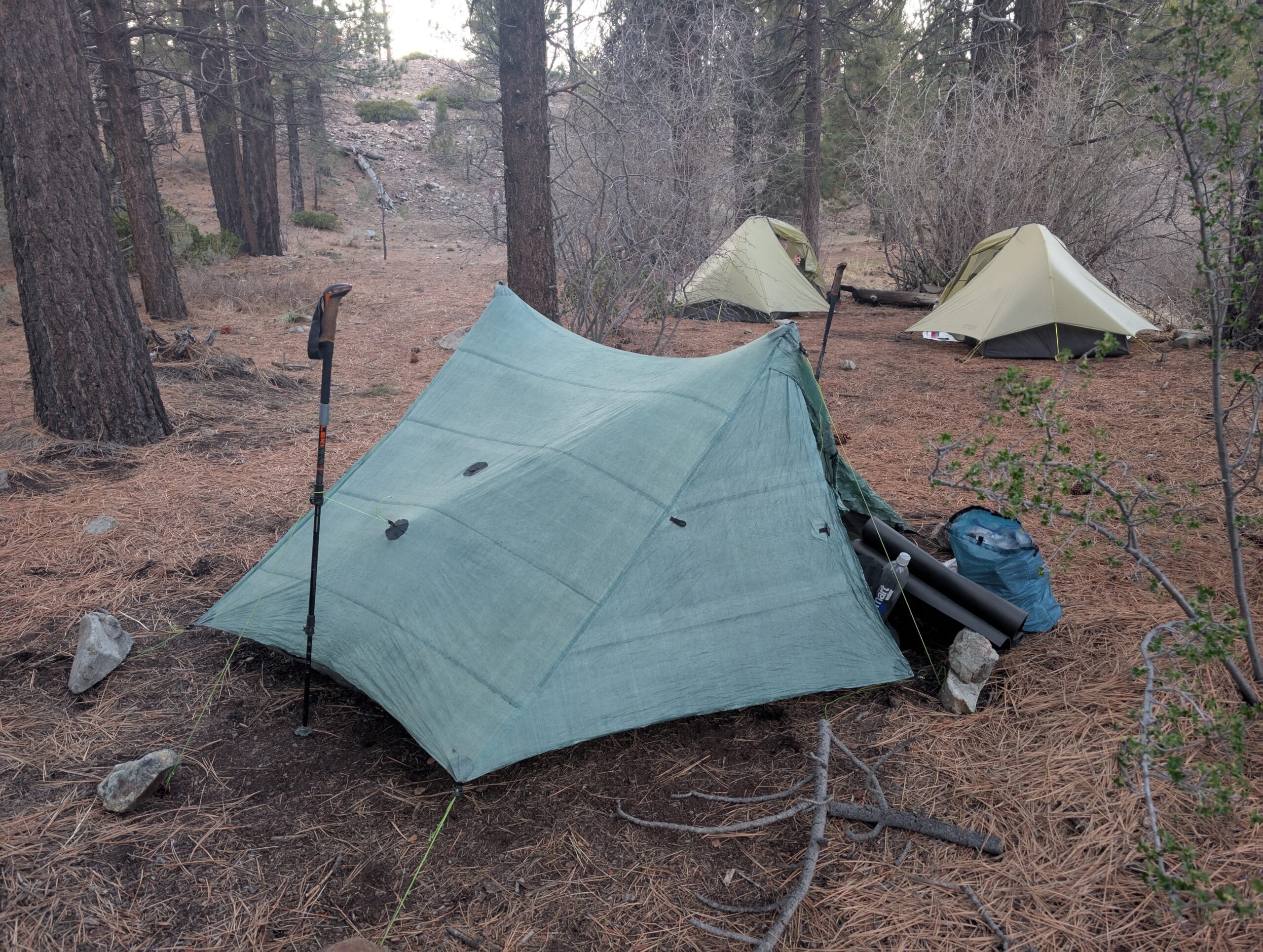
Our short hike reached its conclusion at Caribou Creek. We pitched our tent efficiently, earning some kudos from a pair of women who were hiking the trail together. At this point, we have probably set up our cozy little home 200 times, and crawling inside at the end of the day never gets old.
5/7 – Day 18
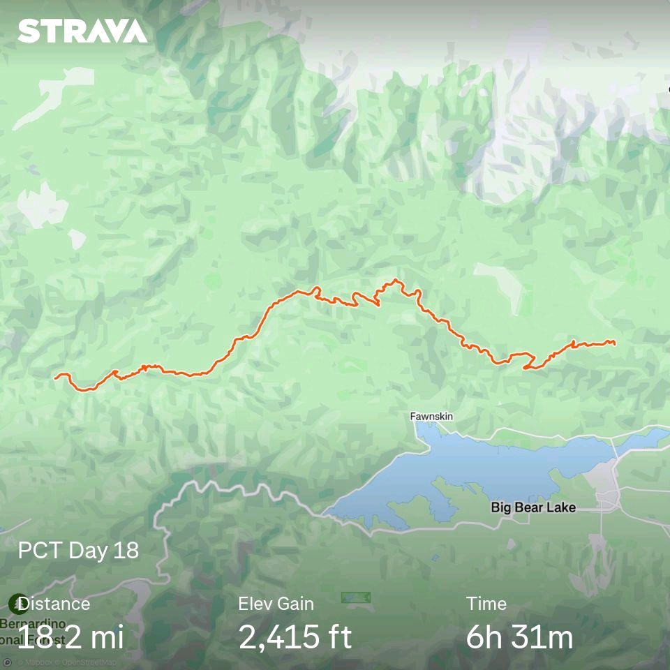
18.2 miles from Caribou Creek to Holcomb Creek
It was a cold night and frost had crystalized on our tent in the morning. The only factors that seem to influence whether it is unbearably hot or freezing cold out here are time of day and the elevation. Since we were still above 7,000′, it would stay cool throughout the morning and make for ideal hiking conditions later on.
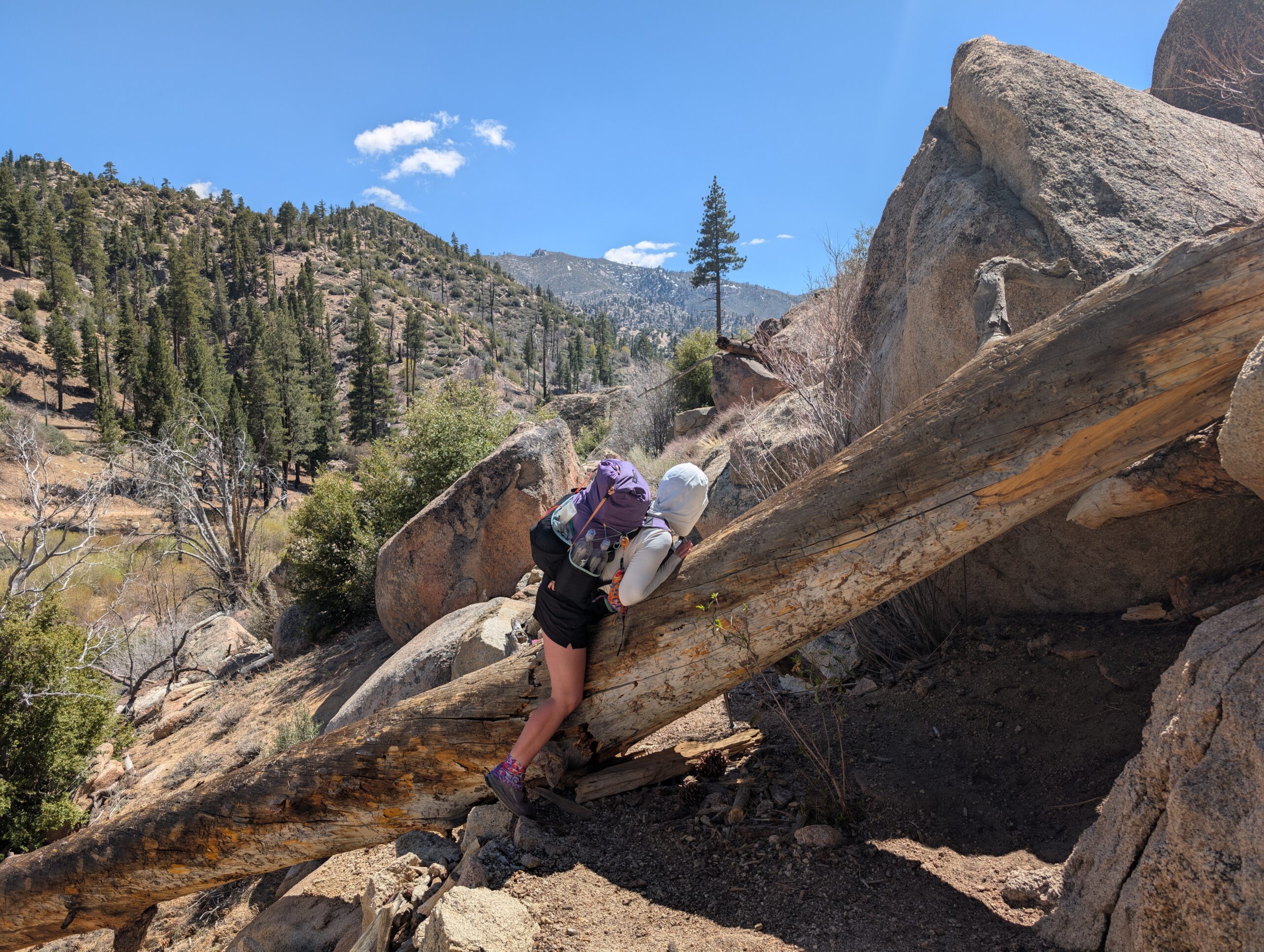
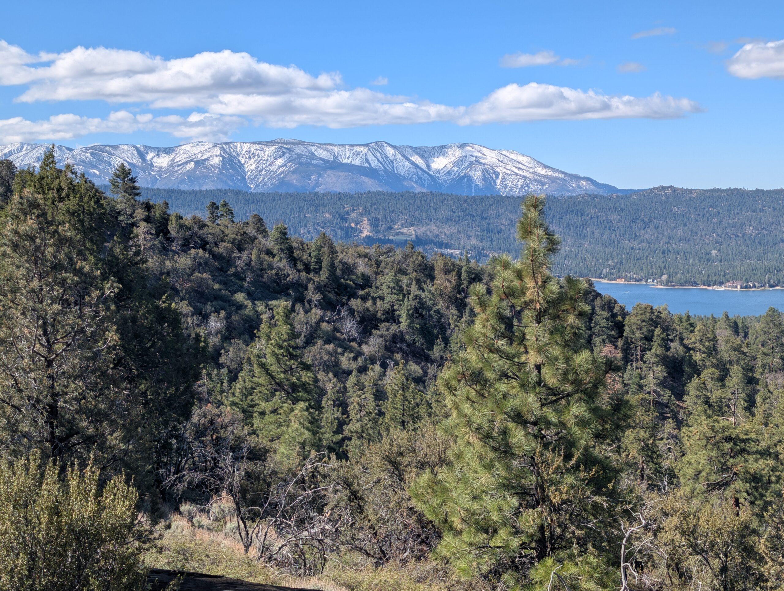
The terrain today was possibly the most pleasant we have hiked yet. Nearly every step was gradually downhill. Most of the trail was padded with pine needles, whose generous donors also offered protection from the sun. We came upon a splendid overlook of Big Bear Lake and the snow-capped peaks of Sugarloaf Mountain. I was just glad we were not up there anymore.
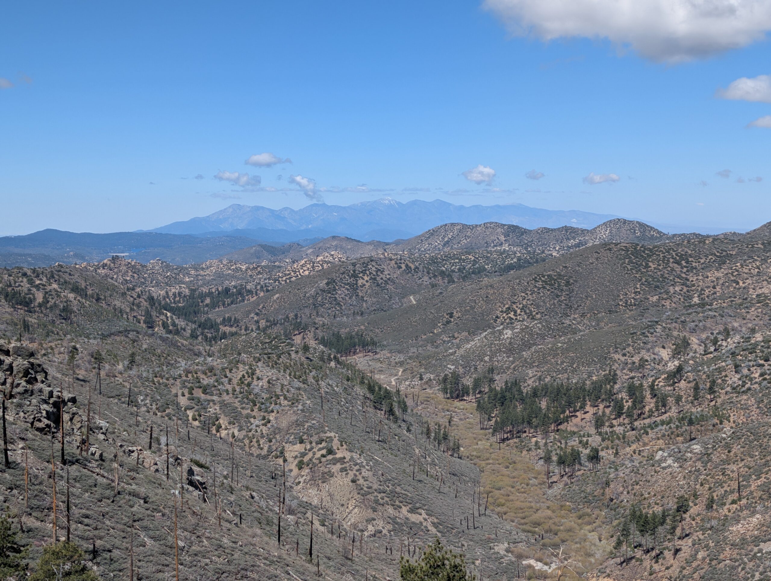
The descent eventually brought us into familiar territory, with rocks that were strikingly similar to the boulder fields north of PVC. Instead of Mt. San Jacinto, however, we saw the equally intimidating, Mt. San Antonio, many miles in the distance. At length, we reached Holcomb Creek and took a two hour lunch & siesta. Spout would prefer if we napped every day between 12:00-4:00pm, but I, admittedly, get a bit too antsy.
We passed the time for the final few miles of hiking by rehearsing our orders for the Cajon’s Pass McDonald’s, which we were still three full days of hiking away. However, it is about that time of the thru-hike where intrusive thoughts about fried cancer sticks begin to win out and we will chat about anything to pass the time.
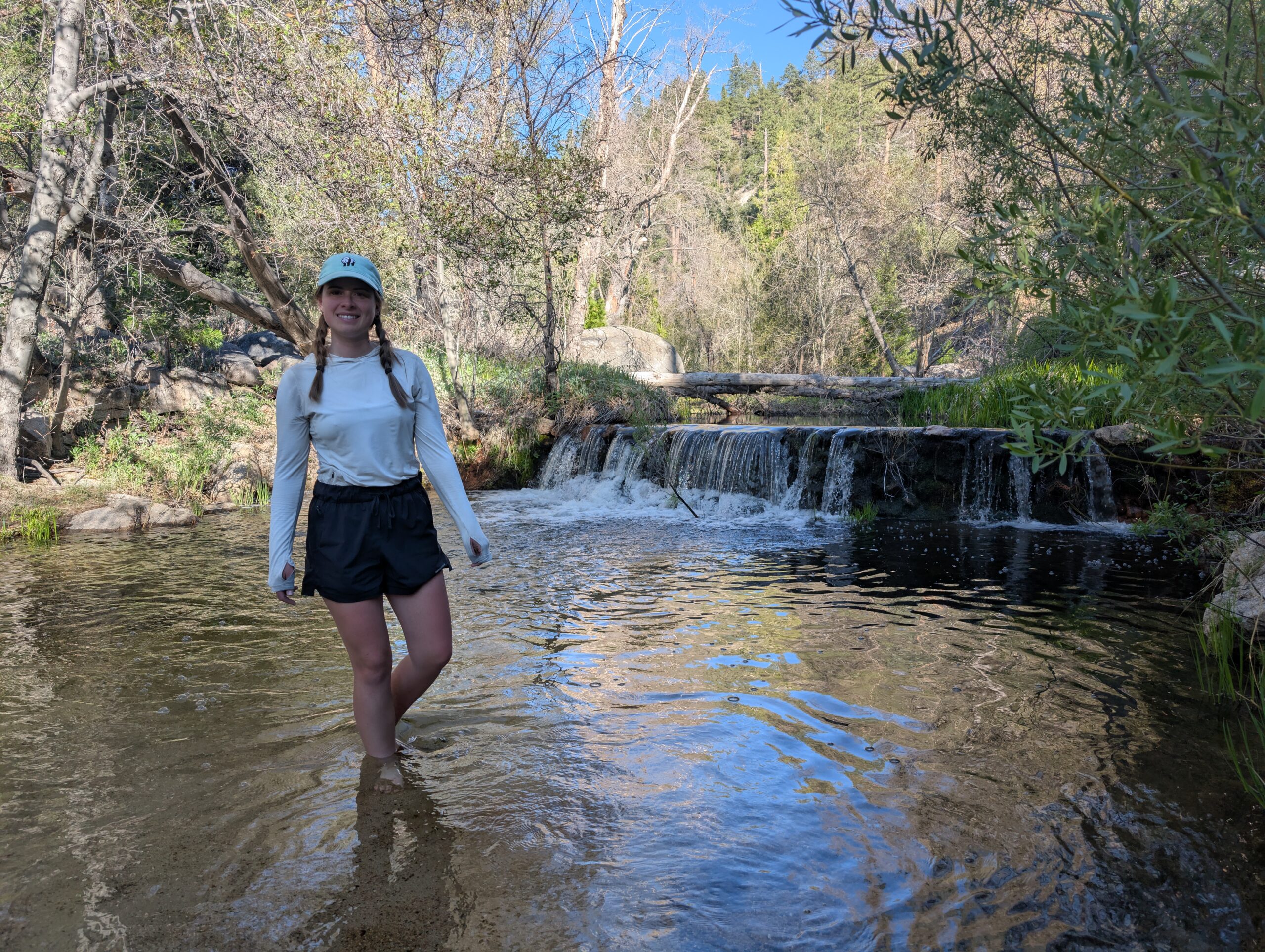
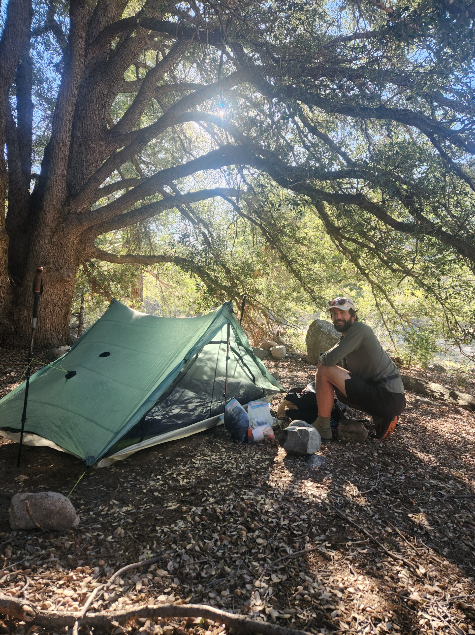
The trail rejoined Holcomb Creek at a particularly beautiful, beach campsite. Away from many flat campsites in the sand, there was a sprawling oak tree with space underneath for our tent. The nearby creek featured a small waterfall flowing into a swimming hole. After an evening soak, we fell asleep listening to the gentle noise of the crashing water.
5/8 – Day 19
14.7 miles from Holcomb Creek to Deep Creek Hot Springs
The other campers near our site on the beach woke up to heavy condensation. We were nice and dry. Selecting a spot under the oak tree allowed more radiant heat to be reflected back towards the ground, instead of escaping into the stratosphere. This greatly reduced condensation and kept us warmer. We are learning from our mistakes.
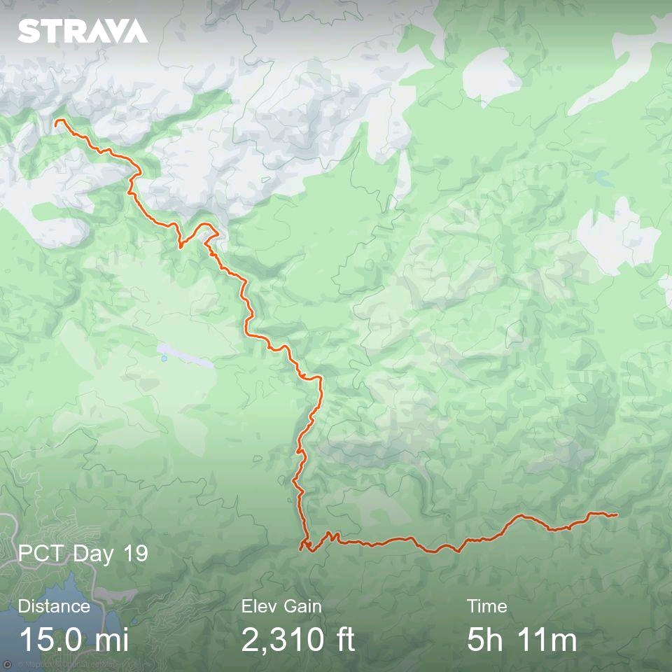
It was such a comfortable morning that we slept in a bit, hitting the trail just before 8:00am. We completed five miles of trail along Holcomb Creek to reach the Splinter’s Cabin camping area, took advantage of the lovely pit toilets, then powered ahead with lighter loads.
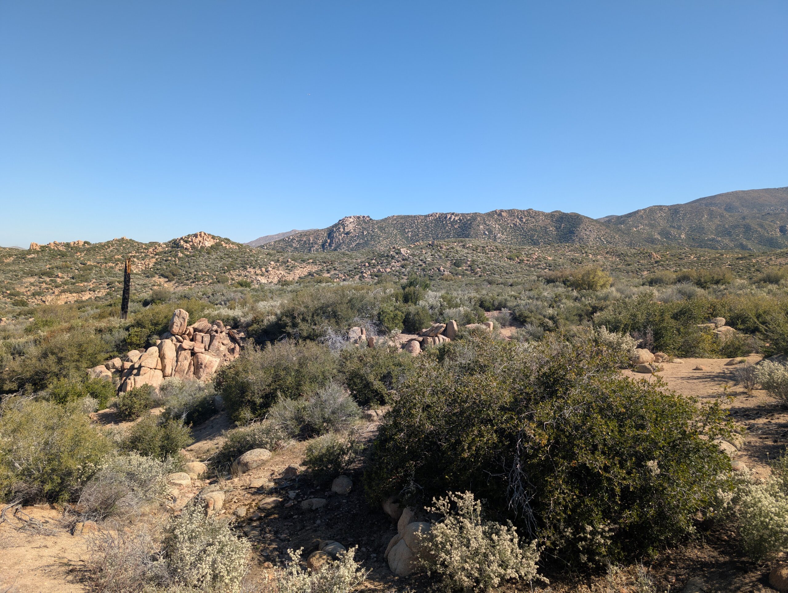
Holcomb Creek joined Deep Creek a few miles further, and the canyon that water snaked through grew dramatically in accordance to its name. The trail passed regular detours that led down to the creek. We took lunch at one of these opportunities, making sure not pass up any chance to sit by the water in this supposed desert.
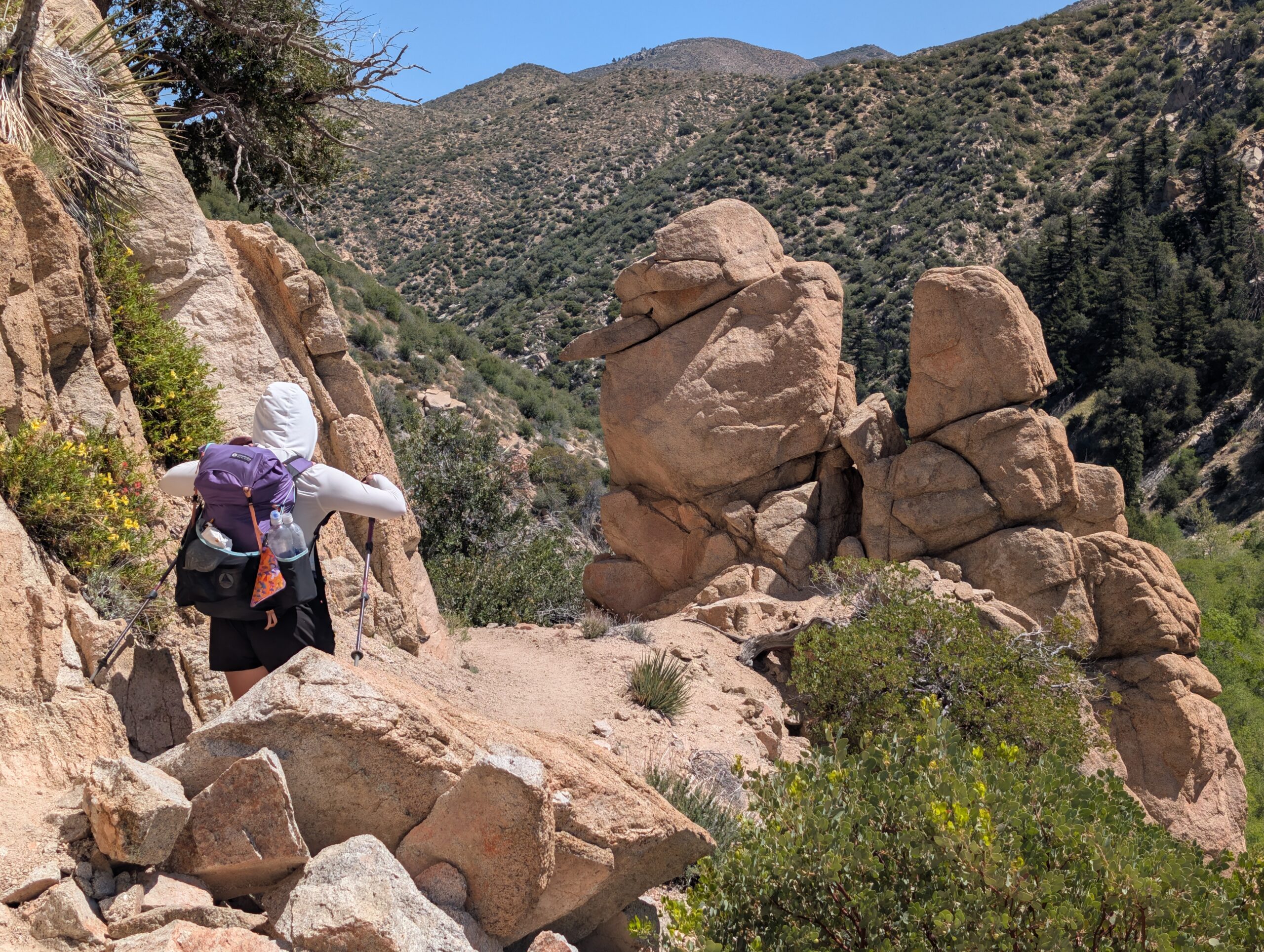
The trail continued following along the side of the mountains above Deep Creek, occasionally crossing footbridges that connected two distinct canyons. It was a hot day and we spied plenty of deep pools that made for tempting detours. However we continued hiking, not settling for anything less than the grand prize of swimming holes.
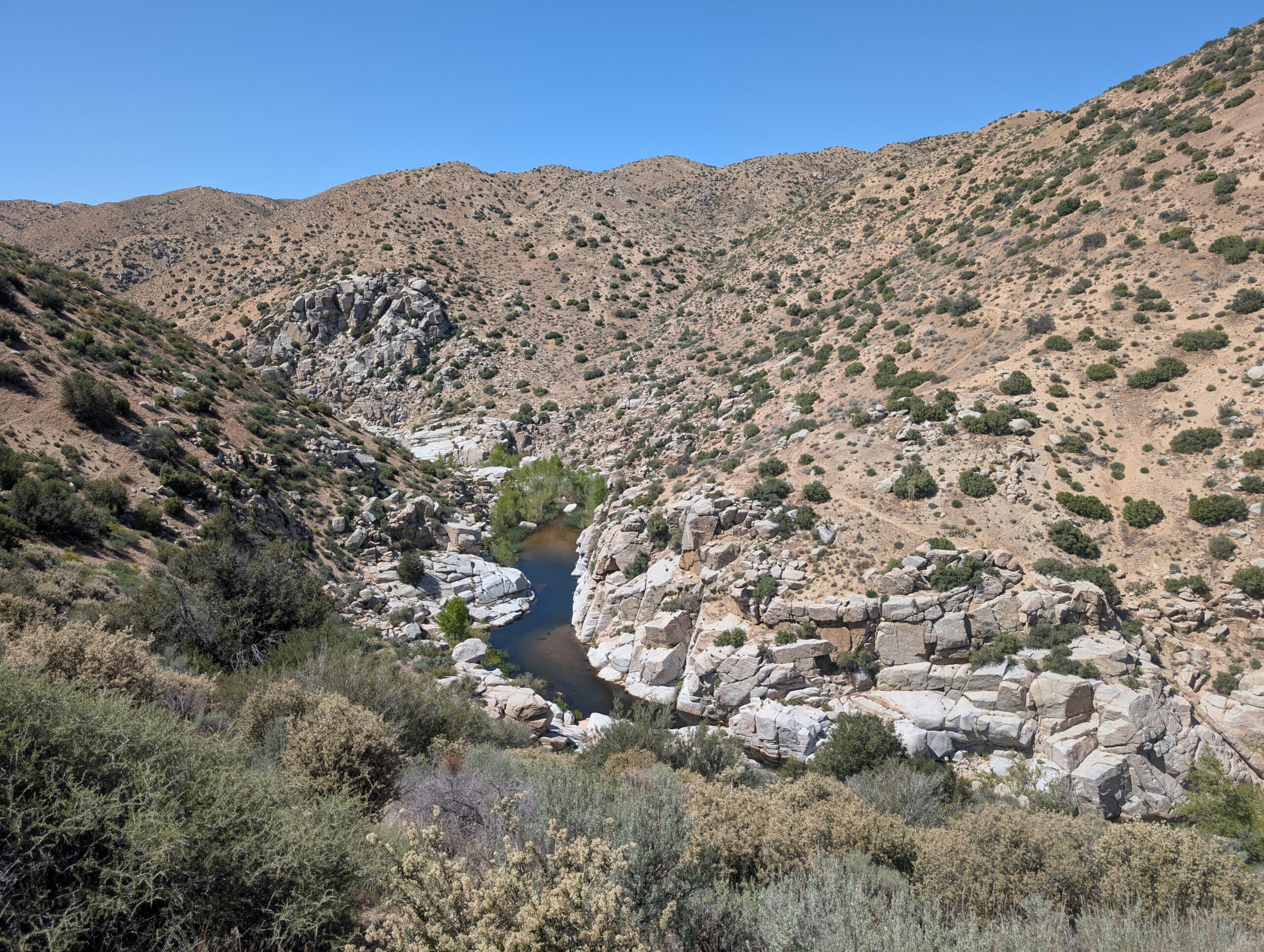
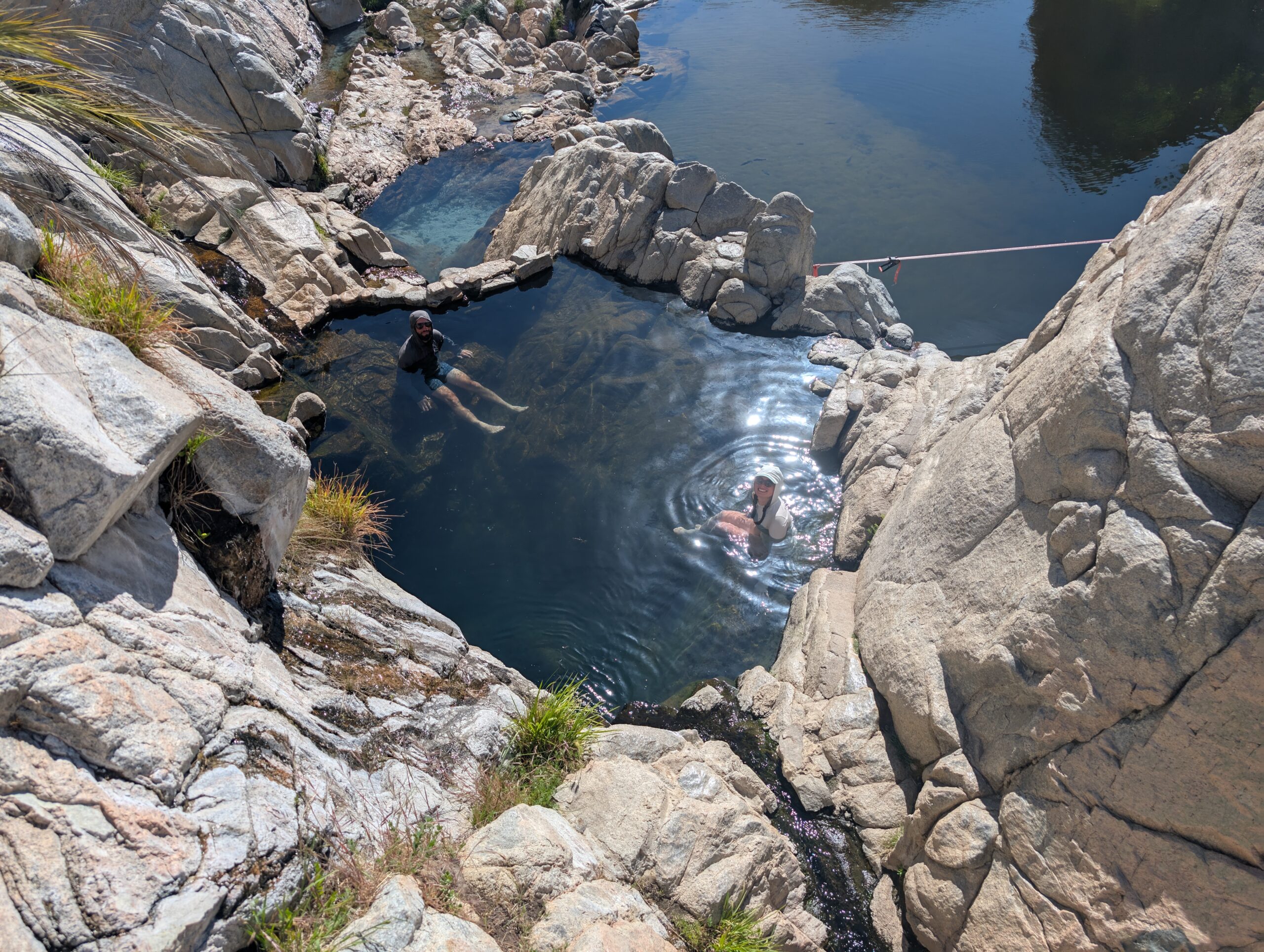
At length, we reached Deep Creek Hot Springs, a magical place where hot water flowed out of the rocks and clothing was entirely optional. Nestled in a sharp bend of the Deep Creek canyon was a series of these natural hot springs, each flowing into shallow pools. They were completely natural, save a bit of rock patching to keep the hot water in.
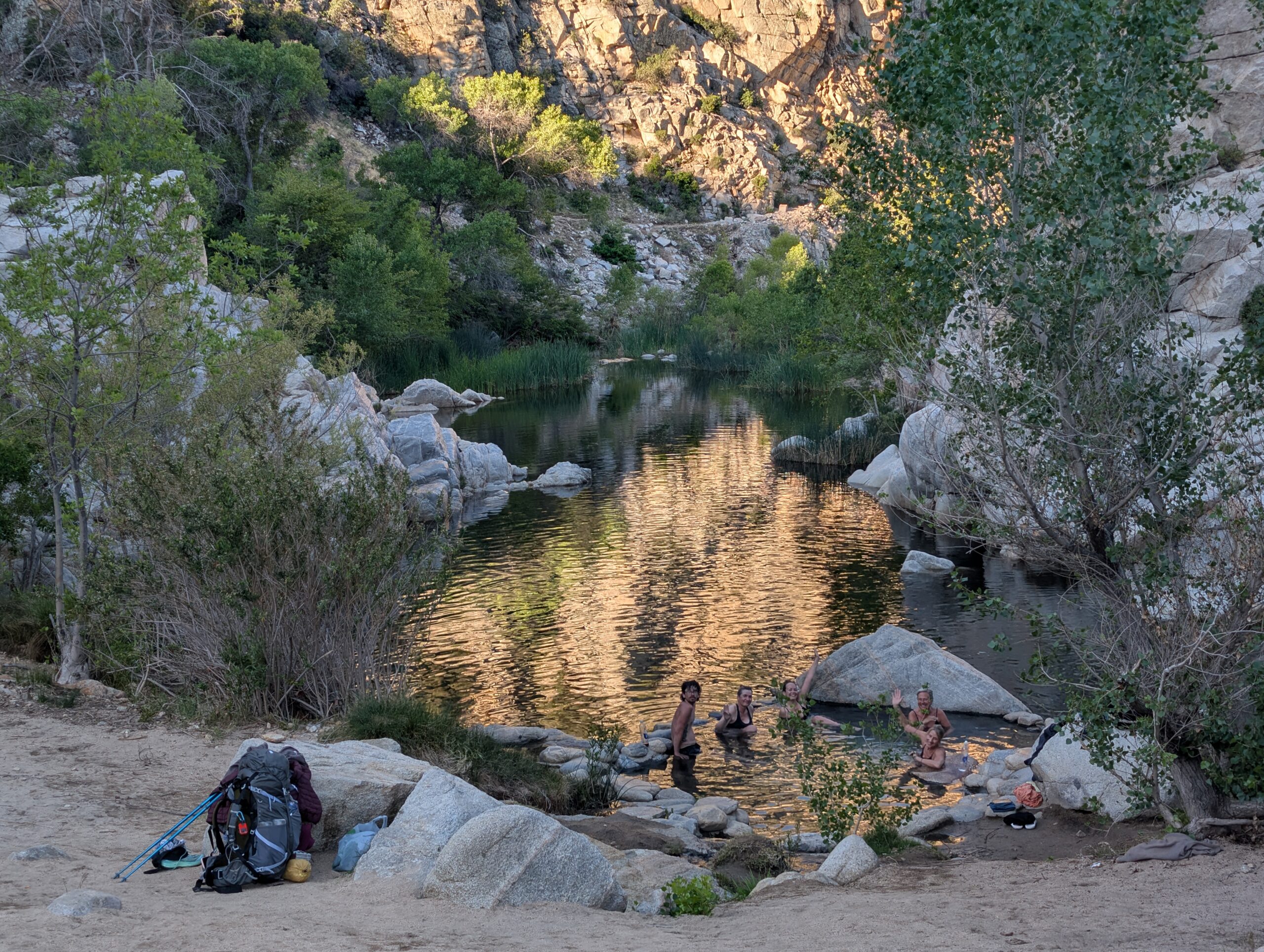
Every pool was a different temperature and separated enough for some privacy. The warm water combined with the desert cliff backdrop made for a surreal natural setting. We tried one of the hot pools, then took a cold plunge in the creek, rinsed and repeated. As the afternoon wore on and the temperature began to cool down even more, we knew we were not leaving.
I was outnumbered as man by at least 5 to 1 when a slew of female hikers showed up. Interestingly, this has been a general trend for most of the PCT thus far; more women than men (and many more foreigners than we met on the AT). I gave Allie the trail name Mallard when a cute duck swam up to a rock just a few feet from her, then tucked its head and went to sleep.
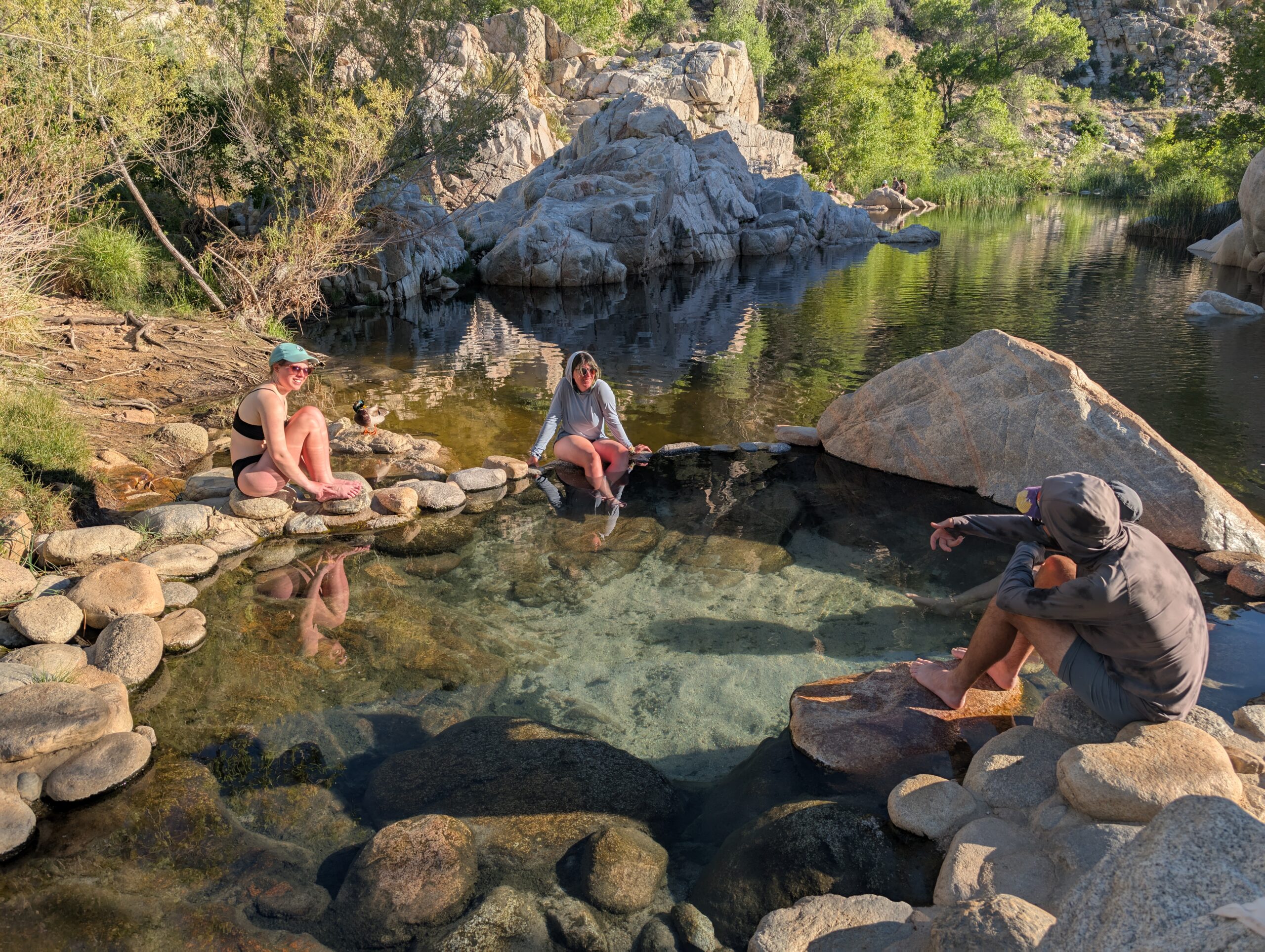
Spout and I hung out mostly with Mallard, Shuffles, and Roadrunner in the least-hot of the five springs. We soaked until well past hiker midnight when we finally had our fill. It was really an amazing place and became one of our favorite spots on the trail.
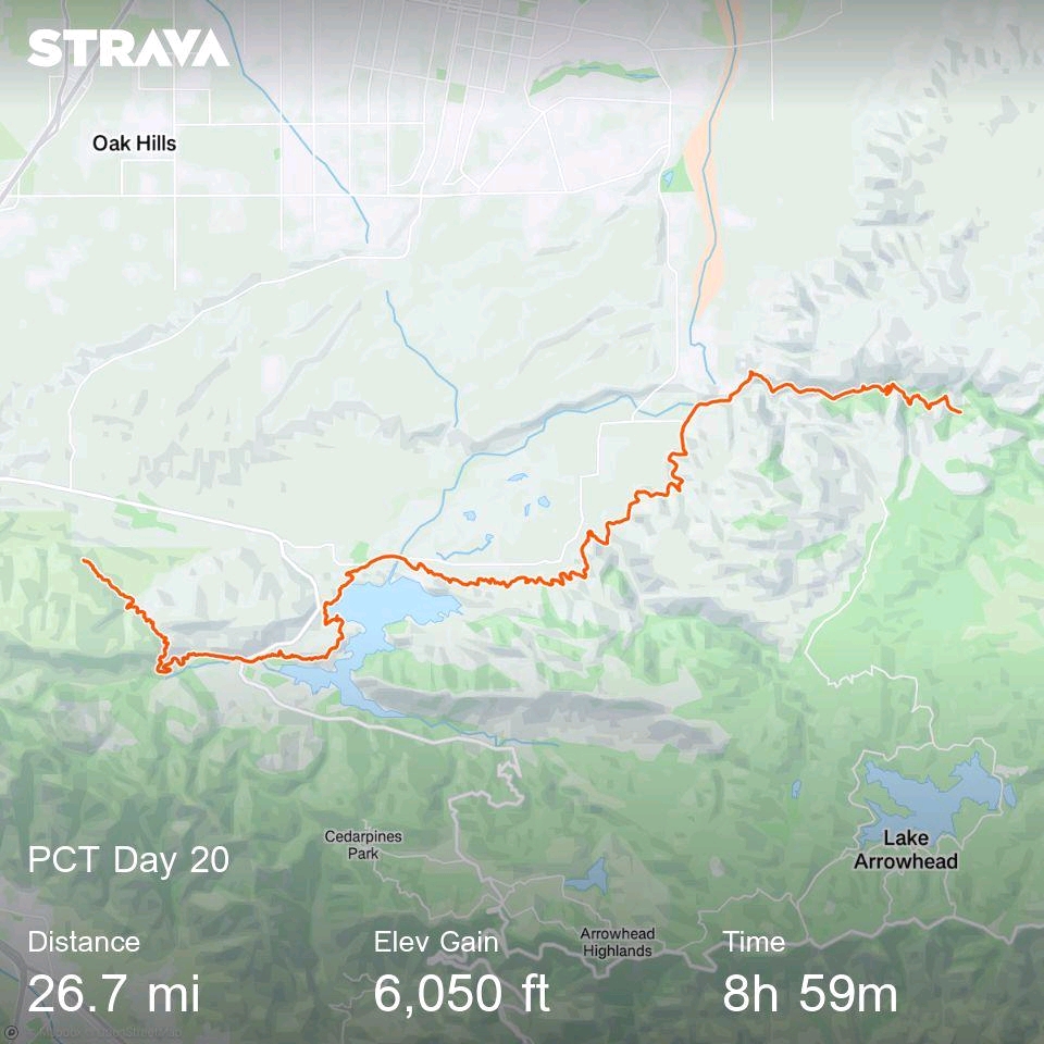
5/9 – Day 20
26.6 miles from Deep Creek Hot Springs to Dispersed Campsite
We were narrowly vortexed by the allure of the hot springs. A group of hikers were already enjoying a morning soak by the time we woke up, and they did not appear to be leaving anytime soon. However, it was supposed to be a hot day and we knew it was best to start hiking early. The trail took us through the remainder of Deep Creek canyon before spitting us out at the Mojave Forks Dam.
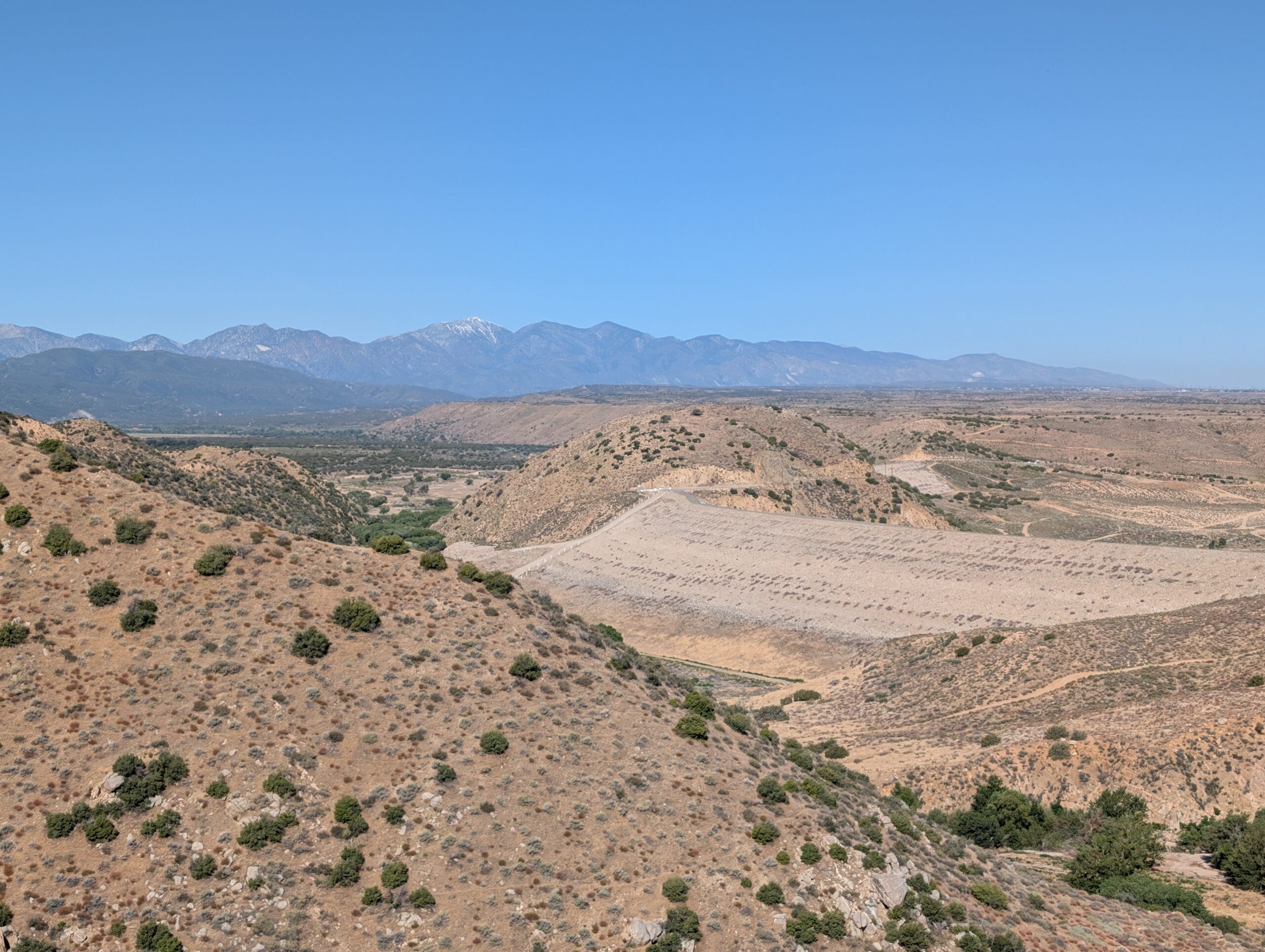
From there, we entered an exposed series of hills and the temperature started to ramp up. We took a short break at the Grass Valley Creek in the shade, debating whether or not to take a longer siesta. We opted to push to Lake Silverwood, but that meant tackling the heat of the day. After a long and somewhat regrettable stretch of sixteen miles, we came to an overlook of Lake Silverwood.
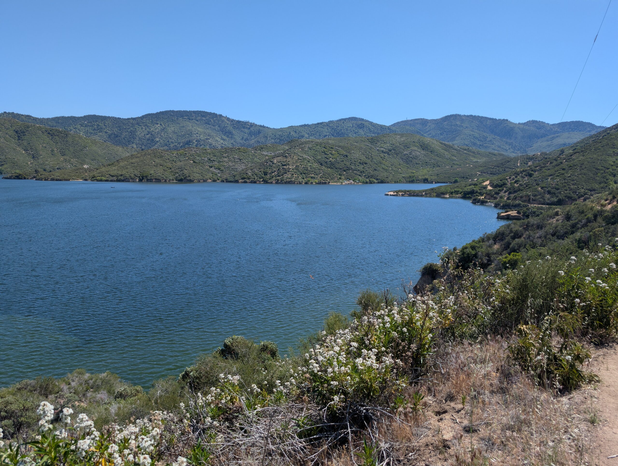
It was a gorgeous lake, but unfortunately the beaches were covered in trash. Around 3:00pm, we took a short spur trail to a picnic area with shaded gazebos. A crew of Shuffles, Mallard, Riley, Ben, and our Swiss friend Jannick all hung out for a solid three hours, refusing to leave until the sun laid off a bit. I feel that most hikers are starting to open up more now and running into someone you know always warrants excitement.
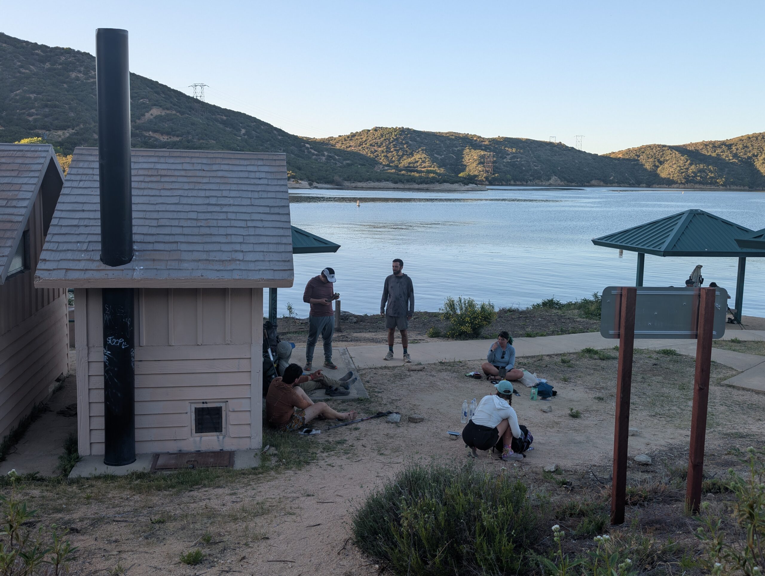
Once the sun dipped behind the mountains, Spout and I saddled up and set off once more. Our goal may seem a bit abstract, so I will do my best to explain. At mile 342, we will reach i-15 at Cajon Pass and the world famous, PCT McDonald’s. It is here that thru-hikers attempt a challenge, in which you must resupply for the next 30 miles to Wrightwood by eating only fast food.
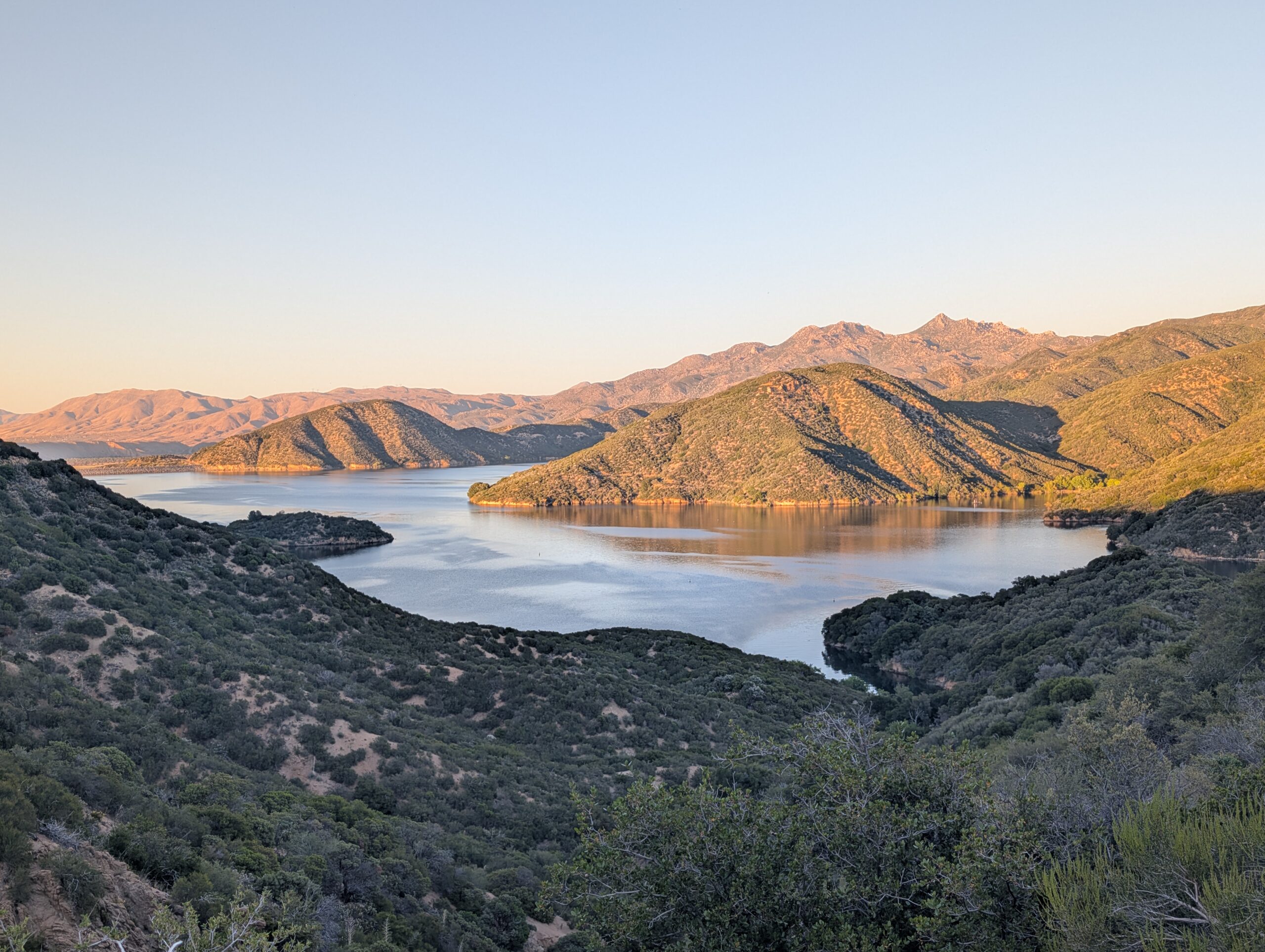
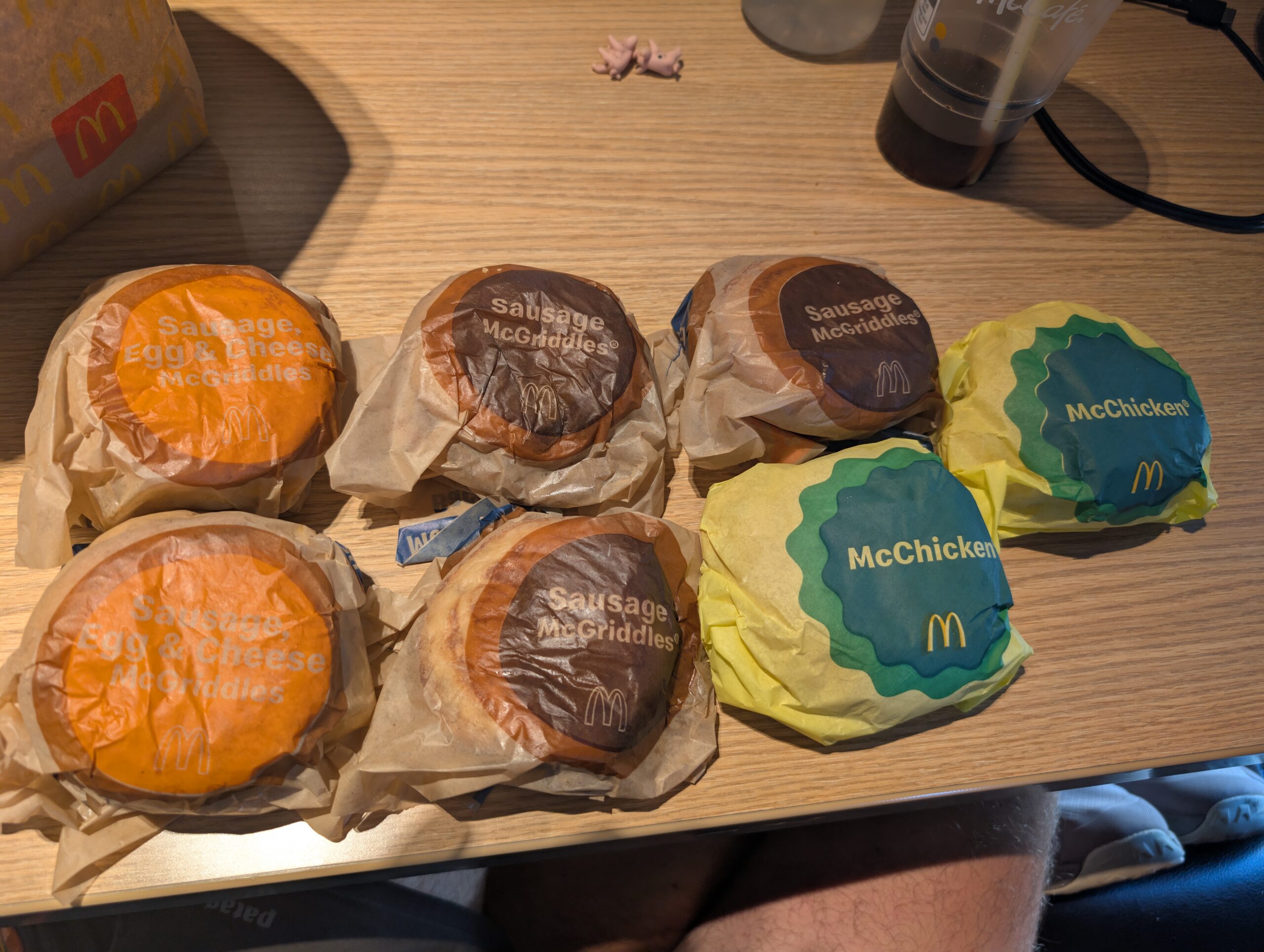
Spout and I have been planning our angle for weeks. We have concluded that the best chance of success is to avoid any menu items with vegetables, condiments, or cheese, since they will quickly spoil in the desert heat. In my estimation, one of the best items to stock up on is the plain McGriddle, a simple sausage and pancake sandwich. The trick here is that breakfast at this particular McDonald’s stops being served at 10:30am. From where we left Lake Silverwood, we were still fifteen miles away at 6:30pm. This is why we kept going.
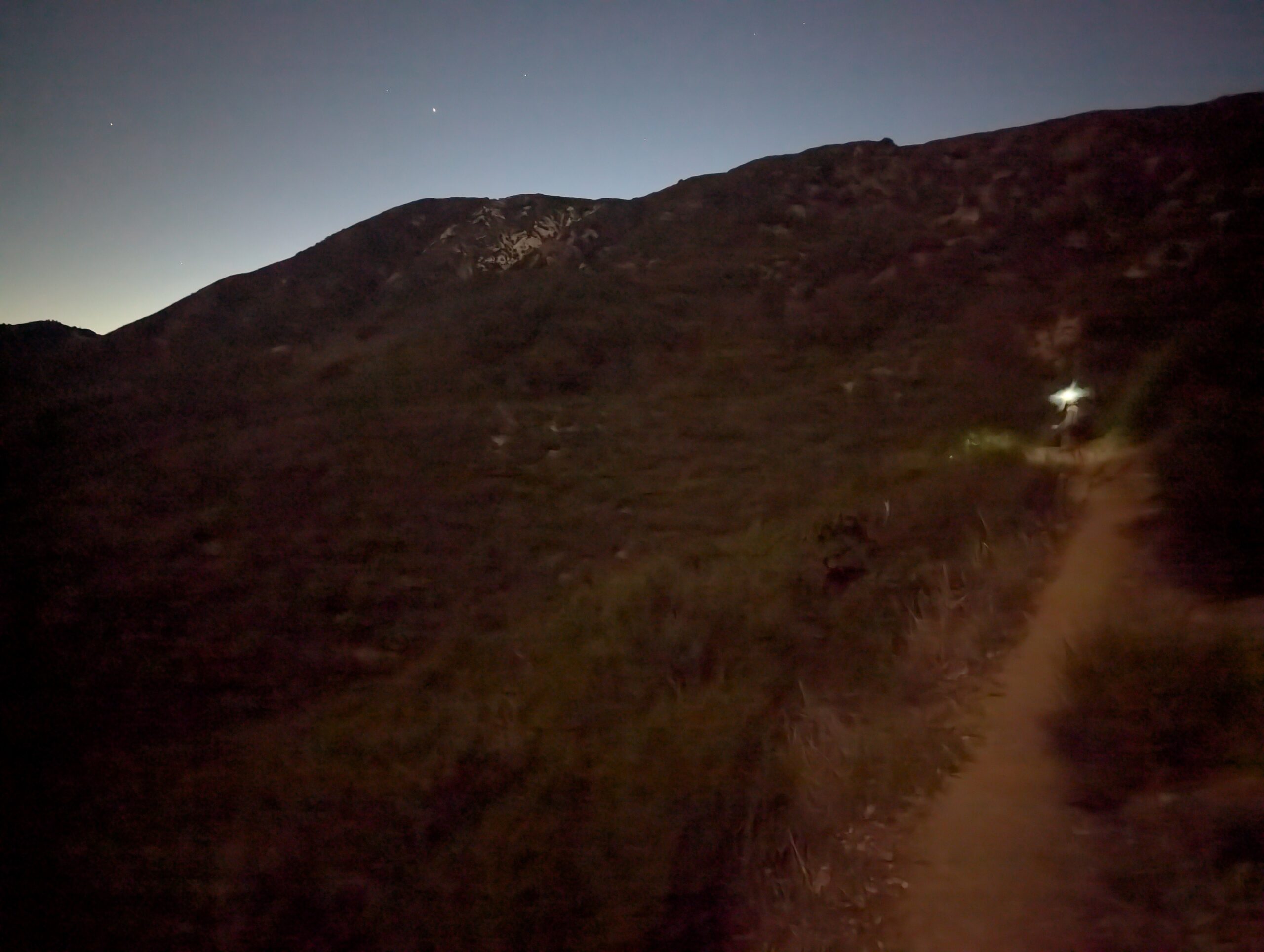
Hiking at sunset is an entirely different experience. You can travel twice as far, sweating half as much, and enjoy sublime scenery during golden hour. We only planned to hike a few miles beyond the lake, but continued on past dark, guided by the light of the waxing moon. We cruised past several occupied camping spots and finally found a suitable site in a dried creek bed. In typical thru-hiker fashion, our first marathon day of the PCT came not from chasing mountains, but from chasing McGriddles.
5/10 – Day 21
19.4 miles from Dispersed Campsite to Dispersed Campsite
The benefit of hauling so far the previous day was shortening our morning hike and extending how late we could sleep-in. My alarm rang 6:00am and we silk-blazed our way through spider webs, in hopes to be the first hikers to reach the fabled McDonald’s. Another discovered perk was beating the quickly accelerating UV index. It was uncomfortably hot just a few hours after sunrise.
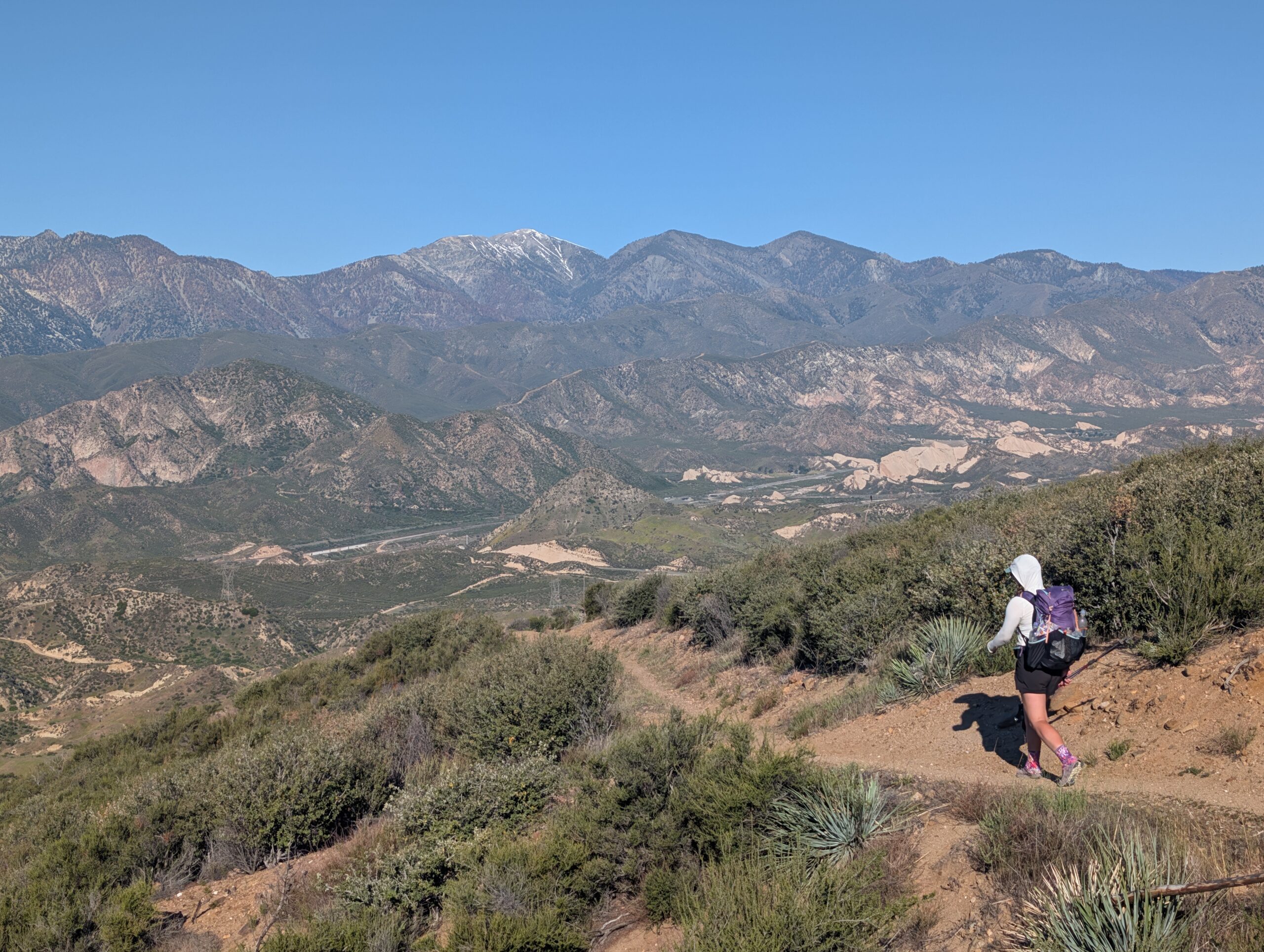
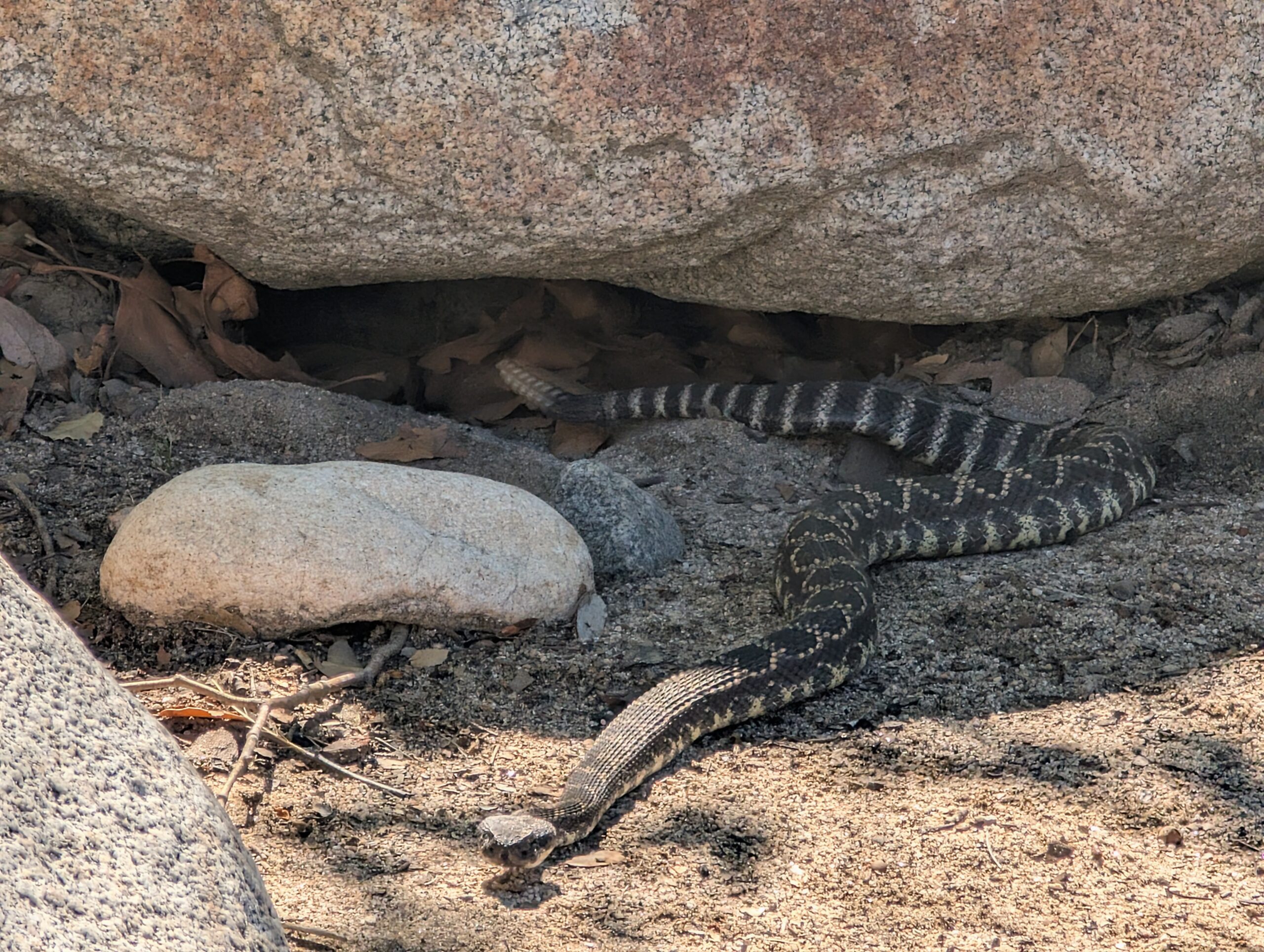
The trail continued to descend towards the rail junction of Cajon Pass. The next cluster of mountains featuring Mt. San Antonio, Mt. Baldy, Mt. Baden-Powell, and other, less impressive mounds of rocks stood in the near distance. During the hike down, Spout nearly stepped on a rattlesnake, who was basking in the morning sun.
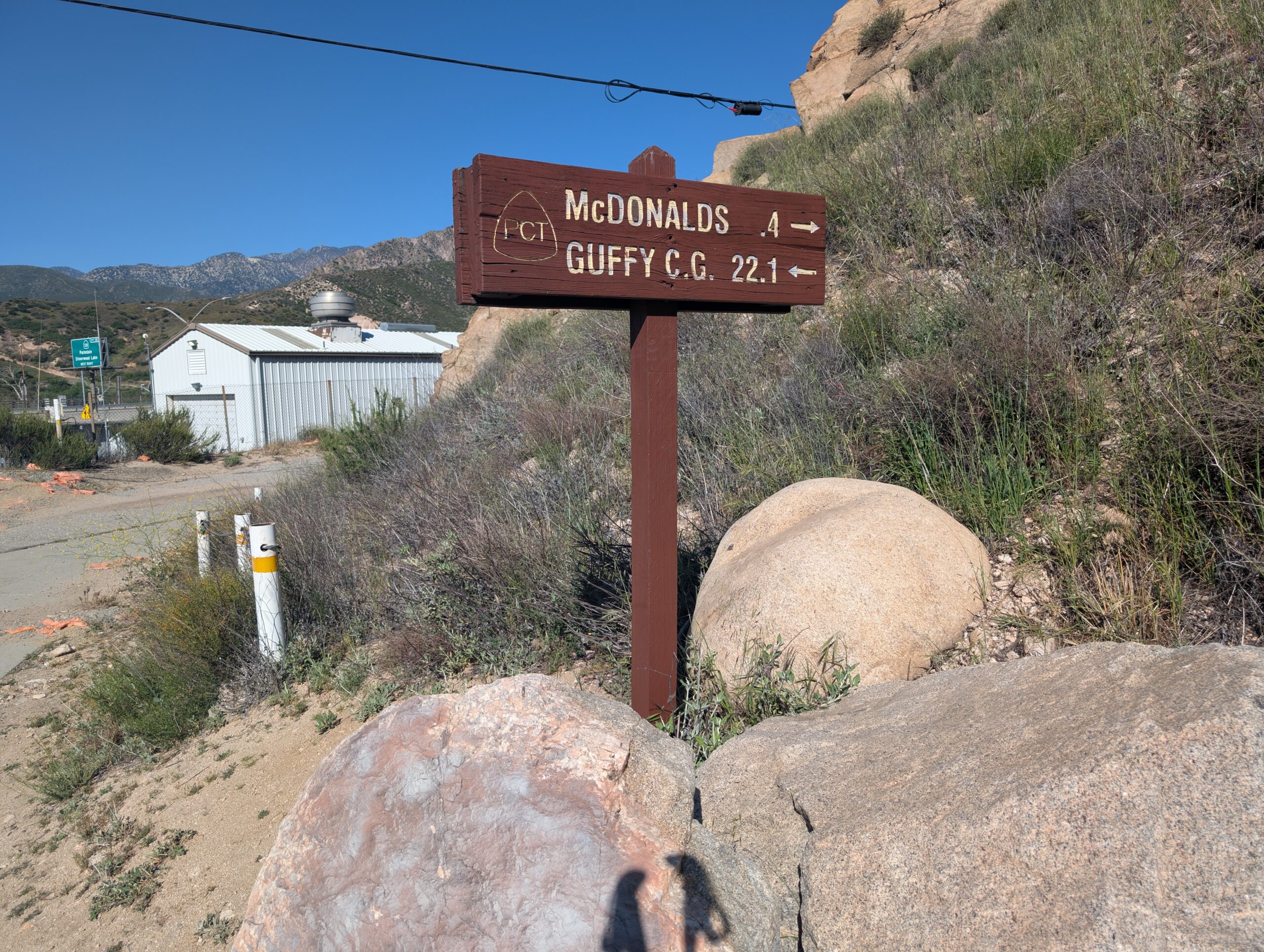
We made it to the interstate just after 9:00am and walked a short half mile along Route 66 to our destination, practically salivating as we arrived at the golden arches. This particular McDonald’s was more than a restaurant. It represented everything we were hoping to find when embarking on the PCT. From the moment we stepped through the door, I knew we were in for a treat.
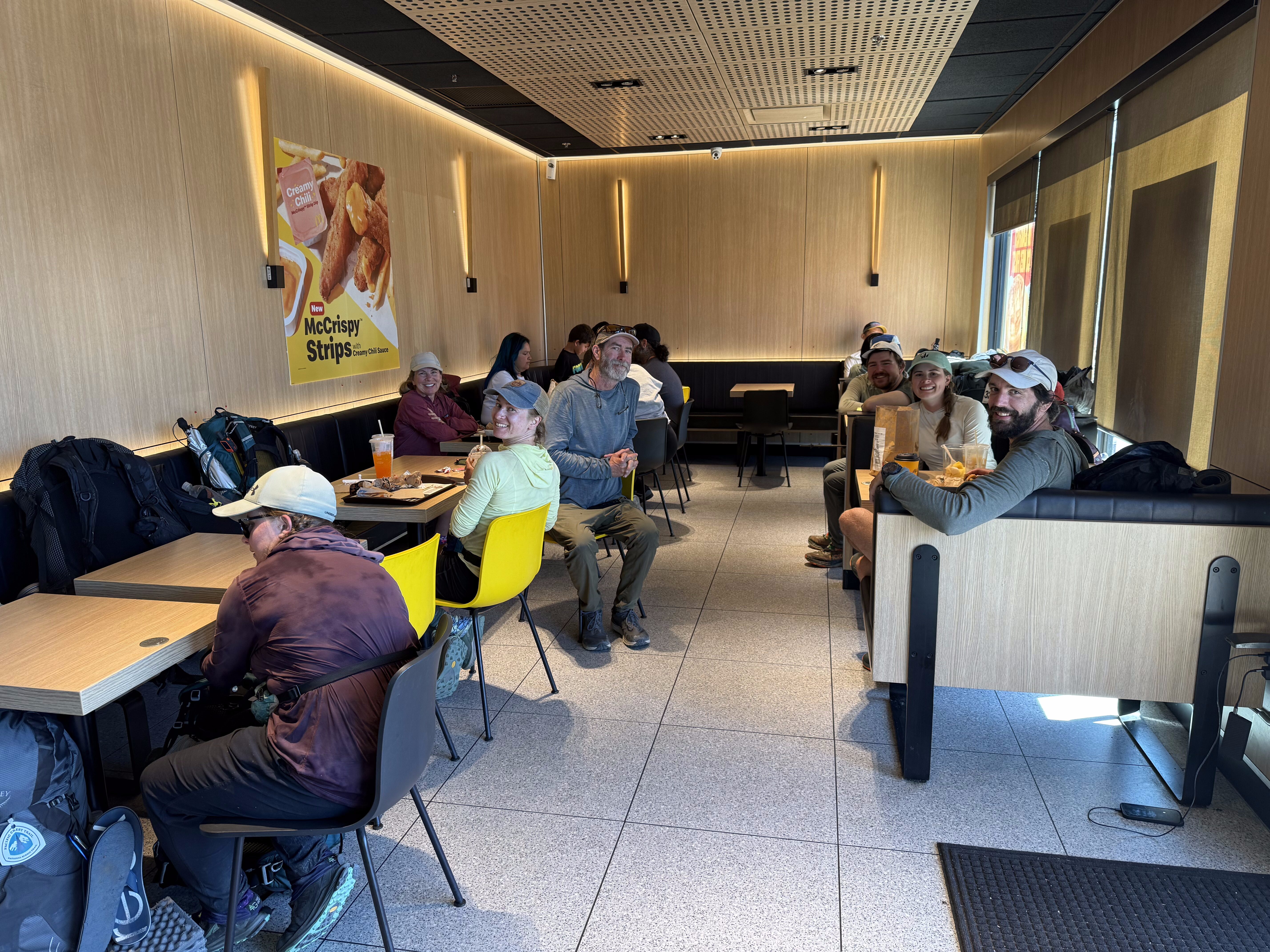
At least 20 hikers gathered inside, occupying the entire eastern wing of the dining room. Other people were naturally repelled by our collective stench, and sat far away towards the counter area. The thru-hikers’ territory had a few strategic advantages, including close proximity to the restroom and access to the power outlets. We bonded with the other hikers, sharing stories, sipping coffee, eating hotcakes, living large.
We stayed in that McDonald’s throughout the afternoon. Soon, the menu switched over to lunch and we indulged ourselves yet again. Employees came in for the day, worked a full 8 hour shift, then clocked out, and still we sat there. We ate dessert or played Pass the Pigs to kill the time. It was over 90° outside and was completely foolish to leave the air-conditioning until it cooled off a bit. Spout and I formed an alliance with Ben and Jannick, finally agreeing to move on around 5:00pm.
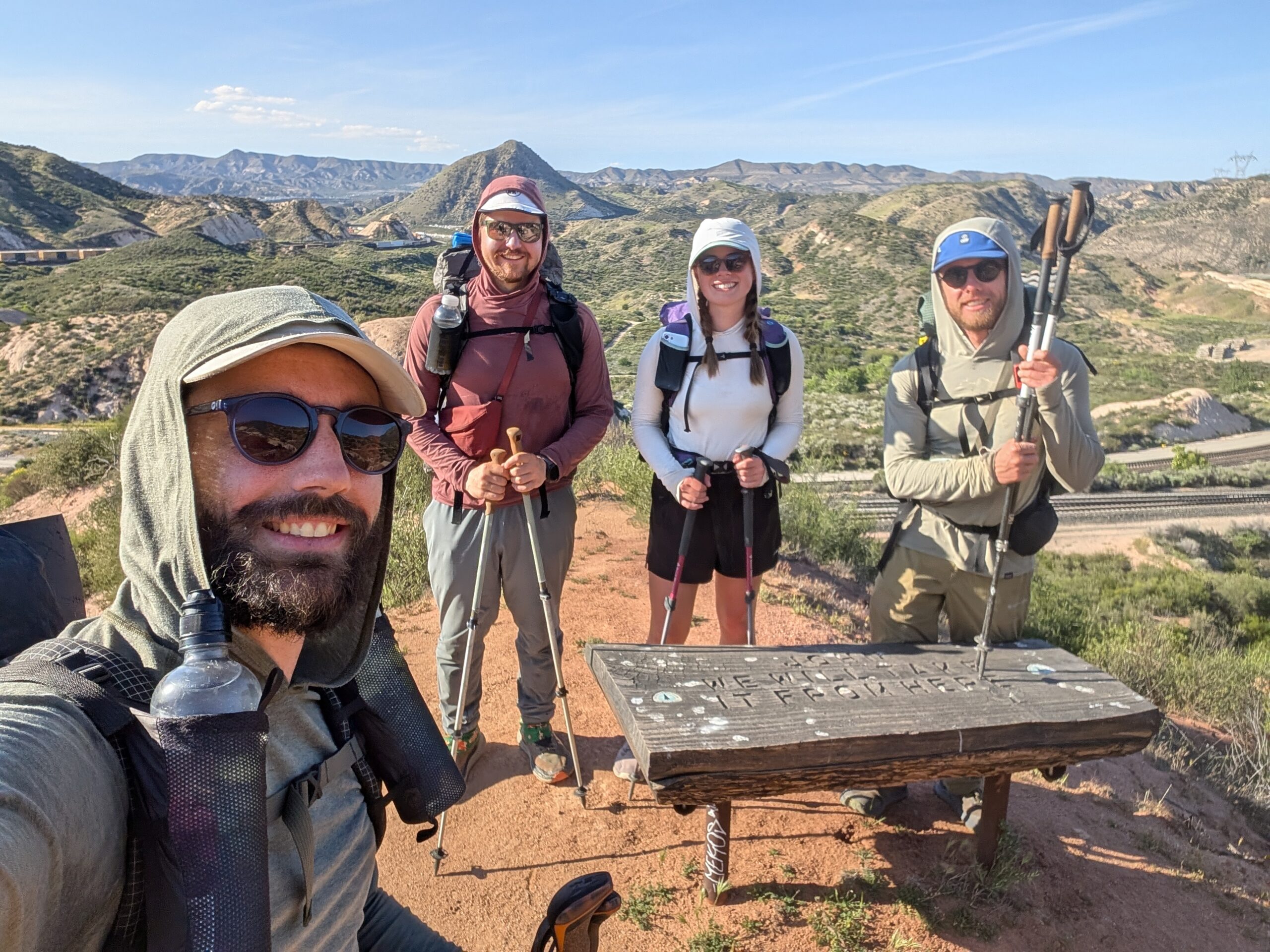
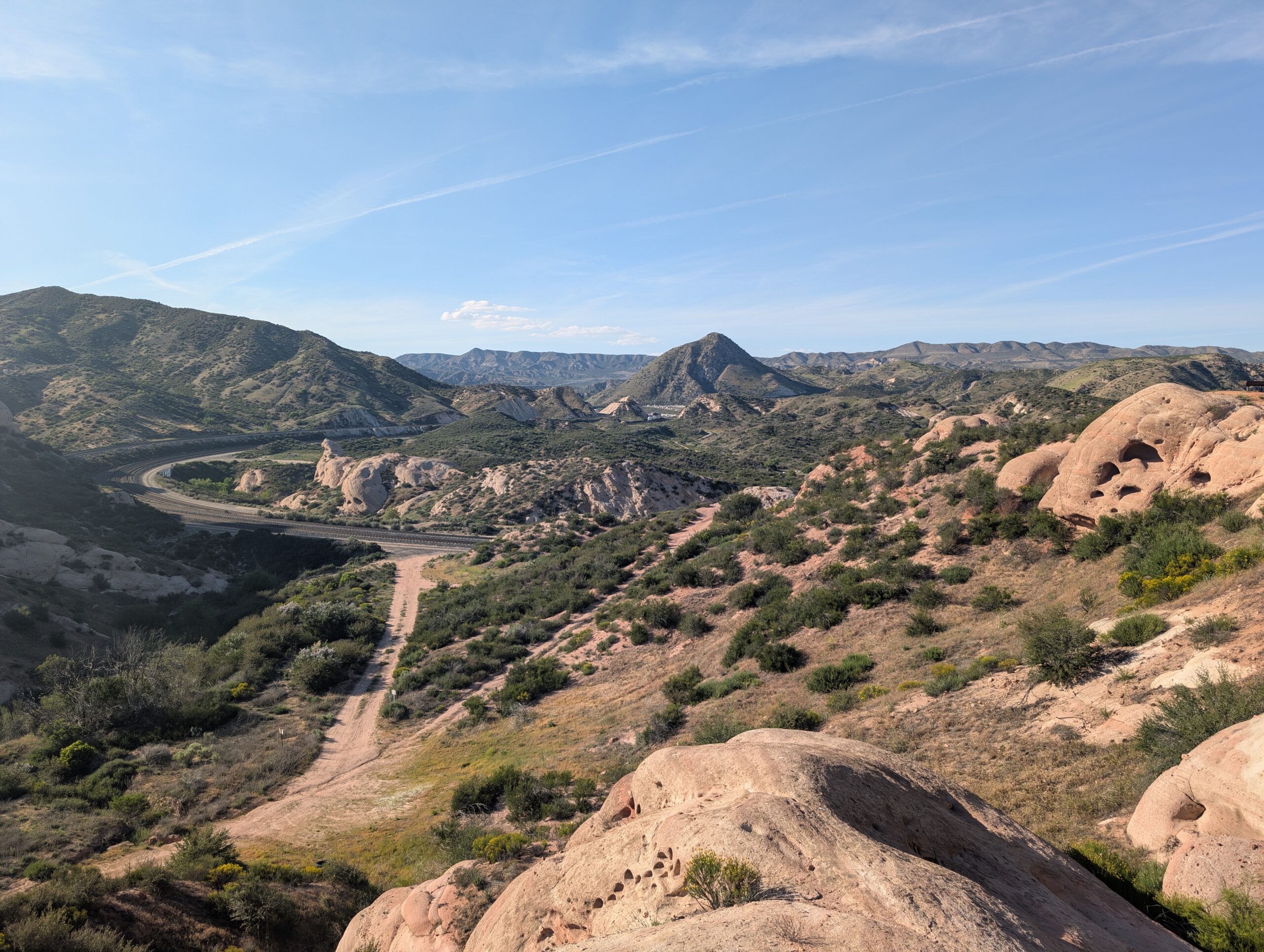
The region of Cajon Pass was like the set of an old, Western movie. Trains lumbered along winding tracks between sandstone formations, known as the Mormon Rocks. We crossed several lines of tracks before escaping into the rolling hills. Though it was nearing prime hiking conditions, we stumbled into trail magic at the next dirt road crossing that shut us down for another hour or so.
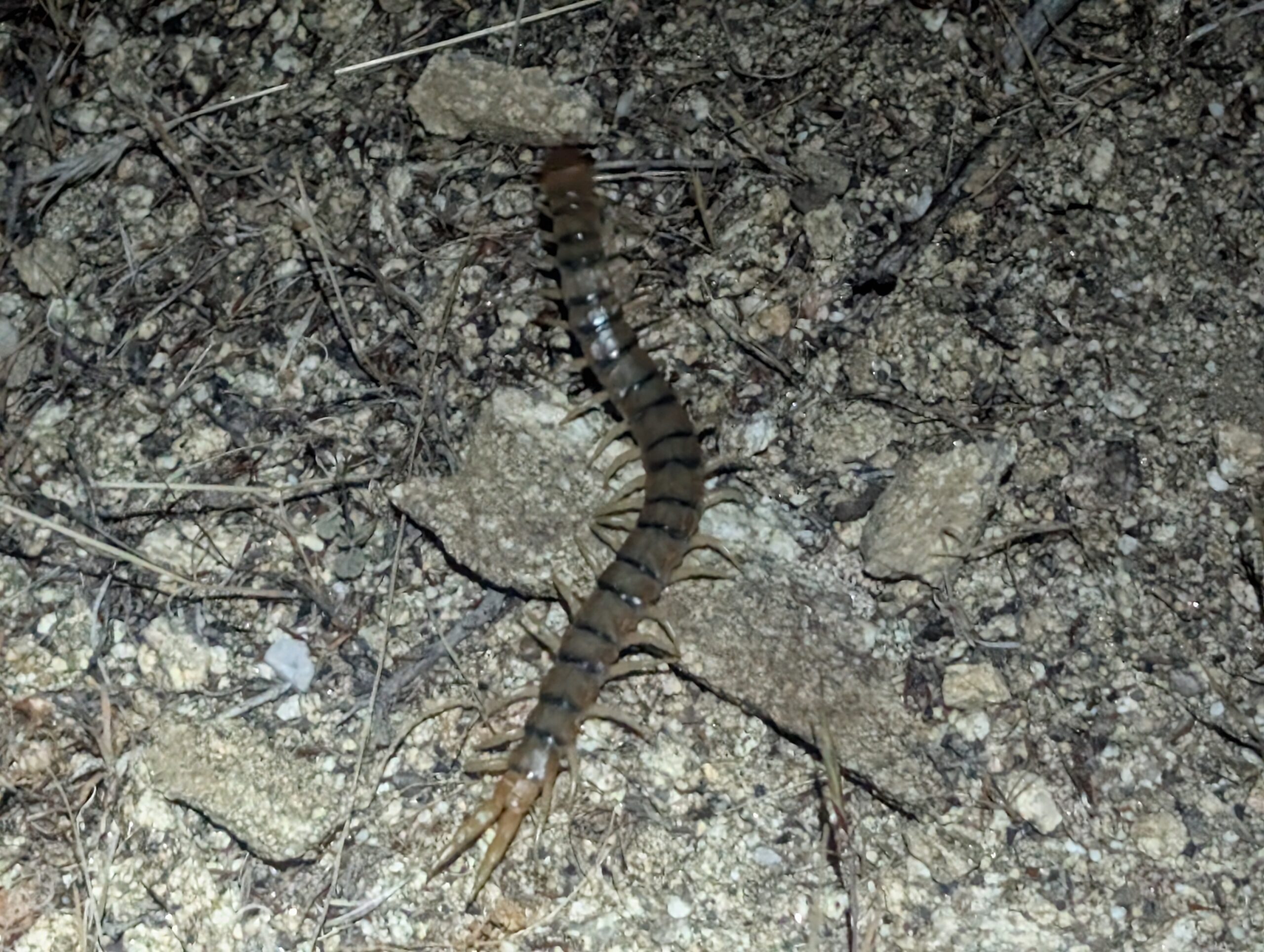
After slamming some hotdogs and Gatorade, we started up once more. Now, the sun was setting, but Spout, Ben, Jannick, and me all shared a growing appreciation for the desert night. The lizards and snakes were nowhere to be found, but we discovered new critters, including Tiger centipedes, a tarantula, and a free-tailed bat, which at one point, flew dangerously close over our heads.
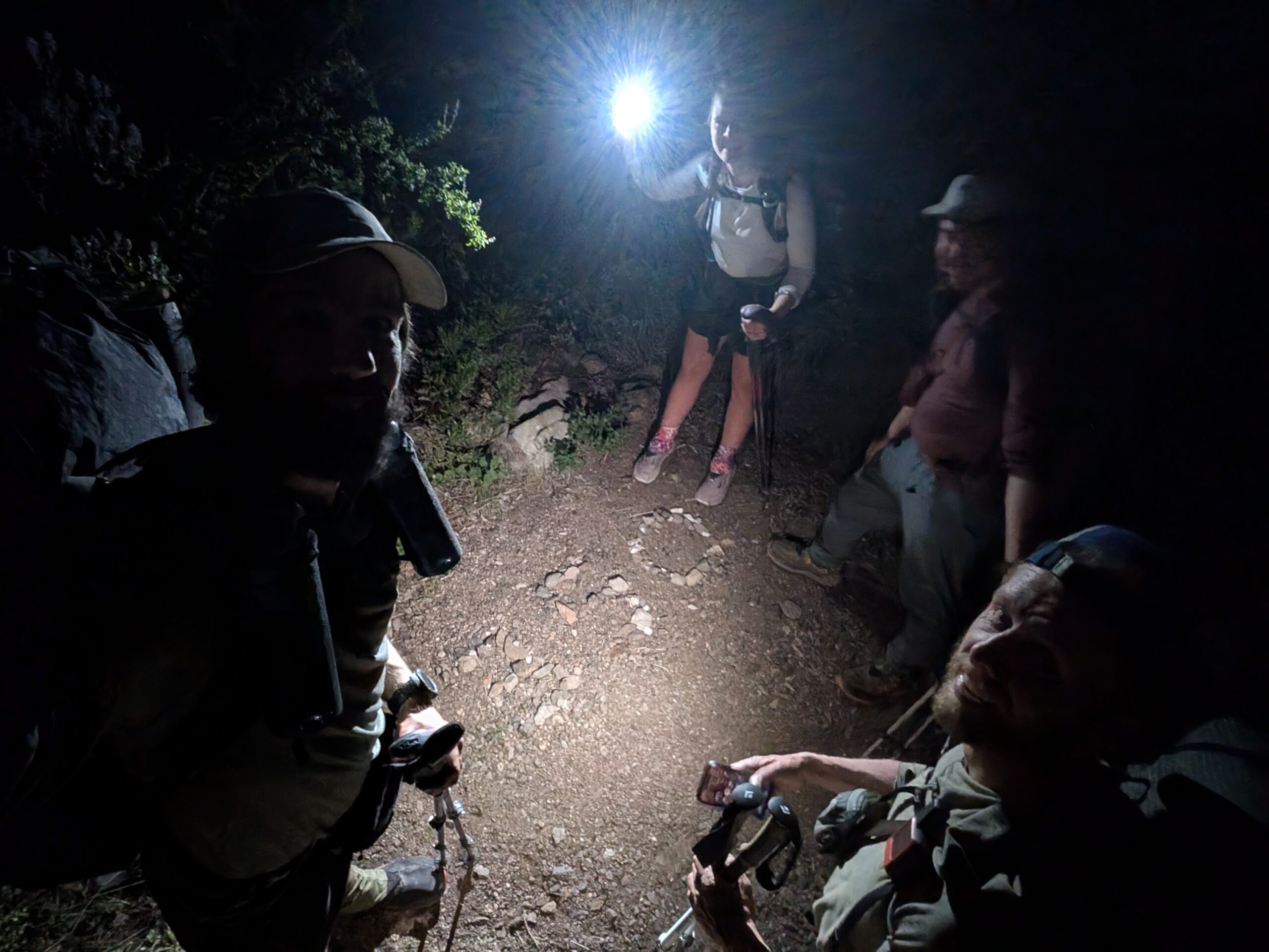
With the moon nearly full, we were able to travel six, hard uphill miles without relying on our headlamps. Close to 11:00pm, I was tired and my excessively high sodium intake was causing me to crash. We found a nice clearing just shy of the Lytle Creek Rd junction to pitch three tents. It was exposed, windy, and still a bit hot, but I was passed out within minutes.
5/11 – Day 22
9.5 miles from Dispersed Campsite to Wrightwood (Wrightwood Getaway)
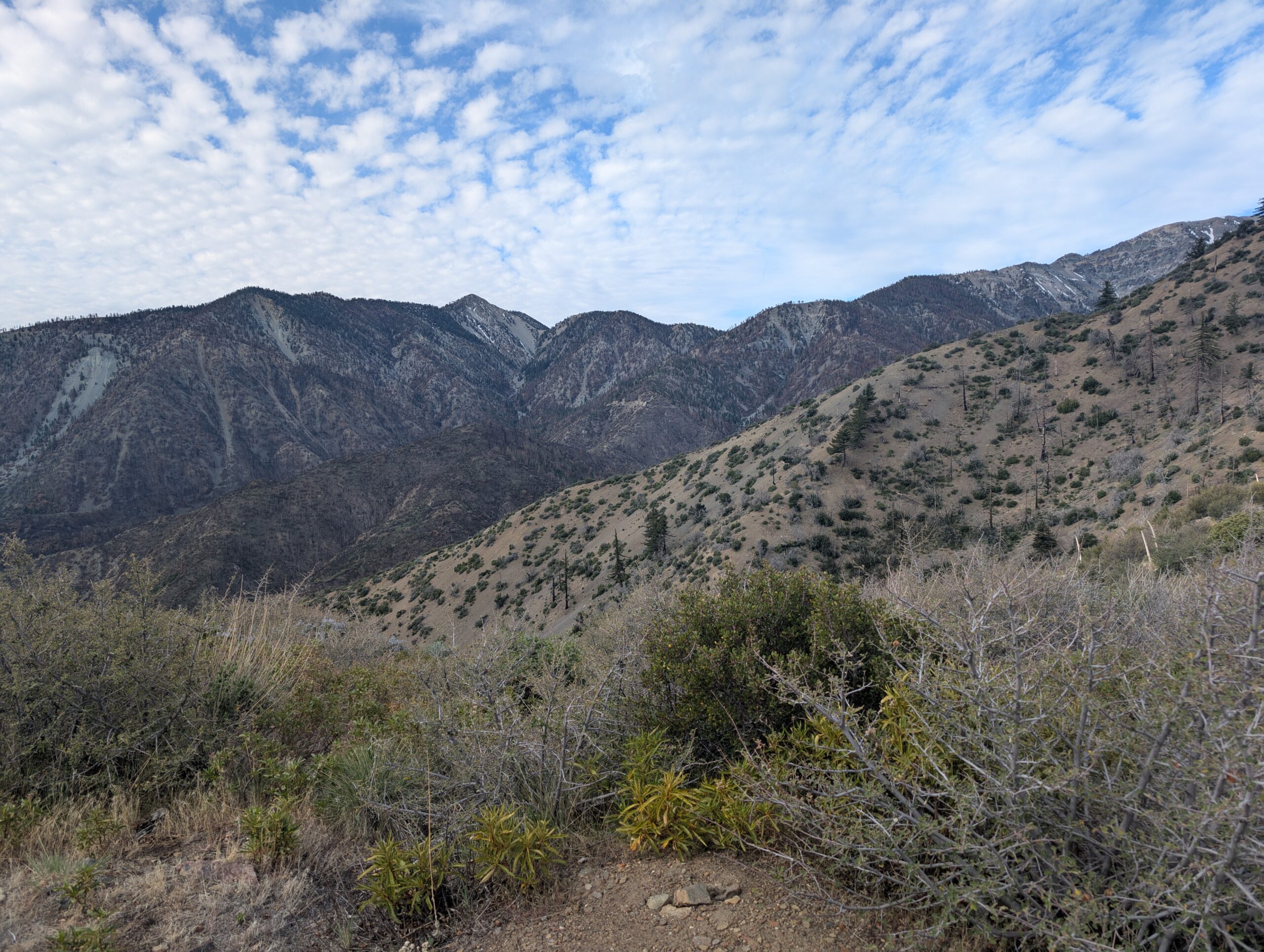
It is more or less impossible to hike the entire PCT from start to finish. In the modern age of wildfires, washouts, and since at least 2011, endangered frog habitats, sections of the trail have been closed off to hikers. Today, we had to navigate the first of these closures, due to the Bridge Fire that burned across the Angeles National Forest in September of 2024, closing the PCT between mile 360.8-374.
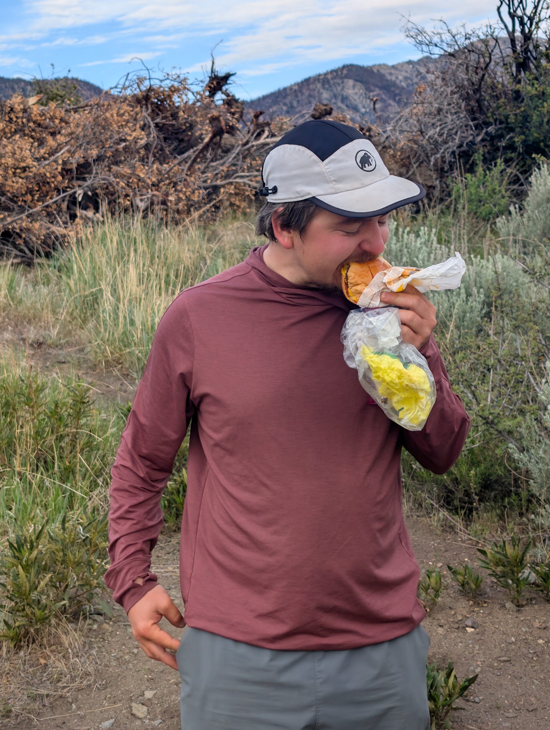
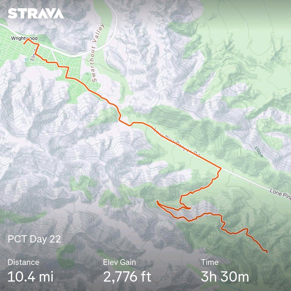
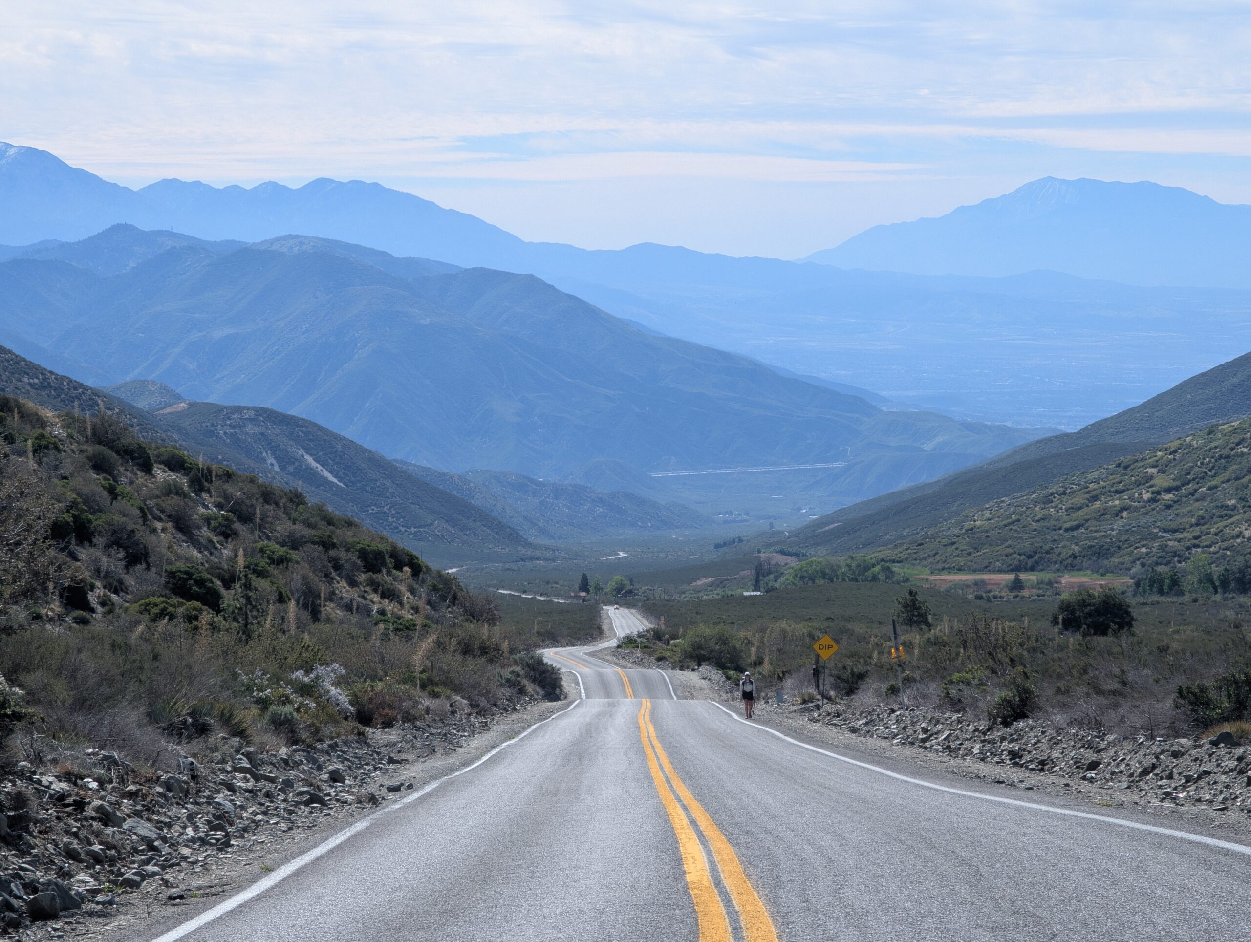
I started the morning with a sausage, egg, & cheese McGriddle, then followed it up with a sausage McGriddle. It was only a few hours since I began this stupid challenge and I was already getting sick of it. In any case, I consumed more than enough calories to reach the Lytle Creek Rd junction that signified the last possible turnoff before the fire closure. We turned off the PCT and hiked nearly three miles down the dirt road before reaching Lone Pine Canyon Rd, which we then walked for nearly five miles into the town of Wrightwood, CA.
This brings me to a contentious topic on what exactly a thru-hike is and is not. For some people, the trail is just an avenue for adventure. They are happy to hop around as needed, skipping the sections featuring lackluster scenery or when they just do not feel like hiking. They are correct in their belief that there are no rules and everything we are doing out here is essentially meaningless. Others feel some kind of obligation to hike as much of the trail as possible. Even so, many of the latter group would have no problem hitching a ride into town rather than walk a boring road. In fact, this is how the PCTA recommends to navigate most closures.
Spout and I want to attempt to hike as much of the trail as possible in a “continuous footpath”, where we may take trail alternatives when preferable, but never break the walking streak that we first began in Mexico. It may seem trivial, but I believe that not skipping plays a motivational role in the later stages of a thru-hike. I genuinely do not care what other hikers do. This is where the phrase, “hike your own hike”, comes in.
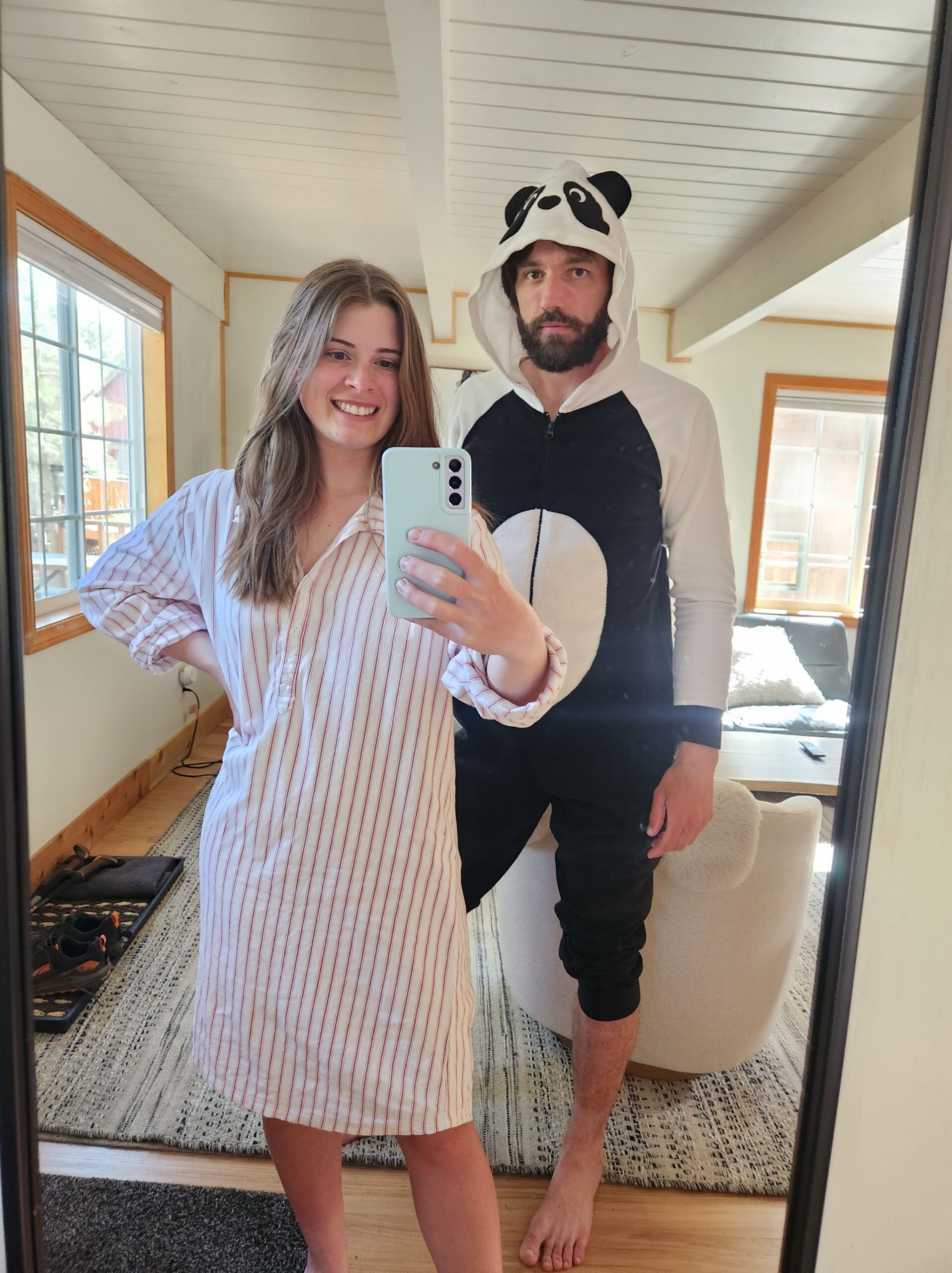
It is hard not to think of the this whole thing as pretty silly when replying, “no thanks”, to multiple drivers offering you a ride into town. Still, we stayed true to our goal, hoofing it across asphalt until we reached town. There was a slight mixup with our stay at the Wrightwood Getaway. When we opened the door to our room, Pixie was already checked in (we were thrilled to see her!), but found out we were double-booked. The owner, Pajama Mama, hooked us up with the Aery Cabin instead, which was closer to town and we had the whole place to ourselves.
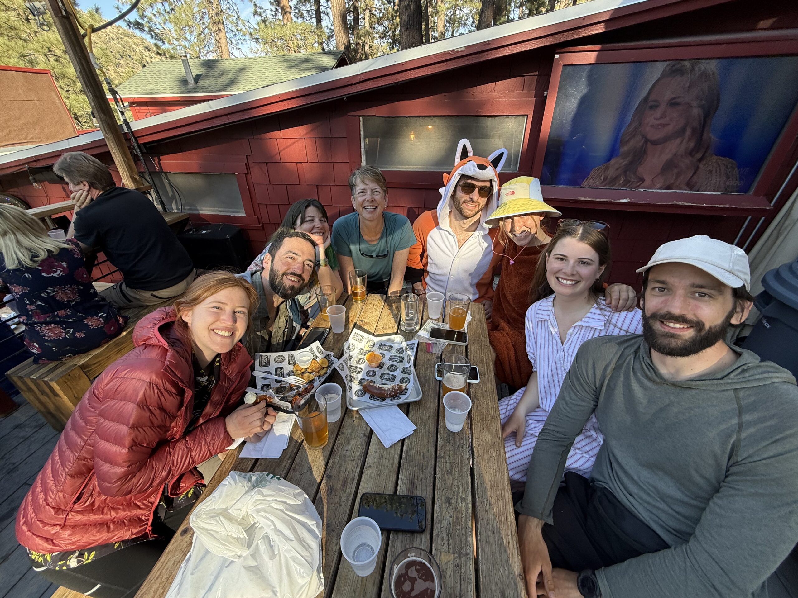
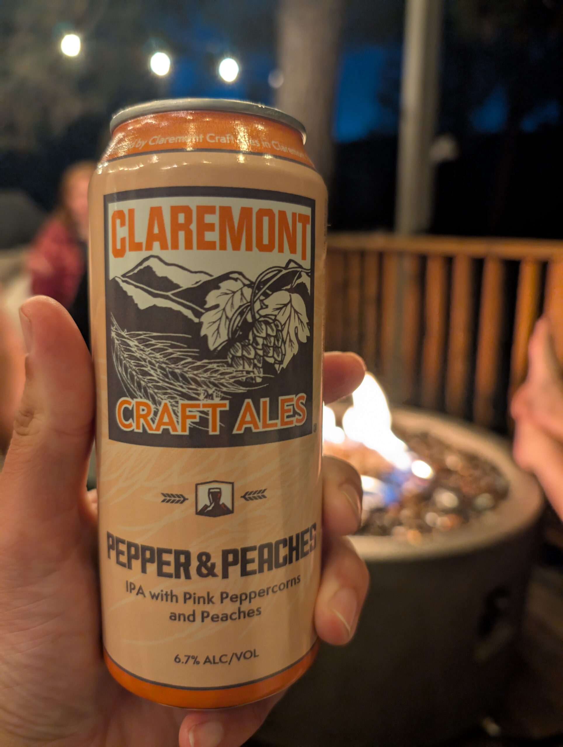
For lunch, we ate nutritious salads that we so desperately needed at the Grizzly Cafe. Then, later that evening, we coordinated for all of our thru-hiker buddies in town to meet up at Wrightwood Brew Co. The back porch was popping and we had such a good time sharing pints of the local beer. Once it was dark, we invited Mallard, Shuffles, and Cache back to our cabin for a fire.
5/12 – Day 23
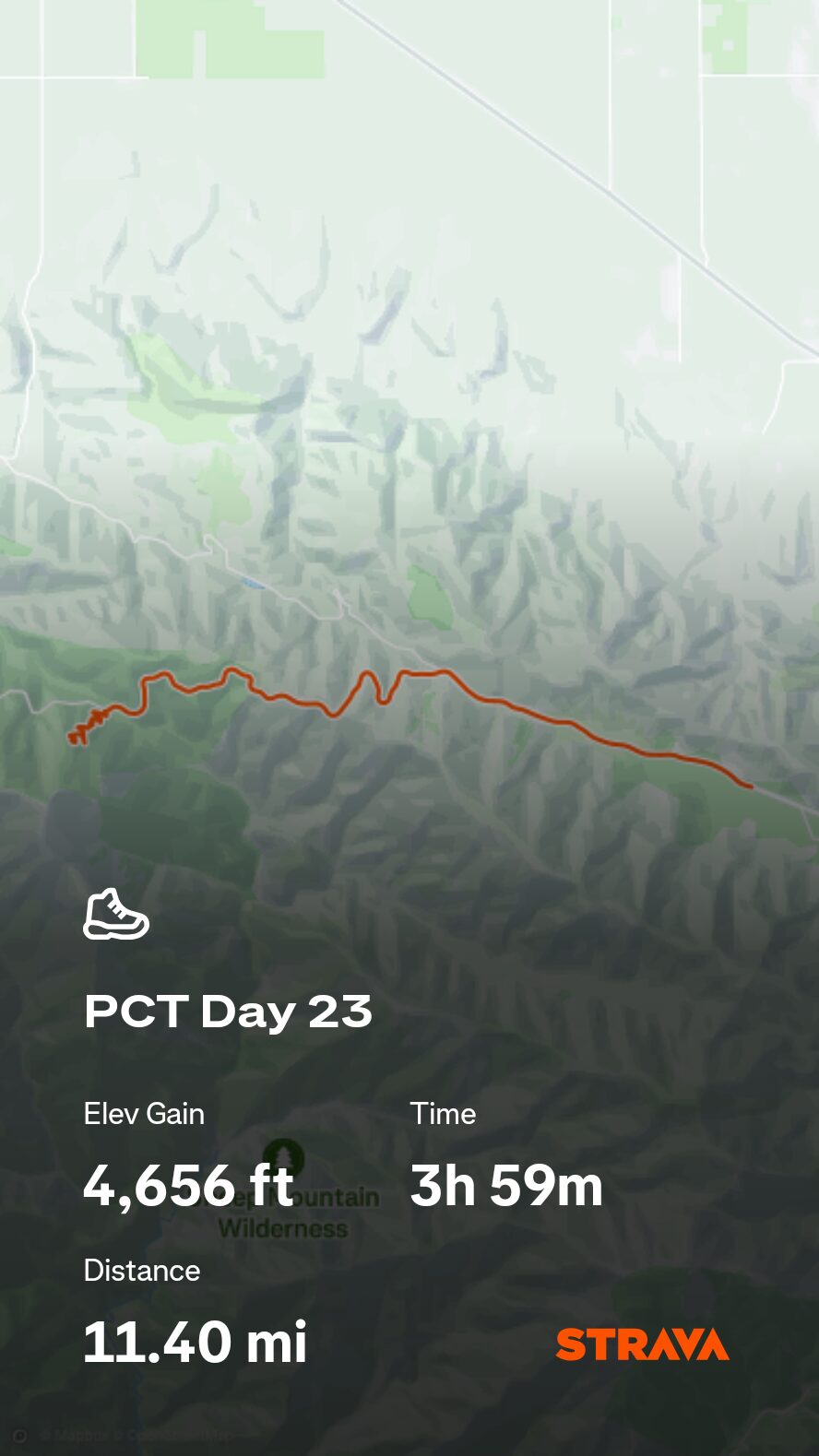
13.5 miles from Wrightwood to Mt. Baden-Powell
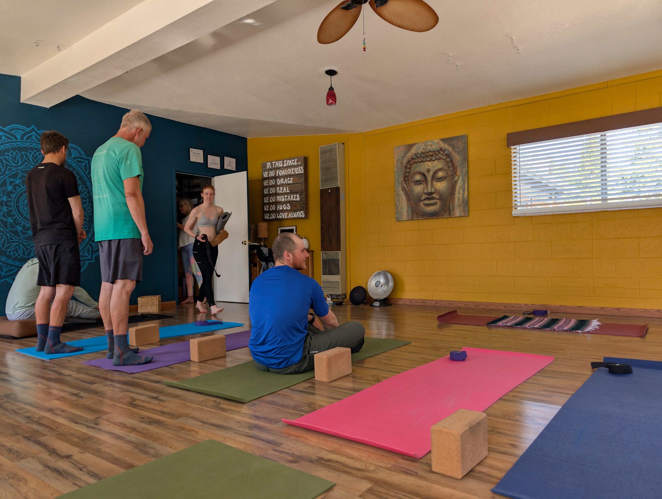
Wrightwood might win the award for the most hiker-friendly town. It was not a tourist destination and had plenty of friendly locals and businesses who loved helping out. We received a free coffee from Village Grind, a free hotdog from the Wrightwood Market, and even a free yoga class from Love Roots Yoga. It was a restorative practice and I found it endlessly amusing to hear every thru-hiker groan in unison when moving into downward-facing dog.
We were in no rush to leave to town, which was fine since we needed to wait for an Amazon order of beans to arrive. We took our time resupplying and hung out with some folks at the coffee shop. The shipment arrived around 2:00pm, then we loaded up our packs for the next string of miles. Thru-hiking is really just a bunch of 4-5 day backpacking trips done over and over and over.
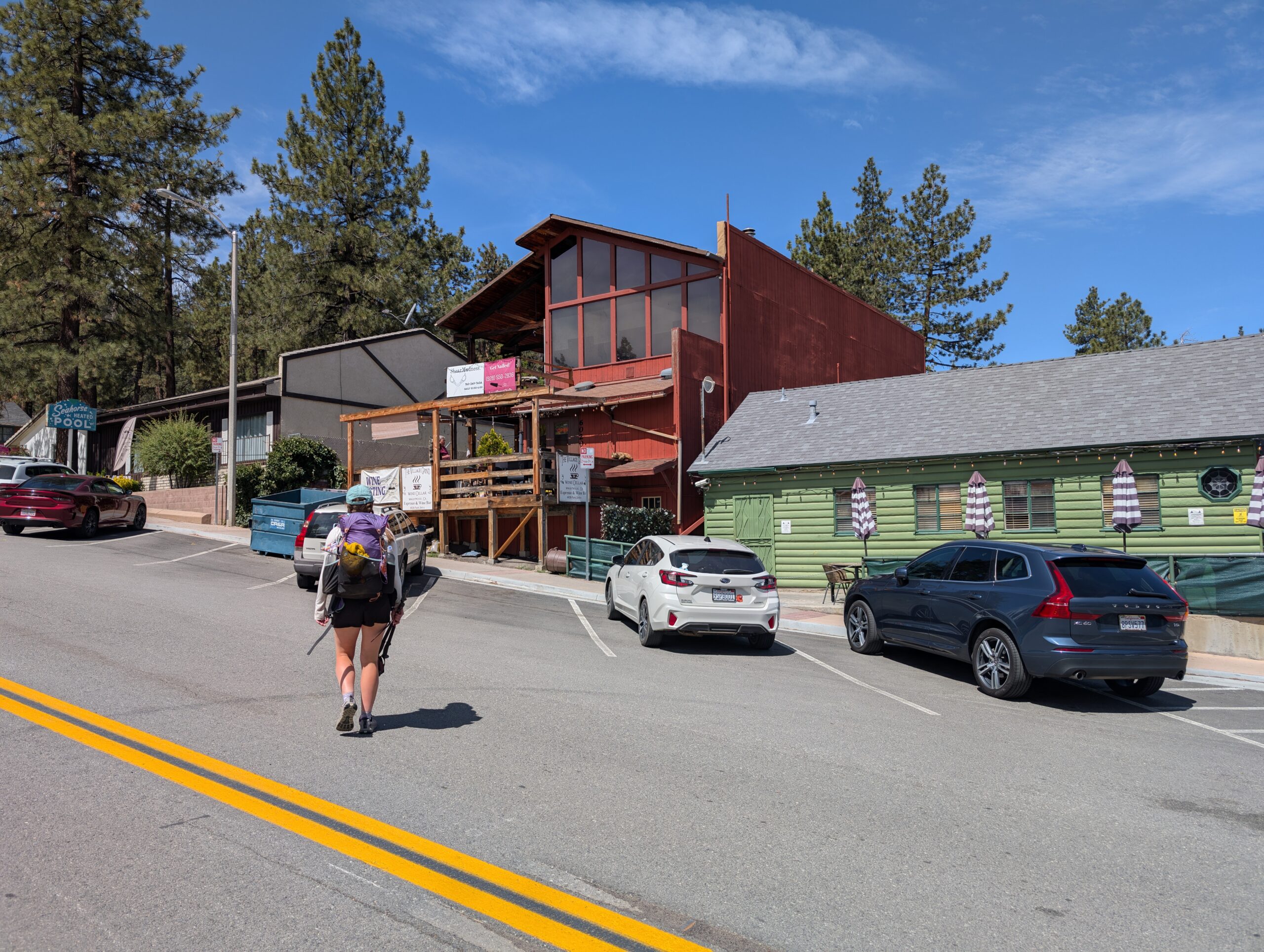
We followed Highway 2 out of town, passing some roadside attractions including an old ranch and the Big Pines Visitor Center. At length, we reached a road closure where the highway turned into the burn area of the Bridge Fire. The road actually ran somewhat parallel to the PCT. However, we learned that the highway itself was outside the jurisdiction of the Forest Service, and even though it was closed to vehicles, we could legally follow it on foot to rejoin the PCT in a few more miles at Vincent Gap.
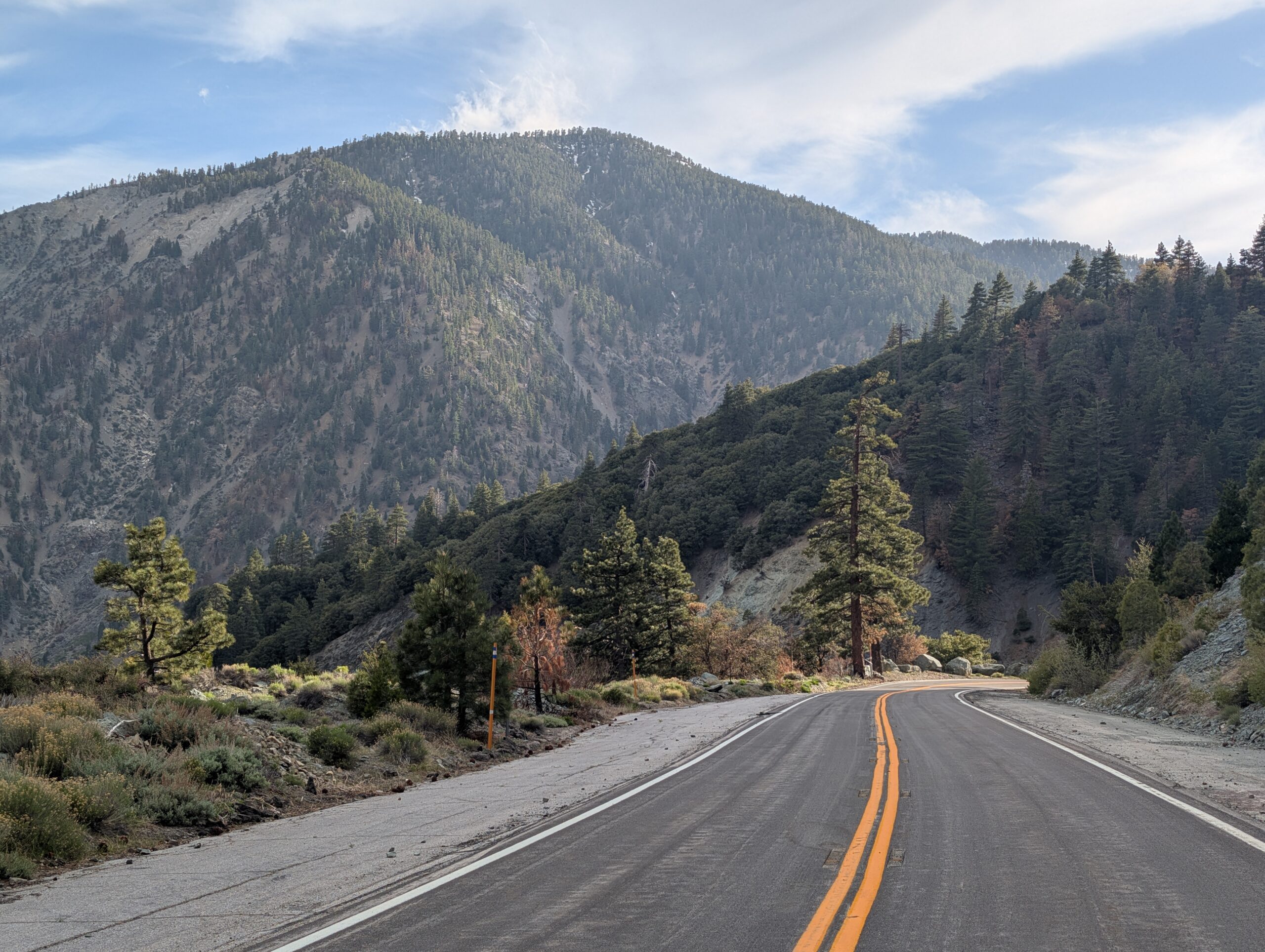
It was surprisingly pleasant road walk from Inspiration Point onwards. We had steady view of Mt. San Antonio, whose snowy cap stood out among the scars of burned trees everywhere around us. We passed the blackened remains of the Grassy Hollow Visitor Center, which had completely burned down during the fire. In total, we walked about 9 miles along the road from Wrightwood to Vincent’s Gap, where the PCT was reopened.
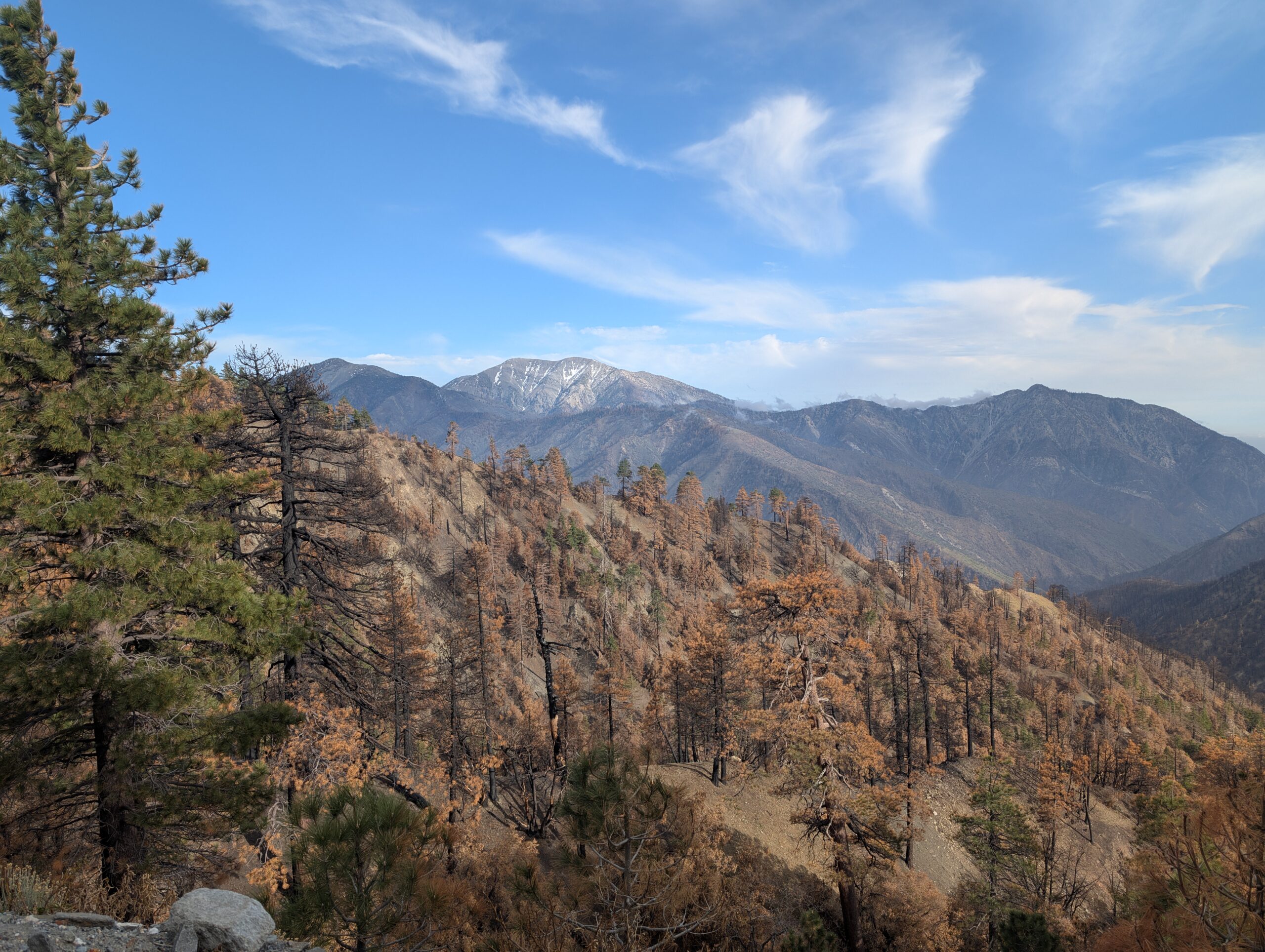
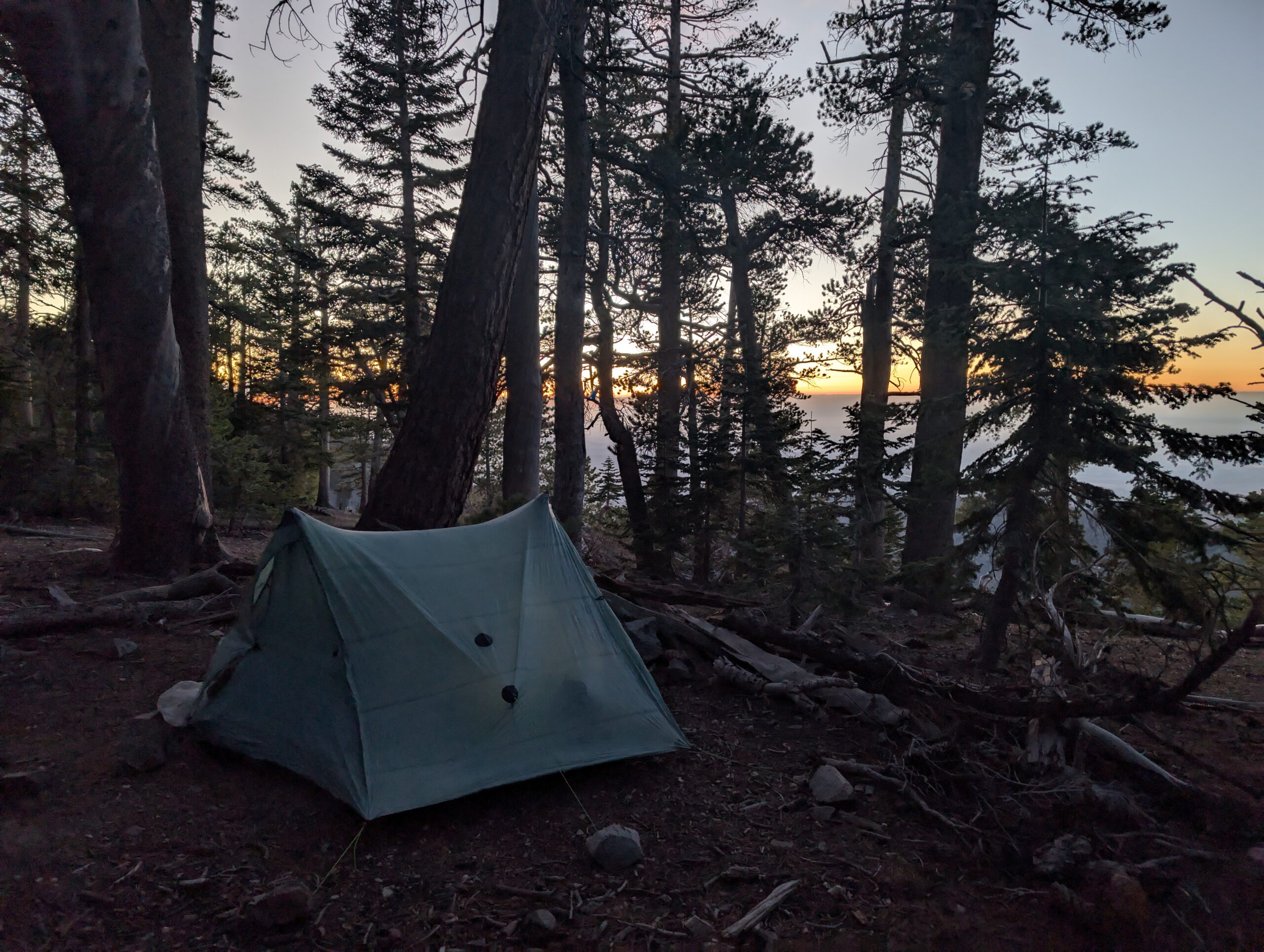
The trail greeted us with a staggering climb up Mt. Baden-Powell. It was extremely windy, and the ponderosa pines swayed like thin blades of grass. About two miles shy of the summit, we sought shelter for the night. Despite the biting wind that forced us into our tent for dinner, it felt good to be back home on the PCT.
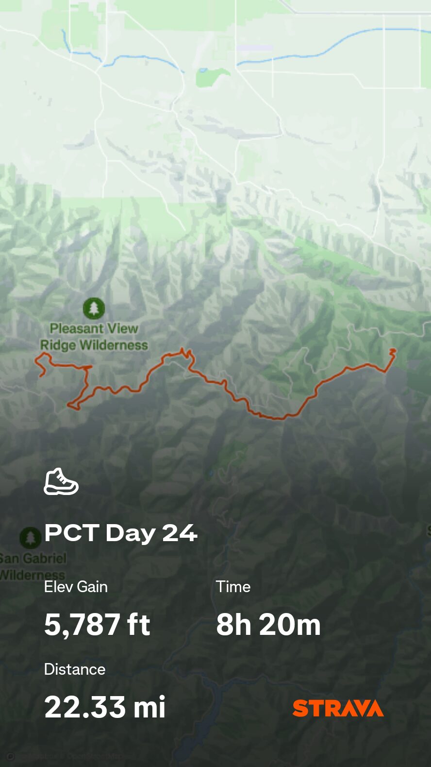
5/13 – Day 24
20.4 miles from Mt. Baden-Powell to Cooper Canyon
At some point in the middle of the night (I think it was right after a ferocious gust of wind ripped out a tent stake with a 15lb rock securing it in place, causing our tent to collapse), I was wondering what I did wrong to upset Baden-Powell. The mountain is named after the founder of the Boy Scouts, so I figured I would be in good favor. Maybe this was punishment for the time I signed up for geology in summer camp, did not go to any of the classes, and still accepted the merit badge.
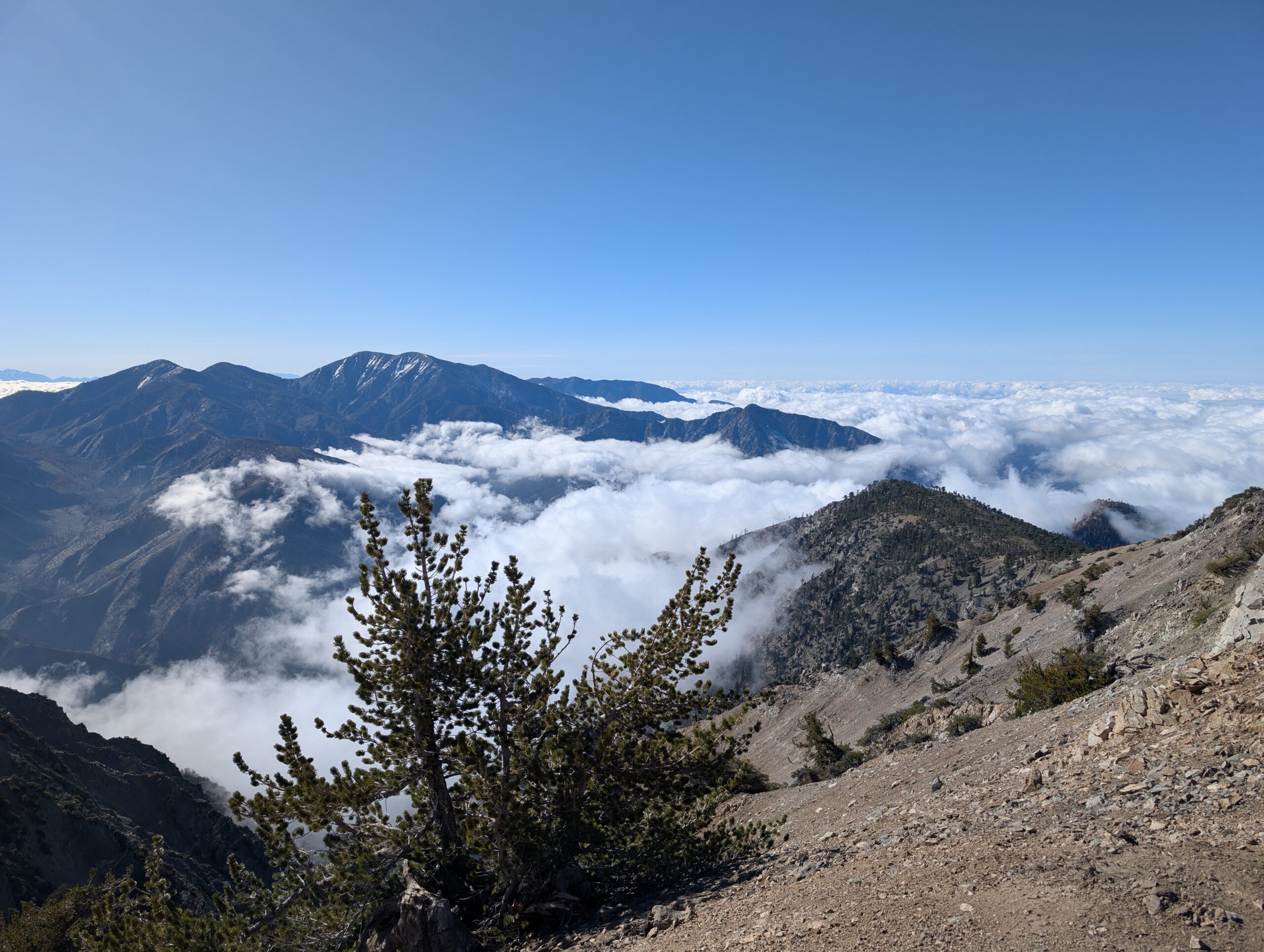
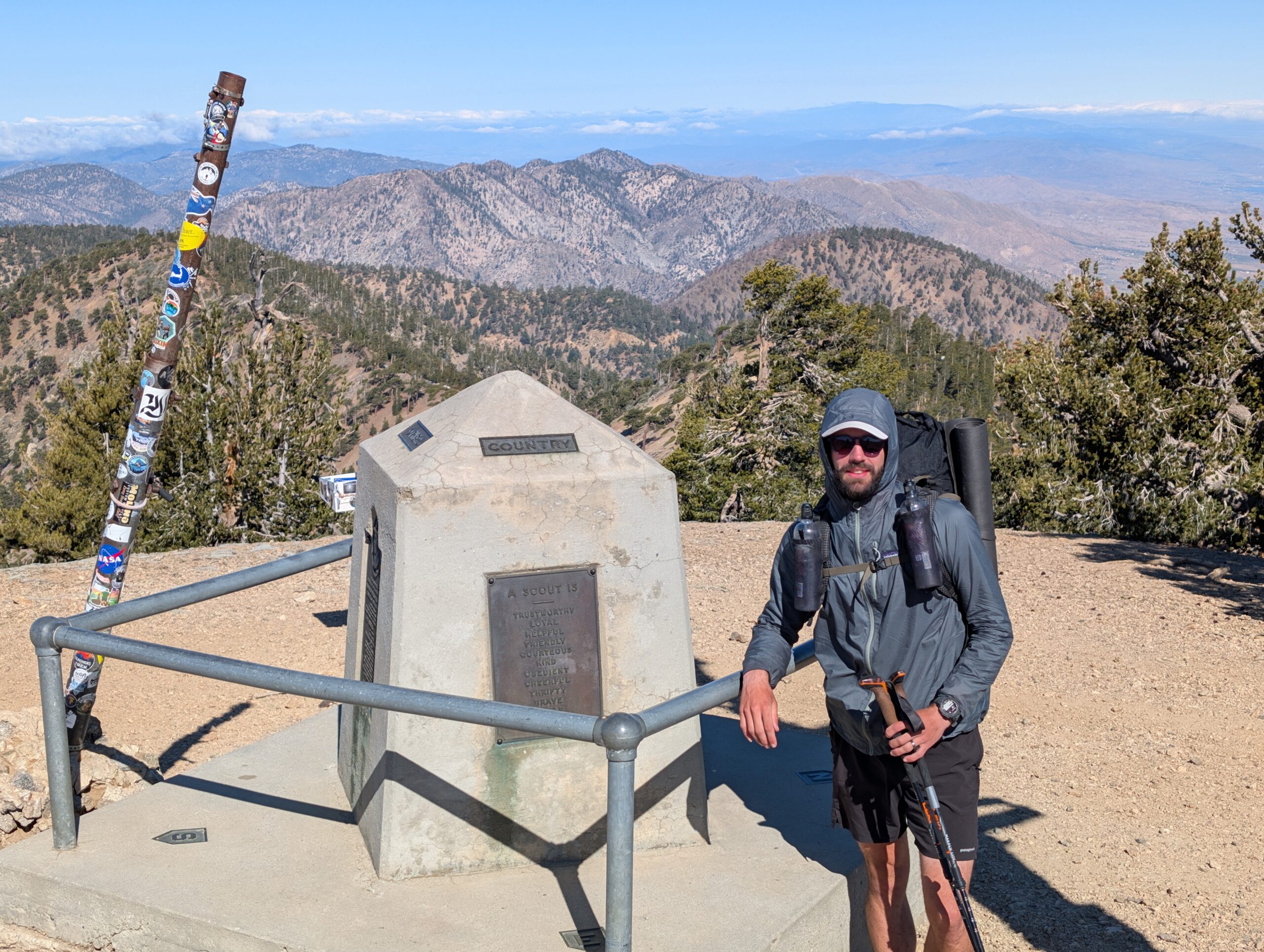
Despite one of the most uncomfortable nights yet, I felt somewhat refreshed in the morning. The remainder of the climb up Mt. Baden-Powell was fairly steep, steady, and even a bit slick over stubborn patches of snow. The peak offered a magnificent view of nearby mountains poking out amongst the clouds. In addition, there was a plaque dedicated to Baden-Powell, with panels on the history of the BSA. Now with a few thousand total hiking miles under my belt, I think it’s fair to say that scouting changed my life.
Beyond the peak was a picturesque ridge that stretched from Hawkins Peak to Windy Gap. We hiked above a perfectly dense, white blanket of clouds that looked so close to the trail that, if not careful, we might accidentally wander off course and float away in a dream.
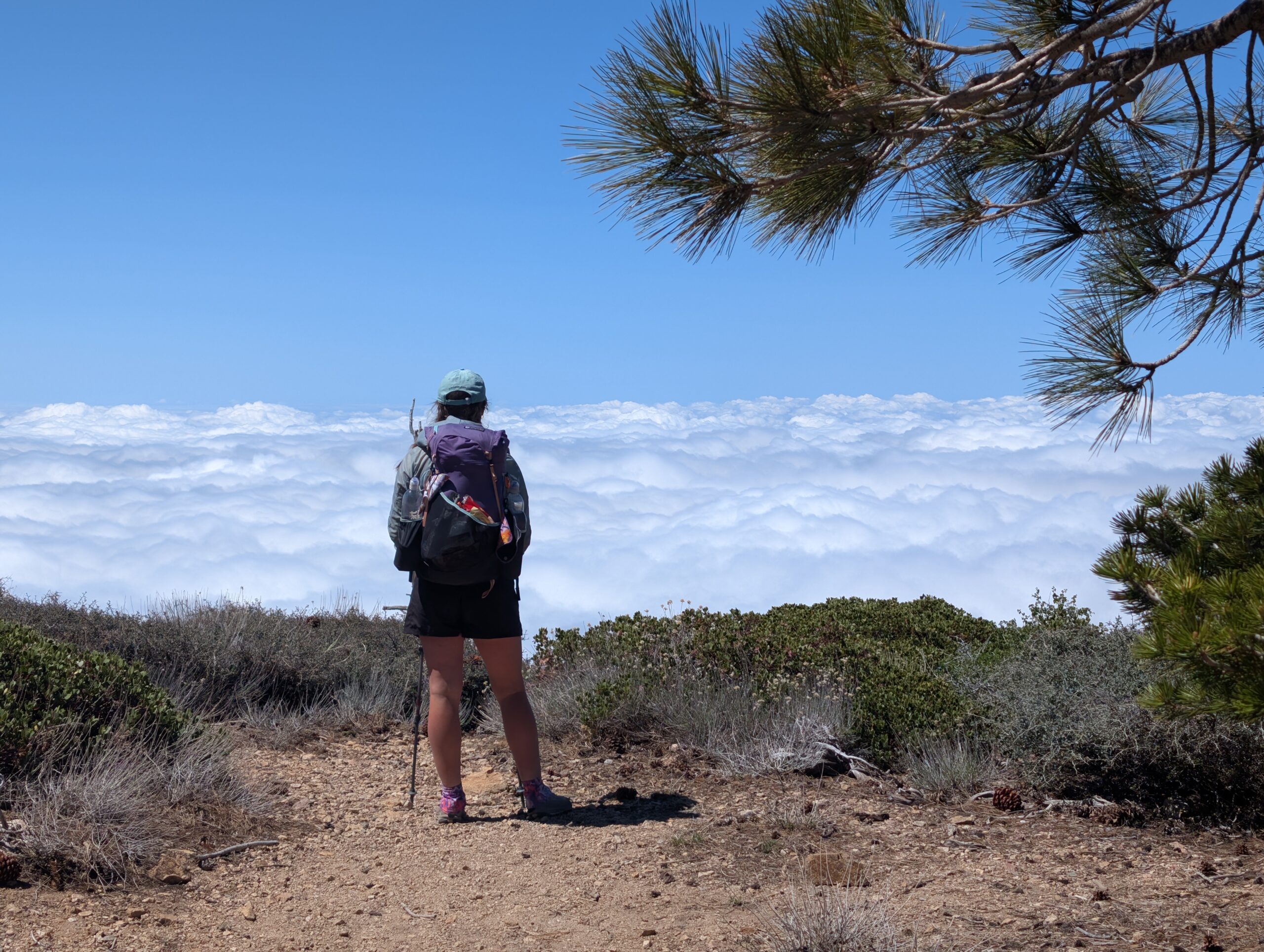
Soon the clouds invaded the trail itself and we found ourselves in or out of the fog for several miles. Combined with the charred trees from the last forest fire, it felt rather eerie. We took a short lunch at Islip Saddle to fuel up for one last climb towards Mt. Williamson.
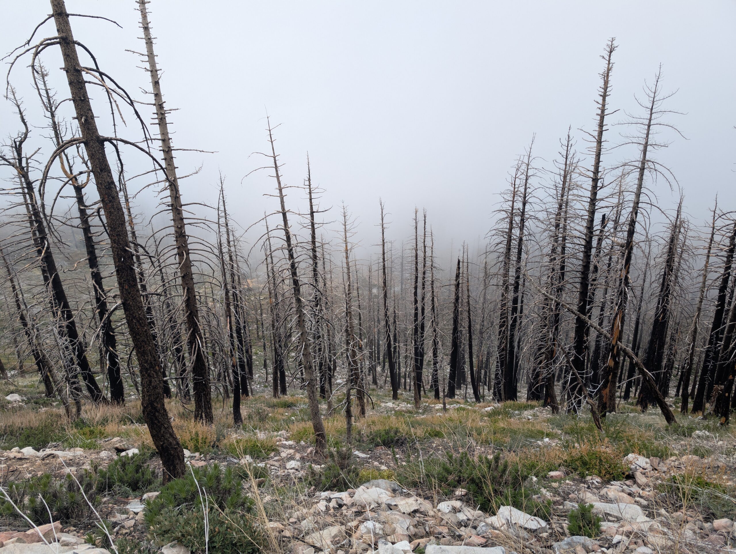
There were 3.5 miles of trail closed up ahead for the protection of the endangered, yellow-footed frog. The PCT intersected Highway 2 again, except this time we stuck to the road. After a couple of miles, we turned off on the Buckhart Trail, which rendezvoused with the PCT at Cooper Canyon Falls. It was an easy detour, but meant hiking an extra mile that essentially did not count towards our progress, call it a “daylight savings” mile.
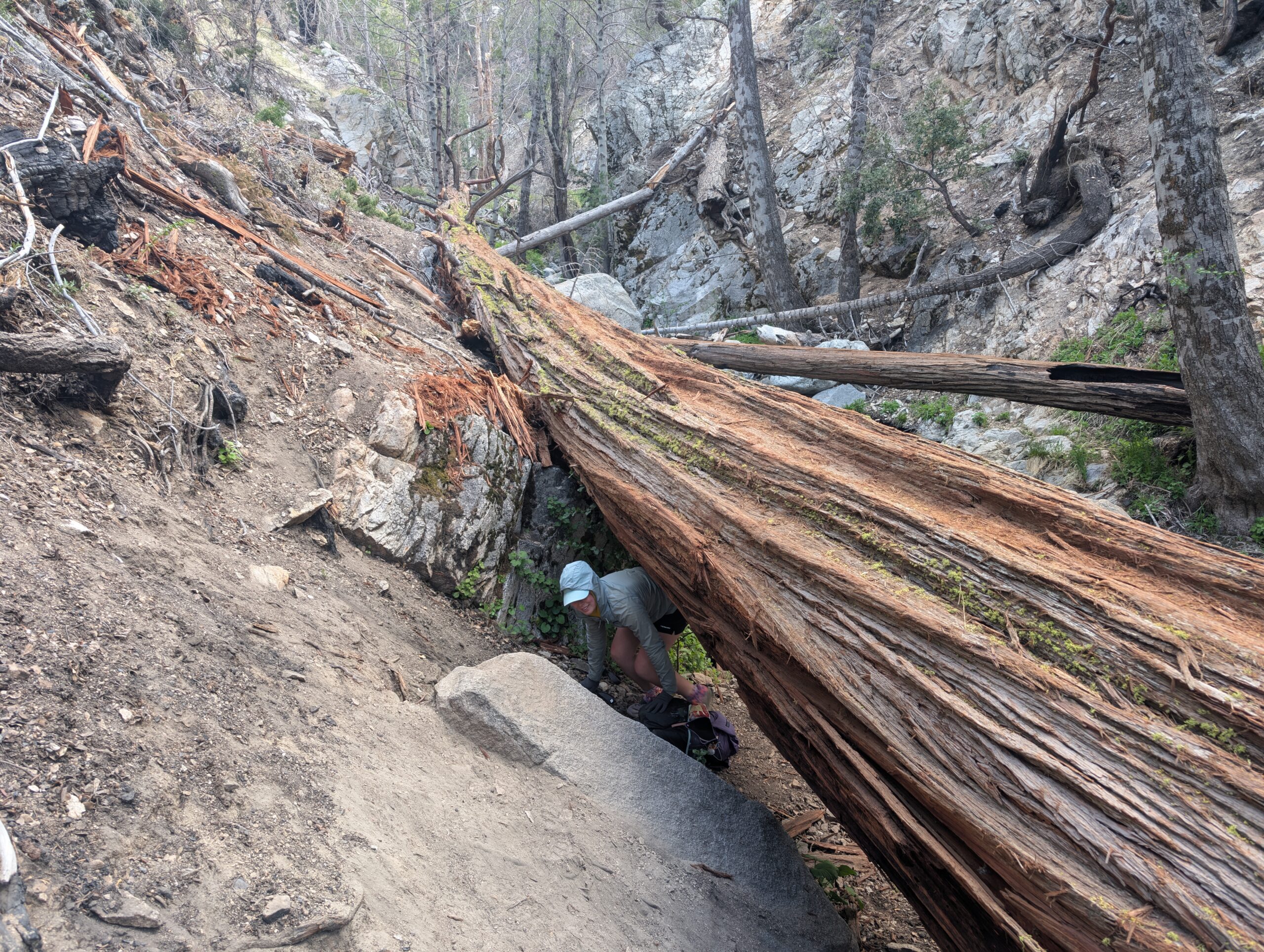
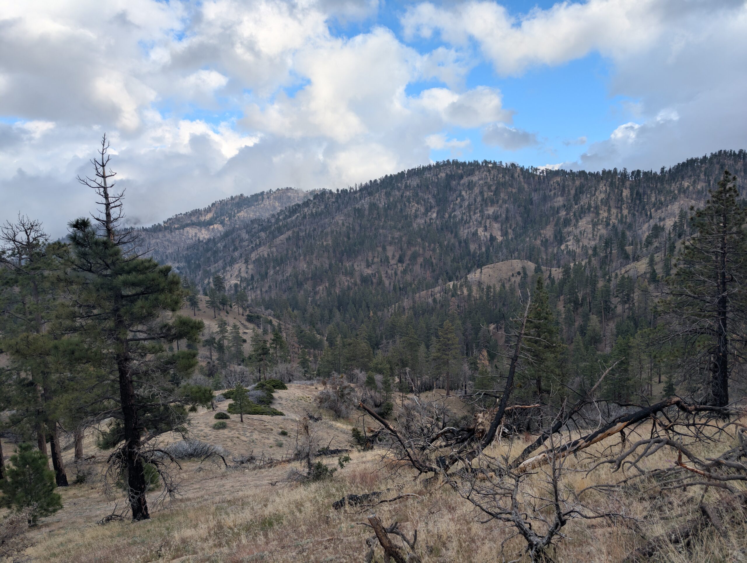
After a short break around 5:00pm, we continued hiking past Cooper Canyon trail camp. I experienced the elusive runner’s high as we climbed up the next ridge, a euphoric body sensation that has only happened to me once or twice in my entire life. We reached a stream with some flat space for our tent and settled down for the night. With the frog closure now behind us, we were hopeful we would not have to hike off of the PCT again until we made it all the way to Canada. Wishful thinking.
What’s Next?
We are still in the Angeles National Forest, now approaching some of the easiest sections of the desert. The next towns are Acton, CA and Agua Dulce, CA.
How’s It Going?
You may have noticed that we have not taken a “zero day” off of hiking yet. Despite Spout and me both collecting an injury after our sprint down San Gorgonio, we wanted to keep moving. We are experimenting with taking more short, “nero days”, as opposed to full days off. Personally, I feel that zeroes can be overvalued, since minor injuries seem to heal better with a bit of movement anyway. The ol’ “just walk it off” philosophy. I feel like we are starting to build up some trail legs, but are not quite there yet.
Food & Resupply
I do not recommend eating more than a single meal at McDonald’s per year. The challenge was not nearly as satisfying to complete as expected and we both felt horrible after consuming so many McGriddles. I am not sure how I could have predicted this.
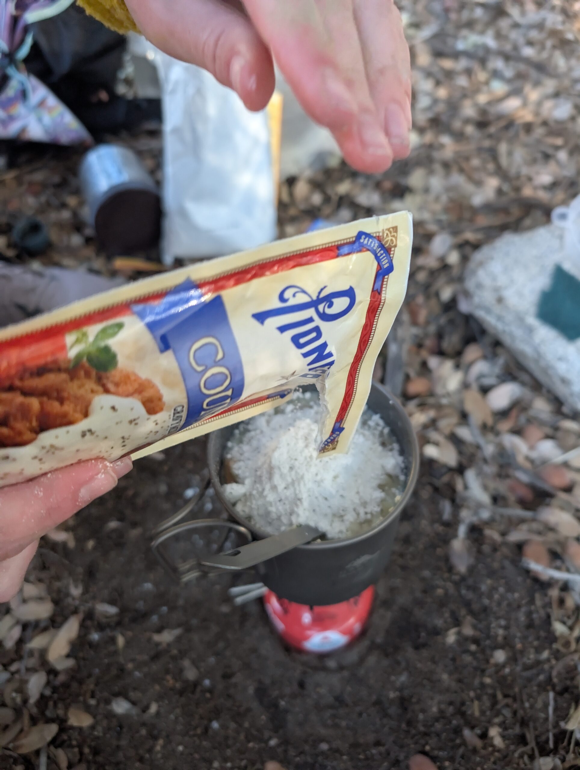
It’s fun to lean into the hiker trash diet, but all in all, we are actually eating pretty good so far. Cooking hot dinners has enabled us to experiment with slightly more nutritious food. Our newest discovery is Hiker Thanksgiving: Idahoan potatoes, Stove Top stuffing, gravy mix, and a chicken packet.
Notes
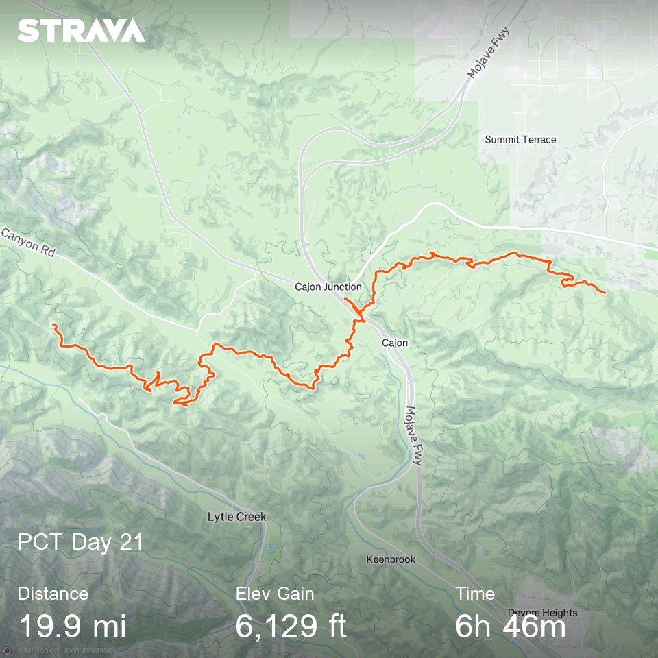
- Strava seems to have updated the image generated when sharing a route halfway through me putting together this post. Kind of annoying, but I will keep using it
- To clarify regarding a continuous footpath: We take plenty of rides into and out of town. However, we always return to the last point we hiked to and continue from there. Thus, the sections we hike can all be linked to form a continuous footpath
- If we encounter longer closures requiring us to walk 30+ miles on the road, we might reconsider. Road walking is not much fun, hurts your feet, and is more dangerous than anything we encounter on trail

You do an awesome job with journaling, Yeti!! I so enjoy reading your adventures with Spout. What a great experience! Hugs!! Love you both!❤️❤️
Thanks Gram Carol! Appreciate all of the comments!