7/9 – Day 81
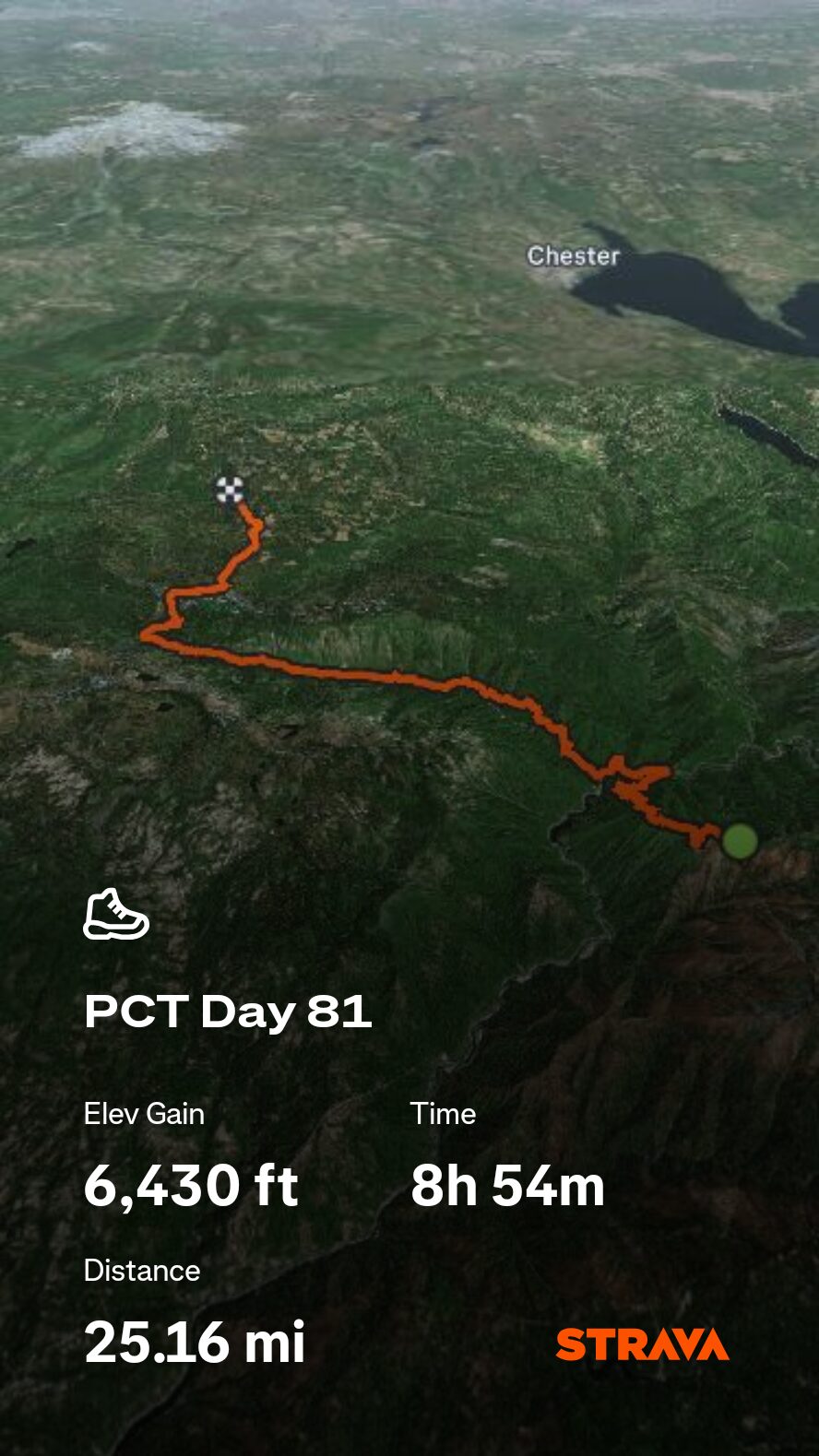
25.0 miles from Bracken Fern Spring to Cold Spring
July 25s: 6
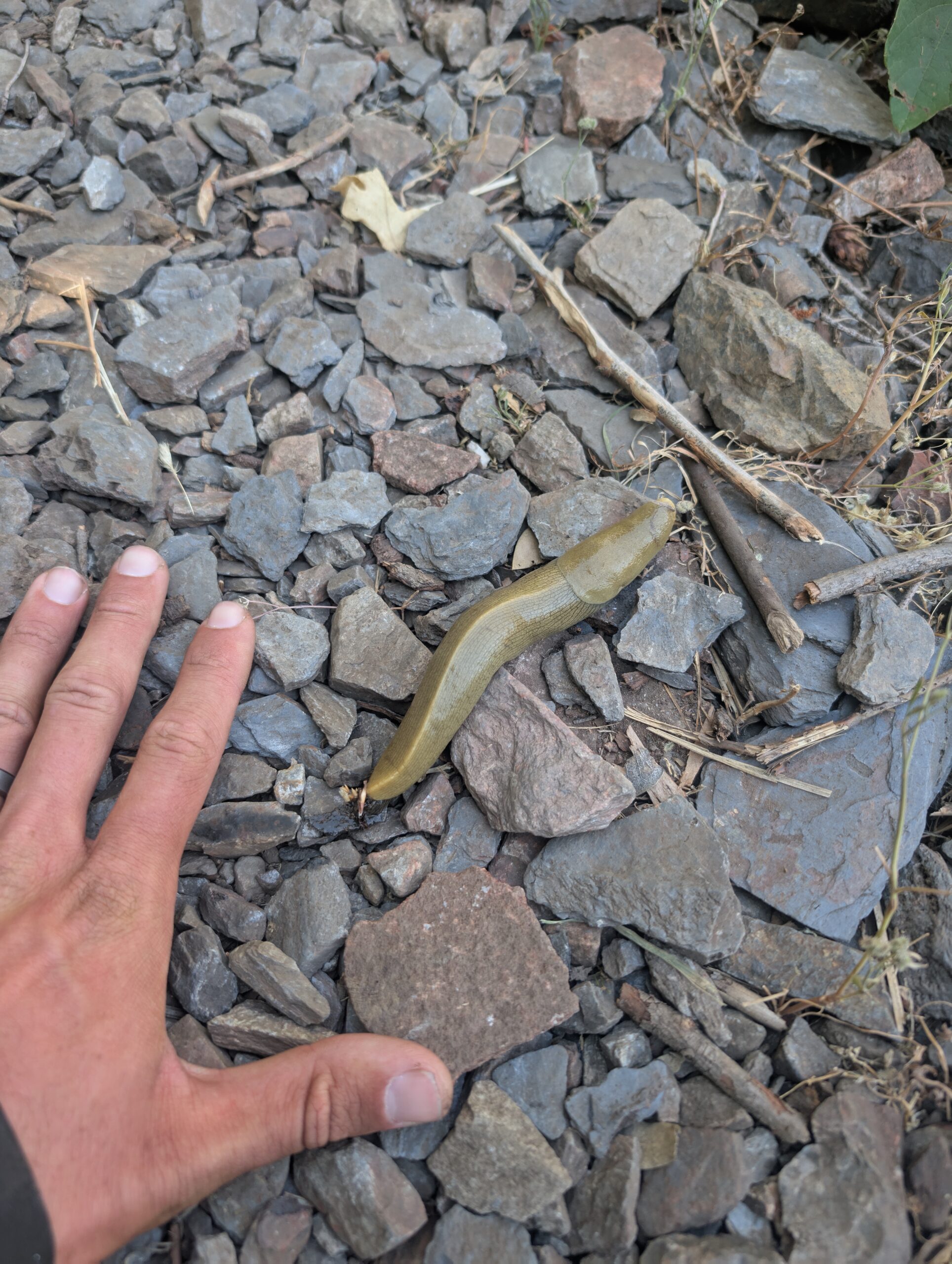
In the morning, we thanked the campsite for hosting us overnight. Then we began a fairly steep descent over 6 miles heading towards Belden, CA. The north fork of the Feather River, which runs along a railroad through town, was visible for part of the walk. However, all eyes were on the trail after we encountered a massive, six inch long Pacific Banana Slug. We heard the stories, but seeing the second largest slug in the world in person was an amazing, slimy experience.
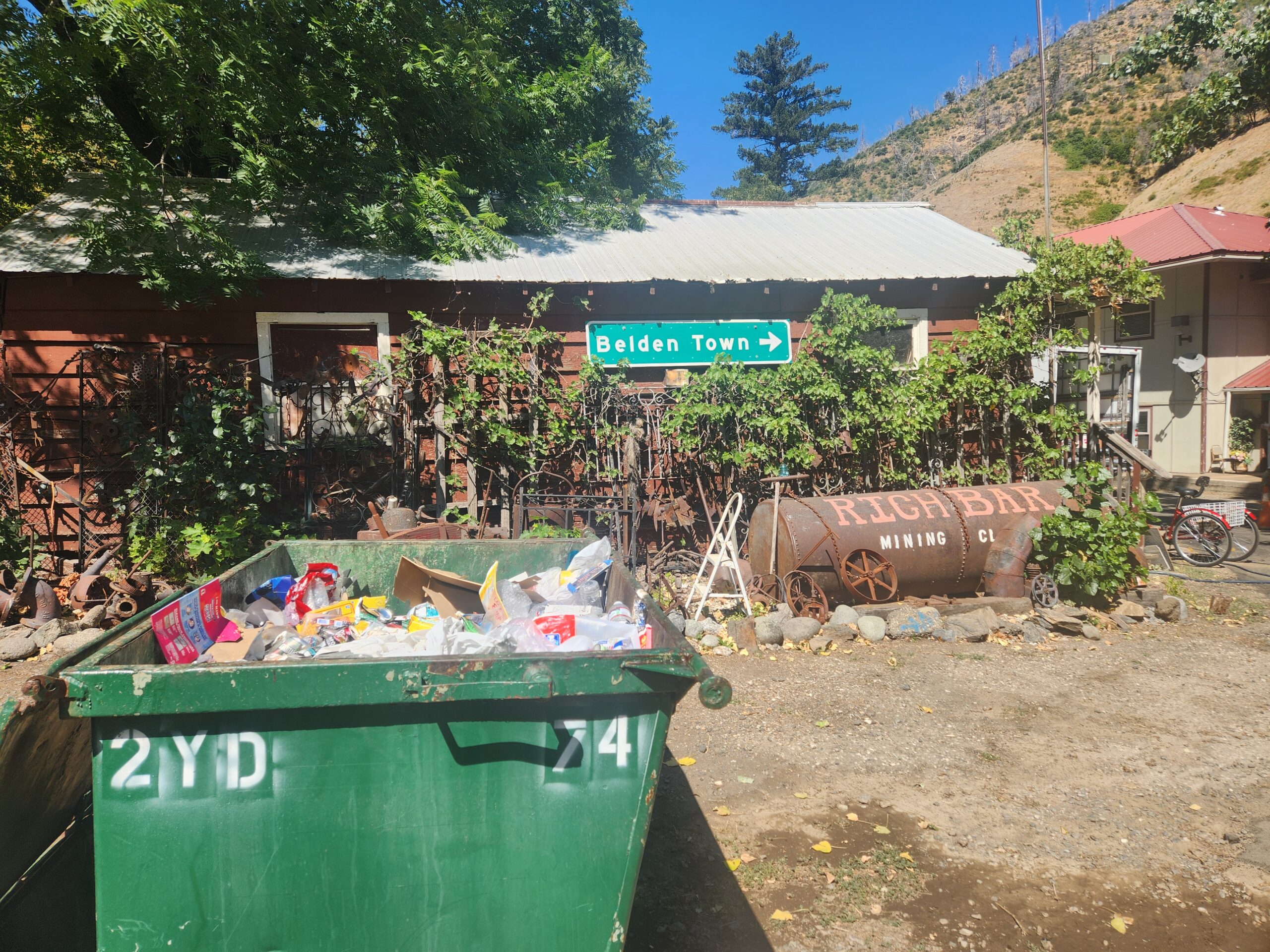
Belden was a town whose personality far exceeded its size. Essentially just a campground, a few cabins, and a “resort”, it was equal parts trashy and artsy. A crew was setting up for a festival when we arrived. Had we attended said festival, I probably would have more to say about the quirky town. The store was not open yet and we had no intention of waiting around until it was, so it was a quick in-and-out for us.
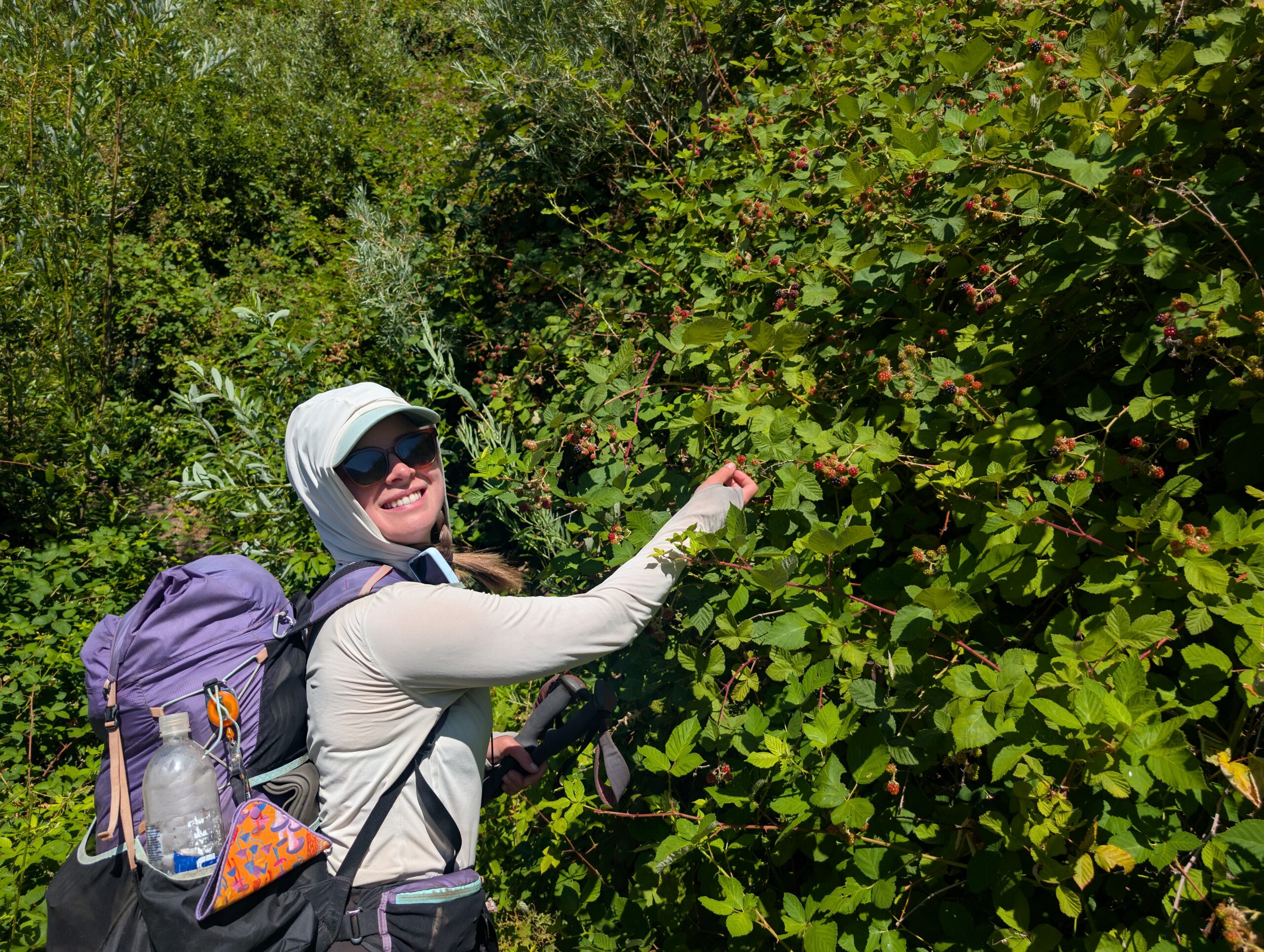
If the concept of the 1:00pm slump were stretched out to fit the context of the entire PCT, it would be the climb out of Belden. Nearly at the halfway point of the trail, the hill was 13 miles long with 5,000′ elevation gain. It embodied the midday slog. Most hikers will hit this section in July, when the heat of the summer has arrived. The remnants of trees along the mountain do little to shield the sun. It was not even particularly scenic. My motivation for making the trek was a stream near the bottom signed, “Bring-it-on Creek”. Spout’s motivation was finding her first ripe blackberries of the PCT along the way.
I prefer to power through most climbs, stopping for a break only at the top. For a climb this drawn out though, we took several breathers to chug water and eat energy bars. I went for a swim in nice pool within Chips Creek. Then, we locked in to tackle the final few miles.
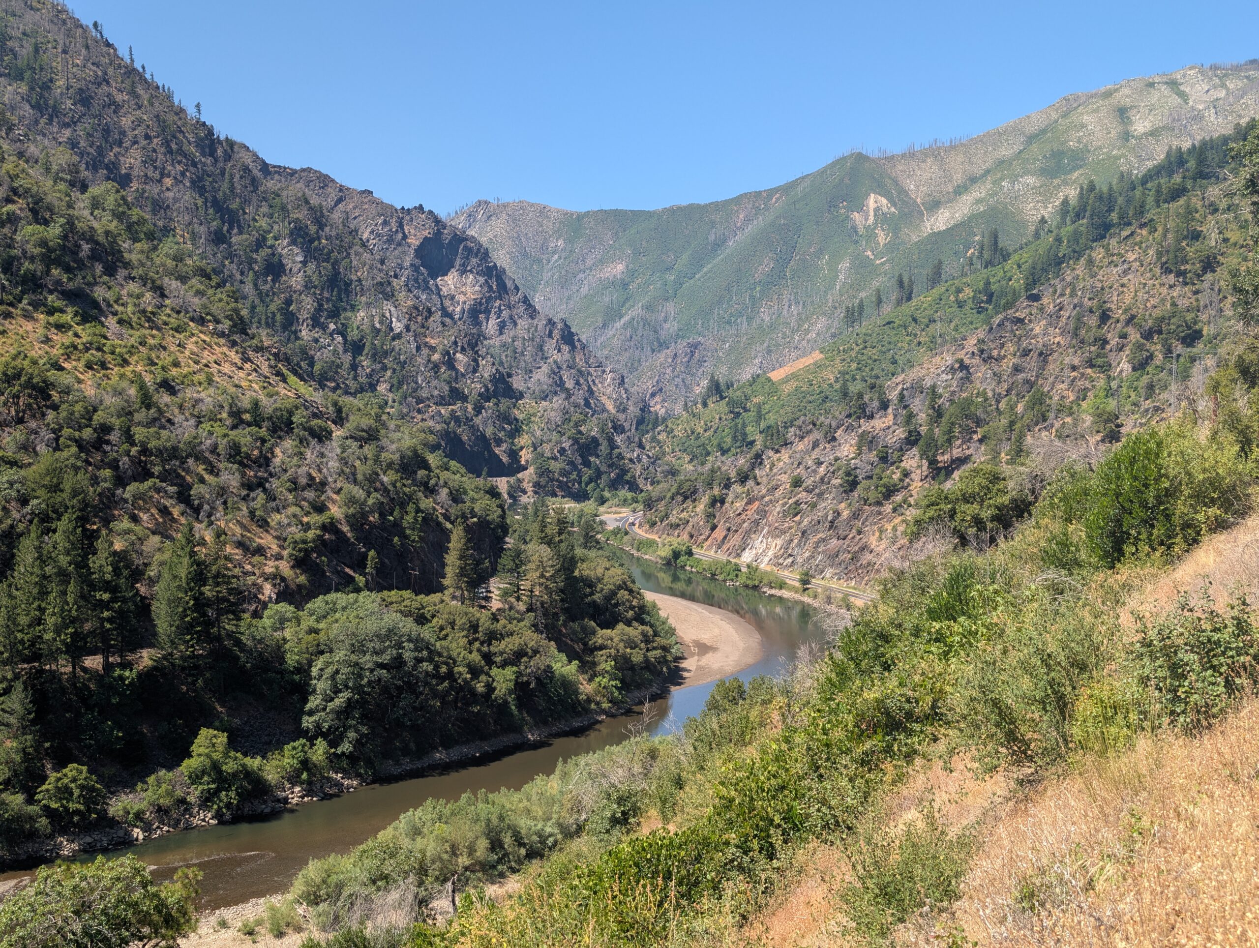
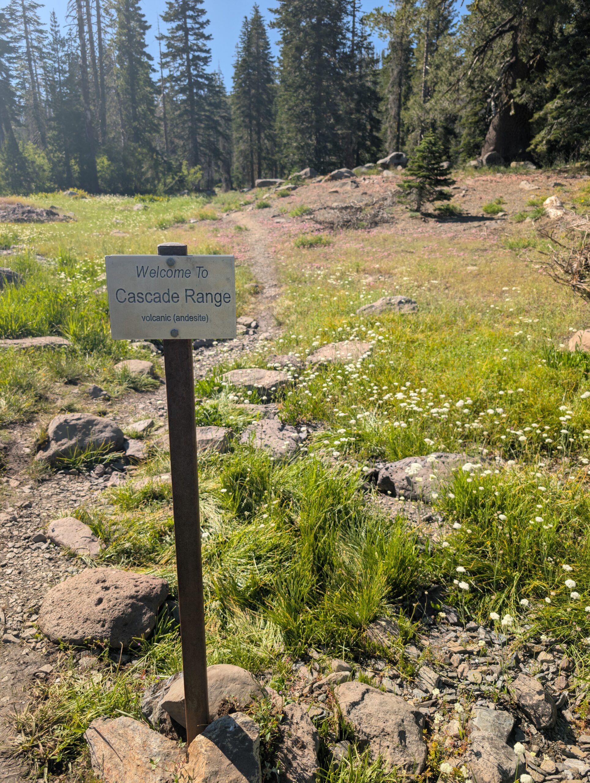
We spied a mother doe and two adorable fawns who galloped away upon seeing us. A short while later, we crossed a significant geological waypoint where the Cascade Range divides from the Sierra Nevada Range. From this point northbound, we would be hiking along the volcanic bedrock of the Cascades. As a little cherry on top for successfully hiking an entire mountain range, we reached mile marker 1,300 shortly afterwards.
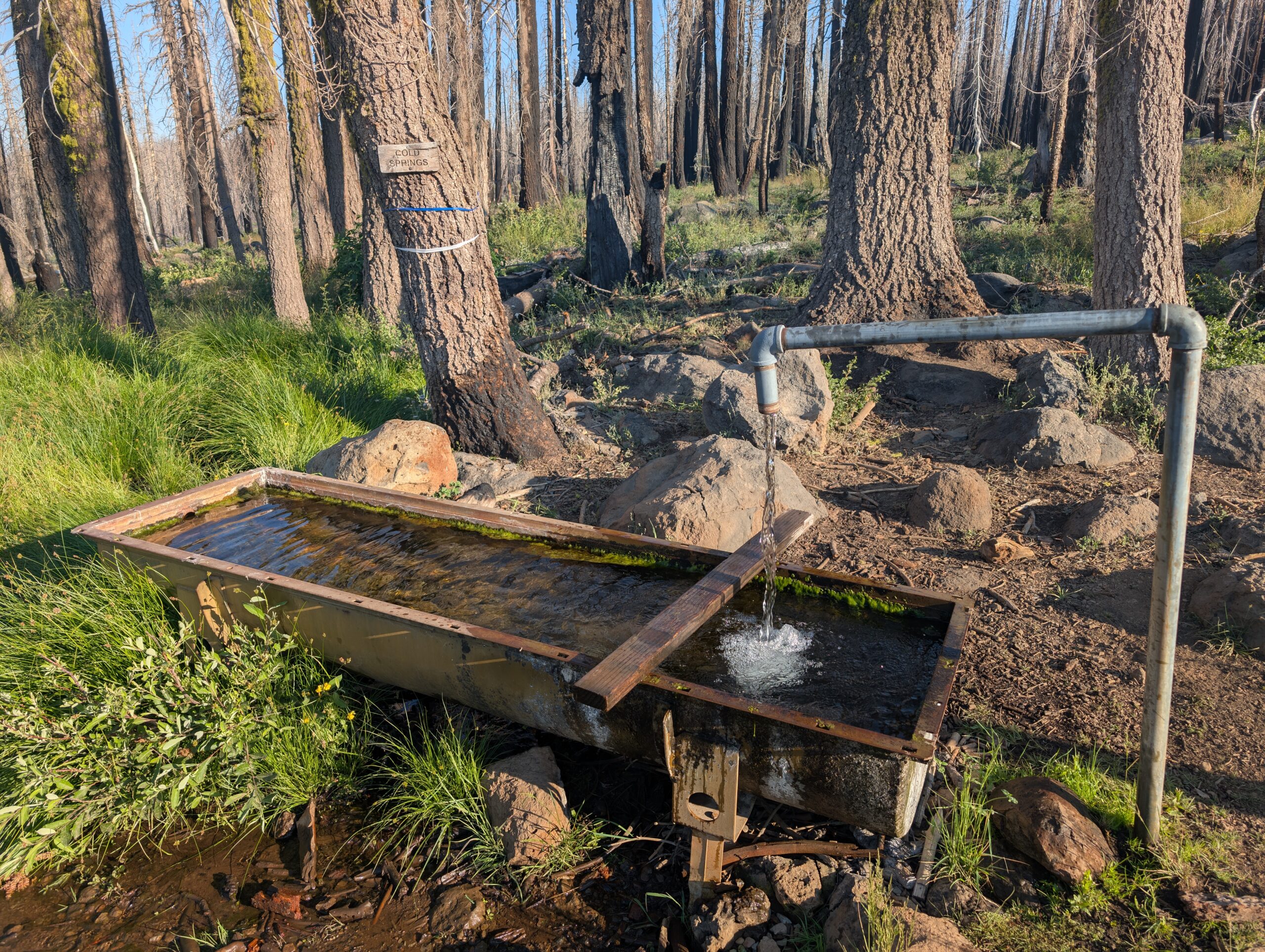
The only “safe” area to camp away from the dead trees was along a dirt road next to Cold Springs. The ground was covered in a thick layer of some dirt-ash hybrid substance. Some hikers described it as “moon dust”. Setting something down or taking a step would cause a plume of dust to erupt. Fortunately, Cold Springs was one of the best water sources on trail, gushing fast, cold, and clear from a pipe. It ended up making for a decent campsite.
7/10 – Day 82
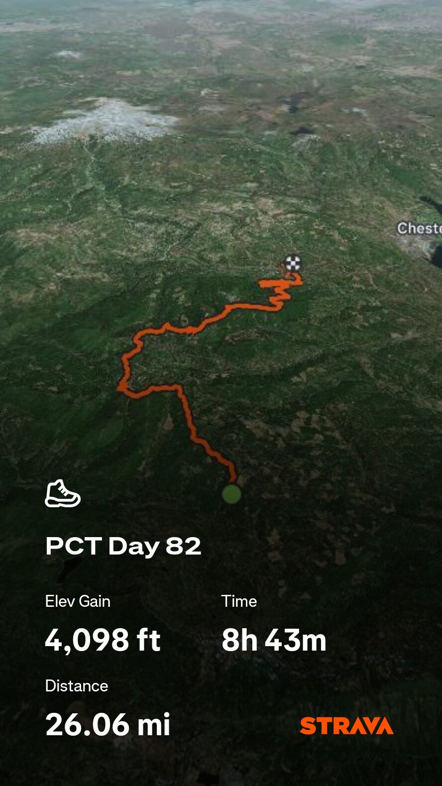
25.9 miles from Cold Spring to Chester, CA
July 25s: 7
The stretch of trail to highway 36, like most of the last 100 miles, was completely devastated from the Dixie Fire. In the distance, we could see the prominent peak of Mt. Lassen, the southern most active volcano in the Cascade range. The surroundings were obscured in haze, which we later learned was smoke from the Green Fire burning south of Mt. Shasta.
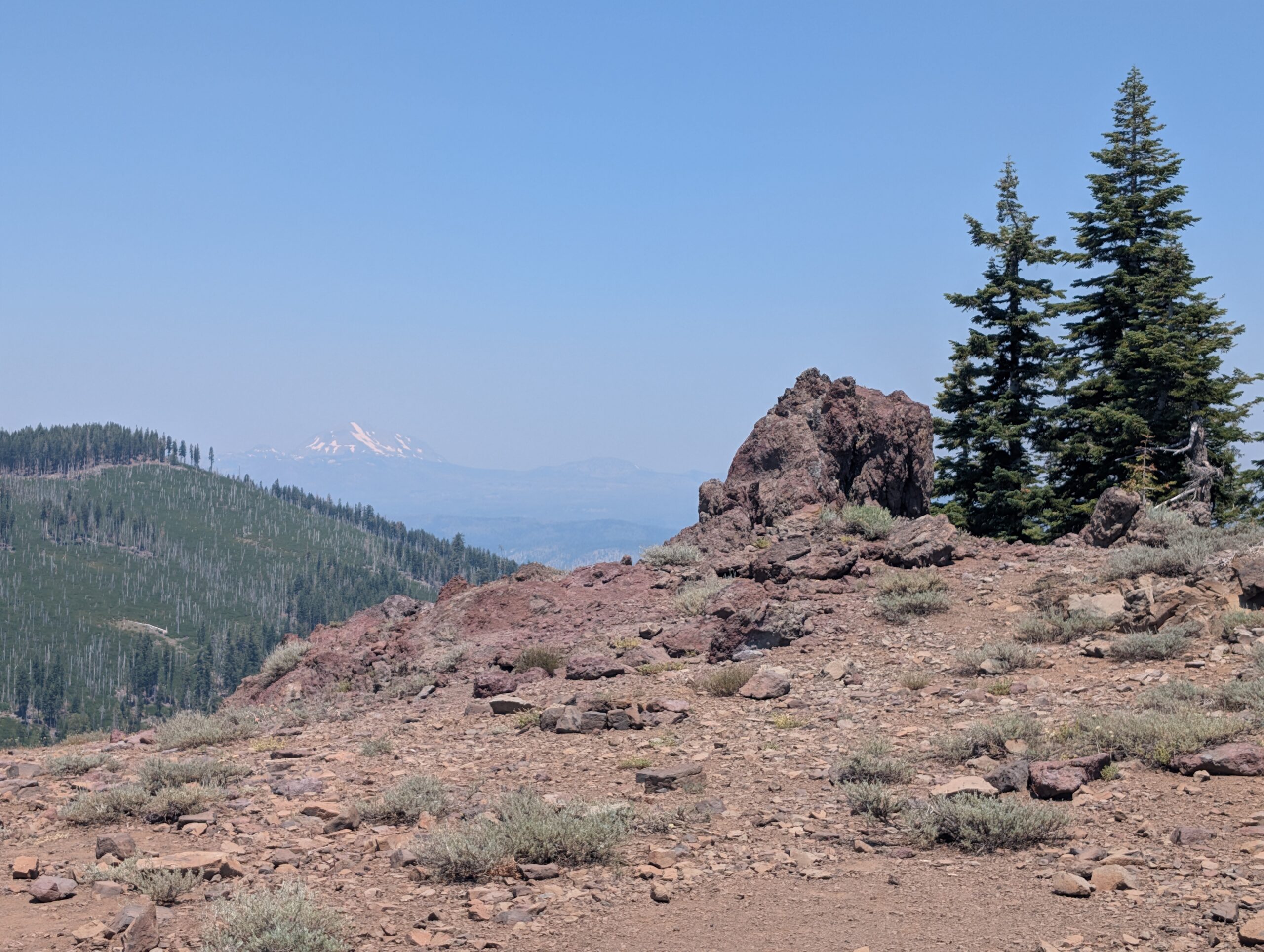
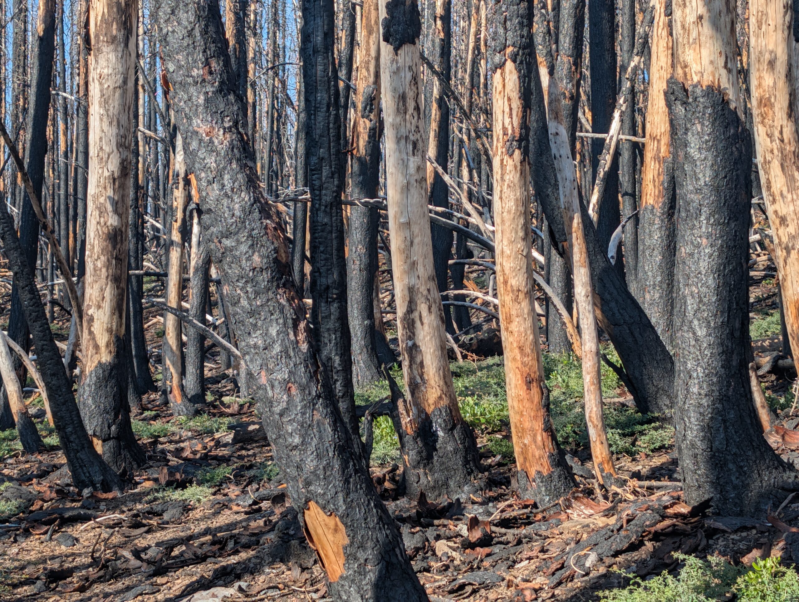
NorCal is like that part in the Planet Earth series when David Attenborough starts talking about climate change. Everyone wants to go back to seeing penguins, but exposure to the other side of reality is important too. I am not going to pretend I fully understand wildfires and their role in a complex ecosystem, but seeing the devastation firsthand is a sobering experience and enough to make anyone question what can be done about them.
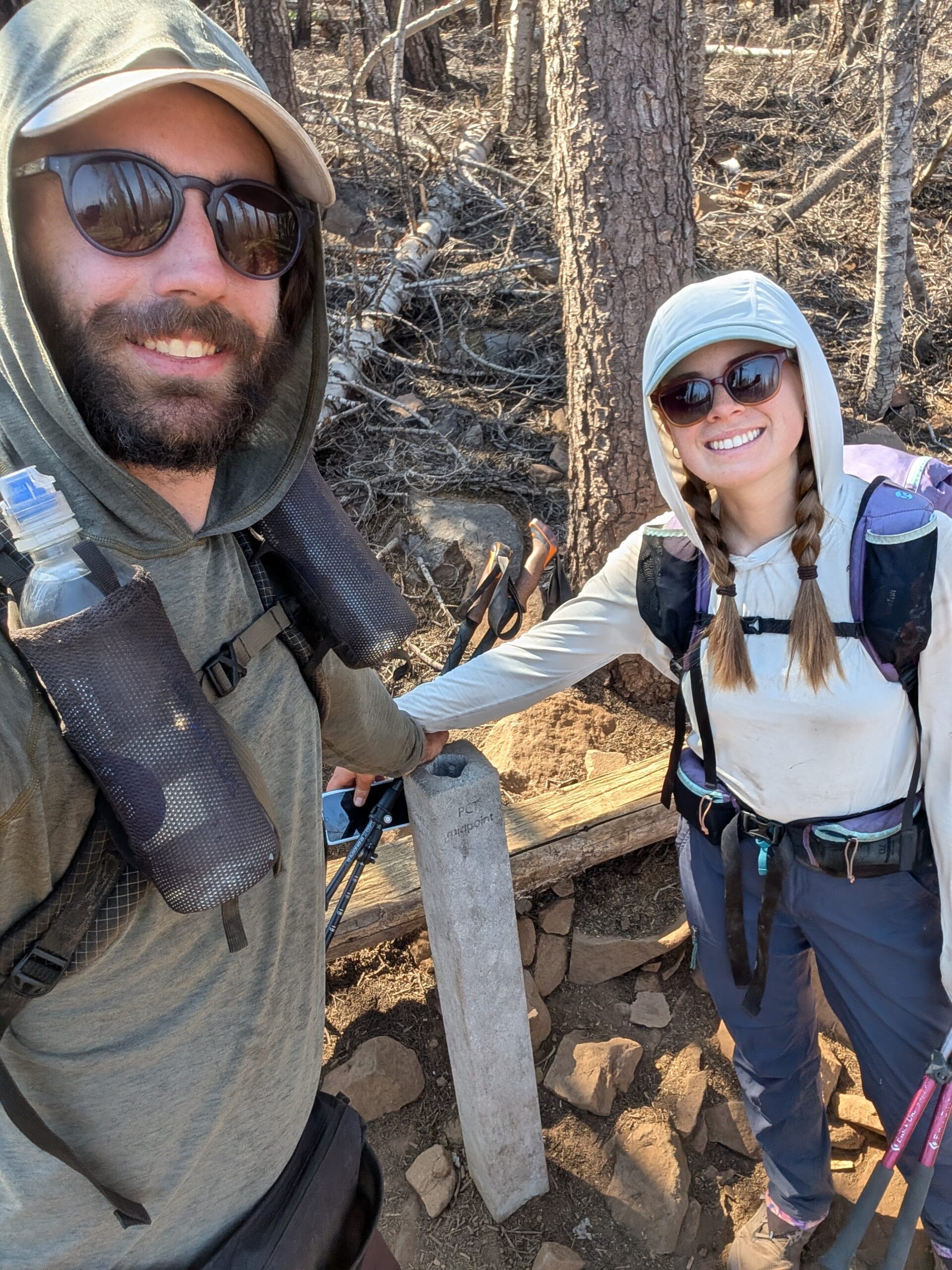
After a long and hot morning hiking through the desolation, we reached the halfway point of the PCT! There we stood, roughly 1,325 miles away from both the southern and northern U.S. border. It feels like we have been on trail for a lifetime and that this milestone was long overdue, but the numbers do not lie. I am so proud to reach this point as a continuous footpath from Mexico. Yet, we were still in the same damn state that we started in. California is big.
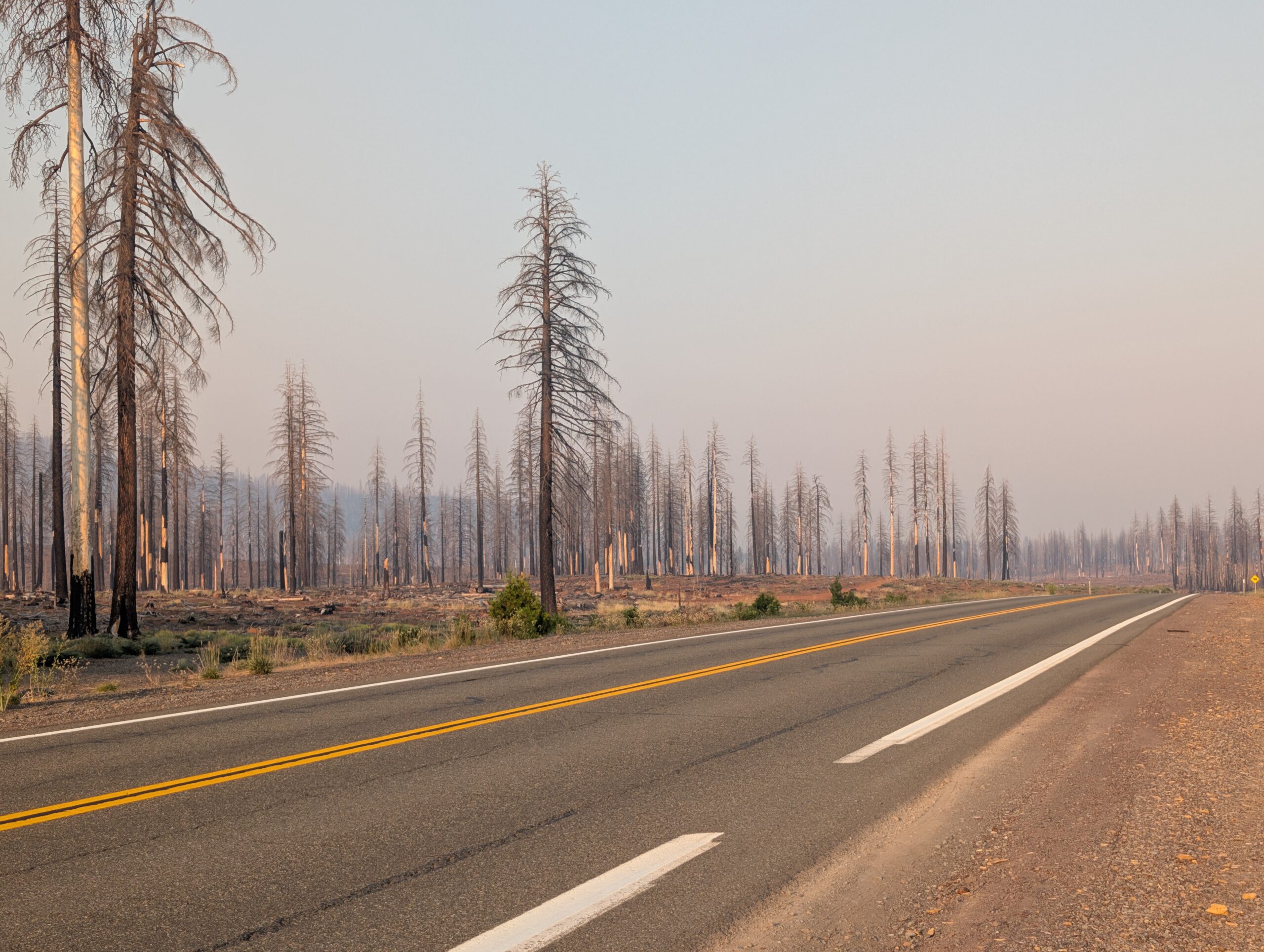
Several more hours of hiking followed through similarly scorched terrain. We have been relying heavily on audiobooks to grind out the otherwise tedious mileage. Around 7:00pm, we reached highway 36 which led 8 miles into the town of Chester, CA. The hitch took a solid 15 minutes.
We grabbed a bite to eat at Aslan’s Mediterranean Grill. The food punched way above its weight class for a town as small as Chester. Baba ghanoush, shish kebabs, and fresh hummus were the perfect midpoint celebratation. Afterwards, we did a quick resupply at Holiday Market. Then, we found a stealthy site along the Feather River to post up for the night.

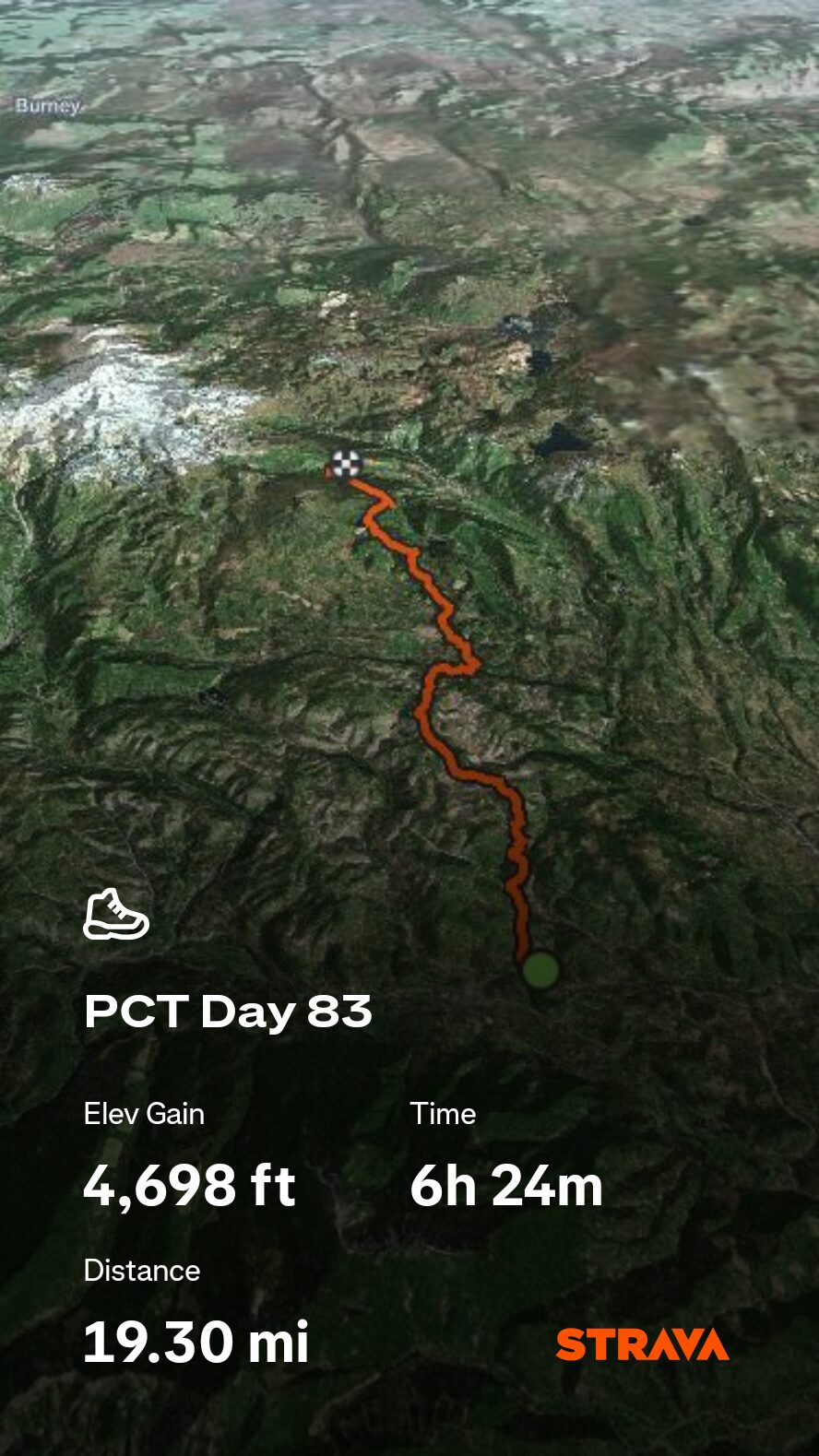
7/11 – Day 83
19.0 miles Highway 36 to Warner Valley Camp
July 25s: 7
In Chester the hardware store opens thirty minutes before the coffee shop. I think that says a lot about the blue collar logging town. There were several stops on our agenda, starting with Ayoobs Hardware, where Spout had a new pair of shoes waiting for her. The post office opened later and we retrieved a package with a collection of new gear. Hali has been so helpful in organizing the barrage of shipments that we send to her house, then forwarding them to us at random trail towns.
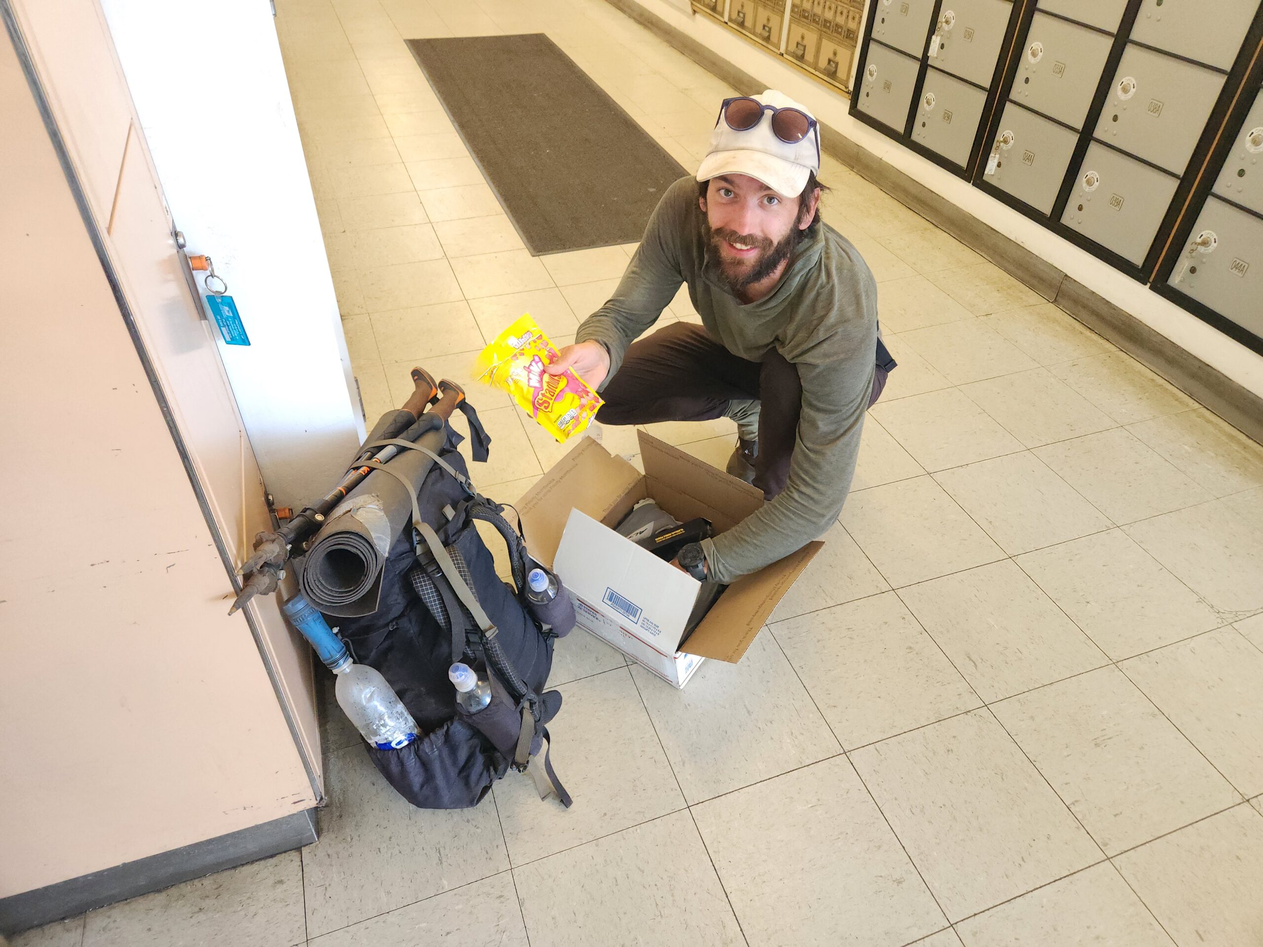
We had coffee with Lemon and Linguini at the Dutch Koffiehaus. Eventually, when it was time to head back to trail, a man at the post office casually mentioned he was heading that direction if we needed a ride. Simply accepting the ride turned into stopping at his house to fill up water, which led to an invitation to shower. We ended up spending a lovely afternoon on the back patio with David and his wife, Karen.
David was a passionate gardener and beekeeper who had no shortage of stories to share about about his hatred for the PG&E company that was to blame for the Dixie Fire that nearly destroyed his home. We could have stayed with them all day, munching on cold watermelon, listening to their tales. When it was time, David drove us back to the trail after a brief detour to Lake Almanor.
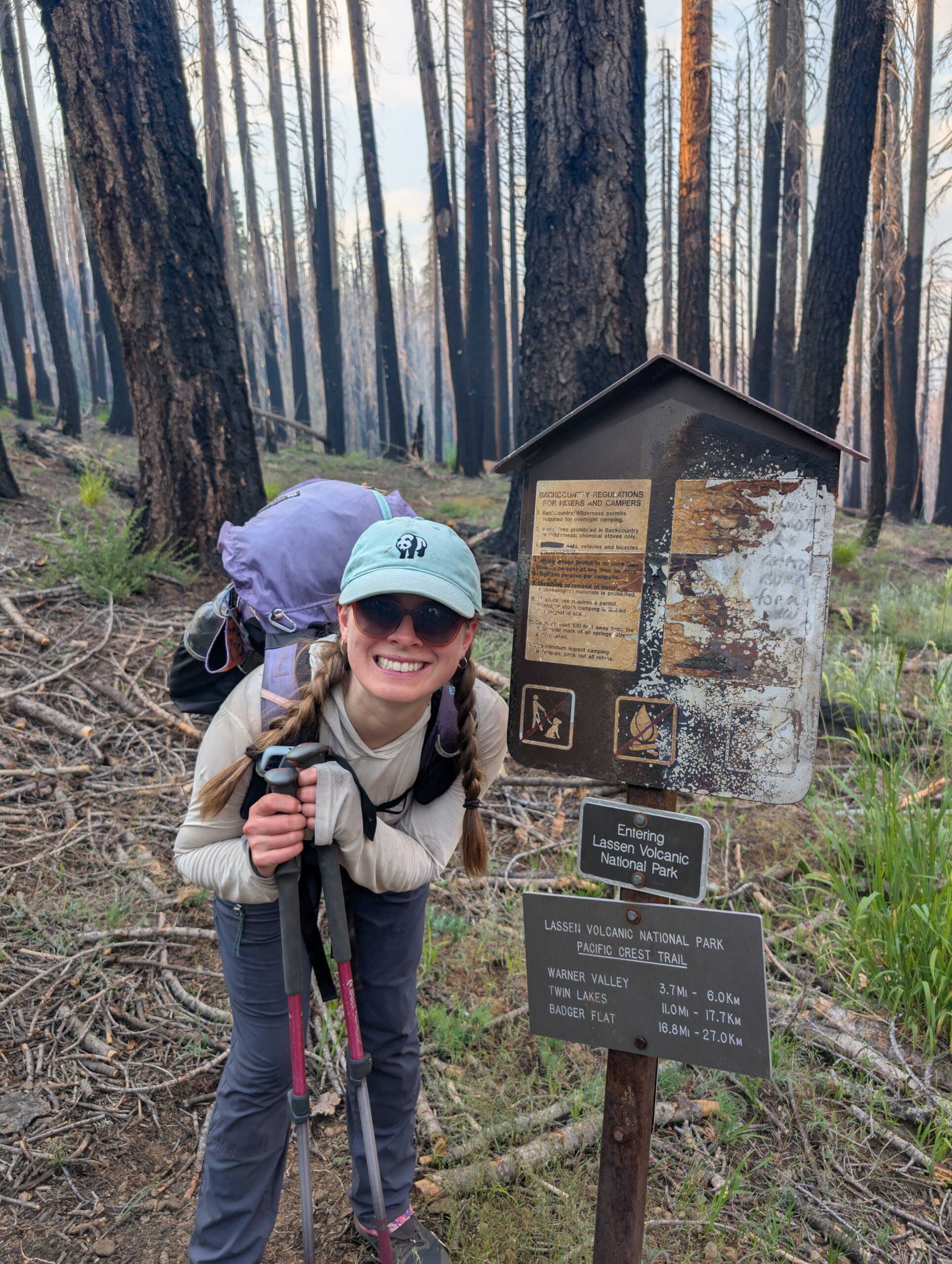
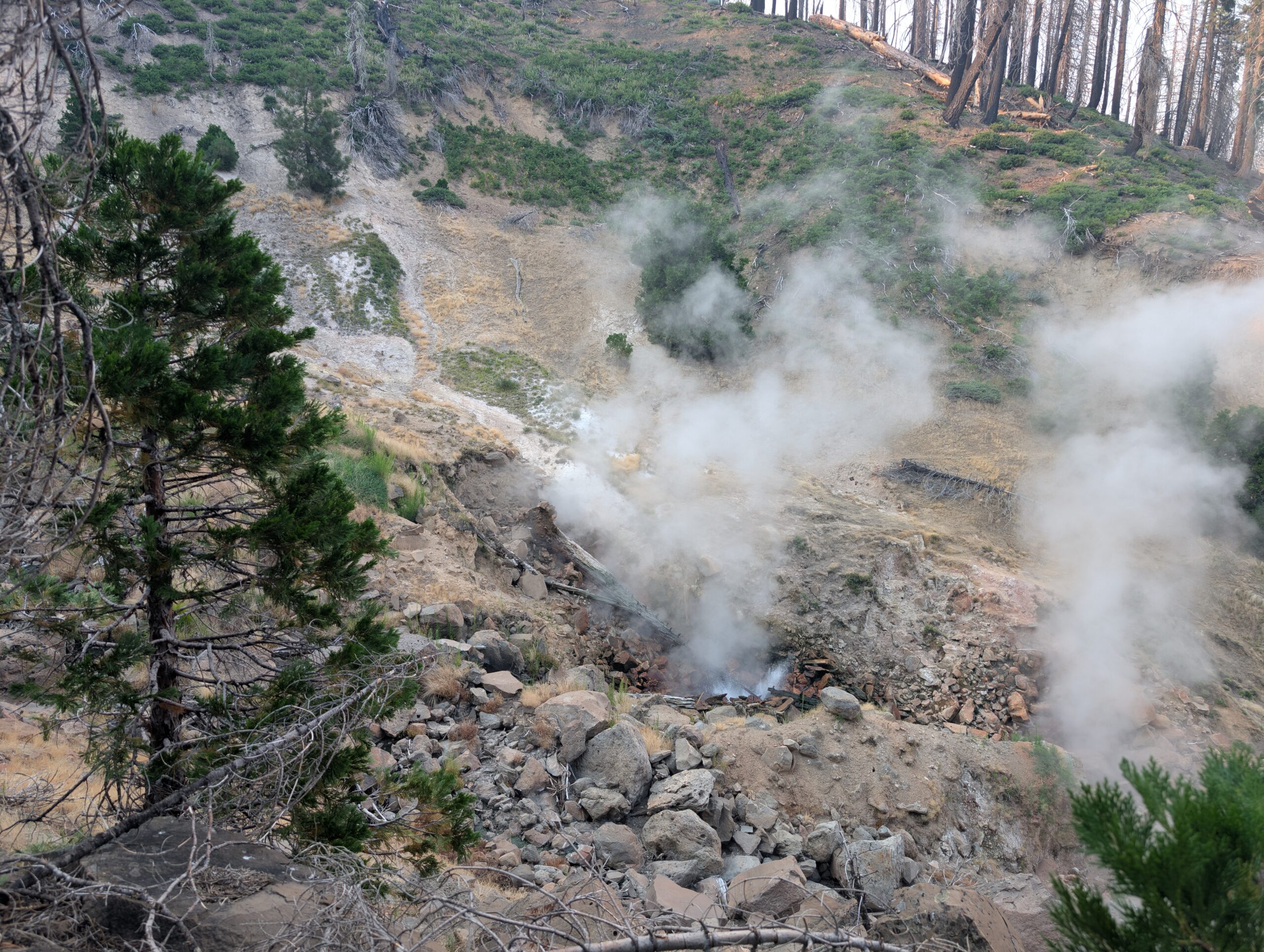
Another day of starting the hike at 1:00pm with virtually no shade followed. The high was creeping towards 100°. Spout and I hiked twelve miles or so to the entrance of Lassen Volcanic National Park which was also hit badly by the wildfire. Terminal Geyser was a short side trail that featured a steadily steaming geyser, along a few spurting pools of hot, sulfuric water.
The aquamarine-colored Boiling Springs Lake was a bit further along. It looked like the kind of lake I expected to be lurking among a volcanic landscape, surrounded by sand, bleached rocks, and was supposedly quite hot.

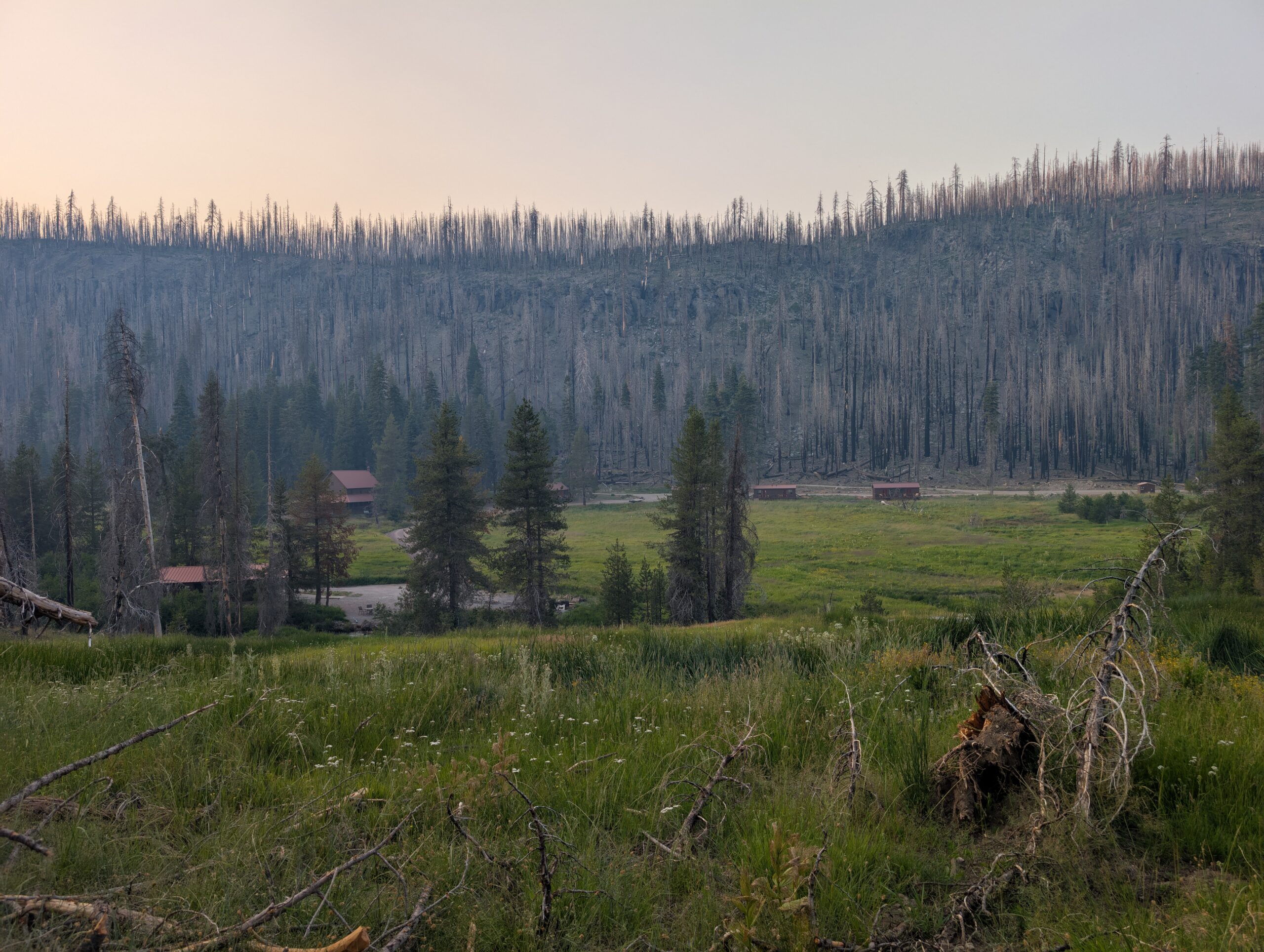
We reached the area of the park called Drakesbad. Fun fact: Drakesbad is Kendrick Lamar’s favorite vacation spot. There were a few cabins and a campground spread out along Hot Springs Creek. We tented in the Warner Valley Campground for the night and enjoyed the stone picnic tables during dinner with Lemon and Linguini.
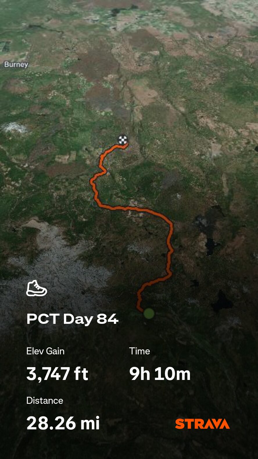
7/12 – Day 84
27.0 miles from Warner Valley Camp to Old Station
July 25s: 8
Our second day within Lassen Volcanic National Park was largely uneventful, exposed, and very flat. Had there been any trees to block the sun, it would have been an easy day, but instead it was just sweaty. Spout said, “I have to wring out my eyebrows put that in the blog”.
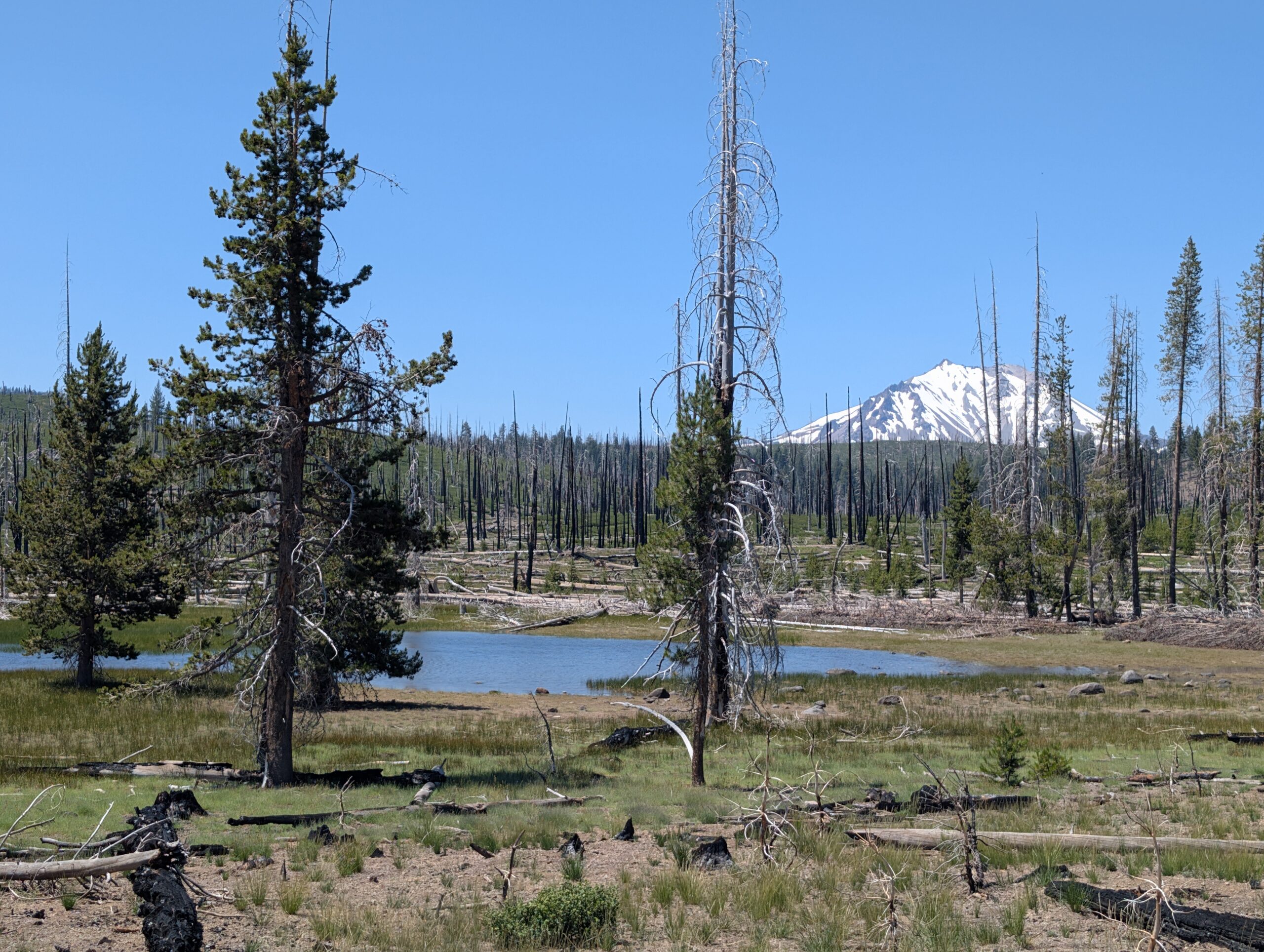
The trail passed Twin Lakes and offered some nice views of the towering Mt. Lassen. To pass the time as we hiked, Spout and I listened to audiobooks or music. I convinced Spout to give “Braiding Sweetgrass” a listen and she immediately resonated with the message of restoring reciprocity with nature and community. Everything that we need to be happy and fulfilled has already been gifted to us by the Earth, like the wonderful, ice cold water that flowed through Hat Creek.
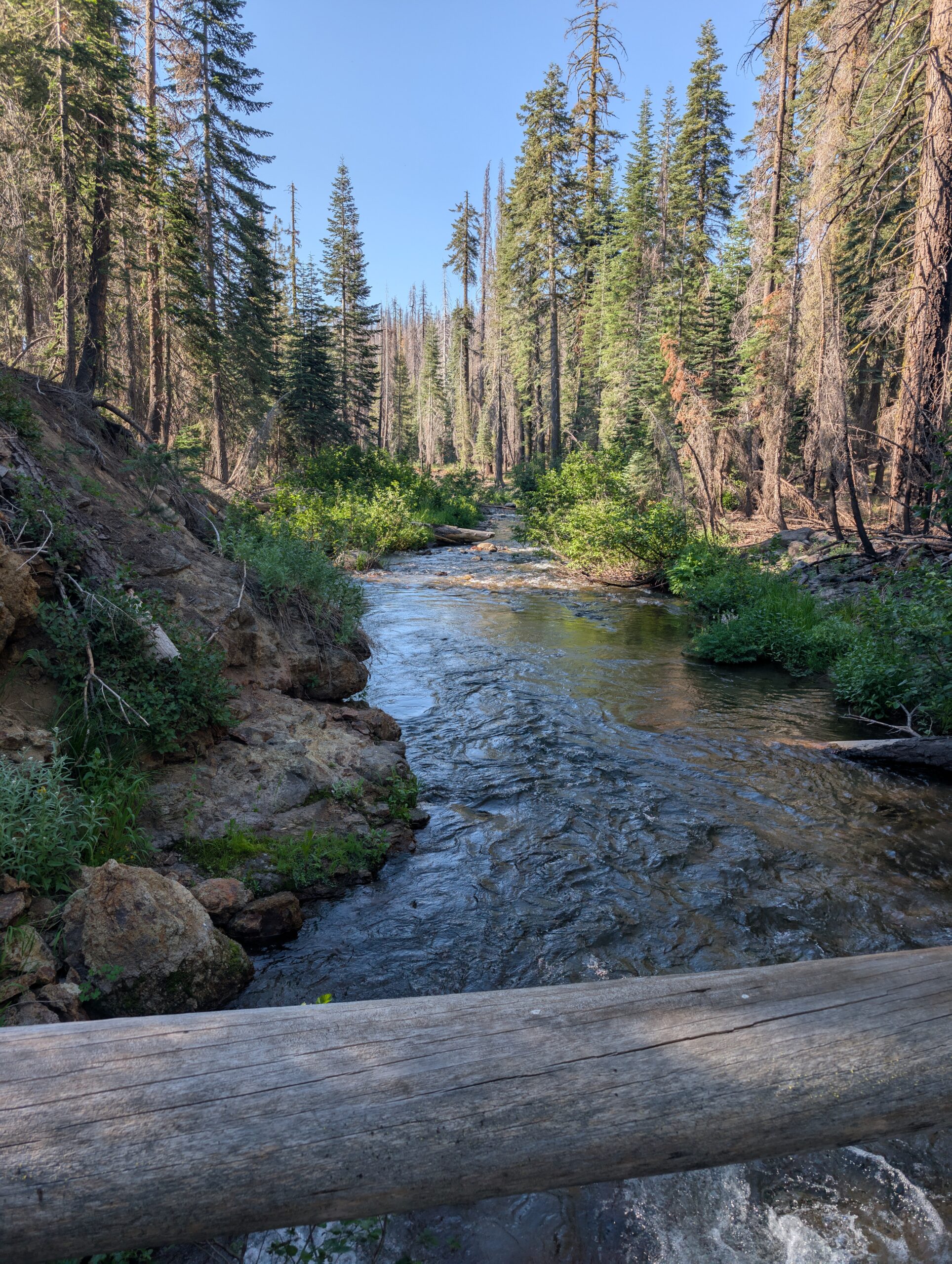
We left the National Park and continued through Lassen National Forest. This area was where the nearly continuous burn zone finally reached its end and we walked through healthy douglas fir for several miles.
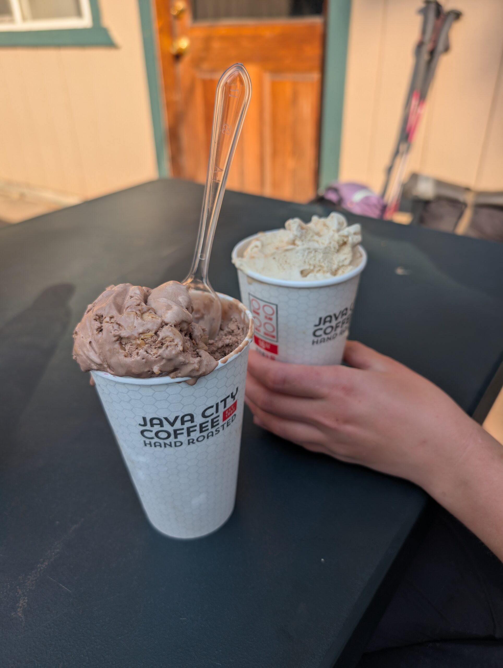
We followed a 0.2 mile dirt road into Hat Creek Campground and headed to the general store. The woman working there gave us the inside scoop on how they fill cups with more ice cream than the cones. It was an amazing treat on such a hot day. We enjoyed our dessert on the picnic tables with a guy named Section Mike.
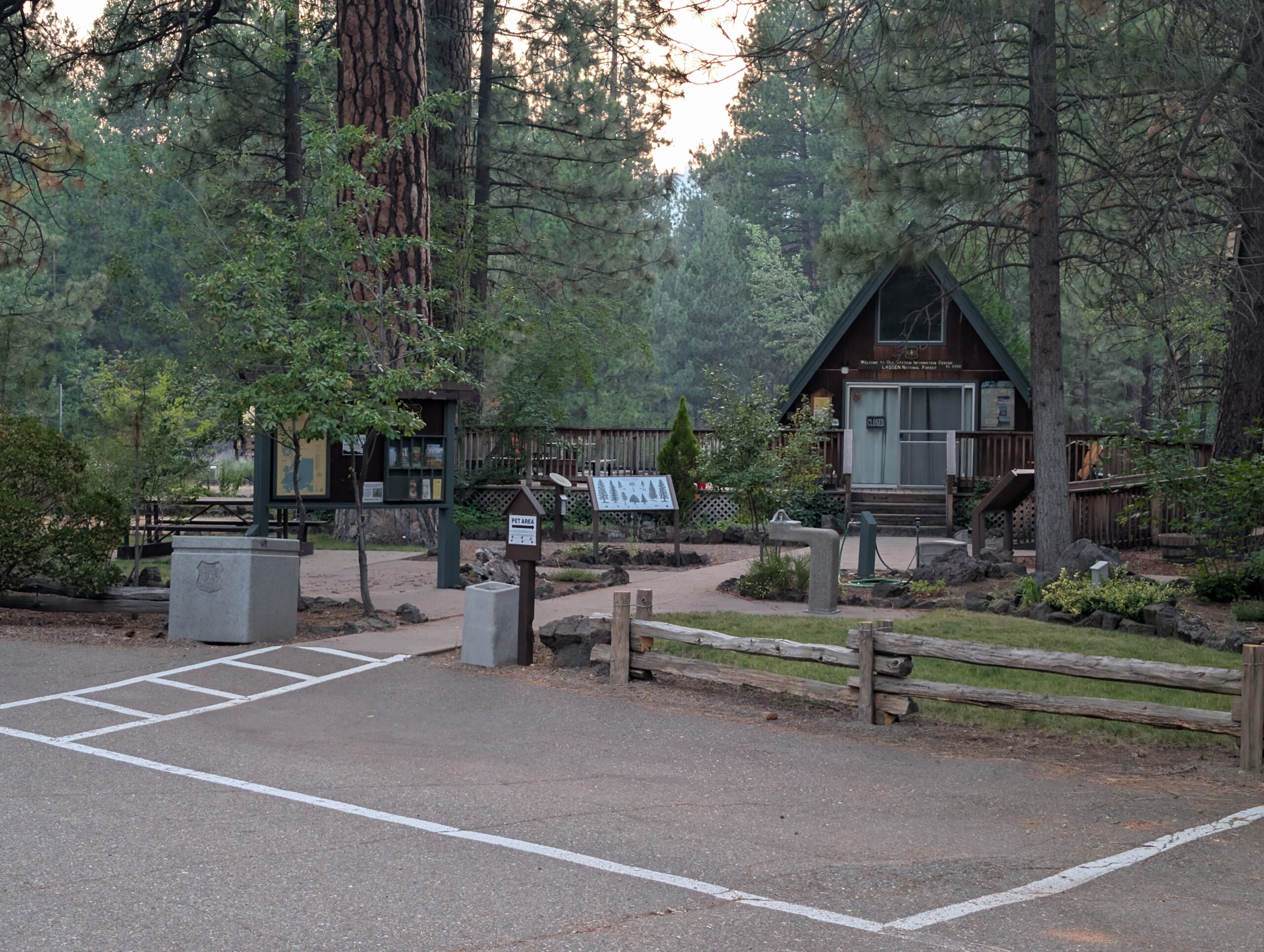
A few more easy miles brought us to Old Station and we took the road into town. There was good space for camping behind the visitor center.
7/13 – Day 85
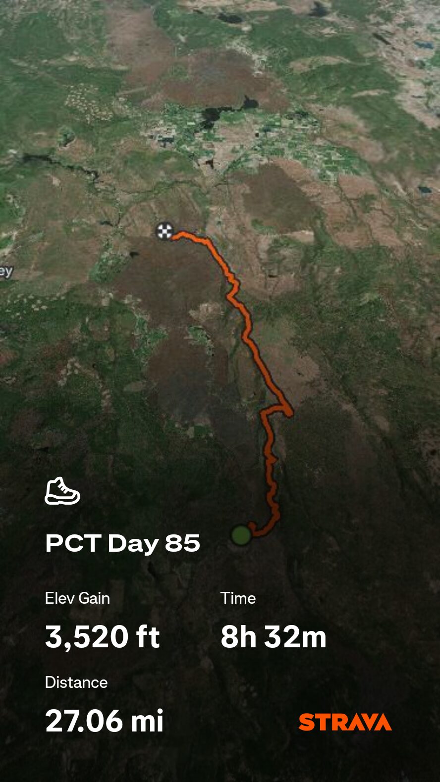
25.8 miles from Old Station to Cassel Fall River Road
July 25s: 9
The Old Station Fill Up gas station was our first stop in the morning. Nothing too exciting, but it meant we could start the day with microwaved Jimmy Dean breakfast sandwiches instead of oat bars.
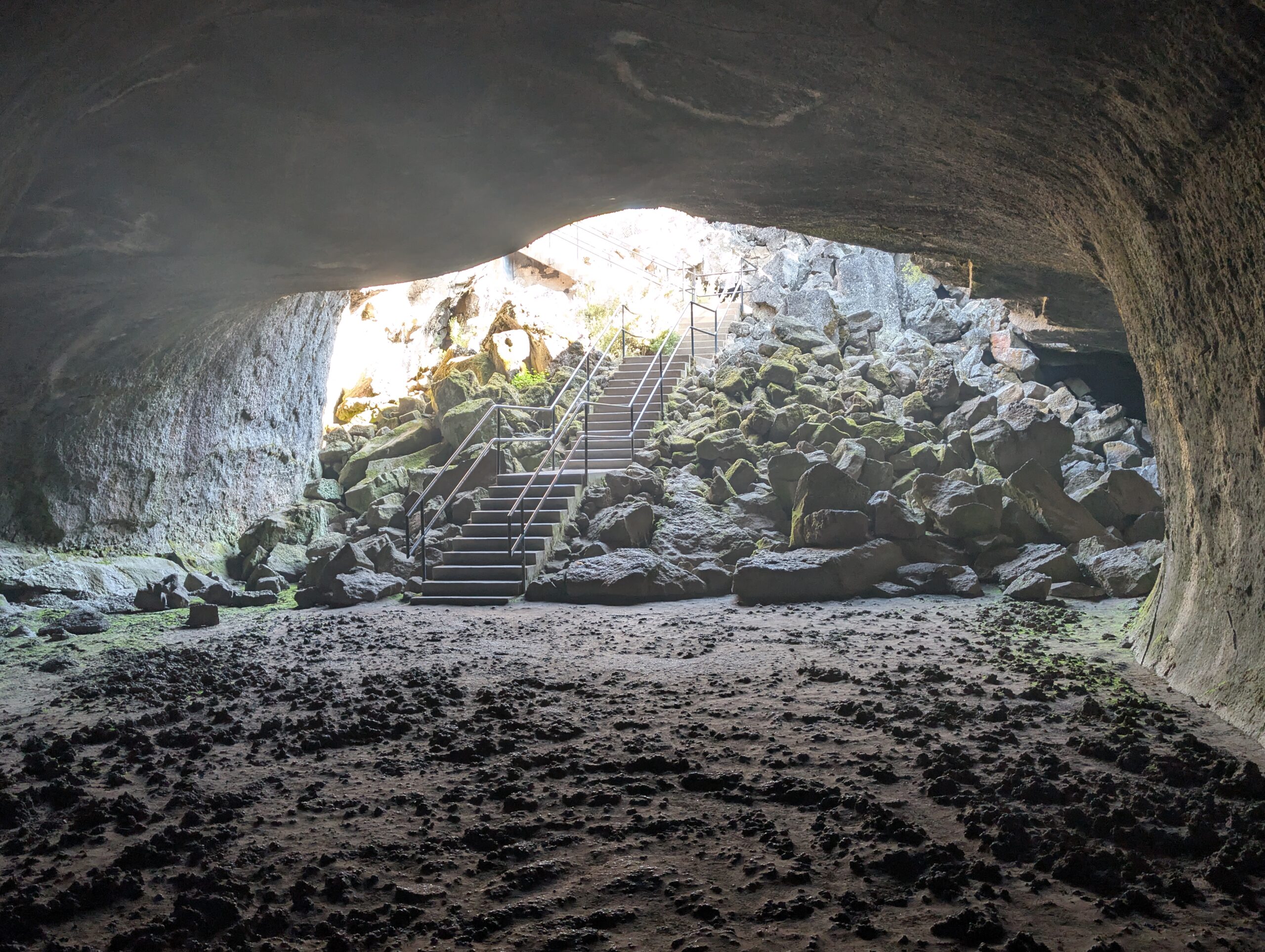
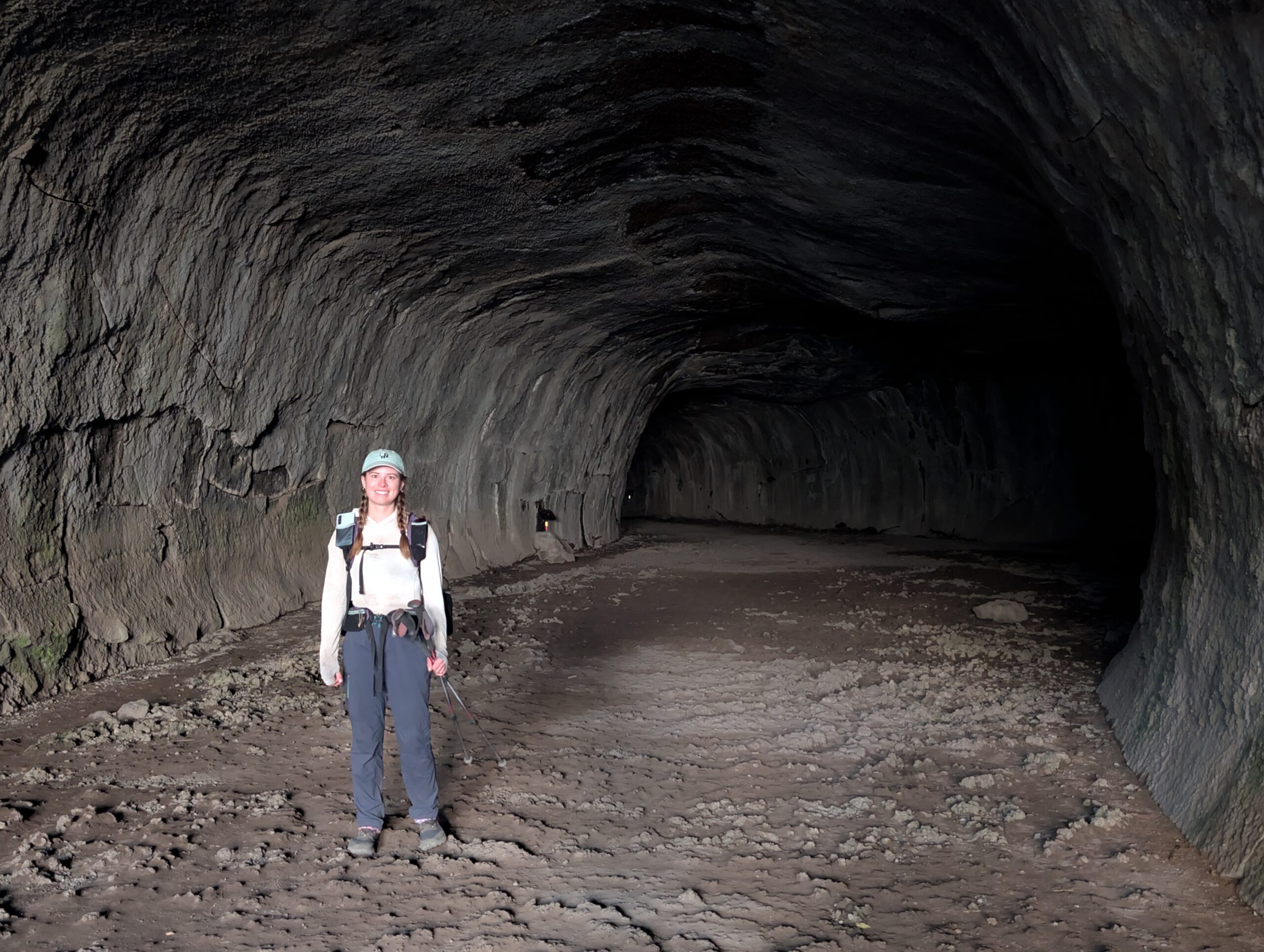
A short walk down the trail took us to Subway Cave. This was a lava tube, a quarter mile in length, formed from a few separate lava flows. The inside was so dark we needed to navigate with our headlamps and was probably 40° colder than outside. It was a fascinating detour and the highlight of Lassen National Forest. We popped out on the other side of the cave and made our way back to the PCT.
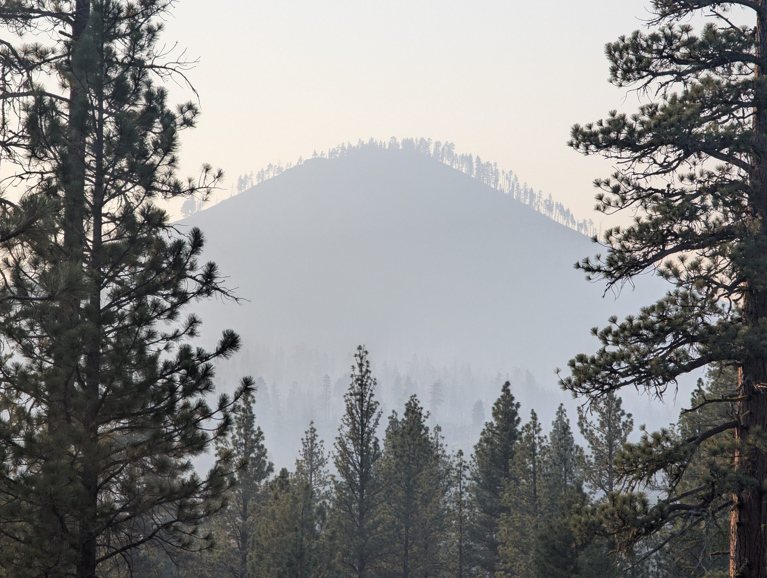
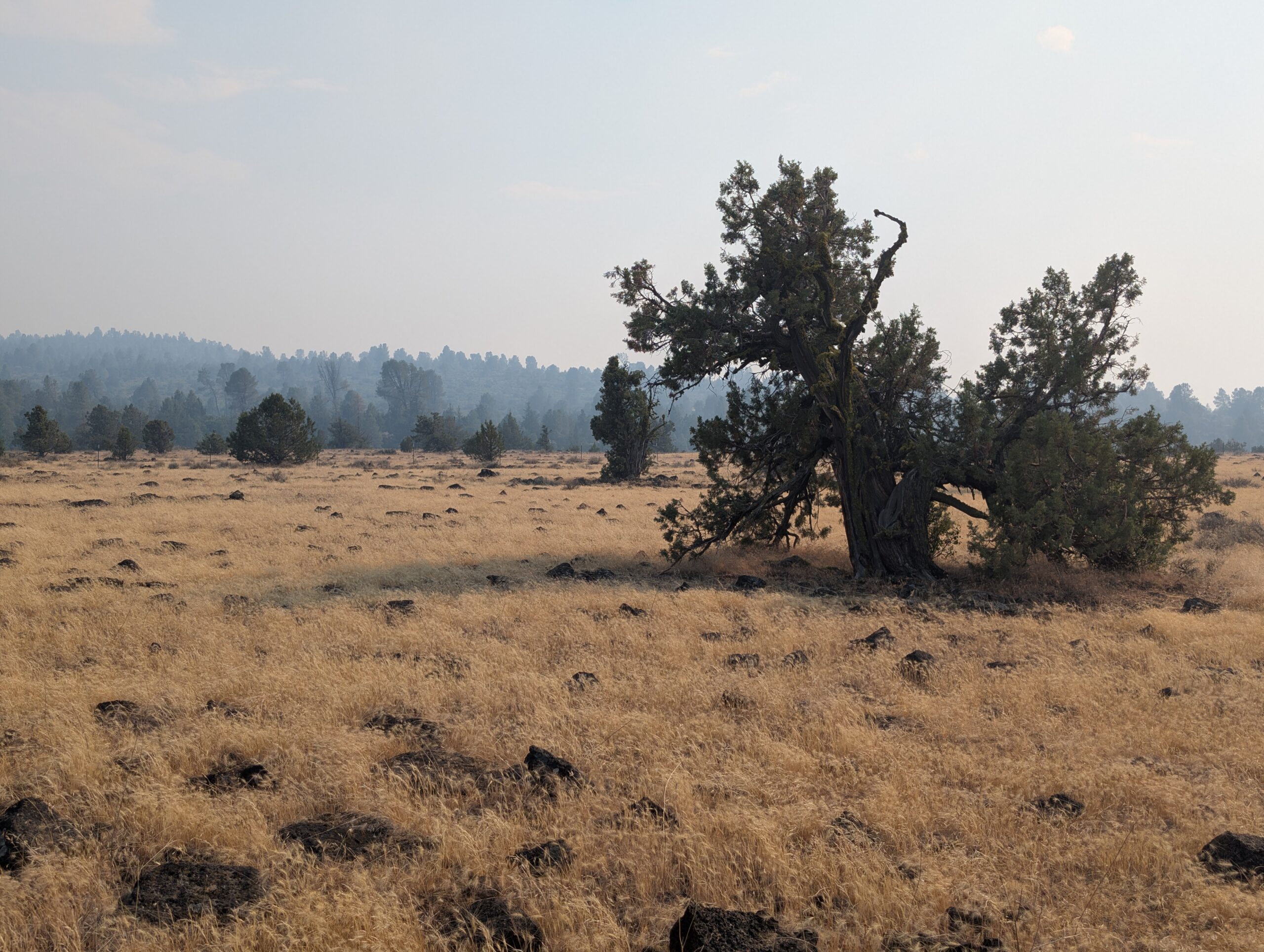
A high heat advisory collided with a low air quality index to form a truly miserable day for hiking. Views of Mt. Lassen and Mt. Shashta were diminished to hazy outlines due to the smoke blowing south-easterly from the Green Fire. The air had a sour smell to it, but I personally did not feel like it affected my breathing much. Fortunately, the terrain was exceptionally flat so we avoided the heavy exertion from tough climbs.
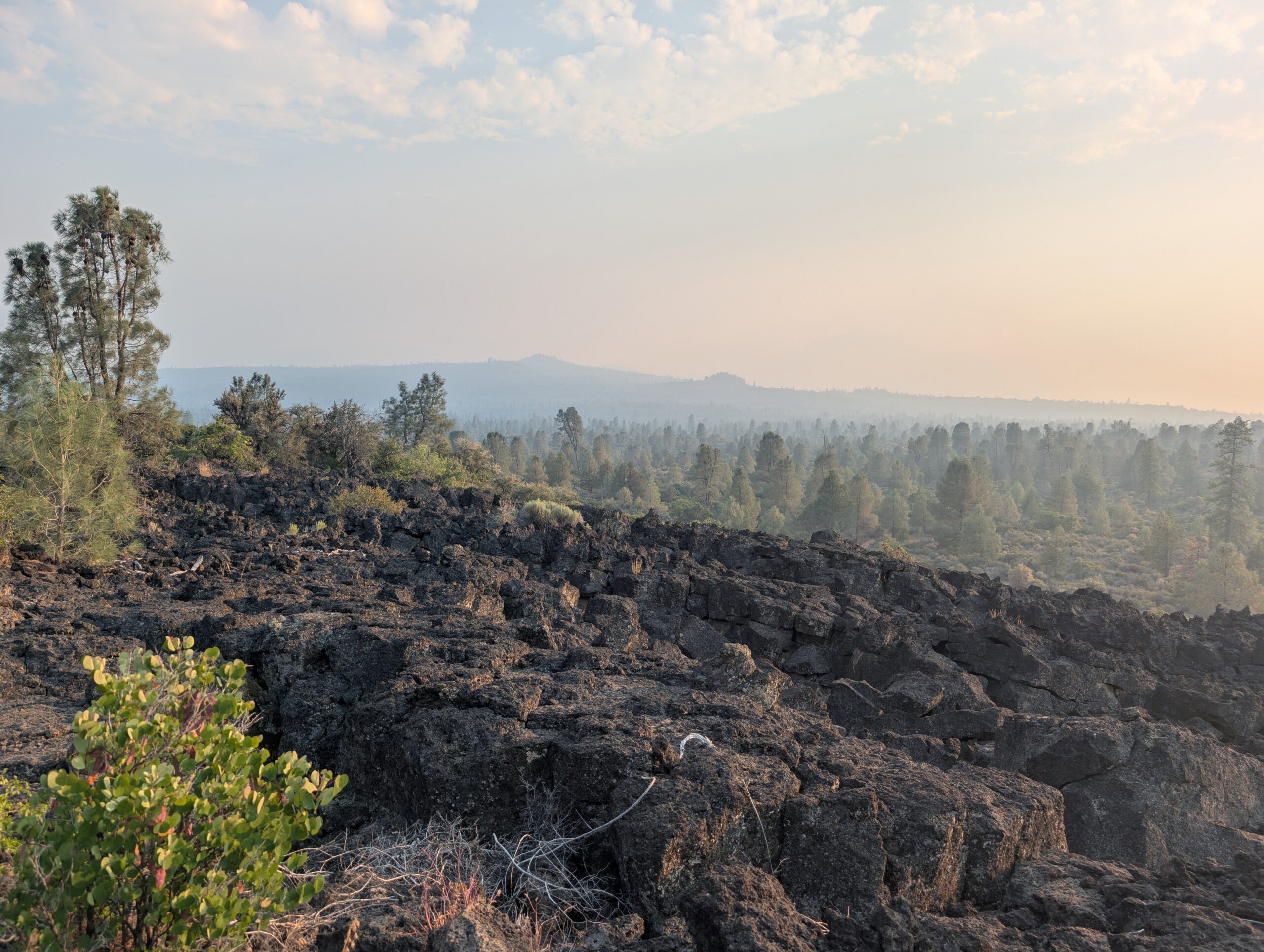
The heat was relentless and there was only a small tree offering shade every few hundred yards, if that. On top of all of this, we were in the midst of a 30 mile dry stretch. The water we hauled with us was boiled under the sun, so every single sip was hot and un-refreshing.
There was little positive to say about the hike, that is, until Magic Man saved our lives. Trail magic is all about timing, and handing out ice cold drinks at a random crossing of Bidwell Road on a hot day was better than steak and lobster at the moment. Section Mike, Dark Sky, and Ace joined us at the oasis.
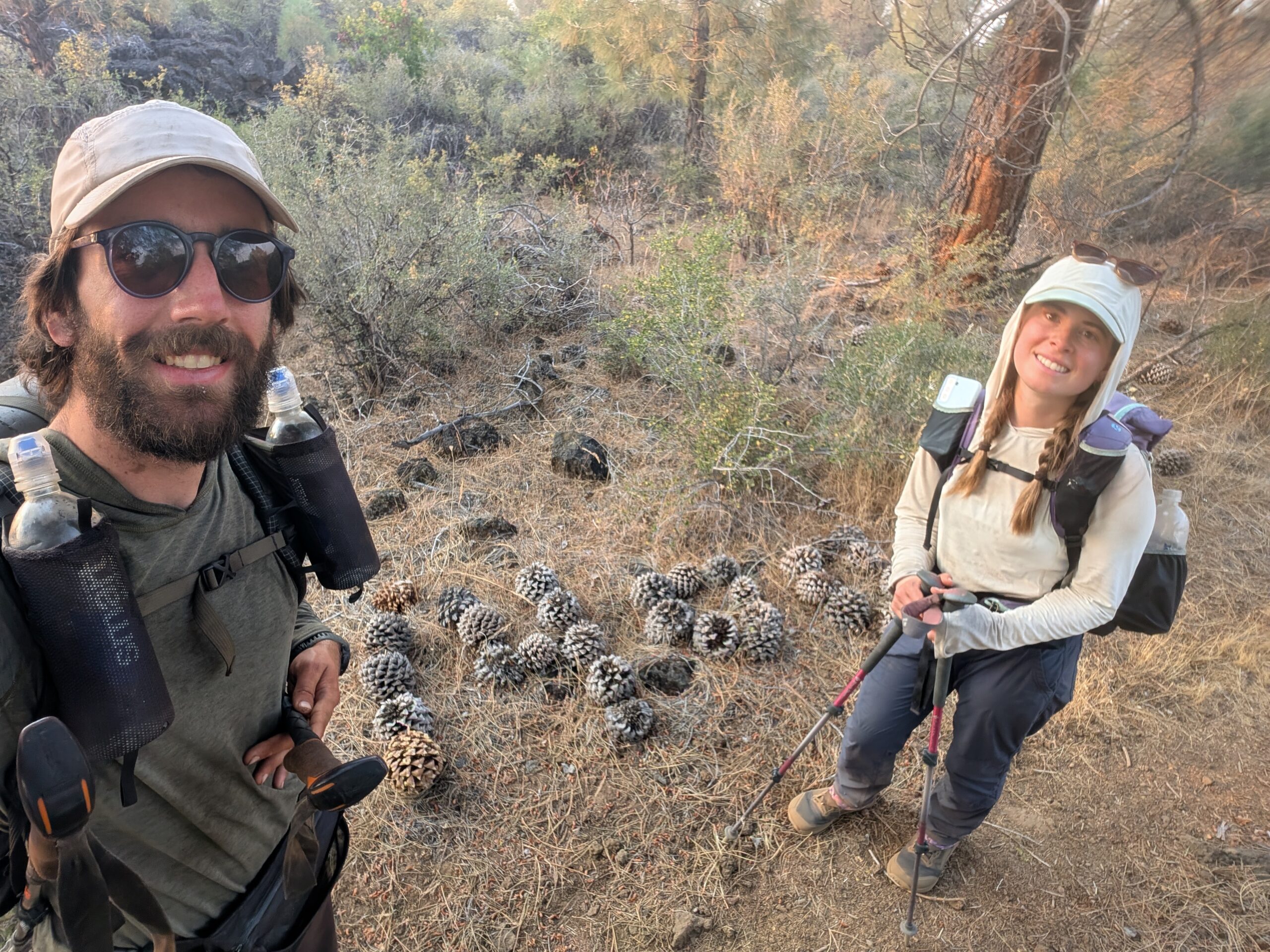
The Swiss couple commented on how small our packs were (the best compliment hikers can bestow) and how we were lucky that we could ship home gear that we no longer needed. I never really appreciated this before. Ace told us it cost them $200 to ship their ice axes to a friend’s house in Canada, the bulk of the cost resulting from the new tariffs put in place during the trade war.
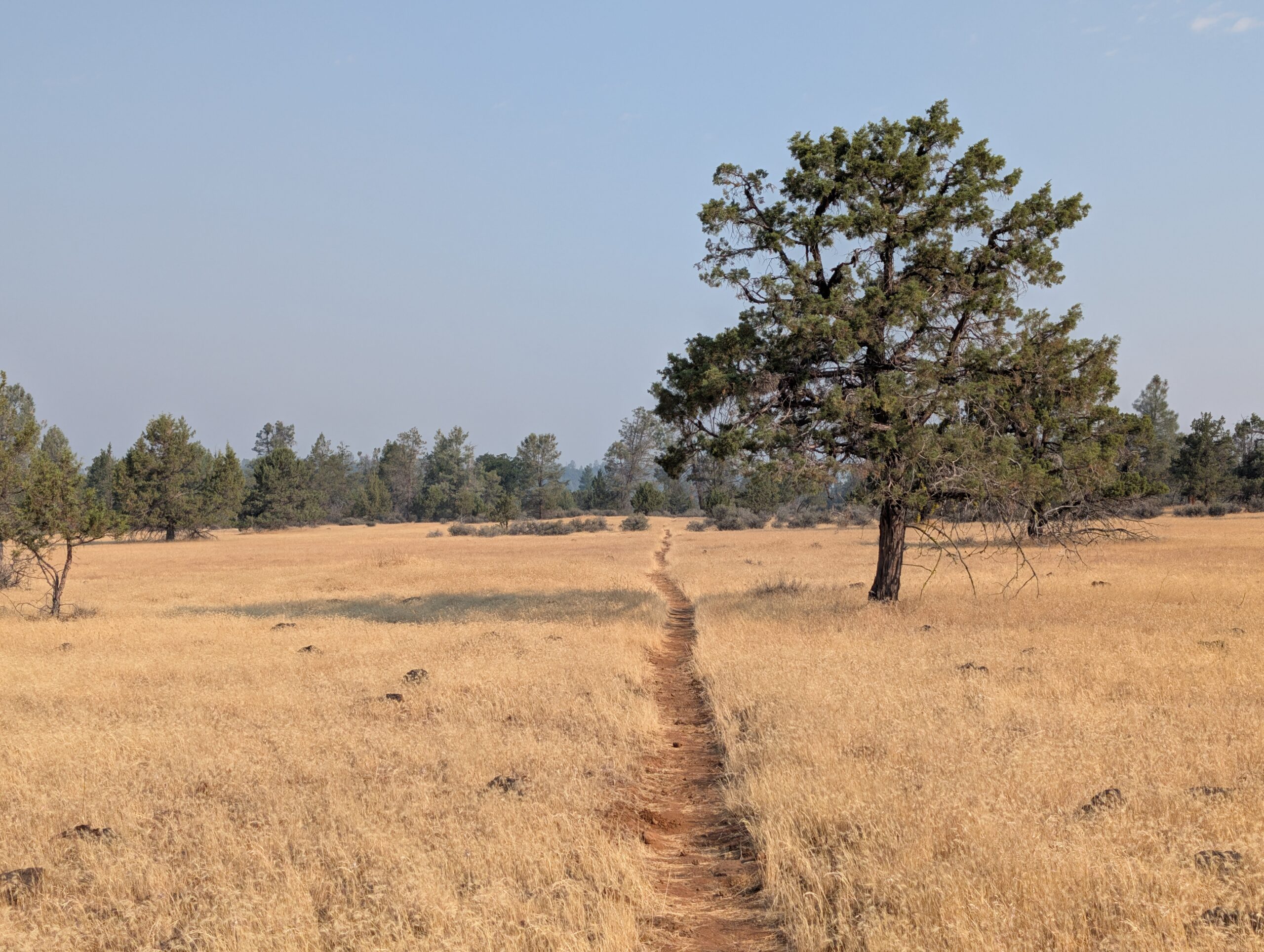
After hanging out until past 4:00pm, the day showed no signs of cooling down. We filled up our bottles at a water cache, then reluctantly continued hiking through the barren landscape. On all accounts, it felt like we were back in the desert, except this time the ground was littered with shards of volcanic rock. We pitched our tent on a dusty clearing and crawled into our tent, still sweating and absolutely filthy.
As darkness settled and we laid on our pad, I heard a strange noise in the distance. It sounded like a woman screaming in short, abbreviated spurts. We listened closer, “rowh! rowh! rowh!”, the caterwauling of a mountain lion. It could not have been further than a quarter mile from our tent. There was nothing we could do except lay out heads down and try to sleep.
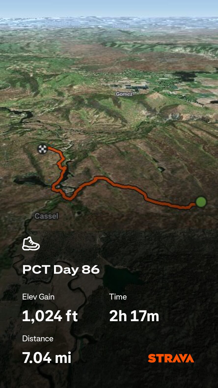
7/14 – Day 86
6.7 miles from Cassel Fall River Road to Burney Mountain Guest Ranch
July 25s: 9
The mountain lion attacked us overnight! Just kidding, nothing cool ever happens out here. It was just another oppressively hot day, even at 7:00am when we woke up. The light at the end of the tunnel was an air conditioned bedroom at the Burney Mountain Guest Ranch, less than seven miles ahead.
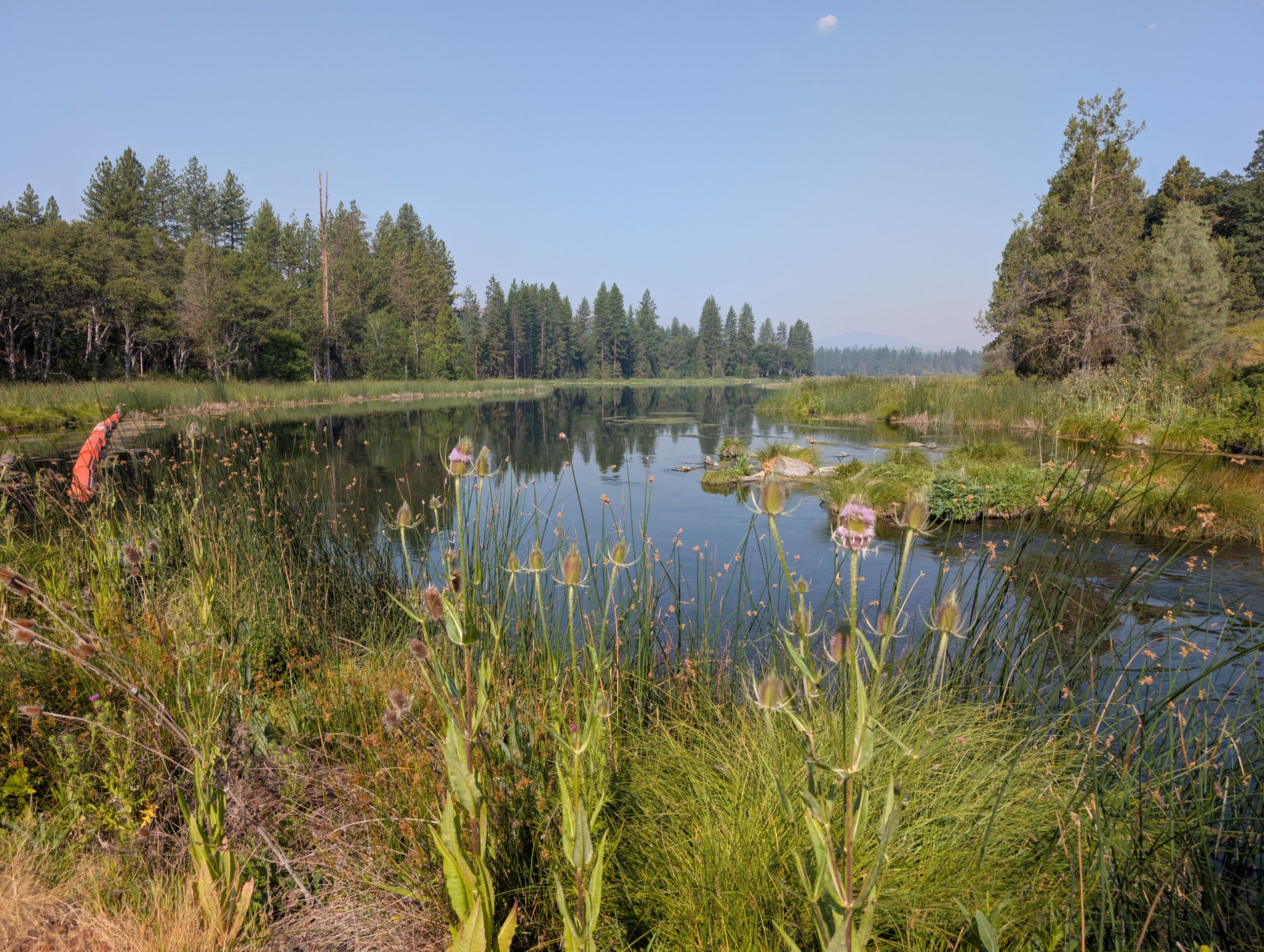
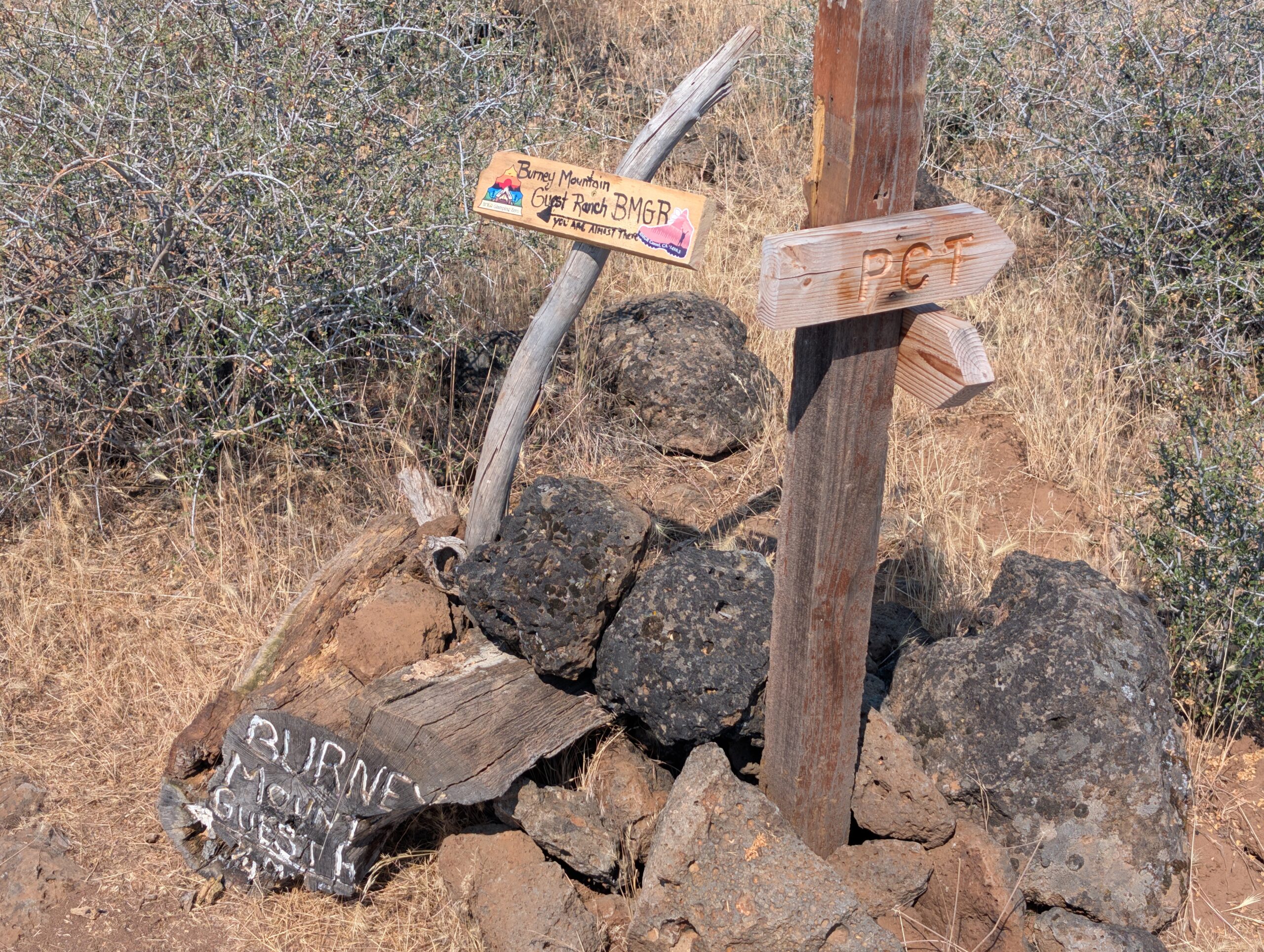
The trail took us past Crystal Lake and the fish hatchery. Afterwards, we arrived at the ranch and a glorious salt water swimming pool. Compared to other ranch-style accomodations we have stayed at on the PCT, such as Kennedy Meadows North and Vermillion Valley Resort, Burney was easily the most hospitable and affordable. It was quite possibly our favorite stay yet.
We swallowed the frog and did all of our laundry first. Pre-rinsing our socks took nearly as long as the washing machine itself. After ten minutes of rinse, wring, repeat, the water oozing from the wool was still dark brown. When showering, we paid careful attention to patches of “perma-dirt” on our skin. Unlike normal dirt that rinses of easily, perma-dirt is baked in deep and requires scrubbing akin to removing wine from carpet.
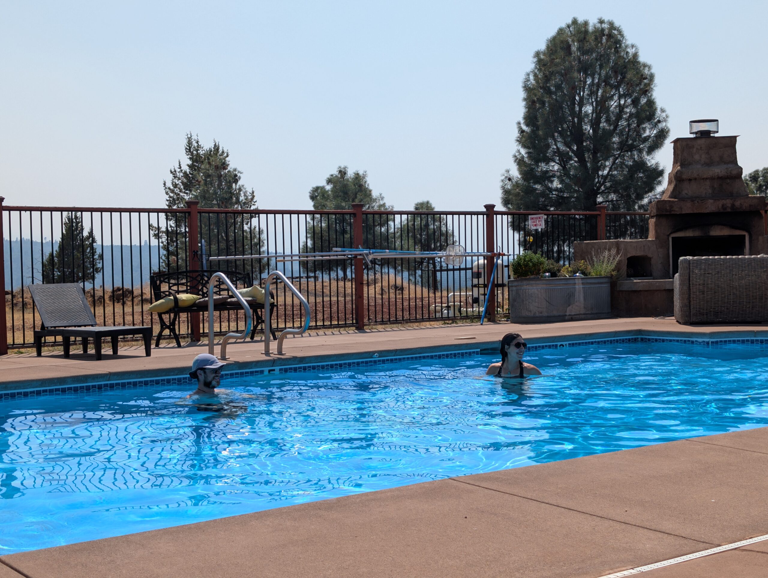
After an hour or two of hygiene, we spent the afternoon melting away in the pool with Lemon and Linguini. It was a much needed lazy day. Dinner was an all-you-can-eat buffet consisting of cabbage rolls, pasta, and a salad bar. The cabbage rolls were fine, but not nearly as delicious as Grandma’s…
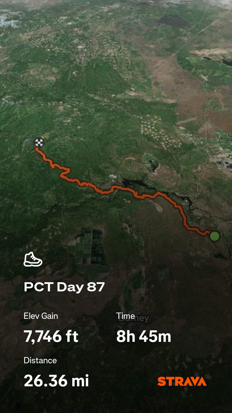
Day 87 – 7/15
25.4 miles from Burney Mountain Guest Ranch to Red Mountain
July 25s: 10
The breakfast buffet hit. Spout and I ate until we felt physically uncomfortable, then prepared to head out around 9:00am. As if some extra incentive to avoid being vortexed, the electricity and water went out at the ranch, so there was literally nothing better to do than hike.
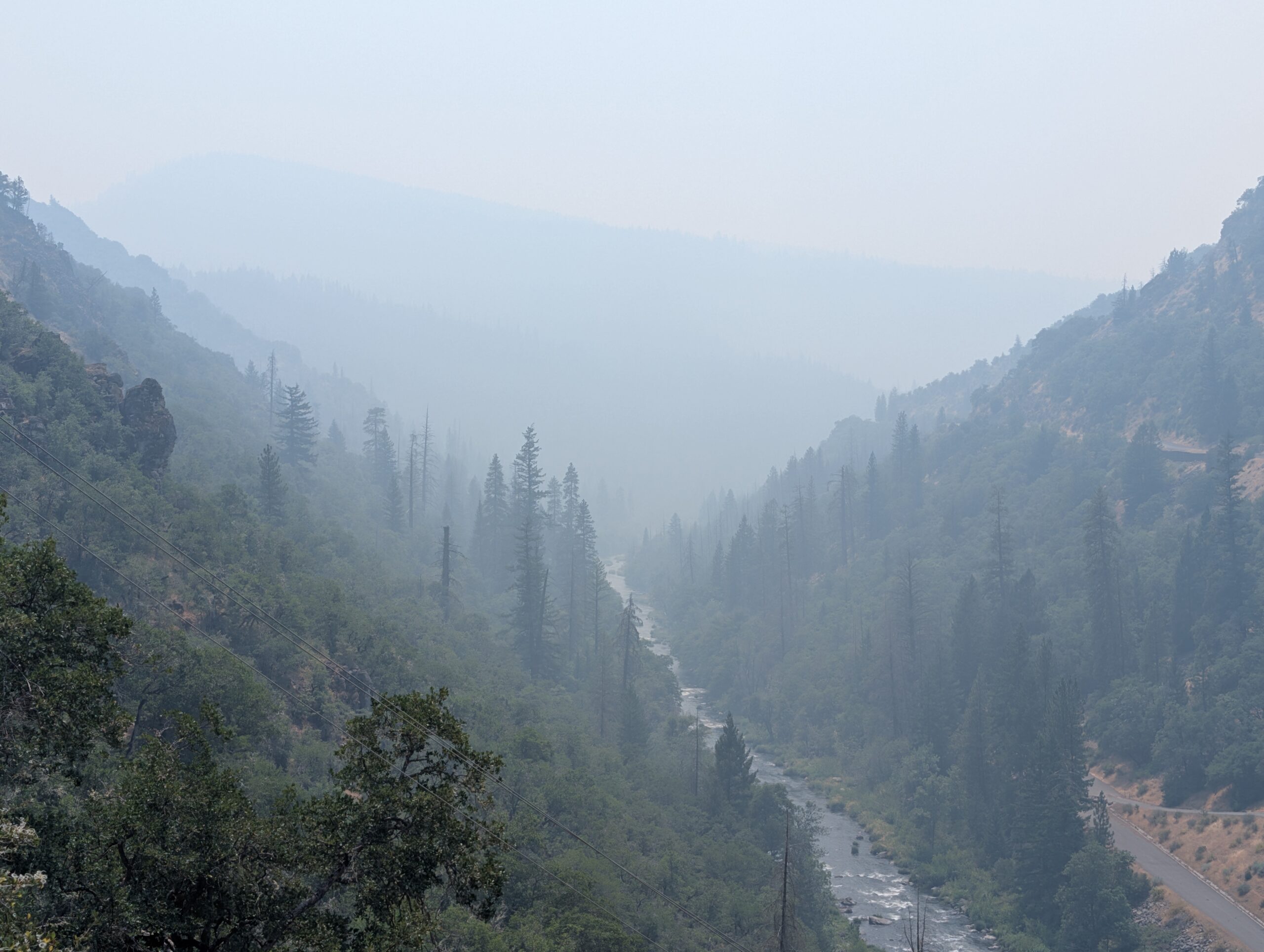
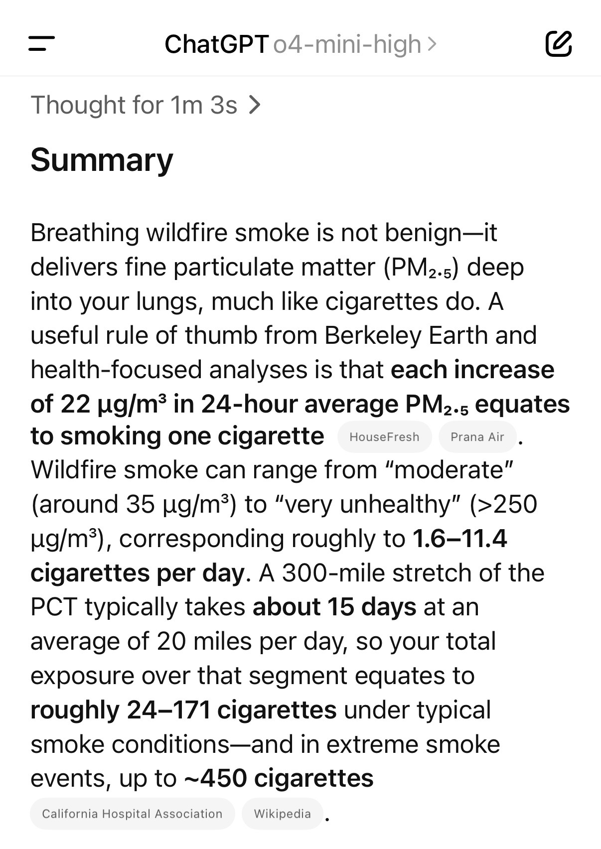
It cooled down quite a bit as forecasted. The high was around 80°. The Green Fire, still many miles away, continued to grow and spew pollution over the trail. We previously debated with the other hikers at the ranch: how many packs of cigarettes would be equivalent to what we were about to hike through? Linguini asked ChatGPT and shared the response.
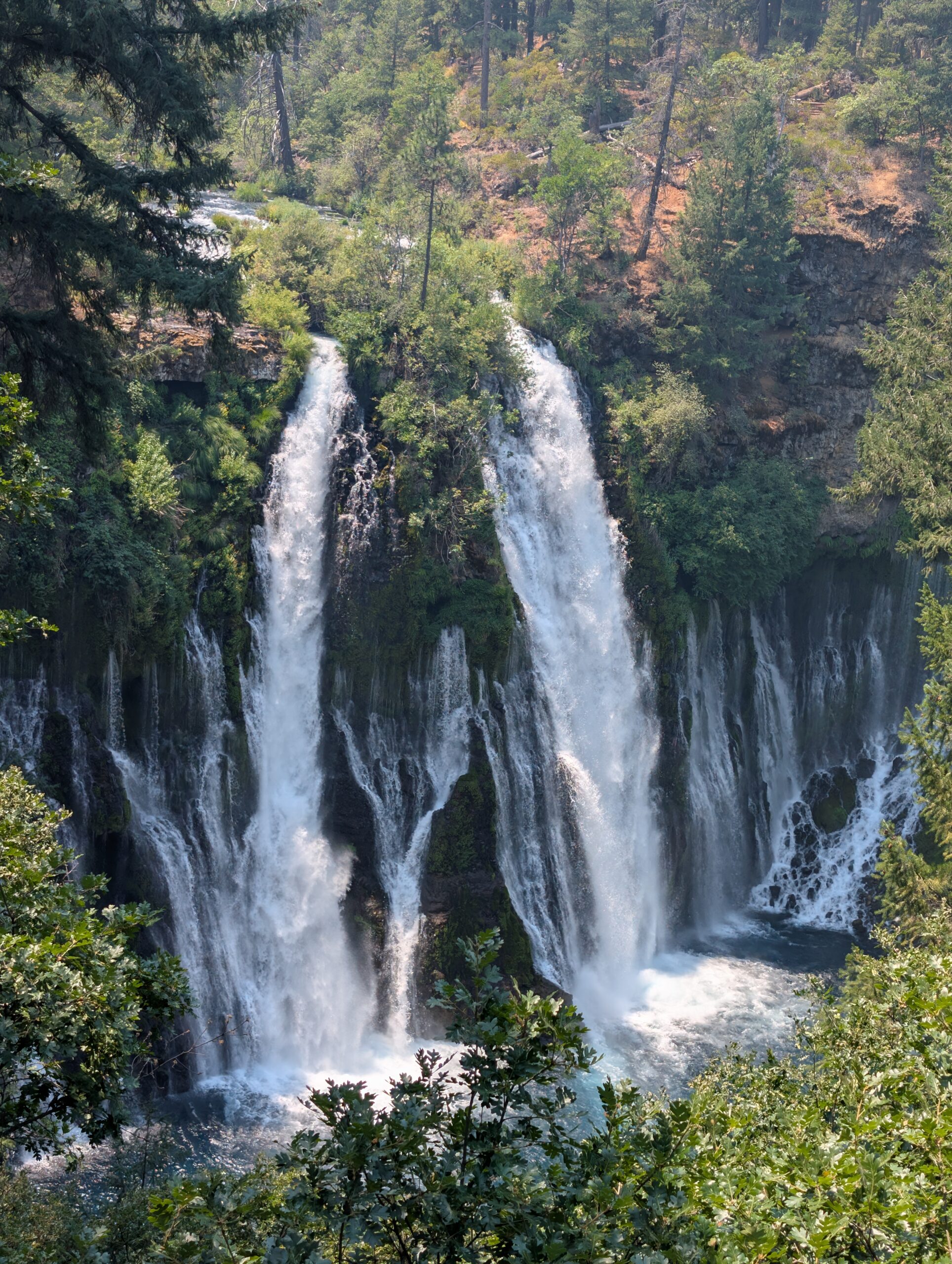
We followed a short side trail to Burney Falls, the “Eighth Wonder of the World”, according to Teddy Roosevelt. It was beautiful, albeit a bit overcrowded. Crowds imply gift shops, however, and there was one of those nearby. It had been three hours since we last ate hot food, so it was a very important stop.
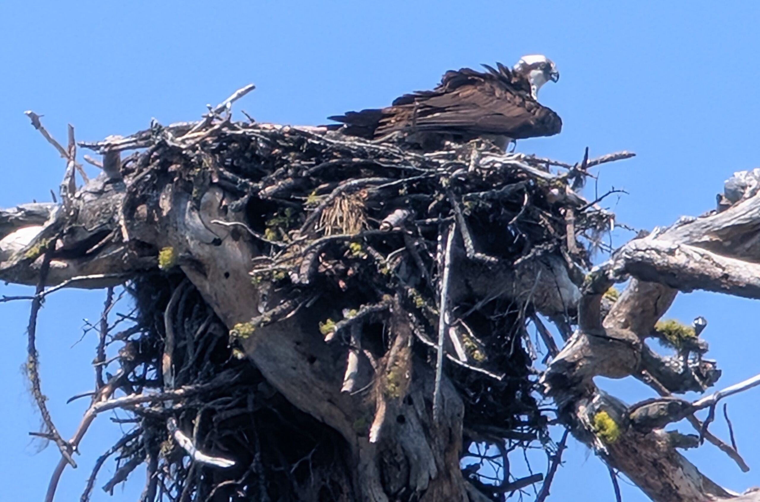
Once we returned to the isolation of the backcountry, we had a few wildlife encounters: an Osprey guarding its nest, a baby rattlesnake with a bad temper, and a pair of spotted fawns with their mother. Since the trail was finally unburned coniferous forest, the animals were plentiful again.
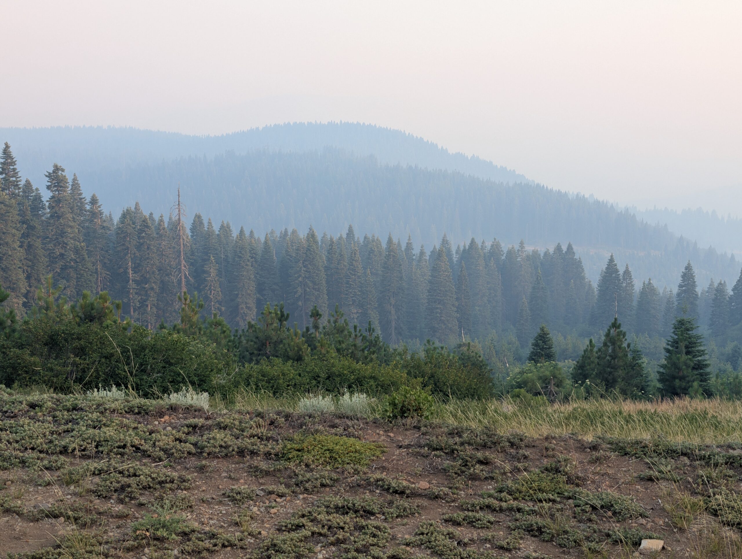
There was a gradual climb over seven miles that rose to a clouded ridge. The degree of haziness varied throughout the afternoon, but was dense enough to obscure every viewpoint of Mt. Shasta.
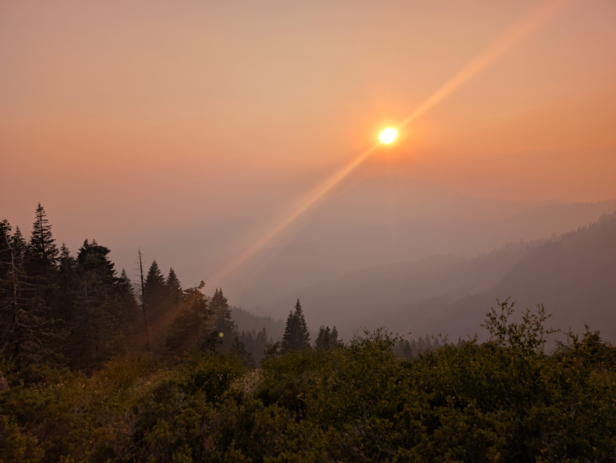
I finished reading Jack London’s, “Call of the Wild” before we stopped to make camp near Red Mountain. The smoke rolled in heavily overnight, turning the moon an ominous red hue as we fell asleep.
What’s Next?
We approach Mt. Shasta and enter the Shasta-Trinity Wilderness, considered to be the highlight of northern California.
How’s It Going?
The last couple of weeks have been especially difficult when considering the heat, burnt areas, wildfire smoke, dirtiness, and less-than-scenic trail. Many of the hikers around us have skipped significant portions of the trail. Some wanted nothing to do with the Dixie Fire burn area, others wanted nothing to do with the smoke (both valid). The problem is that the “bubble” is being shuffled around and we only ever seem to meet new faces. I am confident that the trail experience will improve soon.
Physically, we both continue to feel more comfortable hiking all day. Every once in a while, a random pain will still pop up but it never sticks around.
Gear Changes
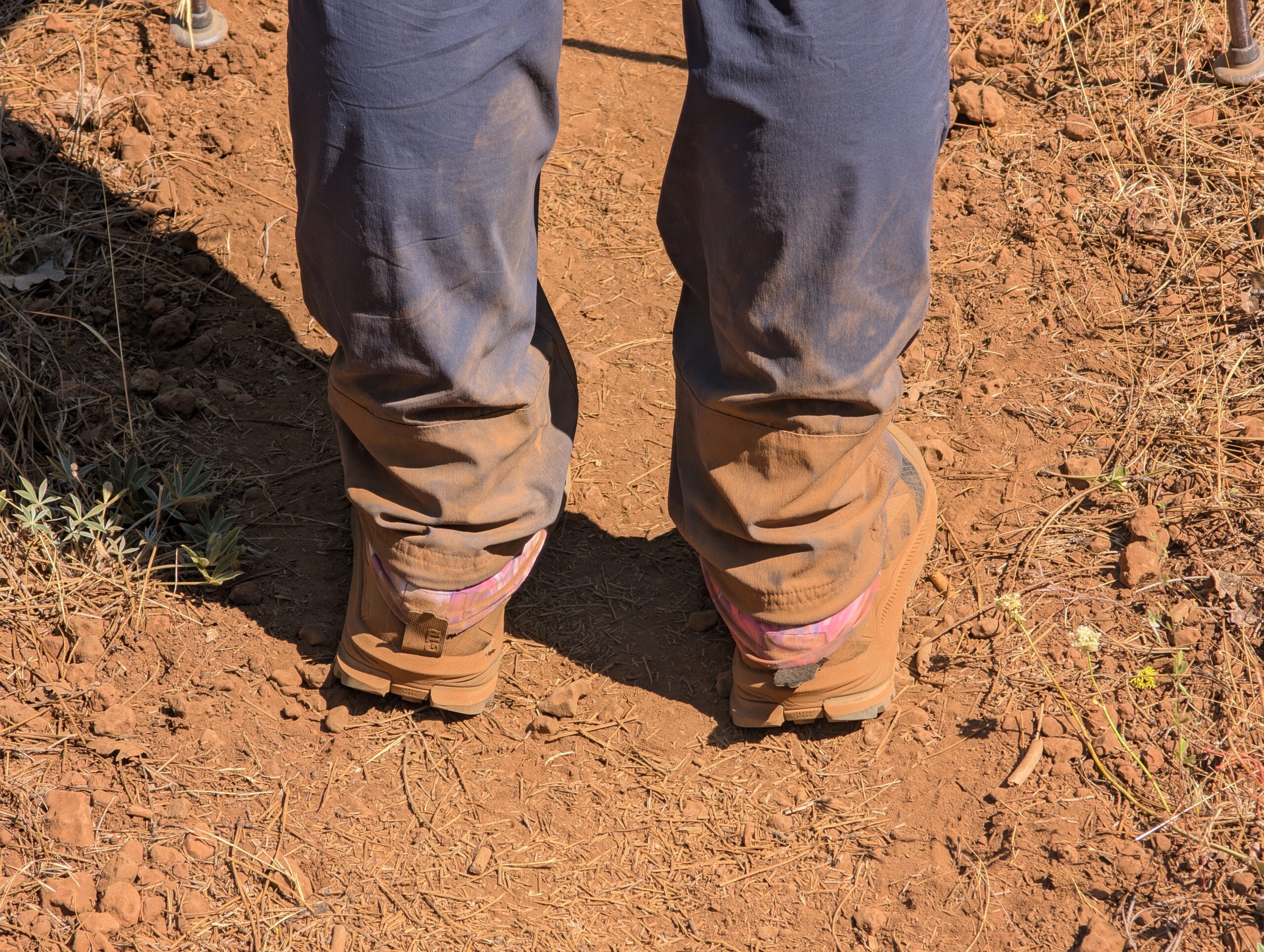
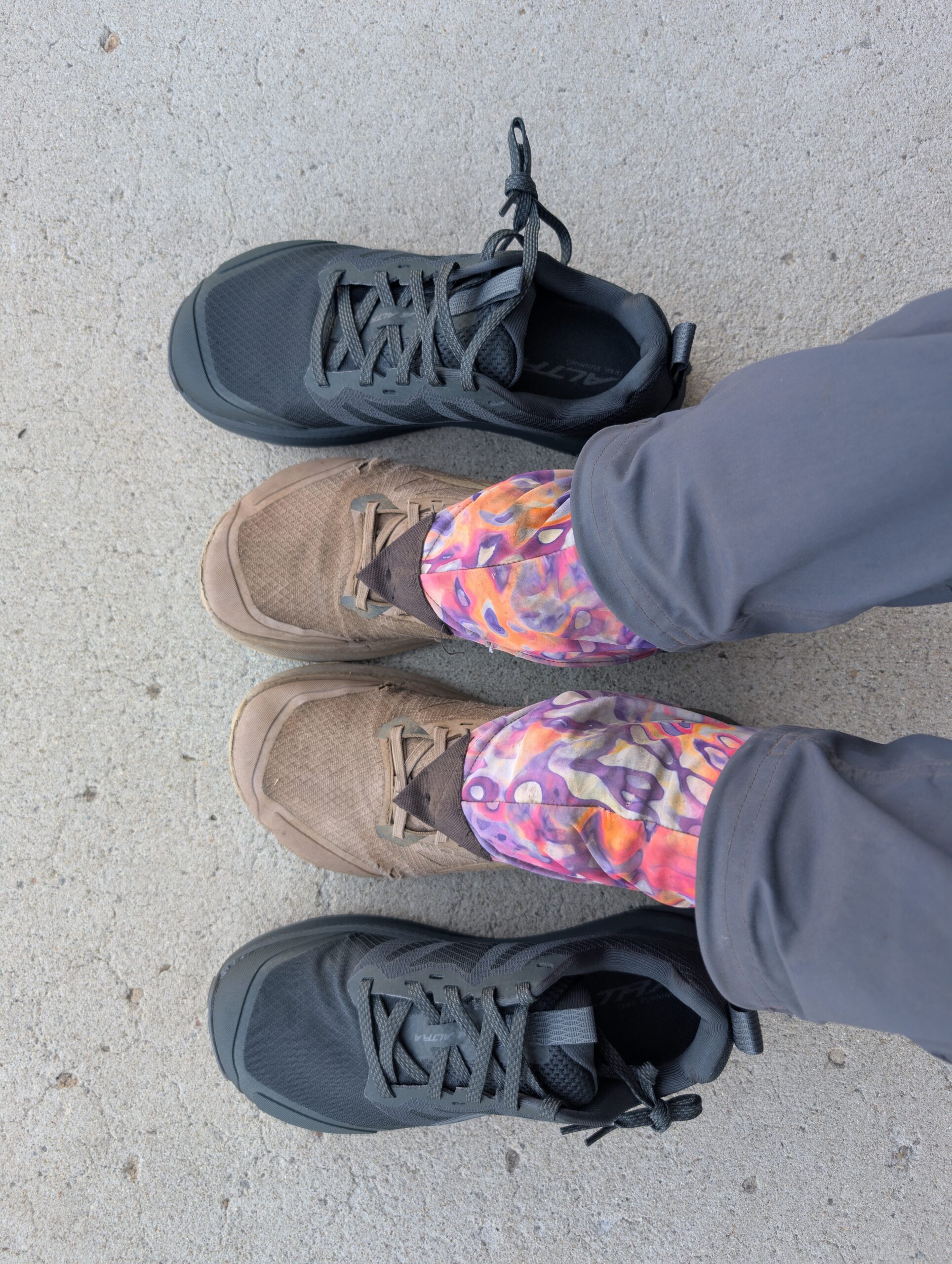
- Spout and I both replaced our shoes, our third pair of the hike. We are both using Altra Lone Peak 9 (not the Vibram model). Spout is trying a wide-size because her feet caused her other shoes to tear on the sides.
- We replaced our Toaks 700ml pot with a Vargo 1L Bot. The additional size will be useful for making bigger meals and the bot has a screw on lid so it can be used as a bottle or for cold-soaking.
- I added another Nitecore NB10000 power bank. The original one I was using ran out of power much faster than the one Spout carries. I emailed customer support and they sent me a free one and decided to just carry both.
- I added a set of Spud Clips to my trekking poles and backpack, so they can magnetically attach when I do not need them for hiking.
- I added the 50ft rope back, now that we do not have bear cans and may need to do bear hangs.
Notes
- The Green Fire has grown to 15,000+ acres at the time of posting. Since we are north of this fire and nearly past it, the air quality should improve.
- The Summit Fire PCT closure has officially been reopened as of 7/18! This is extremely lucky timing for us and means we will not need to skip or road walk around a ~50 mile stretch of trail between Etna, CA and Seiad Valley, CA.
- Epstein didn’t kill himself.
